Chattlehope Spout

Lake, Pool, Pond, Freshwater Marsh in Northumberland

England

Chattlehope Spout

Catcleugh Reservoir from the air Viewed from a Prague bound flight from Edinburgh.
Catcleugh Reservoir from the air Credit: Thomas Nugent

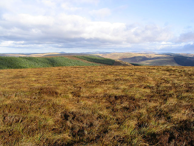
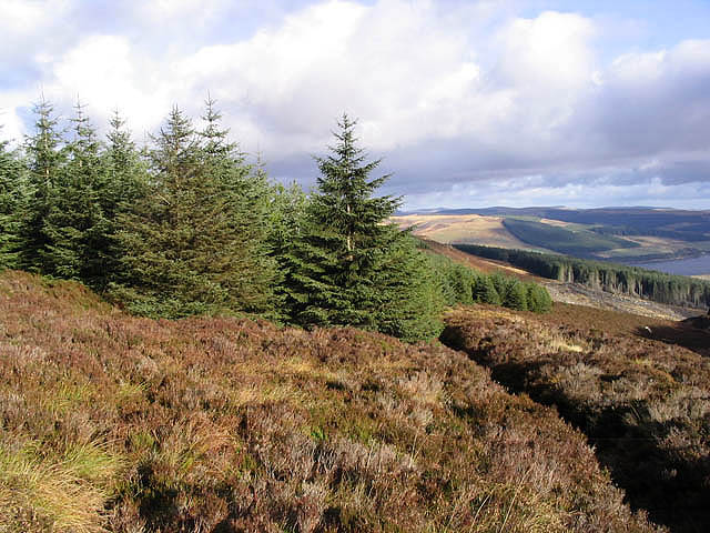
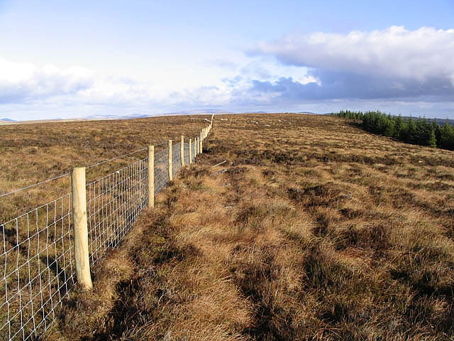
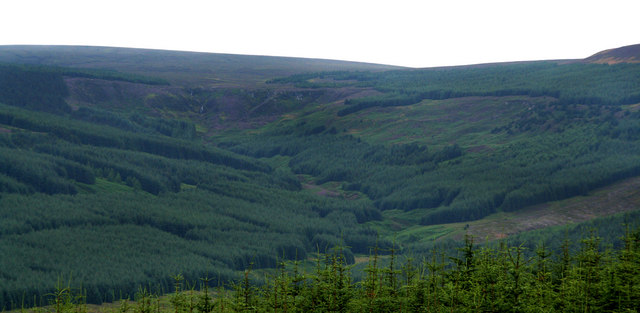
Chattlehope Spout is a natural wonder located in Northumberland, England. It is a picturesque site that consists of a lake, pool, pond, and freshwater marsh, all situated within a tranquil and scenic landscape.

The highlight of Chattlehope Spout is its imposing waterfall, which cascades down from the surrounding hills, creating a stunning display of rushing water. The waterfall is an impressive sight, particularly during rainy periods when it is at its fullest and most powerful.

The lake at Chattlehope Spout is a serene body of water, surrounded by lush vegetation and offering a peaceful atmosphere for visitors to enjoy. It is a popular spot for fishing enthusiasts, as it is home to a variety of fish species, including trout and salmon.

Adjacent to the lake is a pool, a smaller body of water formed by the waterfall. This pool provides a refreshing place for visitors to swim and cool off during the warmer months. The clear water is inviting and adds to the overall beauty of the area.

Further along, there is a small pond, which is a haven for wildlife. It attracts various bird species, including ducks and herons, as well as small mammals and amphibians. The pond is surrounded by reeds and other aquatic plants, creating a diverse and thriving habitat.

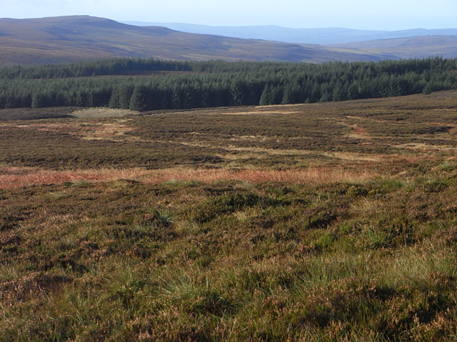
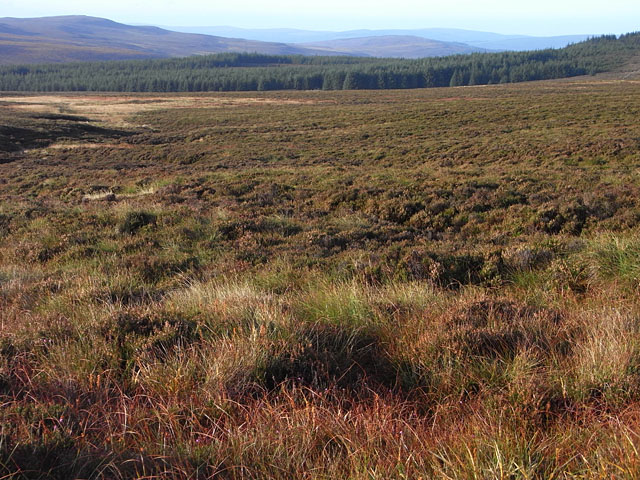
The freshwater marsh at Chattlehope Spout is a wetland area that plays a vital role in maintaining the ecological balance of the site. It is home to numerous plant species, such as water lilies and marsh marigolds, which provide food and shelter for a range of animal species.

Overall, Chattlehope Spout is a stunning natural attraction that offers a variety of aquatic features within its picturesque landscape. Whether you are a nature lover, angler, or simply seeking a peaceful retreat, this Northumberland gem has something to offer to everyone.

If you have any feedback on the listing, please let us know in the comments section below.

Chattlehope Spout Images

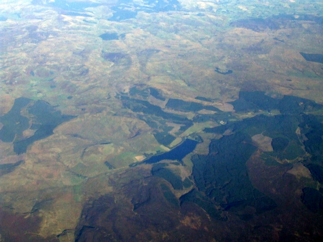
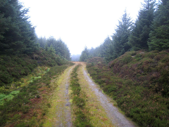
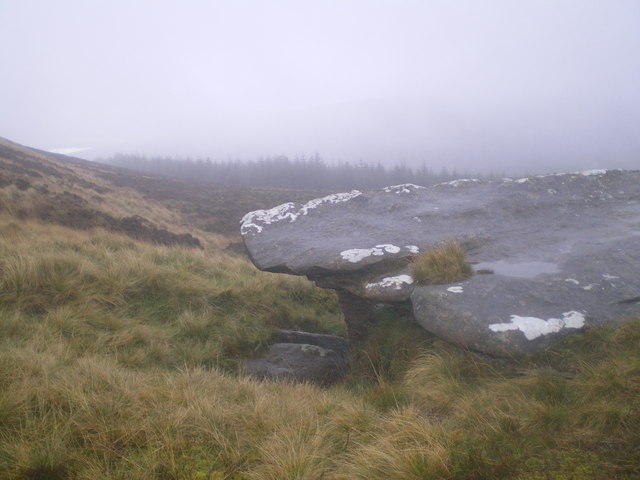
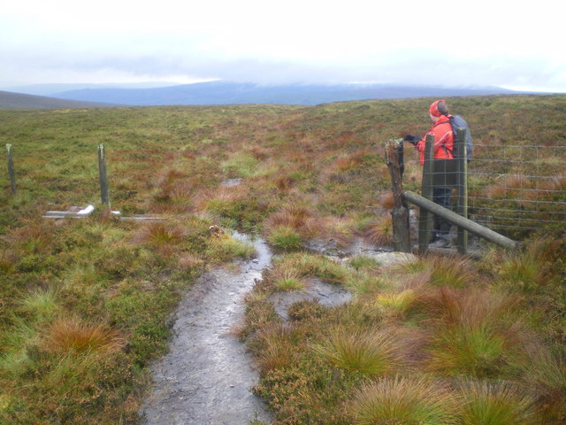
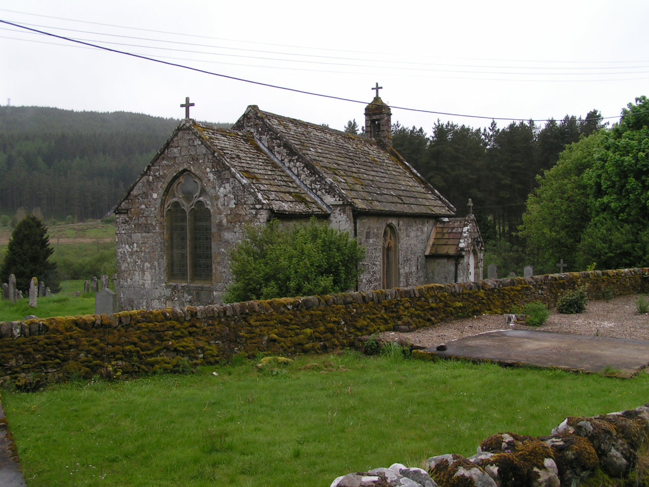
Images are sourced within 2km of 55.301968/-2.4563034 or Grid Reference NT7100. Thanks to Geograph Open Source API. All images are credited.

Catcleugh Reservoir from the air Viewed from a Prague bound flight from Edinburgh.
Catcleugh Reservoir from the air
Viewed from a Prague bound flight from Edinburgh.
Boulders at White Crags
The trig point near White Crags Overcast conditions at this trig point in a moorland situation at 536m. The flush bracket number is S7503.
The trig point near White Crags
Overcast conditions at this trig point in a moorland situation at 536m. The flush bracket number is S7503.
Moorland grasses
Moorland grasses
Wild goats at Kielderhead Not 100% sure of precise location as the path kind of disappears, but definitely within this grid square: Keeping above the burn walking down from the Girdle Stone towards the Kielder burn we got the smell of goats and lo! Two dozen of them crossing the slope.
Wild goats at Kielderhead
Not 100% sure of precise location as the path kind of disappears, but definitely within this grid square: Keeping above the burn walking down from the Girdle Stone towards the Kielder burn we got the smell of goats and lo! Two dozen of them crossing the slope.
East Kielder Moor Looking down from slightly steeper land on Oh Me Edge. Monkside is seen across the valley.
East Kielder Moor
Looking down from slightly steeper land on Oh Me Edge. Monkside is seen across the valley.
East Kielder Moor Looking down from near Oh Me Edge. Monkside is seen to the left beyond the valley of Ridge End Burn which rises in this vicinity.
East Kielder Moor
Looking down from near Oh Me Edge. Monkside is seen to the left beyond the valley of Ridge End Burn which rises in this vicinity.
Forest road in Castle Crag Forest The quality of forest roads in this privately owned forest seems to be much poorer than in Forestry Commission Forests, such as the adjacent Redesdale Forest.
Forest road in Castle Crag Forest
The quality of forest roads in this privately owned forest seems to be much poorer than in Forestry Commission Forests, such as the adjacent Redesdale Forest.
Right of way path on Girdle Fell This permissive path , marked on O.S. mapping, leads to Chattlehope and the A68 by Catcleugh Reservoir.
Right of way path on Girdle Fell
This permissive path , marked on O.S. mapping, leads to Chattlehope and the A68 by Catcleugh Reservoir.
High moorland on Girdle Fell
Forestry near Girdle Fell Some clear felling has taken place in Countess Wood on the right and the northwest end of Catcleugh Reservoir is on the far right.
Forestry near Girdle Fell
Some clear felling has taken place in Countess Wood on the right and the northwest end of Catcleugh Reservoir is on the far right.
Moorland landscape in the Cheviot Hills These boulders add interest to this moorland scene northwest of High Countess Crag. Plantations in Kielder Forest Park are in the distance on the right.
Moorland landscape in the Cheviot Hills
These boulders add interest to this moorland scene northwest of High Countess Crag. Plantations in Kielder Forest Park are in the distance on the right.
A moorland fence Runs parallel with forestry to the northwest of High Countess Crag.
A moorland fence
Runs parallel with forestry to the northwest of High Countess Crag.
Grouse moorland A grouse moor to the north-northwest of Girdle Fell. A line of these old timber posts on the moor, frames for old shooting butts, would suggest that this grouse moor has seen better times.
Grouse moorland
A grouse moor to the north-northwest of Girdle Fell. A line of these old timber posts on the moor, frames for old shooting butts, would suggest that this grouse moor has seen better times.
Chattlehope Burn Valley of Chattlehope Burn seen from near Harry's Pike in Redesdale Forest.  Low Countess Crag and the waterfalls at Chattlehope Spout are visible at the head of the valley.
Chattlehope Burn
Valley of Chattlehope Burn seen from near Harry's Pike in Redesdale Forest. Low Countess Crag and the waterfalls at Chattlehope Spout are visible at the head of the valley.
The Girdle Stone So-called because of the natural 'waist'.
Conifers above Catcleugh reservoir in distance.
The Girdle Stone
So-called because of the natural 'waist'. Conifers above Catcleugh reservoir in distance.
Boundary line Where the land ownership/management changes, there is a rickety fence along the high contour.
Boundary line
Where the land ownership/management changes, there is a rickety fence along the high contour.
Boulder near Chattlehope Spout Catcleugh reservoir is in the distance.
Boulder near Chattlehope Spout
Catcleugh reservoir is in the distance.
Show me another place!

Chattlehope Spout is located at Grid Ref: NT7100 (Lat: 55.301968, Lng: -2.4563034)

Unitary Authority: Northumberland

Police Authority: Northumbria

What 3 Words

///unveils.cocoons.throwaway. Near Rochester, Northumberland

Related Wikis

Whitelee Moor

Whitelee Moor is nature reserve of the Northumberland Wildlife Trust, in Northumberland, England, near Carter Bar. A large part of the moor is blanket...

Ramshope

Ramshope is a hamlet and former civil parish, now in the parish of Rochester in Northumberland, England located in Northumberland National Park. It lies...

Byrness

Byrness is a village within Rochester civil parish in Northumberland, England. It is approximately 37 miles (60 km) north-west of Newcastle upon Tyne on...

Carter Bar

Carter Bar is a pass in the Cheviot Hills, on the Anglo-Scottish border. It lies east of Carter Fell at the head of Redesdale, and is crossed by the A68...

Nearby Amenities

Located within 500m of 55.301968,-2.4563034
Castle Crag
Place: locality
Lat/Long: 55.2987655/-2.45221
Low Countess Crag
Place: locality
Lat/Long: 55.3062314/-2.4561249
The data included in this document is from www.openstreetmap.org. The data is made available under ODbL.

Have you been to Chattlehope Spout?

Leave your review of Chattlehope Spout below (or comments, questions and feedback).