Milldale

Valley in Cheshire

England

Milldale

Boating Lake. Doddington Hall lake near Bridgemere.
Boating Lake. Credit: Andy and Hilary

Milldale is a small, picturesque village located in the Cheshire Valley in the county of Cheshire, England. Situated in the northwestern part of the county, it is nestled between the towns of Congleton and Macclesfield.

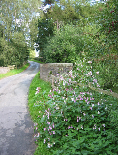
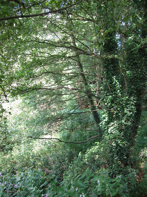
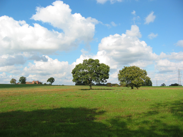
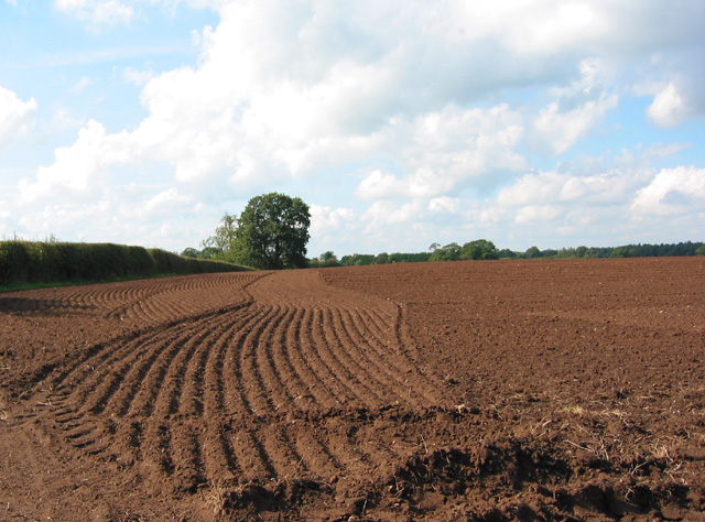
The village is renowned for its stunning natural beauty, with rolling hills, lush green valleys, and charming stone cottages dotting the landscape. The River Dane, which flows through Milldale, adds to its scenic appeal, offering a peaceful and tranquil atmosphere.

Milldale is a popular destination for nature lovers and outdoor enthusiasts due to its proximity to the Peak District National Park. The park boasts a diverse range of flora and fauna, making it a haven for hikers, birdwatchers, and wildlife enthusiasts. The village itself offers several walking trails, allowing visitors to explore the surrounding countryside and take in the breathtaking views.

Despite its small size, Milldale has a rich history, with evidence of human settlement dating back to the Stone Age. The village has a few historical landmarks, including a 17th-century mill, which was once a vital part of the local economy. Today, it serves as a reminder of the village's industrial past.

Although Milldale is primarily a residential area, it offers a few amenities for both locals and visitors. There is a quaint village pub, known for its warm hospitality and traditional English fare. Additionally, a small shop provides basic necessities for the community.

Overall, Milldale is a hidden gem in the Cheshire Valley, offering a perfect blend of natural beauty, history, and tranquility. It is a place where one can escape the hustle and bustle of city life and immerse themselves in the idyllic English countryside.

If you have any feedback on the listing, please let us know in the comments section below.
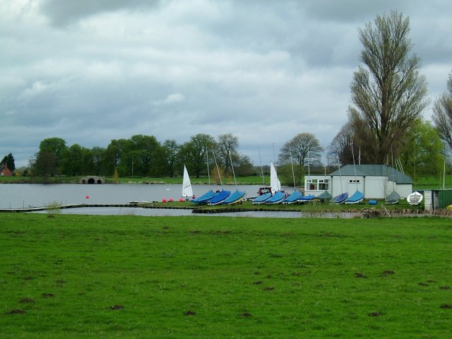
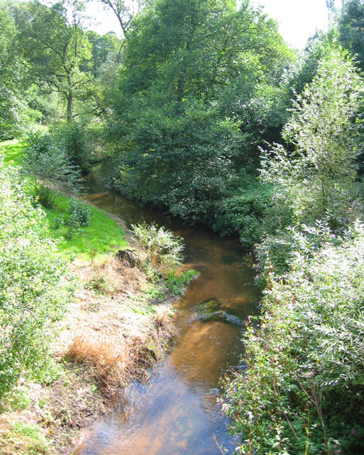
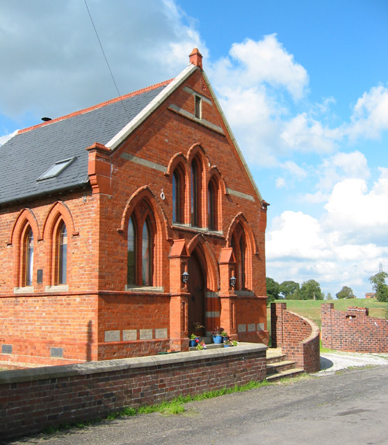
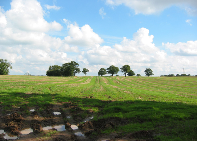
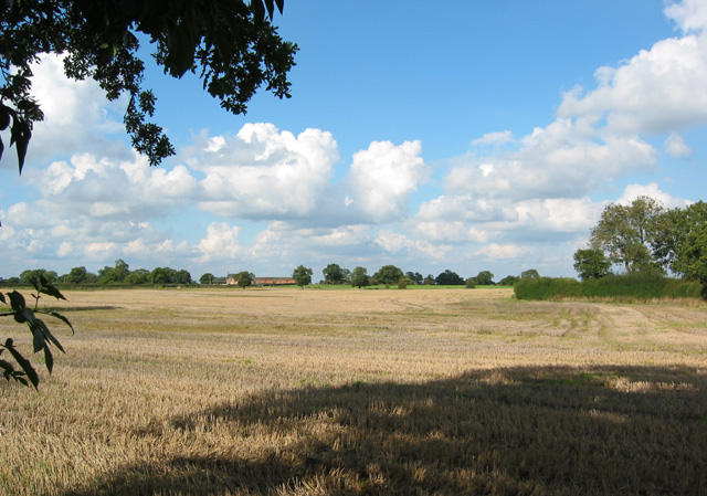
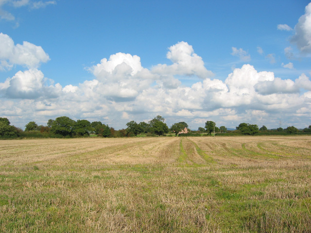
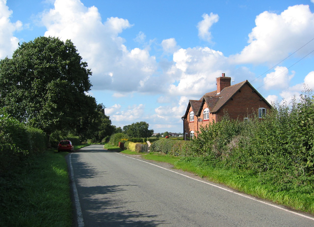
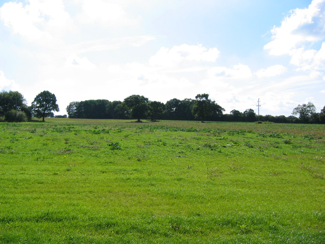
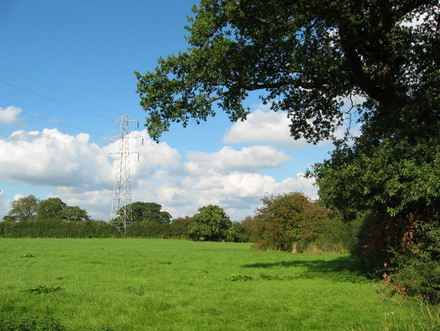
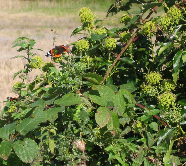
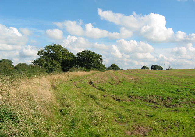
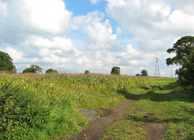
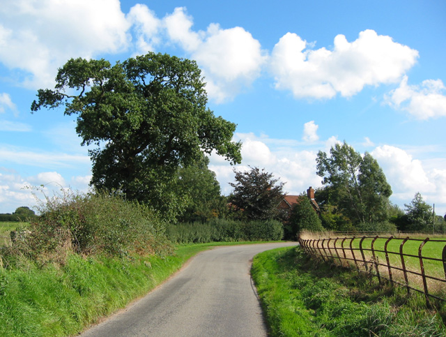
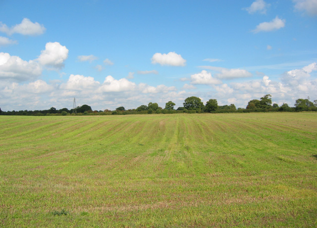
Milldale Images

Images are sourced within 2km of 53.024001/-2.4258109 or Grid Reference SJ7147. Thanks to Geograph Open Source API. All images are credited.

Boating Lake. Doddington Hall lake near Bridgemere.
Boating Lake.
Doddington Hall lake near Bridgemere.
Forge Brook and Mill Covert A pleasant small brook lined with willows, within earshot of the A51. View from bridge on Mill Lane
Forge Brook and Mill Covert
A pleasant small brook lined with willows, within earshot of the A51. View from bridge on Mill Lane
Former chapel at Blakenhall Red brick chapel on Mill Lane on the eastern edge of the hamlet of Blakenhall. Now residential
Former chapel at Blakenhall
Red brick chapel on Mill Lane on the eastern edge of the hamlet of Blakenhall. Now residential
Stand of trees on the horizon Gently rolling field off Mill Lane, which appears to have been used for pastureland after a grain harvest. One of the pylons from the major line running roughly WNW to ESE across the gridsquare is visible at right of frame
Stand of trees on the horizon
Gently rolling field off Mill Lane, which appears to have been used for pastureland after a grain harvest. One of the pylons from the major line running roughly WNW to ESE across the gridsquare is visible at right of frame
View towards Gonsley Green Farm View across recently harvested grain field, from Den Lane. The farm in the distance is Gonsley Green Farm, on the boundary with <a href="https://www.geograph.org.uk/gridref/SJ7248">SJ7248</a>. The trees on right of frame are on a field boundary, one of a set of small fields just west of the T-junction with Mill Lane
View towards Gonsley Green Farm
View across recently harvested grain field, from Den Lane. The farm in the distance is Gonsley Green Farm, on the boundary with SJ7248. The trees on right of frame are on a field boundary, one of a set of small fields just west of the T-junction with Mill Lane
View towards Gonsley Green Farm View from Den Lane across large recently harvested field towards Gonsley Green Farm. The farm itself lies on the boundary with <a href="https://www.geograph.org.uk/gridref/SJ7348">SJ7348</a>
View towards Gonsley Green Farm
View from Den Lane across large recently harvested field towards Gonsley Green Farm. The farm itself lies on the boundary with SJ7348
Gonsley Cottages and Den Lane Den Lane is a busy, relatively broad, single-track lane. This pair of brick semi-detached houses stand in the midst of farmland near Gonsley Green Farm, and are typical of much 20th century rural housing in this area of Cheshire
Gonsley Cottages and Den Lane
Den Lane is a busy, relatively broad, single-track lane. This pair of brick semi-detached houses stand in the midst of farmland near Gonsley Green Farm, and are typical of much 20th century rural housing in this area of Cheshire
View towards Blakenhall Moss View across pastureland towards the small broad-leaved wood, Blakenhall Moss. View from Den Lane
View towards Blakenhall Moss
View across pastureland towards the small broad-leaved wood, Blakenhall Moss. View from Den Lane
Pasture north of Den Lane Small fields with wooded field boundaries north of Den Lane, immediately west of the T-junction with Mill Lane. The photograph also shows the major powerline that runs broadly north-south through this gridsquare
Pasture north of Den Lane
Small fields with wooded field boundaries north of Den Lane, immediately west of the T-junction with Mill Lane. The photograph also shows the major powerline that runs broadly north-south through this gridsquare
Red Admirals and ivy flowers Ivy flowers in the hedgerow on Den Lane were a magnet for Red Admiral butterflies in the late afternoon. This small area had seven butterflies but most were camera shy
Red Admirals and ivy flowers
Ivy flowers in the hedgerow on Den Lane were a magnet for Red Admiral butterflies in the late afternoon. This small area had seven butterflies but most were camera shy
Field by junction of Den Lane and Mill Lane The hedgerow on the left is Den Lane. View south-east, along Den Lane, towards <a href="https://www.geograph.org.uk/gridref/SJ7347">SJ7347</a>
Field by junction of Den Lane and Mill Lane
The hedgerow on the left is Den Lane. View south-east, along Den Lane, towards SJ7347
Pylons east of Blakenhall Two major powerlines cut across the gridsquare; this view shows the line that runs broadly east-west. Sweetcorn is a relatively rare land use in this area. View from Mill Lane, near New Farm, east of Blakenhall
Pylons east of Blakenhall
Two major powerlines cut across the gridsquare; this view shows the line that runs broadly east-west. Sweetcorn is a relatively rare land use in this area. View from Mill Lane, near New Farm, east of Blakenhall
Bridge over Forge Brook Mill Lane, showing bridge over Forge Brook at Mill Covert. The orchid-like flowers in the foreground may have been an escapee from a neighbouring garden
Bridge over Forge Brook
Mill Lane, showing bridge over Forge Brook at Mill Covert. The orchid-like flowers in the foreground may have been an escapee from a neighbouring garden
Mill Covert A narrow strip of broad-leaved woodland runs beside Forge Brook. The orchid-like flowers in the foreground may be escapees from an adjacent garden
Mill Covert
A narrow strip of broad-leaved woodland runs beside Forge Brook. The orchid-like flowers in the foreground may be escapees from an adjacent garden
Pasture at Blakenhall The pylons on the right are part of a major powerline running broadly east-west through this gridsquare. The farm in the distance is probably West View. View north east from the east side of the hamlet, near the former chapel
Pasture at Blakenhall
The pylons on the right are part of a major powerline running broadly east-west through this gridsquare. The farm in the distance is probably West View. View north east from the east side of the hamlet, near the former chapel
Corduroy field Large, gently undulating arable field by Mill Lane, whose hedgerow is visible at the left of frame
Corduroy field
Large, gently undulating arable field by Mill Lane, whose hedgerow is visible at the left of frame
Mill Lane and West View At a right-angle bend in the narrow single-track Mill Lane stands West View, a brick farmhouse dated 1907. The rusty metal railings on the right are characteristic of Cheshire
Mill Lane and West View
At a right-angle bend in the narrow single-track Mill Lane stands West View, a brick farmhouse dated 1907. The rusty metal railings on the right are characteristic of Cheshire
Recently mown field, near West View Large, gently undulating field, near West View on Mill Lane. The distant pylons are part of a major powerline that cuts broadly east-west through this gridsquare
Recently mown field, near West View
Large, gently undulating field, near West View on Mill Lane. The distant pylons are part of a major powerline that cuts broadly east-west through this gridsquare
Show me another place!

Milldale is located at Grid Ref: SJ7147 (Lat: 53.024001, Lng: -2.4258109)

Unitary Authority: Cheshire East

Police Authority: Cheshire

What 3 Words

///easy.coasting.disengage. Near Chorlton, Cheshire

Related Wikis

Blakenhall, Cheshire

Blakenhall is a small village and former civil parish, now in the parish of Doddington and District, in the unitary authority area of Cheshire East and...

Delves Hall

Delves Hall, also known as Doddington Castle, is a fortified structure in Doddington Park to the north of Doddington Hall in the civil parish of Doddington...

Doddington, Cheshire

Doddington is a former civil parish, now in the parish of Doddington and District, in the unitary authority area of Cheshire East and the ceremonial county...

Doddington Hall, Cheshire

Doddington Hall is a country house in Doddington Park in the civil parish of Doddington, Cheshire, England. It is recorded in the National Heritage List...

Nearby Amenities

Located within 500m of 53.024001,-2.4258109
The data included in this document is from www.openstreetmap.org. The data is made available under ODbL.

Have you been to Milldale?

Leave your review of Milldale below (or comments, questions and feedback).