Robin Knight's Rough
Wood, Forest in Cheshire
England
Robin Knight's Rough
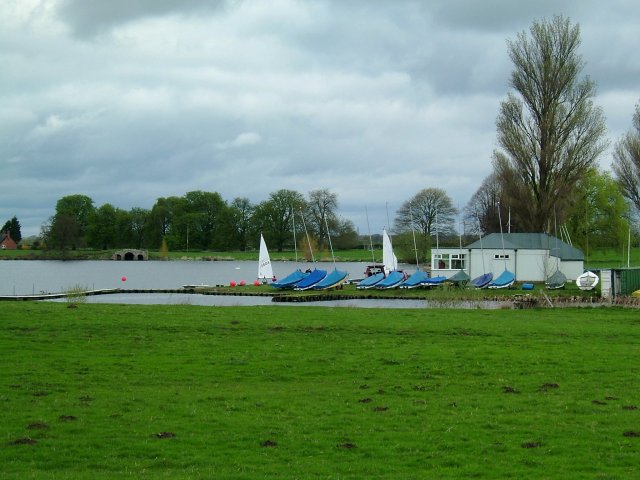
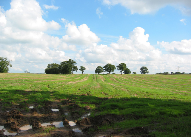
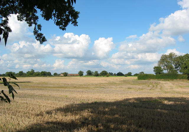
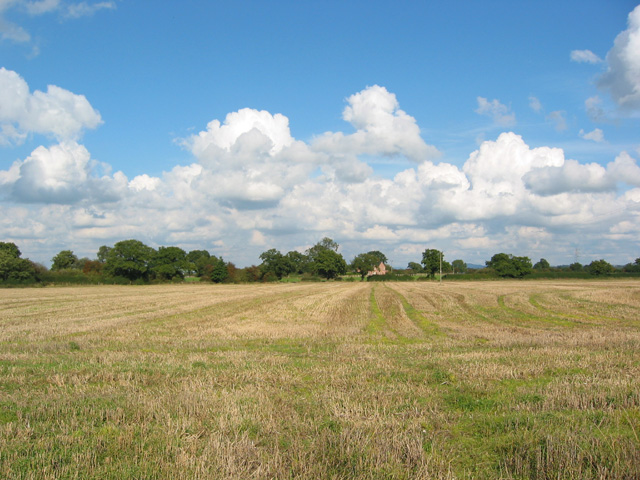
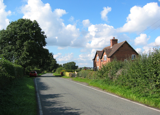
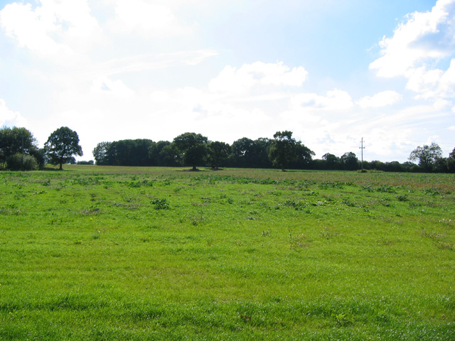
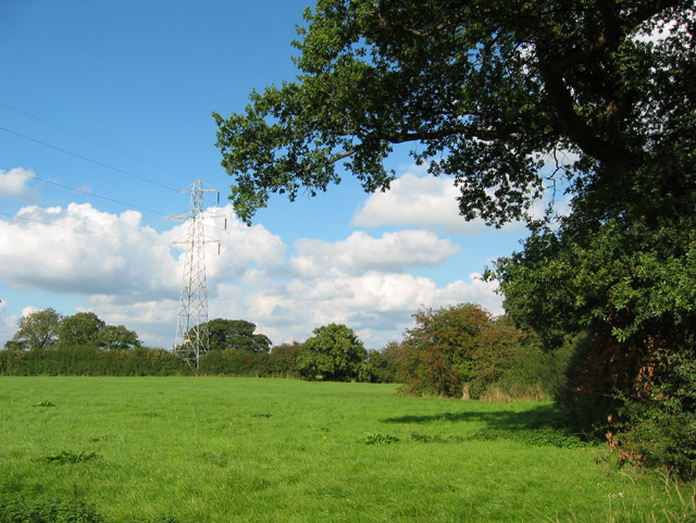
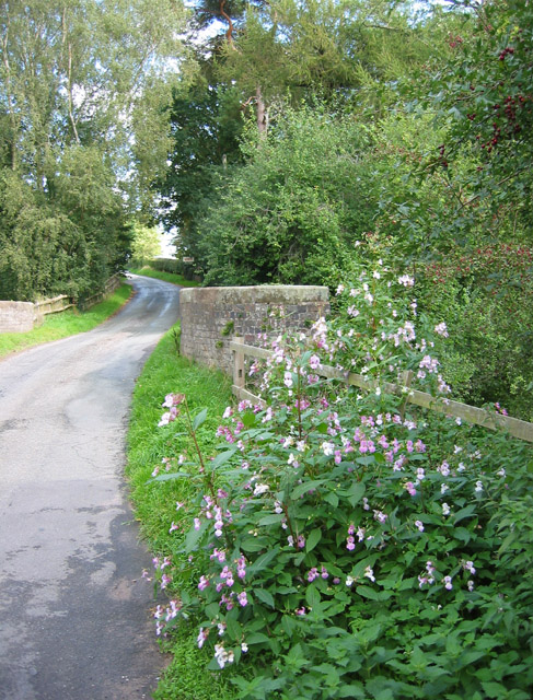
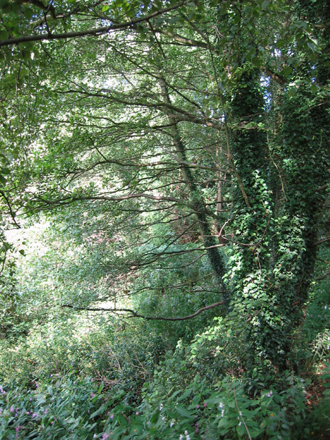
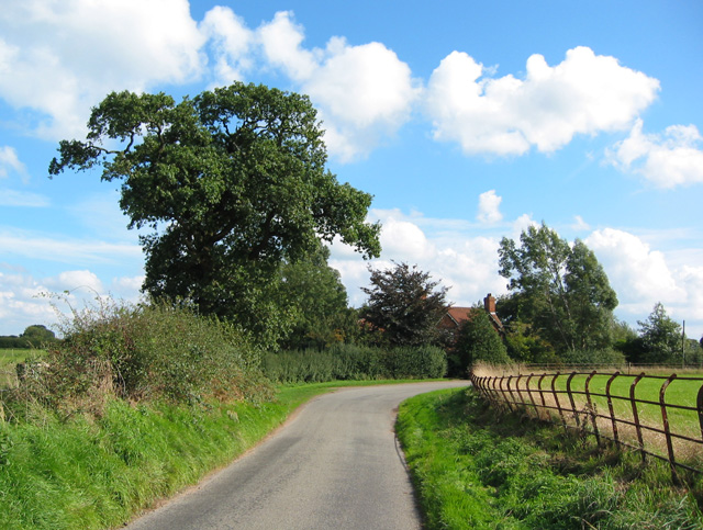
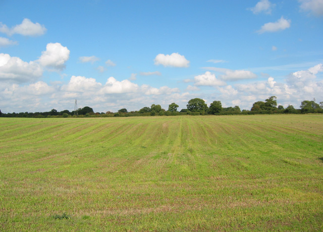
Robin Knight's Rough is a picturesque woodland located in Cheshire, England. Spread across a vast area, this forested area is known for its lush greenery, diverse wildlife, and tranquil atmosphere. With its dense canopy of trees, Robin Knight's Rough offers a sense of seclusion and escape from the hustle and bustle of urban life.
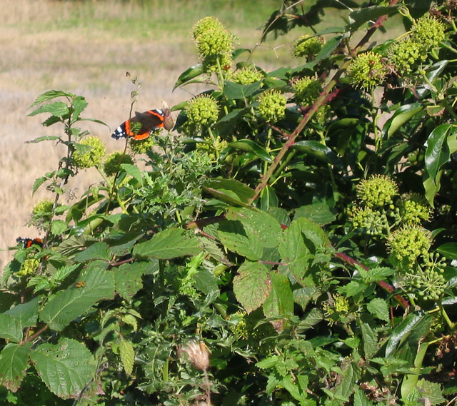
The woodland comprises a variety of tree species, including oak, beech, birch, and ash, which create a vibrant and ever-changing landscape throughout the seasons. These trees provide a home to an array of wildlife, making it a popular spot for nature enthusiasts and birdwatchers. Visitors can expect to spot woodland birds such as woodpeckers, owls, and various songbirds, as well as small mammals like squirrels, rabbits, and even the occasional deer.
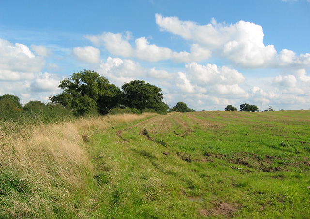
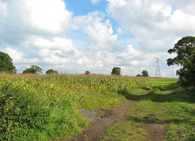
The forest is crisscrossed with well-maintained footpaths and trails, allowing visitors to explore the area at their own pace. There are several picnic spots and benches strategically placed throughout the woodland, providing an opportunity for visitors to relax and immerse themselves in the peaceful surroundings.
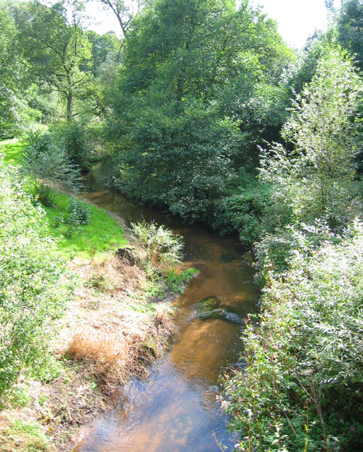
One of the standout features of Robin Knight's Rough is its natural beauty, especially during spring when the forest floor is carpeted with bluebells, creating a breathtaking sight. The woodland is also home to a small stream that meanders through the trees, adding to the overall charm and serenity of the place.
Whether it's for a leisurely stroll, a family outing, or a nature walk, Robin Knight's Rough offers a wonderful escape into nature, where visitors can experience the tranquility and beauty of a Cheshire woodland.
If you have any feedback on the listing, please let us know in the comments section below.
Robin Knight's Rough Images
Images are sourced within 2km of 53.023627/-2.4222738 or Grid Reference SJ7147. Thanks to Geograph Open Source API. All images are credited.
Robin Knight's Rough is located at Grid Ref: SJ7147 (Lat: 53.023627, Lng: -2.4222738)
Unitary Authority: Cheshire East
Police Authority: Cheshire
What 3 Words
///loafer.noted.adverbs. Near Chorlton, Cheshire
Nearby Locations
Related Wikis

Blakenhall, Cheshire
Blakenhall is a small village and former civil parish, now in the parish of Doddington and District, in the unitary authority area of Cheshire East and...

Delves Hall
Delves Hall, also known as Doddington Castle, is a fortified structure in Doddington Park to the north of Doddington Hall in the civil parish of Doddington...

Doddington, Cheshire
Doddington is a former civil parish, now in the parish of Doddington and District, in the unitary authority area of Cheshire East and the ceremonial county...
Doddington Hall, Cheshire
Doddington Hall is a country house in Doddington Park in the civil parish of Doddington, Cheshire, England. It is recorded in the National Heritage List...
Lea, Cheshire
Lea is a former civil parish, now in the parish of Doddington and District, in the unitary authority area of Cheshire East and the ceremonial county of...
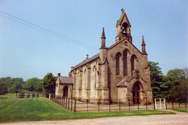
St John's Church, Doddington
St John's Church, Doddington, is located off Hunsterson Road in the grounds of Doddington Hall, Cheshire, England. It is an active Anglican parish church...

Checkley Hall
Checkley Hall is a small country house in the parish of Doddington and District (until 2023 Checkley cum Wrinehill), in Cheshire, England. The house was...

Bridgemere
Bridgemere is a village (at SJ717454) and former civil parish, now in the parish of Doddington and District, in the unitary authority area of Cheshire...
Nearby Amenities
Located within 500m of 53.023627,-2.4222738Have you been to Robin Knight's Rough?
Leave your review of Robin Knight's Rough below (or comments, questions and feedback).