Ling Hope
Valley in East Lothian
Scotland
Ling Hope
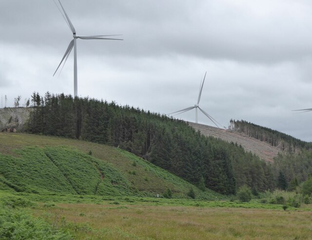
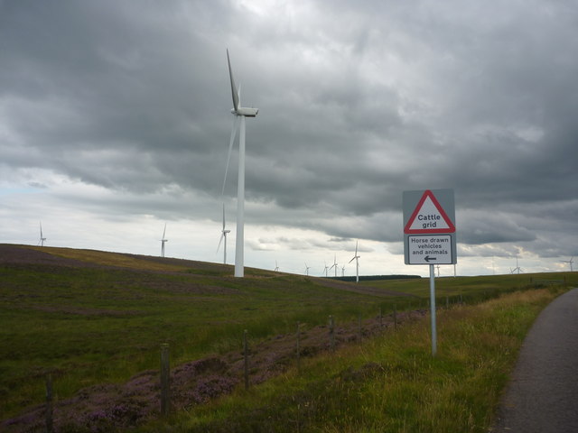
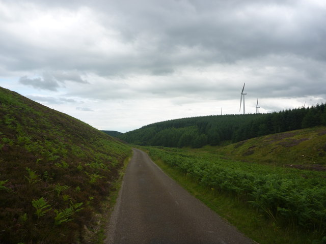
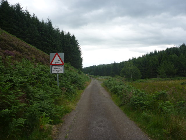
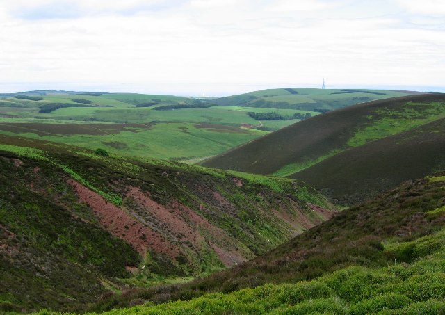
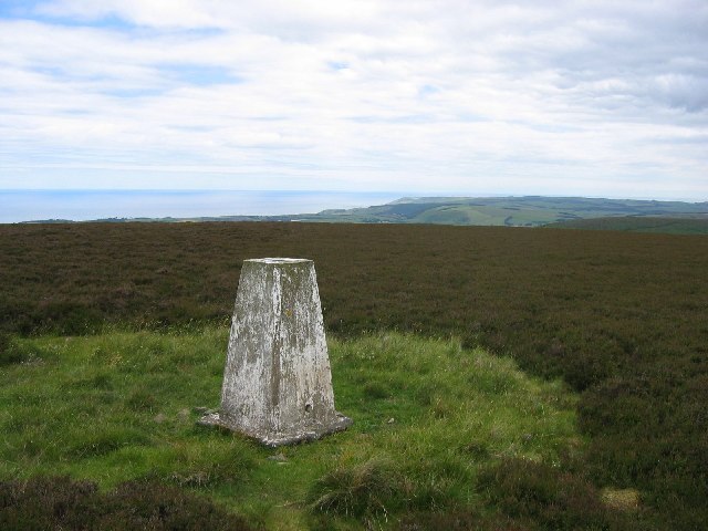
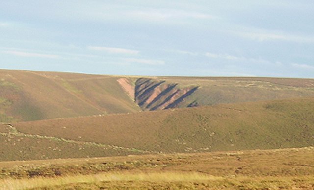
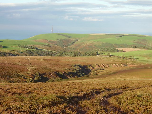
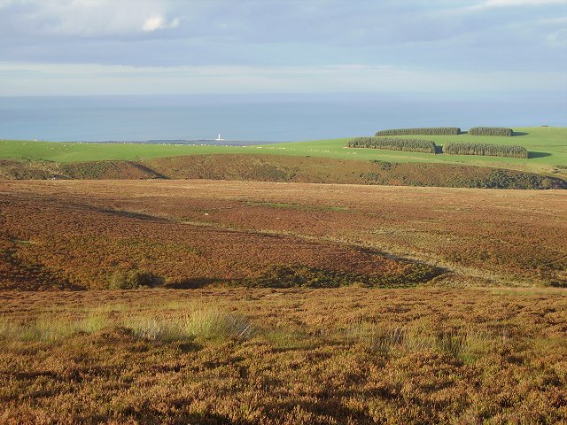
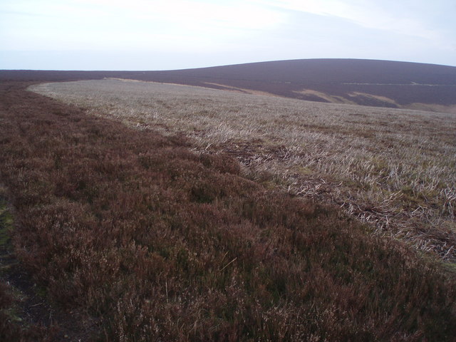
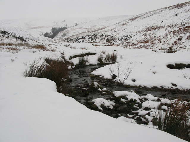
Ling Hope, located in East Lothian, Scotland, is a picturesque valley known for its stunning natural beauty and rich history. Nestled amidst rolling hills and surrounded by lush greenery, this tranquil area offers visitors a peaceful escape from the hustle and bustle of everyday life.
The valley is renowned for its diverse wildlife and is a popular destination for nature lovers and birdwatchers. Visitors can spot a variety of species, including red grouse, curlews, and golden eagles, as they explore the walking trails and pathways that wind through the valley.
In addition to its natural attractions, Ling Hope also boasts a fascinating history. The area was once home to ancient settlements and is dotted with archaeological sites, including burial mounds and standing stones. History enthusiasts can explore these remnants of the past and immerse themselves in the rich cultural heritage of the region.
Ling Hope is also a thriving agricultural area, with several farms and local produce markets nearby. Visitors can taste and purchase fresh, locally sourced products, such as organic vegetables, homemade jams, and artisanal cheeses.
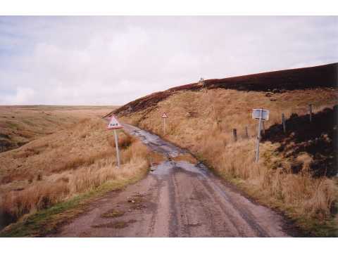
For those seeking outdoor adventure, Ling Hope offers a range of activities, including hiking, mountain biking, and fishing. The valley's rugged terrain and scenic vistas provide the perfect backdrop for outdoor enthusiasts to test their skills and explore the natural beauty of the area.
Overall, Ling Hope in East Lothian is a hidden gem, offering visitors a harmonious blend of natural beauty, intriguing history, and outdoor recreation opportunities.
If you have any feedback on the listing, please let us know in the comments section below.
Ling Hope Images
Images are sourced within 2km of 55.916559/-2.4747149 or Grid Reference NT7069. Thanks to Geograph Open Source API. All images are credited.
Ling Hope is located at Grid Ref: NT7069 (Lat: 55.916559, Lng: -2.4747149)
Unitary Authority: East Lothian
Police Authority: The Lothians and Scottish Borders
What 3 Words
///mooring.tasteful.iron. Near Dunbar, East Lothian
Nearby Locations
Related Wikis

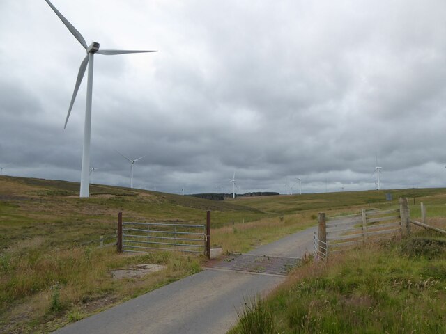
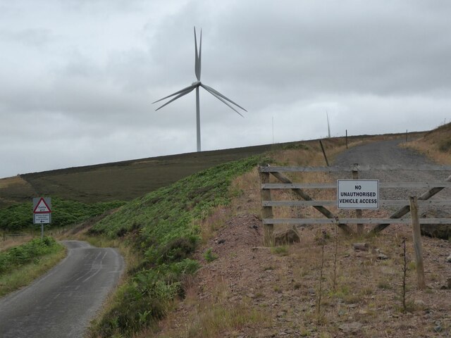
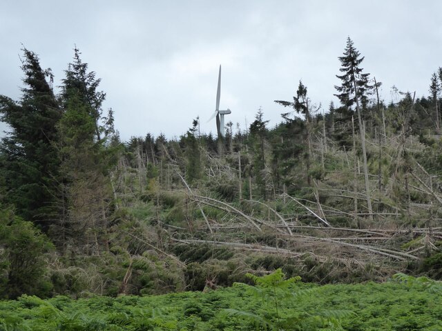
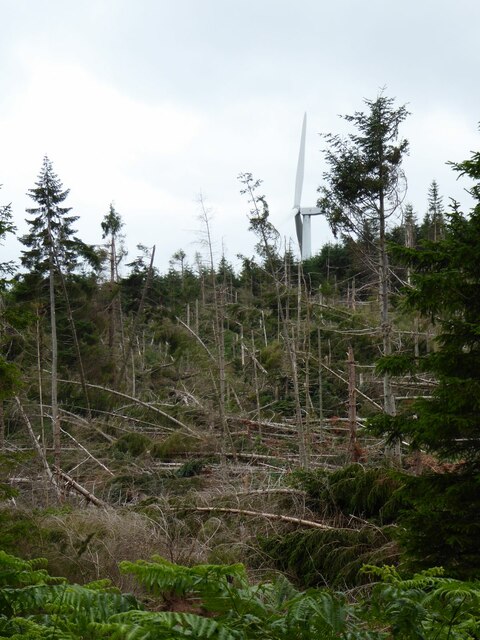
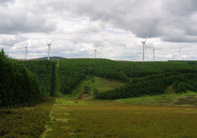
Crystal Rig Wind Farm
Crystal Rig Wind Farm is an operational onshore wind farm located on the Lammermuir Hills in the Scottish Borders region of Scotland. When phase 1 was...
Oldhamstocks
Oldhamstocks or Aldhamstocks ("old dwelling place") is a civil parish and small village in the east of East Lothian, Scotland, adjacent to the Scottish...

Blackcastle Hill, East Lothian
Blackcastle Hill is an Iron Age hill fort south of Innerwick, East Lothian, Scotland. It is near Cocklaw in the Lammermuir Hills at grid reference NT729724...

Innerwick
Innerwick (Scottish Gaelic: Inbhir Mhuice) is a coastal civil parish and small village, which lies in the east of East Lothian, five miles (eight kilometres...
Thornton Castle
Thornton Castle was a Scottish fortress belonging to the Montgomery family and subsequently Lord Home near Innerwick in East Lothian. Thornton Castle...
Innerwick Castle
Innerwick Castle is a ruined castle in East Lothian, Scotland, near the village of Innerwick, 5 miles (8.0 km) from Dunbar, on the Thornton Burn, and overlooking...

Innerwick railway station
Innerwick railway station served the village of Innerwick, East Lothian, Scotland from 1848 to 1964 on the East Coast Main Line. == History == The station...

Skateraw (East Lothian)
Skateraw is a small settlement in East Lothian, Scotland, centred on the Georgian farmhouse of Skateraw House and Skateraw Farm. It was formerly the site...
Nearby Amenities
Located within 500m of 55.916559,-2.4747149Have you been to Ling Hope?
Leave your review of Ling Hope below (or comments, questions and feedback).