Poskey Bottom
Valley in Westmorland Eden
England
Poskey Bottom

Poskey Bottom is a small village located in the picturesque Westmorland Valley, nestled within the county of Cumbria, England. Situated amidst rolling hills and lush greenery, this charming hamlet offers a tranquil and idyllic retreat for residents and visitors alike.
The village is renowned for its stunning natural beauty, with the Westmorland River meandering through the valley, providing a scenic backdrop to the area. The river also offers opportunities for leisure activities such as fishing and boating.
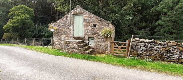
Poskey Bottom is a tight-knit community, with a population of around 300 residents. The village maintains a strong sense of community spirit, hosting regular events and gatherings throughout the year. The locals take pride in preserving the village's heritage, evident in the well-preserved historic buildings that dot the landscape.
Amenities in Poskey Bottom are limited, with a small village hall serving as a hub for community activities. However, the nearby market town of Kendal, just a short drive away, provides residents with access to a wider range of services, including shops, schools, and healthcare facilities.
The surrounding area offers a wealth of outdoor activities for nature enthusiasts. Walking and hiking trails crisscross the valley, allowing visitors to explore the stunning scenery and enjoy breathtaking views. The nearby Lake District National Park is also easily accessible, offering a myriad of recreational opportunities, from mountain climbing and cycling to wildlife spotting.
In summary, Poskey Bottom offers a tranquil haven in the heart of the Westmorland Valley, boasting natural beauty, a strong community spirit, and easy access to outdoor adventures.
If you have any feedback on the listing, please let us know in the comments section below.
Poskey Bottom Images
Images are sourced within 2km of 54.424317/-2.4581154 or Grid Reference NY7003. Thanks to Geograph Open Source API. All images are credited.


Poskey Bottom is located at Grid Ref: NY7003 (Lat: 54.424317, Lng: -2.4581154)
Administrative County: Cumbria
District: Eden
Police Authority: Cumbria
What 3 Words
///nightcap.removers.arrow. Near Kirkby Stephen, Cumbria
Nearby Locations
Related Wikis

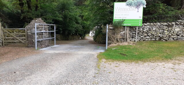
Weasdale
Weasdale is a small hamlet in Cumbria, England, 850 feet (260 m) above sea-level on the northern flanks of the Howgill Fells. It is located approximately...

Brownber
Brownber is a hamlet surrounding Brownber Hall near Newbiggin-on-Lune in Cumbria, England.

Newbiggin-on-Lune
Newbiggin-on-Lune is a village in the Eden district of Cumbria, England. Historically in Westmorland it is about 4 miles (6.4 km) south west of Kirkby...
Ravenstonedale railway station
Ravenstonedale railway station was situated on the South Durham & Lancashire Union Railway (SD&LUR) between Tebay and Kirkby Stephen East. It served the...
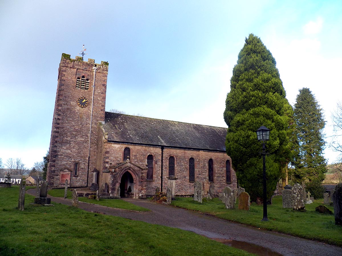
St Oswald's Church, Ravenstonedale
St Oswald's Church is in the village of Ravenstonedale, Cumbria, England. It is an active Anglican parish church in the deanery of Appleby, the archdeaconry...

Ravenstonedale Priory
Ravenstonedale Priory was a Gilbertine priory in Cumbria, England. It was founded in the reign of Henry II, when Torphin, son of Robert, son of Copsus...

Ravenstonedale
Ravenstonedale is a village and large civil parish in Cumbria, on the watershed between the River Lune and River Eden. The village lies 4 miles (6 km)...
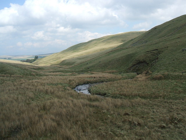
Weasdale Beck
Weasdale Beck is a stream in Cumbria, England. The Beck rises in Ravenstonedale and drains Leathgill Bridge on Randygill Top and Great Swindale, below...
Nearby Amenities
Located within 500m of 54.424317,-2.4581154Have you been to Poskey Bottom?
Leave your review of Poskey Bottom below (or comments, questions and feedback).