Glen Braes
Valley in Kincardineshire
Scotland
Glen Braes

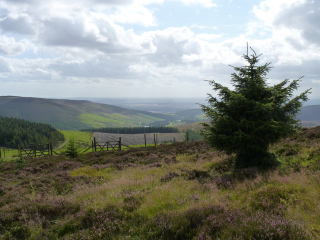
Glen Braes is a picturesque valley located in Kincardineshire, Scotland. Situated in the northeast of the country, it is surrounded by lush green hills and offers breathtaking views of the stunning Scottish countryside. The valley is known for its tranquil and idyllic setting, making it a popular destination for nature enthusiasts and those seeking a peaceful retreat.
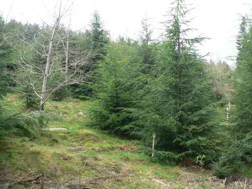
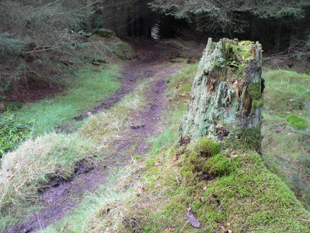
Covering an area of approximately 10 square miles, Glen Braes is home to a diverse range of flora and fauna. The valley is characterized by its dense woodlands, rolling meadows, and meandering streams. The landscape is dotted with traditional Scottish cottages and farms, adding to the charm and authenticity of the area.
Outdoor activities such as hiking, birdwatching, and fishing are popular in Glen Braes. The valley is crisscrossed by numerous walking trails that cater to all levels of fitness and offer an opportunity to explore the natural beauty of the region. The nearby River Dee, renowned for its salmon fishing, attracts anglers from far and wide.
Glen Braes is also steeped in history, with ancient ruins and archaeological sites scattered throughout the area. These remnants provide a glimpse into the valley's rich past, dating back to the Bronze Age. Visitors can explore ancient burial mounds, standing stones, and the remains of old settlements, which stand as a testament to the area's historical significance.
Overall, Glen Braes is a hidden gem in Kincardineshire, offering a serene and unspoiled environment for visitors to enjoy the beauty of Scotland's countryside and immerse themselves in its rich history.
If you have any feedback on the listing, please let us know in the comments section below.
Glen Braes Images
Images are sourced within 2km of 56.909373/-2.5095635 or Grid Reference NO6979. Thanks to Geograph Open Source API. All images are credited.


Glen Braes is located at Grid Ref: NO6979 (Lat: 56.909373, Lng: -2.5095635)
Unitary Authority: Aberdeenshire
Police Authority: North East
What 3 Words
///betrayed.cabinet.headings. Near Laurencekirk, Aberdeenshire
Nearby Locations
Related Wikis

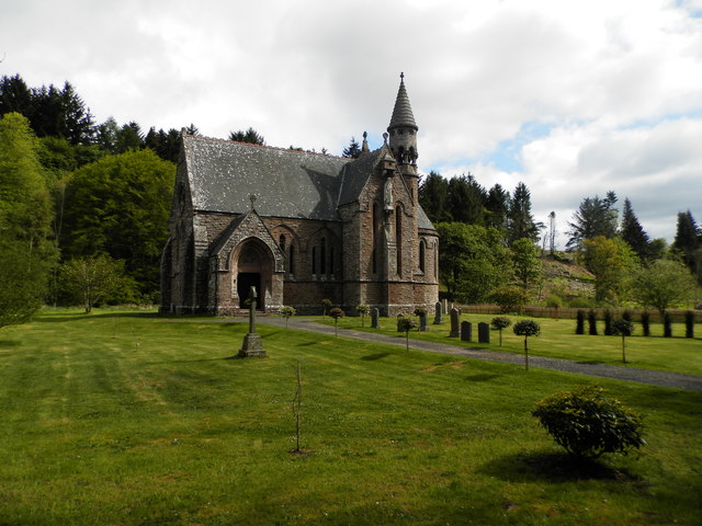
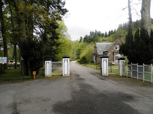
Drumtochty Castle
Drumtochty Castle is a neo-gothic style castellated mansion erected in 1812 approximately three kilometres north-west of Auchenblae, Kincardineshire, Scotland...

Kincardineshire
Kincardineshire, also known as the Mearns (from the Scottish Gaelic A' Mhaoirne meaning "the Stewartry"), is a historic county, registration county and...

Drumtochty Forest
Drumtochty Forest is a coniferous woodland in Kincardineshire, Scotland. In earlier times this forest was associated with Drumtochty Castle. Other notable...

Auchenblae
Auchenblae (, Scottish Gaelic: Achadh nam Blàth) is a village in the Kincardine and Mearns area of Aberdeenshire, formerly in Kincardineshire, Scotland...
Have you been to Glen Braes?
Leave your review of Glen Braes below (or comments, questions and feedback).