Bumley Hillock

Hill, Mountain in Kincardineshire

Scotland

Bumley Hillock

Strathfinella Hill Trig Pillar The triangulation pillar amidst the forest on the summit area of Strathfinella Hill.
Strathfinella Hill Trig Pillar Credit: Scott Cormie

Bumley Hillock is a small hill located in the county of Kincardineshire, Scotland. It is situated in the eastern part of the county, near the village of Bumley. With an elevation of approximately 300 meters (984 feet), Bumley Hillock is classified as a hill rather than a mountain.

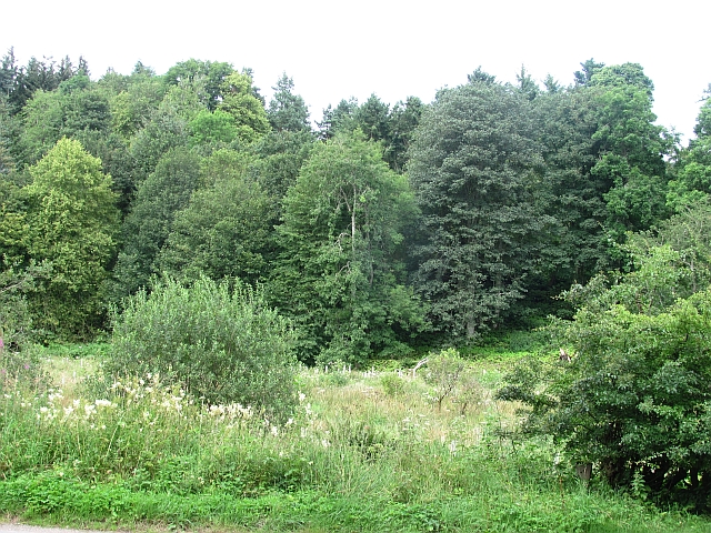
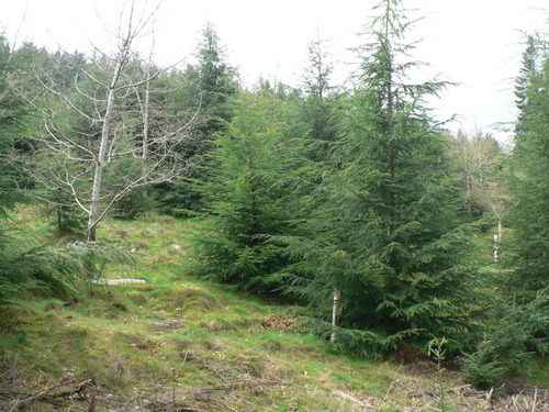
The hill is covered in lush greenery, with a mixture of grasses, heather, and some scattered trees. It offers a picturesque view of the surrounding countryside, including the rolling hills and valleys of Kincardineshire. On a clear day, it is possible to see the North Sea in the distance.

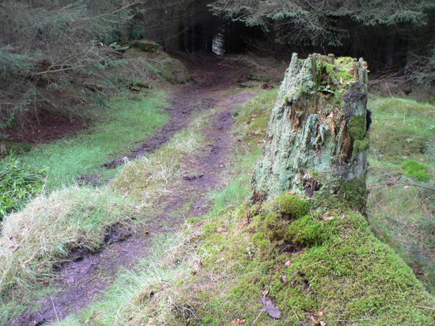
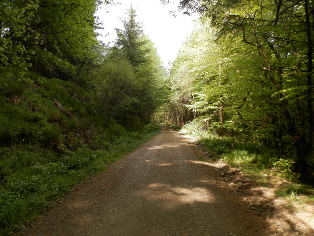
Bumley Hillock is a popular destination for hikers and nature enthusiasts. There are several walking trails that lead up to the summit, ranging in difficulty levels to cater to different abilities. Along the way, visitors can enjoy the diverse flora and fauna that inhabit the area, including various bird species and small mammals.

At the top of Bumley Hillock, there is a small stone cairn that marks the peak. From here, visitors can take in the panoramic views of the surrounding countryside. On a clear day, the view stretches as far as the Cairngorms National Park to the west.

Overall, Bumley Hillock offers a peaceful and serene escape for those seeking a nature-filled adventure in the beautiful Scottish countryside.

If you have any feedback on the listing, please let us know in the comments section below.

Bumley Hillock Images

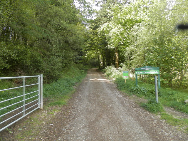
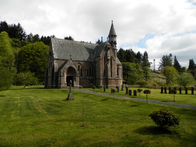
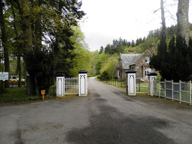
Images are sourced within 2km of 56.910202/-2.4977347 or Grid Reference NO6979. Thanks to Geograph Open Source API. All images are credited.

Strathfinella Hill Trig Pillar The triangulation pillar amidst the forest on the summit area of Strathfinella Hill.
Strathfinella Hill Trig Pillar
The triangulation pillar amidst the forest on the summit area of Strathfinella Hill.
Track on Strathfinella Hill Forest track heading westwards down from the summit of Strathfinella Hill.
Track on Strathfinella Hill
Forest track heading westwards down from the summit of Strathfinella Hill.
Access point to the forest
Fancy access gates
Fancy access gates
Field access
Field access
Glen of Drumtochty A glimpse of Drumtochty Castle through the trees. Most of the glen is forested.
Glen of Drumtochty
A glimpse of Drumtochty Castle through the trees. Most of the glen is forested.
Glen of Dumtochty Woodland in this mostly forested glen.
Glen of Dumtochty
Woodland in this mostly forested glen.
Ready for uplift There has been a lot of tree felling in Garrold Wood recently.  Trees have been brashed & stacked at the side of the forestry tracks ready for uplift.
Ready for uplift
There has been a lot of tree felling in Garrold Wood recently. Trees have been brashed & stacked at the side of the forestry tracks ready for uplift.
Lost in the pines A lonely birch tree in a forest of pines.
Lost in the pines
A lonely birch tree in a forest of pines.
Two for the price of 1 A hardwood tree that appears to be growing out of the trunk of a pine tree in Garrold Wood
Two for the price of 1
A hardwood tree that appears to be growing out of the trunk of a pine tree in Garrold Wood
Road Block This forestry road does not appear to be on the map, it comes to an abrupt end in a large turning circle about 100m beyond this fallen tree.  Time to turn round and try another route to the summit.
Road Block
This forestry road does not appear to be on the map, it comes to an abrupt end in a large turning circle about 100m beyond this fallen tree. Time to turn round and try another route to the summit.
A weathered stump A moss covered tree stump left to rot & provide a home for insects at the side of the track back to the road in Drumtochty Glen.
A weathered stump
A moss covered tree stump left to rot & provide a home for insects at the side of the track back to the road in Drumtochty Glen.
Forest road in Glen of Drumtochty
Entrance to South Drumtochty Forest
St Palladius Church, Drumtochty
Castle gates at Drumtochty
A track on hill of Annahar Enclosed deer parkland
A track on hill of Annahar
Enclosed deer parkland
Looking down the West Grain burn
Show me another place!

Bumley Hillock is located at Grid Ref: NO6979 (Lat: 56.910202, Lng: -2.4977347)

Unitary Authority: Aberdeenshire

Police Authority: North East

What 3 Words

///trout.templates.showcase. Near Laurencekirk, Aberdeenshire

Related Wikis

Drumtochty Castle

Drumtochty Castle is a neo-gothic style castellated mansion erected in 1812 approximately three kilometres north-west of Auchenblae, Kincardineshire, Scotland...

Kincardineshire

Kincardineshire, also known as the Mearns (from the Scottish Gaelic A' Mhaoirne meaning "the Stewartry"), is a historic county, registration county and...

Drumtochty Forest

Drumtochty Forest is a coniferous woodland in Kincardineshire, Scotland. In earlier times this forest was associated with Drumtochty Castle. Other notable...

Auchenblae

Auchenblae (, Scottish Gaelic: Achadh nam Blàth) is a village in the Kincardine and Mearns area of Aberdeenshire, formerly in Kincardineshire, Scotland...

Nearby Amenities

Located within 500m of 56.910202,-2.4977347
Power: tower
Lat/Long: 56.9062745/-2.4937333
Power: pole
Lat/Long: 56.9094523/-2.4910903
The data included in this document is from www.openstreetmap.org. The data is made available under ODbL.

Have you been to Bumley Hillock?

Leave your review of Bumley Hillock below (or comments, questions and feedback).