Lantern Bottom
Valley in Gloucestershire
England
Lantern Bottom
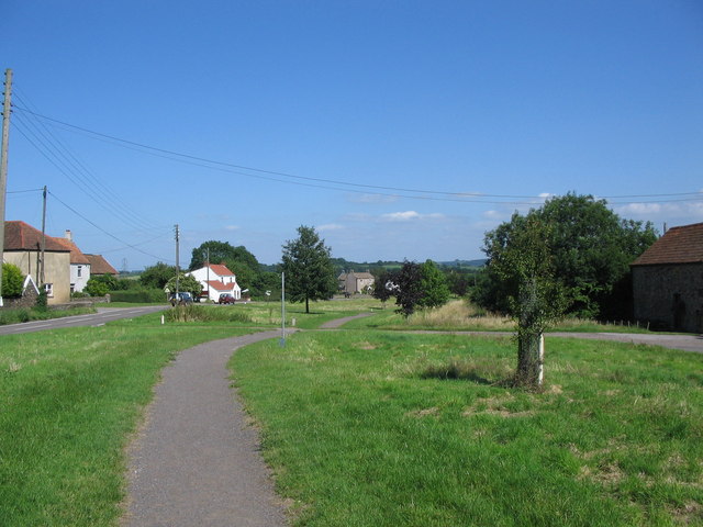
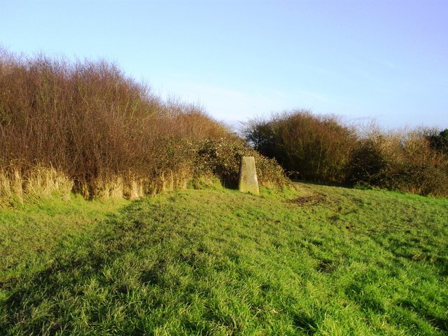
Lantern Bottom is a picturesque valley nestled in the county of Gloucestershire, England. Known for its idyllic charm and natural beauty, this rural area is a popular destination for nature enthusiasts and those seeking tranquility away from the bustling city life.
Situated within the larger village of Gloucestershire, Lantern Bottom is characterized by its rolling hills, lush green meadows, and meandering streams. The valley is flanked by dense woodlands, providing a haven for an array of wildlife species. Rare birds, such as the pied flycatcher and marsh tit, can often be spotted in the area, making it a paradise for birdwatchers.
The landscape of Lantern Bottom is dotted with traditional stone cottages and farmhouses, adding to its timeless appeal. The local community is small and close-knit, with residents often engaging in agricultural activities and farming. This lends a sense of authenticity and rural charm to the area.
For outdoor enthusiasts, Lantern Bottom offers numerous opportunities for exploration. Scenic walking trails wind through the valley and its surroundings, allowing visitors to immerse themselves in the breathtaking scenery. The nearby Cotswold Way also passes through the area, offering longer hikes and panoramic views of the valley.
Lantern Bottom is not only a serene natural retreat but also a gateway to historical sites and attractions. The nearby town of Gloucester boasts a rich history, with its magnificent cathedral and ancient Roman ruins. Visitors can also explore the quaint villages and market towns in the region, each with its own unique character and charm.
In conclusion, Lantern Bottom, Gloucestershire, is a hidden gem offering a perfect blend of natural beauty, rural tranquility, and historical significance. It is a place where visitors can escape the pressures of modern life and immerse themselves in the simplicity and splendor of the English countryside.
If you have any feedback on the listing, please let us know in the comments section below.
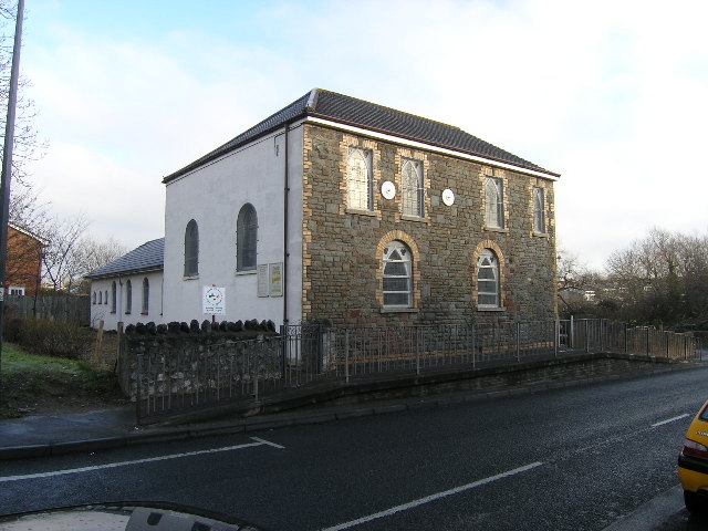
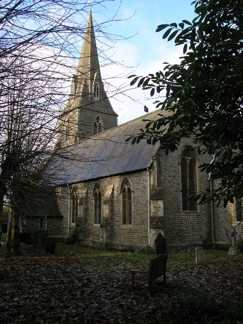
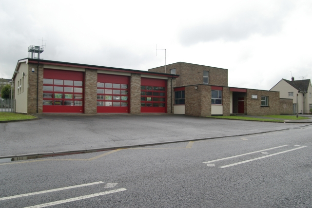
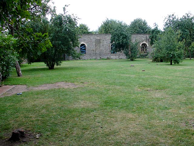
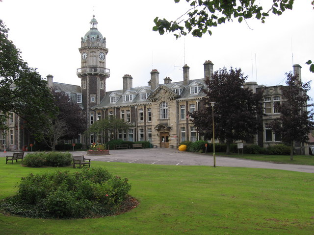
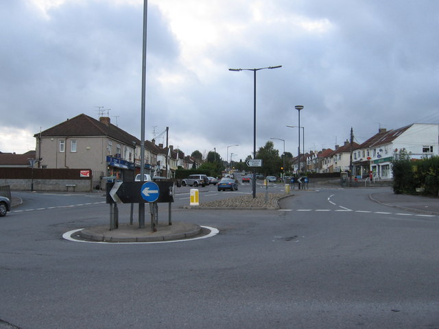
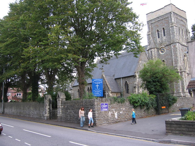
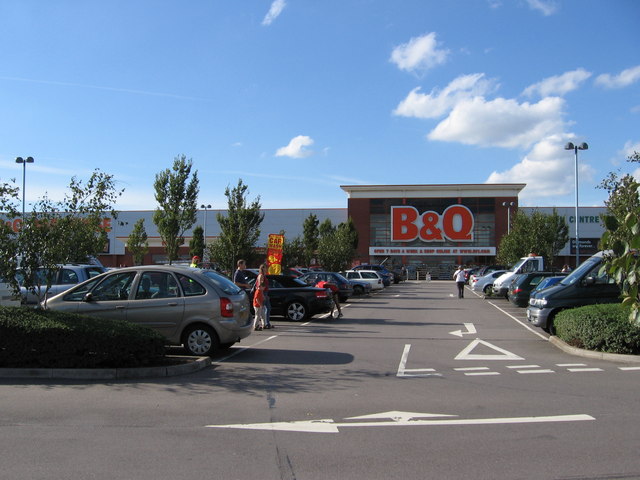
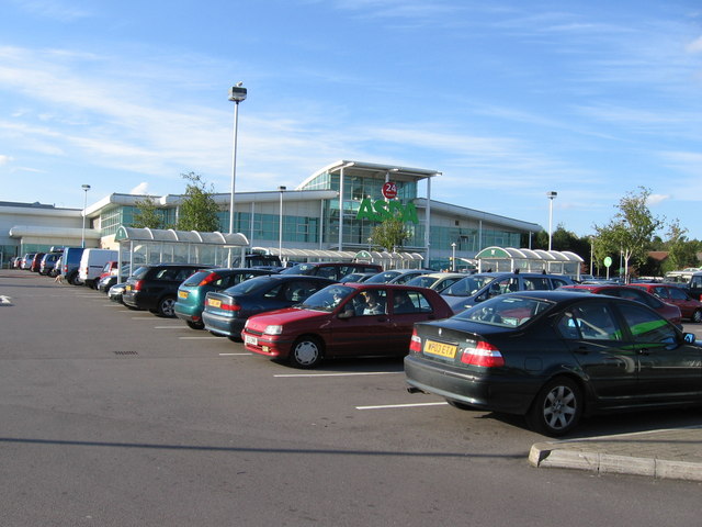
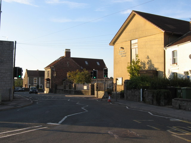
Lantern Bottom Images
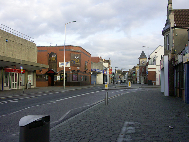
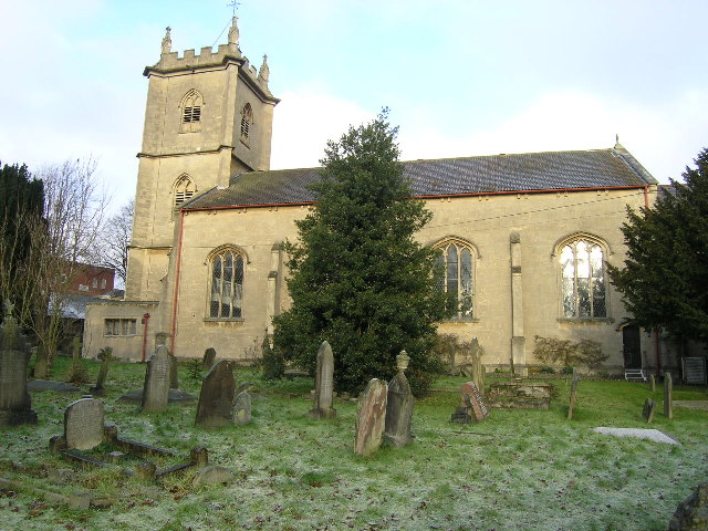
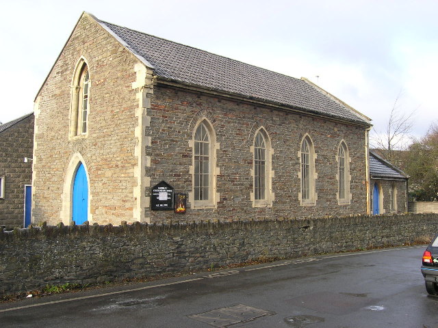
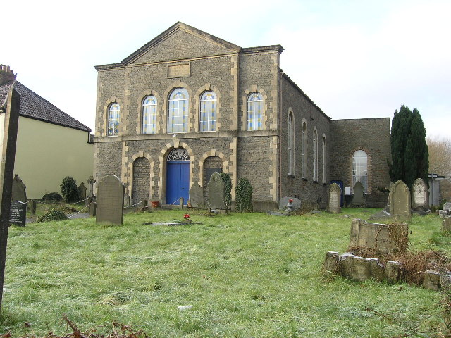
Images are sourced within 2km of 51.459565/-2.4970582 or Grid Reference ST6573. Thanks to Geograph Open Source API. All images are credited.


Lantern Bottom is located at Grid Ref: ST6573 (Lat: 51.459565, Lng: -2.4970582)
Unitary Authority: South Gloucestershire
Police Authority: Avon and Somerset
What 3 Words
///mass.voters.city. Near Kingswood, Gloucestershire
Nearby Locations
Related Wikis
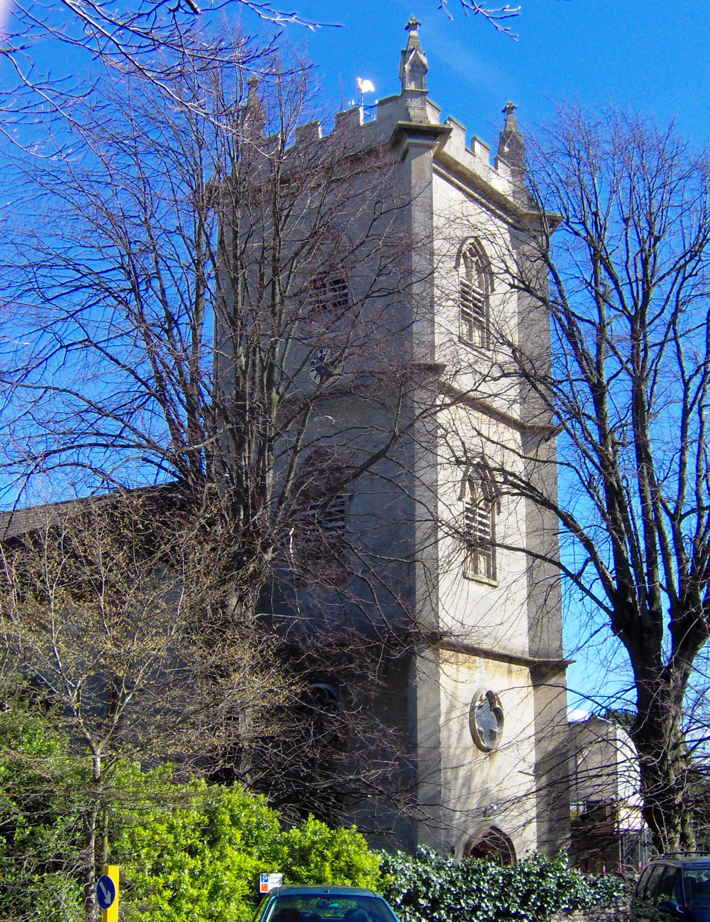
Holy Trinity Church, Kingswood
Holy Trinity Church, Kingswood (grid reference ST651737), is an Anglican parish church in Kingswood, South Gloucestershire, England. It has been designated...

Kingswood (UK Parliament constituency)
Kingswood is a constituency in South Gloucestershire. It is currently represented in the House of Commons of the UK Parliament by Damien Egan of the Labour...

Kingswood, South Gloucestershire
Kingswood is a town and civil parish in the South Gloucestershire district of the ceremonial county of Gloucestershire, England. The town is situated 3...

Kingswood Borough
Kingswood was, from 1974 to 1996, a non-metropolitan district of the County of Avon, England. The district was formed by the Local Government Act 1972...
Nearby Amenities
Located within 500m of 51.459565,-2.4970582Have you been to Lantern Bottom?
Leave your review of Lantern Bottom below (or comments, questions and feedback).