Warmley Hill
Settlement in Gloucestershire
England
Warmley Hill
Warmley Hill is a picturesque village located in the county of Gloucestershire, England. Situated in the South West of the country, it is part of the South Gloucestershire district. Nestled within a rural landscape, Warmley Hill offers a tranquil and idyllic setting for residents and visitors alike.
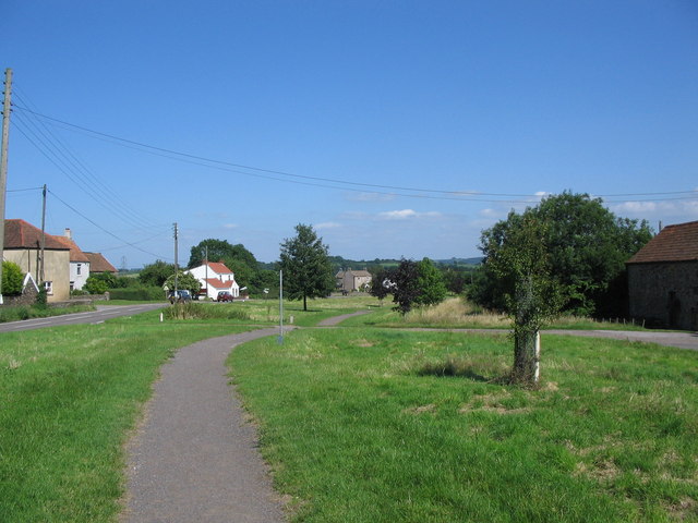
The village is known for its beautiful countryside, with rolling hills and expansive green fields surrounding the area. The landscape is dotted with charming cottages and traditional stone houses, adding to its rural charm. The nearby Warmley Forest Park provides ample opportunities for outdoor activities such as walking, cycling, and picnicking, making it a popular destination for nature enthusiasts.
Despite its rural location, Warmley Hill benefits from excellent transport links. The nearby A4174 ring road connects the village to Bristol, which is just a short drive away. This allows residents to easily access the amenities and employment opportunities of the city, while still enjoying the peacefulness of village life.
Warmley Hill is also home to several community facilities, including a primary school, a church, and a village hall. These facilities play an important role in bringing the community together and hosting various events throughout the year.
Overall, Warmley Hill offers a charming and picturesque setting, with its beautiful countryside, convenient location, and close-knit community. It is an ideal place for those seeking a peaceful and rural lifestyle, while still having access to the amenities of nearby urban areas.
If you have any feedback on the listing, please let us know in the comments section below.
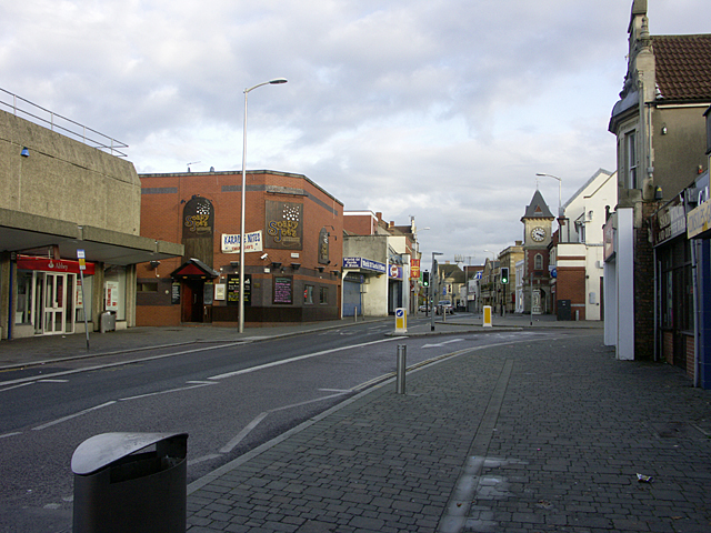
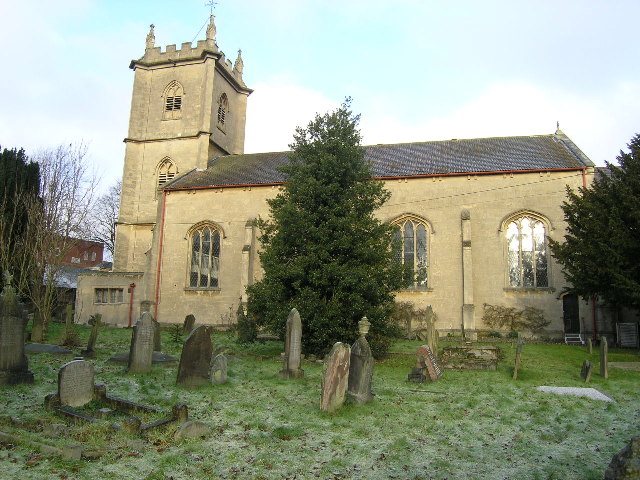
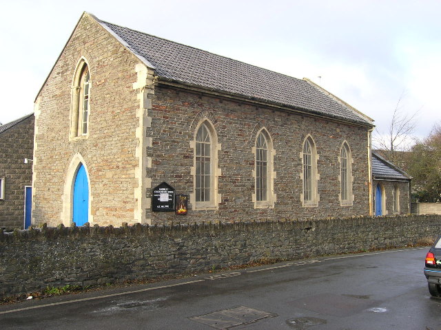
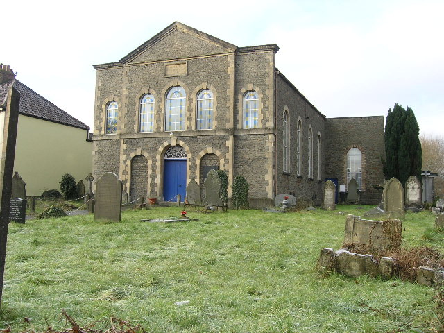
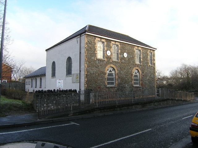
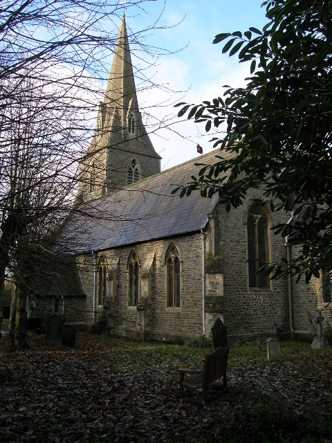
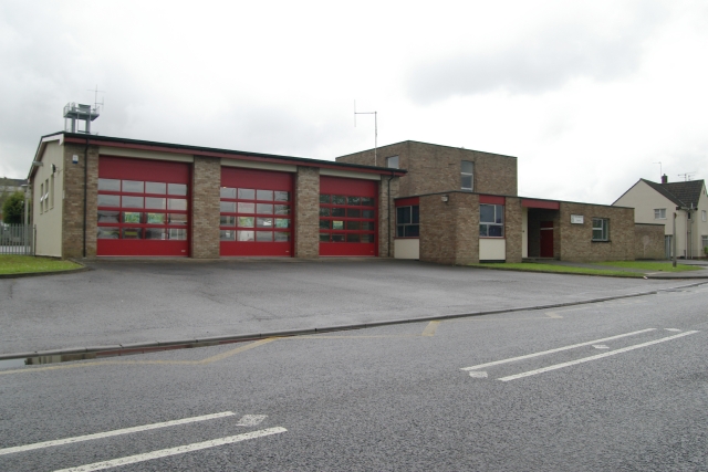
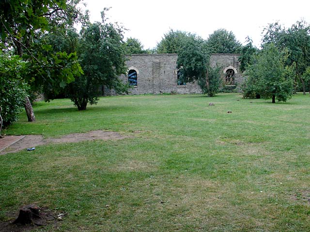
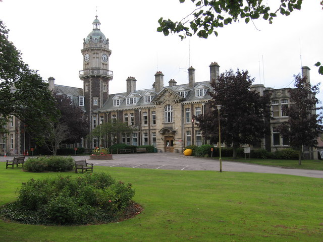
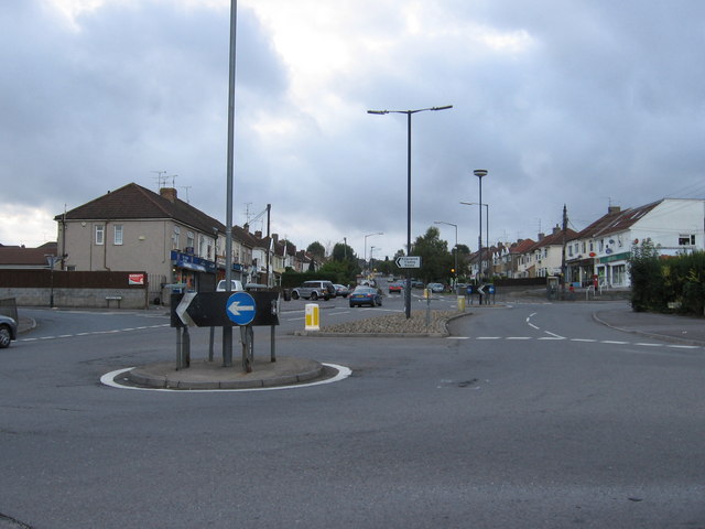
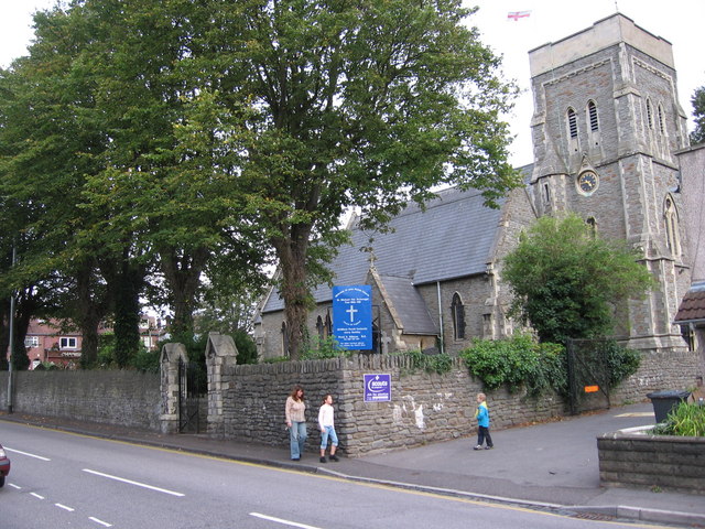
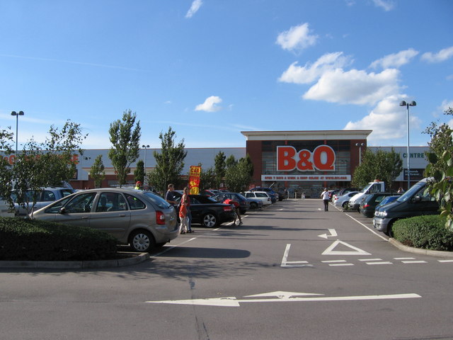
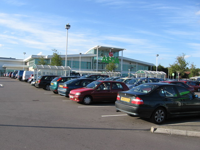
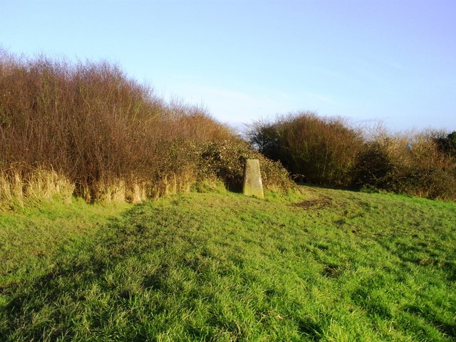
Warmley Hill Images
Images are sourced within 2km of 51.460821/-2.494408 or Grid Reference ST6573. Thanks to Geograph Open Source API. All images are credited.


Warmley Hill is located at Grid Ref: ST6573 (Lat: 51.460821, Lng: -2.494408)
Unitary Authority: South Gloucestershire
Police Authority: Avon and Somerset
What 3 Words
///sung.puddles.reef. Near Kingswood, Gloucestershire
Nearby Locations
Related Wikis
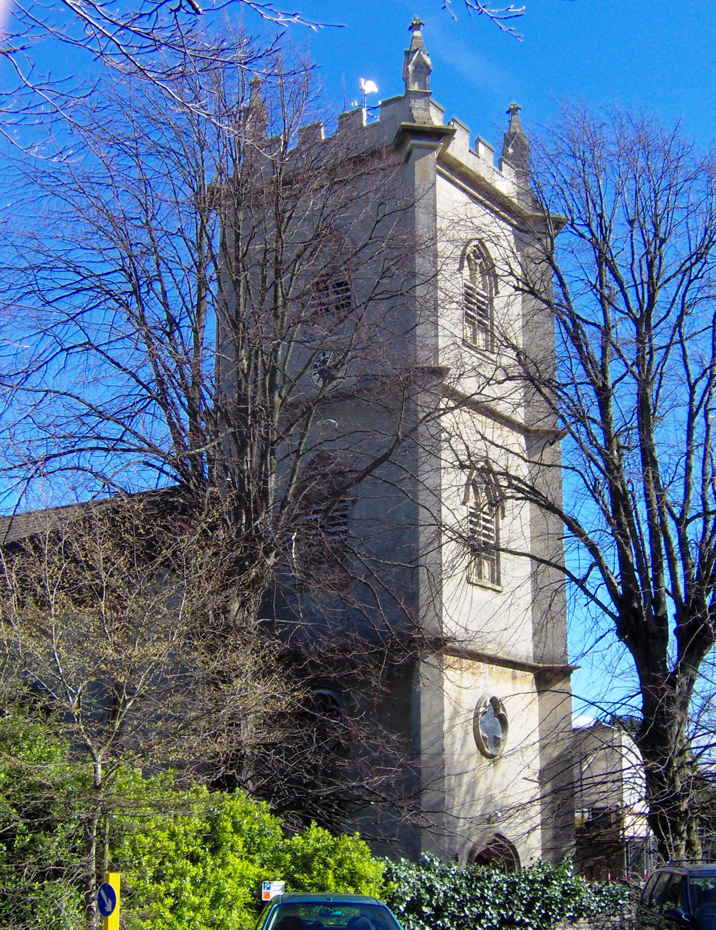
Holy Trinity Church, Kingswood
Holy Trinity Church, Kingswood (grid reference ST651737), is an Anglican parish church in Kingswood, South Gloucestershire, England. It has been designated...

Kingswood (UK Parliament constituency)
Kingswood is a constituency in South Gloucestershire. It is currently represented in the House of Commons of the UK Parliament by Damien Egan of the Labour...

Kingswood Borough
Kingswood was, from 1974 to 1996, a non-metropolitan district of the County of Avon, England. The district was formed by the Local Government Act 1972...

King's Oak Academy
King's Oak Academy, formerly Kingsfield School and Kingswood Grammar School, is a Mathematics and Computing College located in Kingswood in Bristol, England...
Nearby Amenities
Located within 500m of 51.460821,-2.494408Have you been to Warmley Hill?
Leave your review of Warmley Hill below (or comments, questions and feedback).