Folds Clough
Valley in Yorkshire Ribble Valley
England
Folds Clough
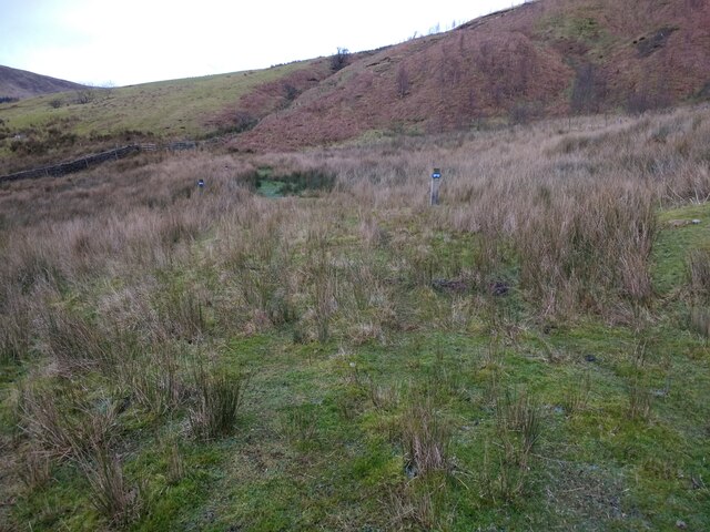
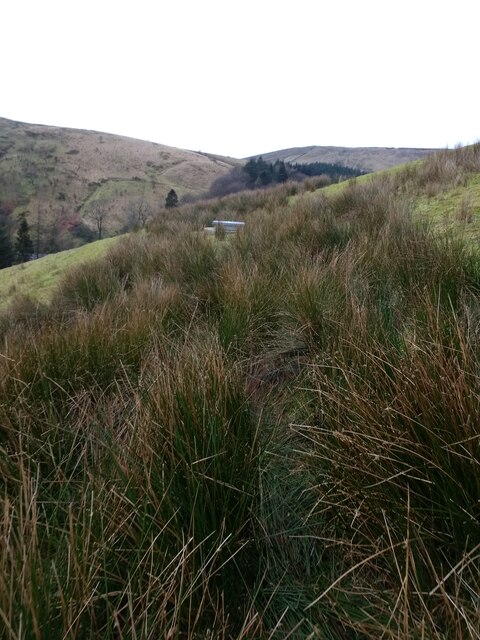
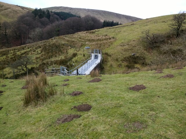
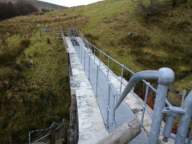
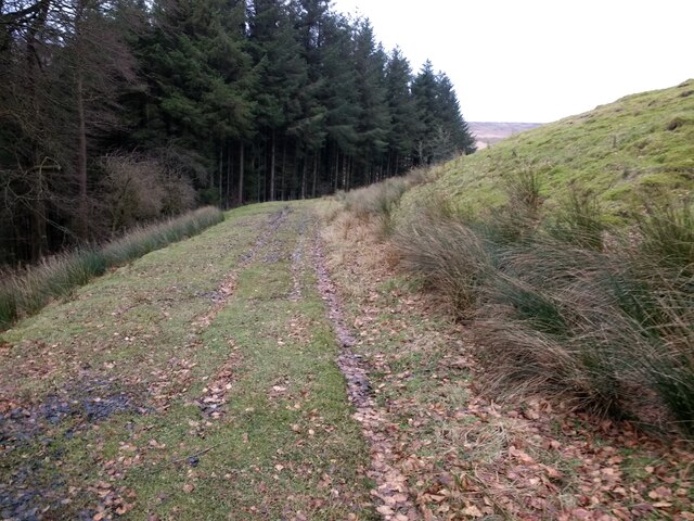
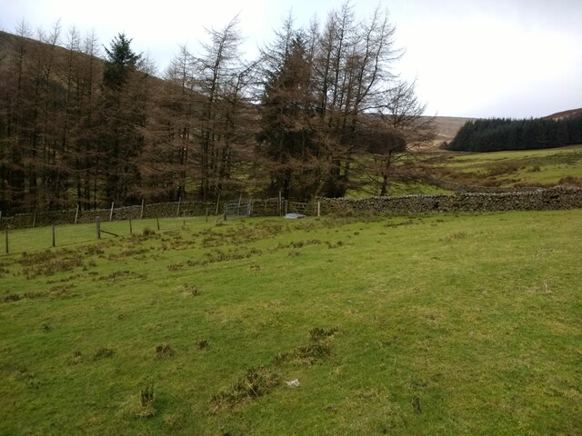
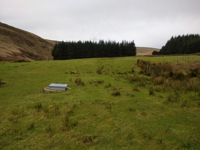
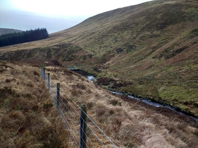
Folds Clough is a picturesque valley located in the county of Yorkshire, England. Nestled amidst the stunning scenery of the Pennines, this valley is a haven for nature enthusiasts and avid hikers alike. The valley stretches for approximately three miles, offering a diverse range of landscapes and habitats.
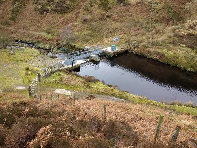
At the heart of Folds Clough lies a meandering river, which flows gently through the valley, adding to its natural beauty. The river is flanked by lush green meadows, where wildflowers bloom during the spring and summer months, creating a vibrant and colorful landscape. The valley is also home to a variety of trees, including oak, beech, and birch, which provide shelter and shade for the abundant wildlife that inhabits the area.
Folds Clough boasts an impressive array of wildlife, making it a popular spot for birdwatching and animal spotting. Visitors may encounter a range of bird species, such as kingfishers, herons, and buzzards, soaring through the skies or perched on the branches of trees. Mammals, including foxes, badgers, and deer, can also be spotted within the valley, particularly during the early morning or late evening hours.
For outdoor enthusiasts, Folds Clough offers numerous hiking trails that wind through the valley, providing breathtaking views of the surrounding countryside. The trails vary in difficulty, catering to both experienced hikers and beginners. Along the way, visitors can enjoy the tranquility of the valley, listening to the soothing sounds of the river and immersing themselves in the natural splendor of Yorkshire's countryside.
In conclusion, Folds Clough is a captivating valley in Yorkshire, offering visitors a chance to explore and appreciate the beauty of nature. Its diverse landscapes, abundant wildlife, and scenic hiking trails make it a must-visit destination for nature lovers and outdoor enthusiasts.
If you have any feedback on the listing, please let us know in the comments section below.
Folds Clough Images
Images are sourced within 2km of 54.005485/-2.532122 or Grid Reference SD6556. Thanks to Geograph Open Source API. All images are credited.


Folds Clough is located at Grid Ref: SD6556 (Lat: 54.005485, Lng: -2.532122)
Division: West Riding
Administrative County: Lancashire
District: Ribble Valley
Police Authority: Lancashire
What 3 Words
///texted.thousands.blemishes. Near High Bentham, North Yorkshire
Nearby Locations
Related Wikis

Brennand Farm
Brennand Farm is often claimed to be the true centre of Great Britain. This is about seven kilometres north-west of Dunsop Bridge - which has the nearest...

Geography of the United Kingdom
The United Kingdom is a sovereign state located off the north-western coast of continental Europe. With a total area of approximately 248,532 square kilometres...

Wolfhole Crag
Wolfhole Crag is an isolated and seldom-visited hill in the Forest of Bowland in Lancashire, England. Its seclusion is due in part to its low profile and...

White Hill (Forest of Bowland)
White Hill is a hill in the Forest of Bowland, north-western England. It lies between Slaidburn and High Bentham. The summit houses a tower and a trig...
Nearby Amenities
Located within 500m of 54.005485,-2.532122Have you been to Folds Clough?
Leave your review of Folds Clough below (or comments, questions and feedback).