Gutter Clough
Valley in Yorkshire Ribble Valley
England
Gutter Clough
Gutter Clough is a picturesque valley located in the county of Yorkshire, England. Nestled within the stunning landscape of the Pennines, this hidden gem boasts breathtaking natural beauty and a rich history.
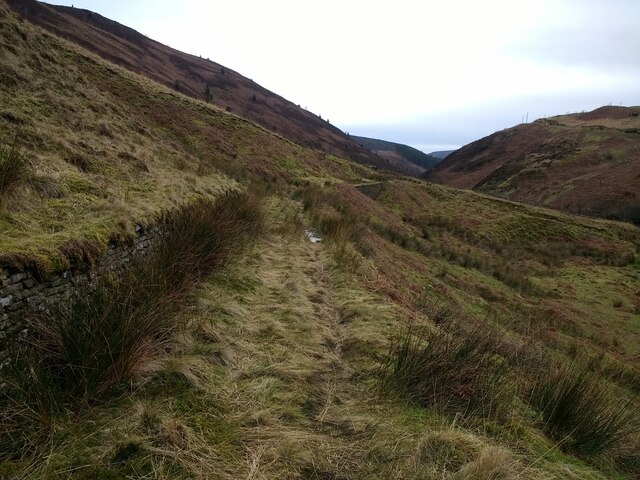
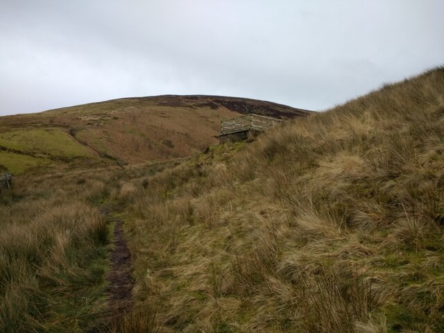
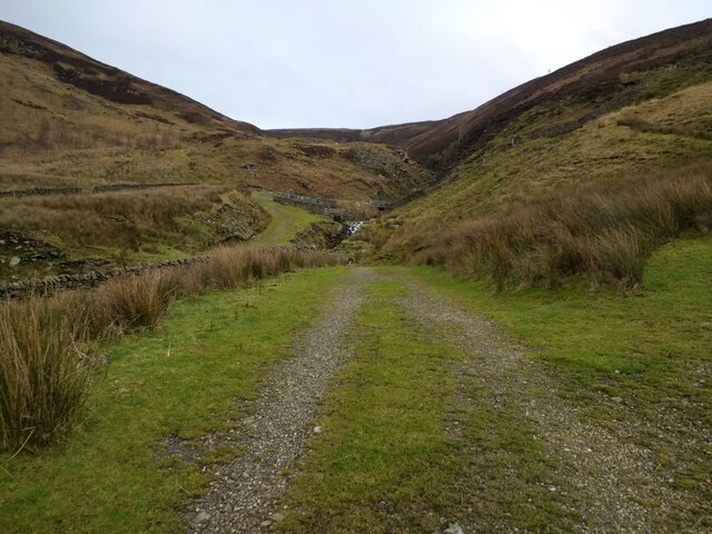
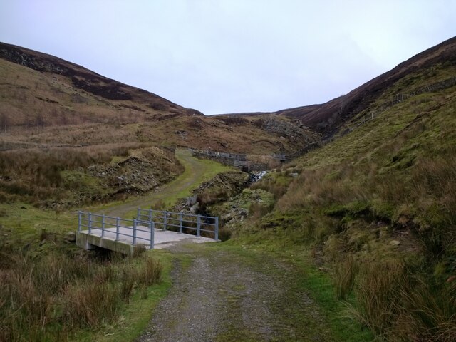
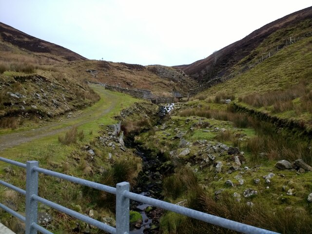
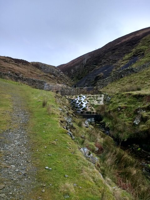
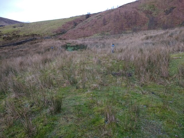
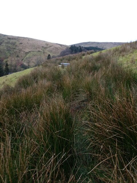
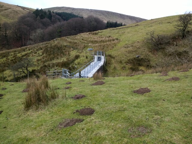
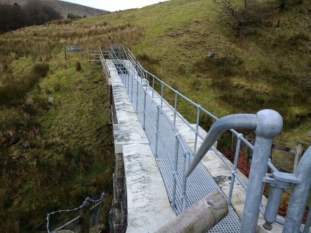
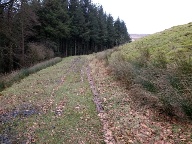
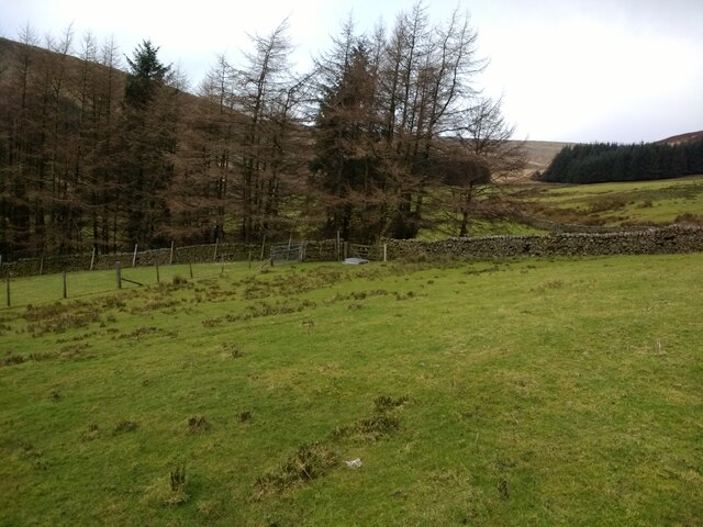
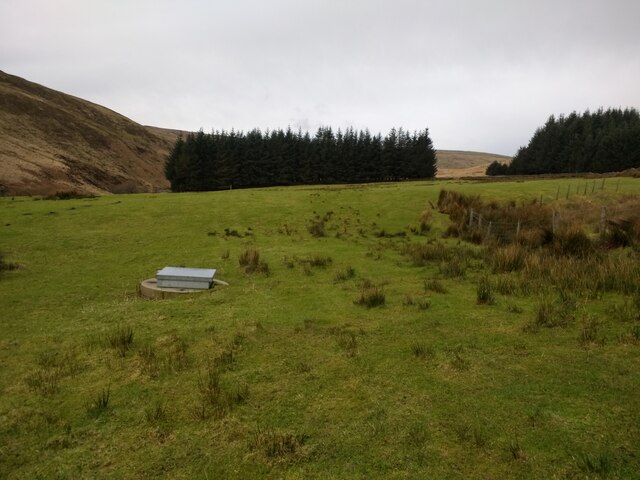
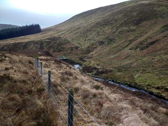
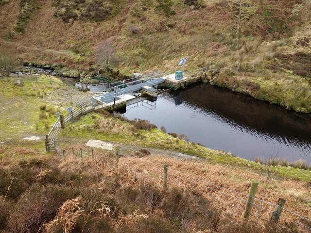
The valley is characterized by its lush greenery, rolling hills, and meandering streams, which create a tranquil and idyllic atmosphere. It is a haven for nature enthusiasts, offering a wide array of flora and fauna to explore. The valley is home to diverse wildlife, including rare bird species, mammals, and various plants.
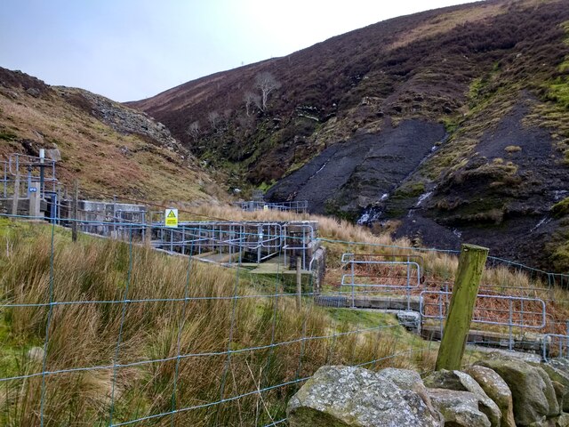
Gutter Clough has a long and fascinating history, with evidence of human habitation dating back to prehistoric times. The valley was once a site of agricultural activity during the Iron Age, and remnants of ancient settlements can still be found in the area.
Visitors to Gutter Clough can enjoy a range of recreational activities, such as hiking, cycling, and birdwatching. There are numerous well-marked trails and paths that cater to all levels of fitness and experience, allowing visitors to immerse themselves in the stunning surroundings.
Additionally, the valley is dotted with charming villages and hamlets that offer a glimpse into the traditional rural life of Yorkshire. Visitors can explore quaint stone cottages, historic churches, and local shops that sell regional produce and crafts.
Gutter Clough truly encapsulates the natural beauty and rich heritage that Yorkshire has to offer, making it a must-visit destination for those seeking tranquility and an escape from the hustle and bustle of modern life.
If you have any feedback on the listing, please let us know in the comments section below.
Gutter Clough Images
Images are sourced within 2km of 54.000154/-2.5346474 or Grid Reference SD6556. Thanks to Geograph Open Source API. All images are credited.


Gutter Clough is located at Grid Ref: SD6556 (Lat: 54.000154, Lng: -2.5346474)
Division: West Riding
Administrative County: Lancashire
District: Ribble Valley
Police Authority: Lancashire
What 3 Words
///exist.fanfare.producing. Near High Bentham, North Yorkshire
Nearby Locations
Related Wikis

Brennand Farm
Brennand Farm is often claimed to be the true centre of Great Britain. This is about seven kilometres north-west of Dunsop Bridge - which has the nearest...

Geography of the United Kingdom
The United Kingdom is a sovereign state located off the north-western coast of continental Europe. With a total area of approximately 248,532 square kilometres...

Wolfhole Crag
Wolfhole Crag is an isolated and seldom-visited hill in the Forest of Bowland in Lancashire, England. Its seclusion is due in part to its low profile and...

White Hill (Forest of Bowland)
White Hill is a hill in the Forest of Bowland, north-western England. It lies between Slaidburn and High Bentham. The summit houses a tower and a trig...
Nearby Amenities
Located within 500m of 54.000154,-2.5346474Have you been to Gutter Clough?
Leave your review of Gutter Clough below (or comments, questions and feedback).