Far Pasture Clough
Valley in Yorkshire Ribble Valley
England
Far Pasture Clough
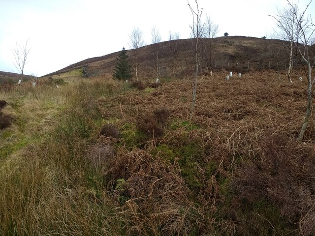
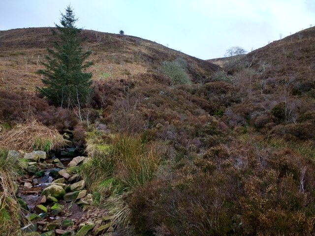
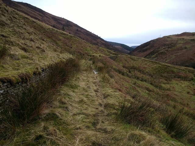
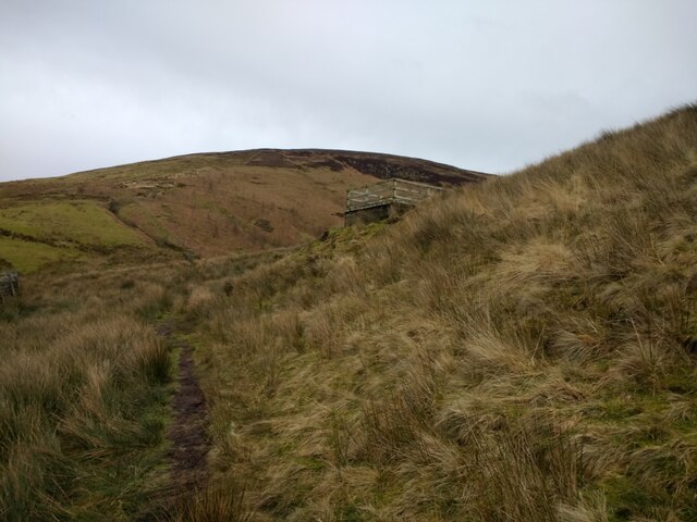
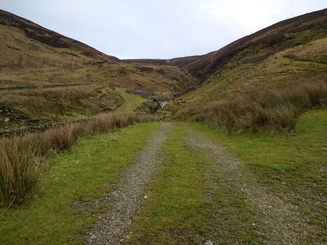
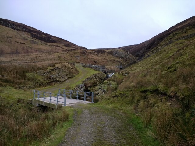
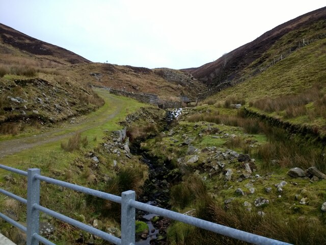
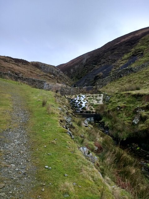
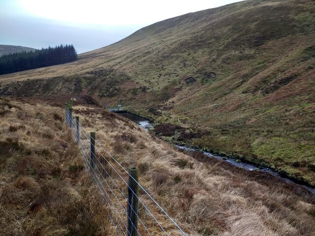
Far Pasture Clough is a picturesque valley located in Yorkshire, England. Nestled within the rugged beauty of the Pennines, this valley is renowned for its stunning landscapes and rich biodiversity. Covering an area of approximately 10 square kilometers, Far Pasture Clough offers a diverse range of natural habitats including woodlands, meadows, and wetlands.
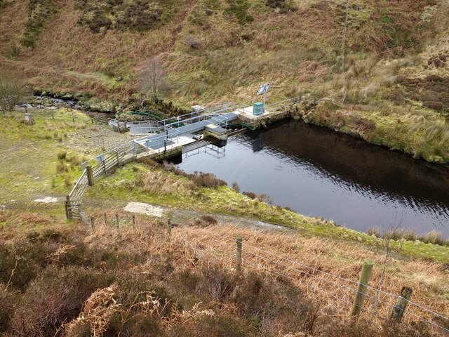
The valley is characterized by its steep-sided slopes, which are adorned with a tapestry of vibrant wildflowers during the spring and summer months. The crystal-clear waters of the River Clough meander through the valley, providing a lifeline for the abundant wildlife that calls this area home. Visitors to Far Pasture Clough may be lucky enough to spot a variety of bird species, including the elusive kingfisher or the majestic buzzard soaring overhead.
For nature enthusiasts, the valley offers a myriad of walking trails, allowing visitors to immerse themselves in the tranquility of the surrounding countryside. The diverse range of flora and fauna makes it an ideal location for wildlife photography and nature observation. Additionally, the valley is dotted with several picnic spots, providing the perfect setting for a leisurely lunch amidst the beauty of nature.
Far Pasture Clough is also steeped in history, with remnants of ancient settlements and stone circles scattered throughout the area. Archaeological enthusiasts can explore these historical sites, gaining insight into the lives of those who once inhabited this captivating valley.
Overall, Far Pasture Clough is a hidden gem, offering a haven of natural beauty and serenity for visitors to enjoy and appreciate the wonders of Yorkshire's countryside.
If you have any feedback on the listing, please let us know in the comments section below.
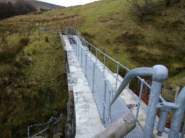
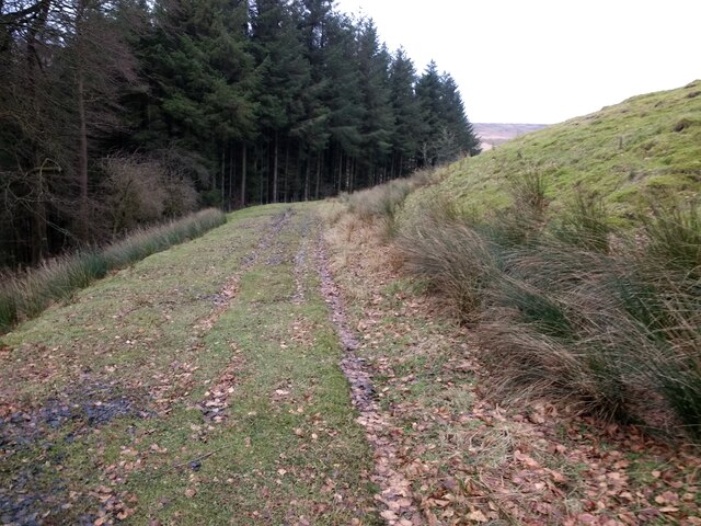
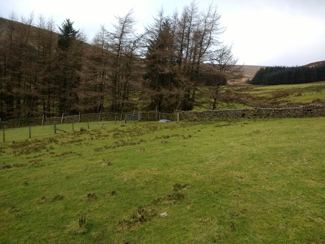
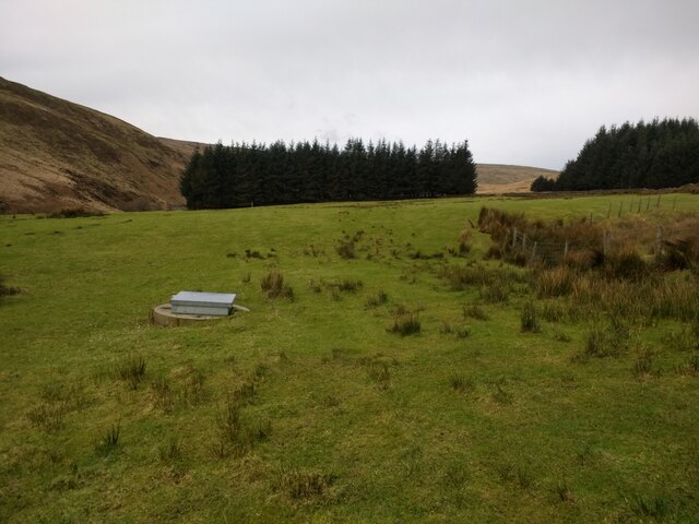
Far Pasture Clough Images
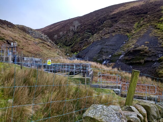
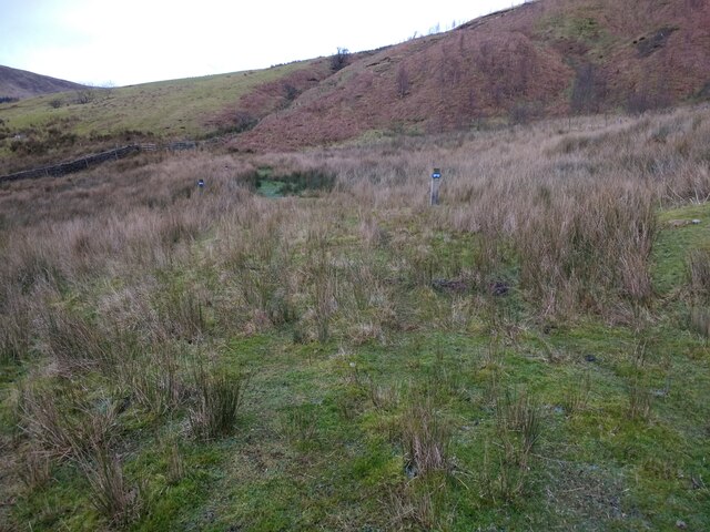
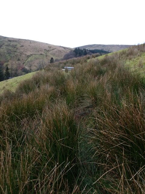
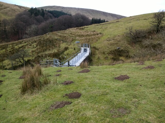
Images are sourced within 2km of 53.986008/-2.5403833 or Grid Reference SD6454. Thanks to Geograph Open Source API. All images are credited.
Far Pasture Clough is located at Grid Ref: SD6454 (Lat: 53.986008, Lng: -2.5403833)
Division: West Riding
Administrative County: Lancashire
District: Ribble Valley
Police Authority: Lancashire
What 3 Words
///crackles.playfully.outlooks. Near Waddington, Lancashire
Nearby Locations
Related Wikis

Brennand Farm
Brennand Farm is often claimed to be the true centre of Great Britain. This is about seven kilometres north-west of Dunsop Bridge - which has the nearest...

Trough of Bowland
The Trough of Bowland is a valley and high pass in the Forest of Bowland Area of Outstanding Natural Beauty, Lancashire, England. The pass, reaching 968...

Grey Stone of Trough
The Grey Stone of Trough is an historic boundary marker in Bowland Forest High, in the Trough of Bowland, Lancashire, England. A Grade II listed structure...

Geography of the United Kingdom
The United Kingdom is a sovereign state located off the north-western coast of continental Europe. With a total area of approximately 248,532 square kilometres...
Nearby Amenities
Located within 500m of 53.986008,-2.5403833Have you been to Far Pasture Clough?
Leave your review of Far Pasture Clough below (or comments, questions and feedback).