Far Pasture
Downs, Moorland in Yorkshire Ribble Valley
England
Far Pasture
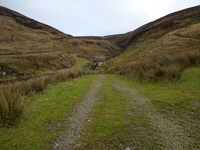
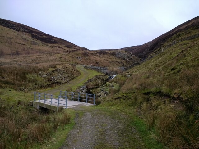
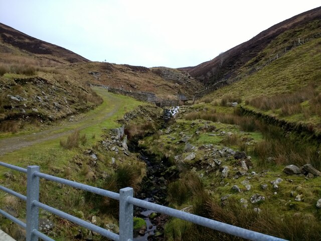
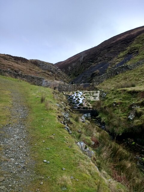
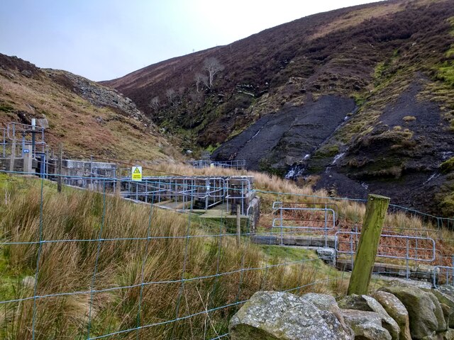
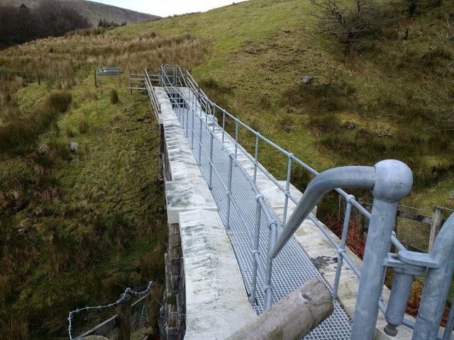
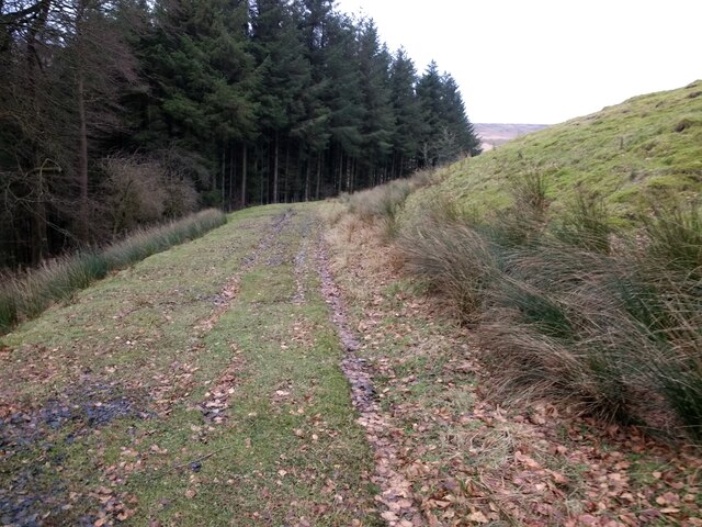
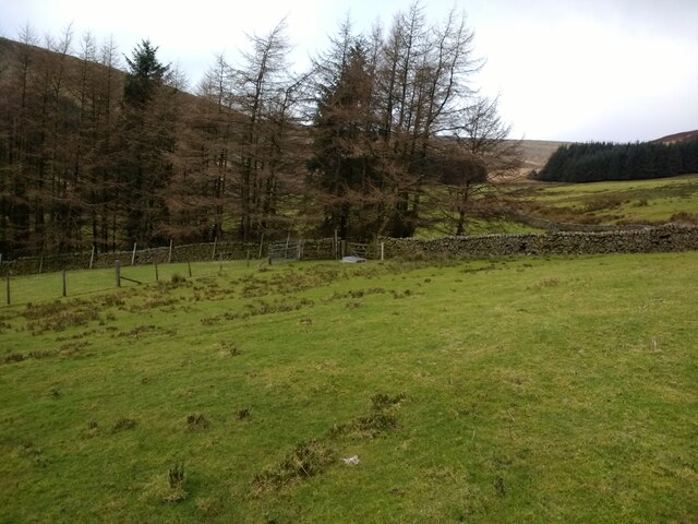
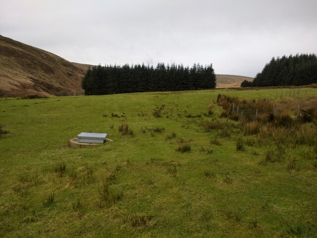
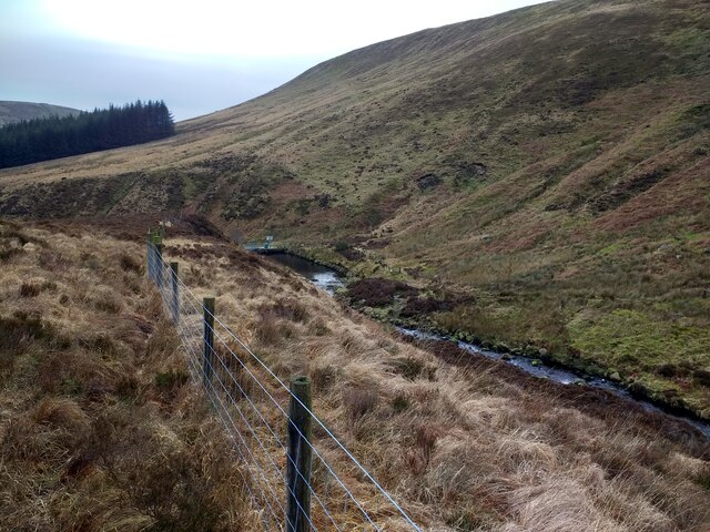
Far Pasture is a picturesque area located in Yorkshire, England, renowned for its breathtaking natural beauty and diverse landscapes. Situated in the heart of the county, Far Pasture encompasses a combination of downs, moorland, and rolling hills, making it a haven for nature enthusiasts and outdoor adventurers alike.
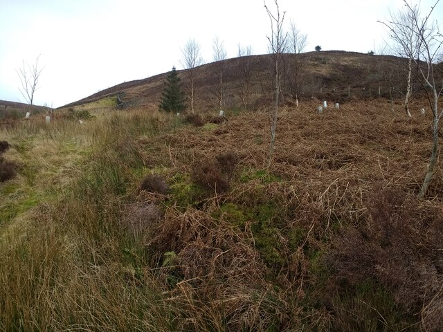
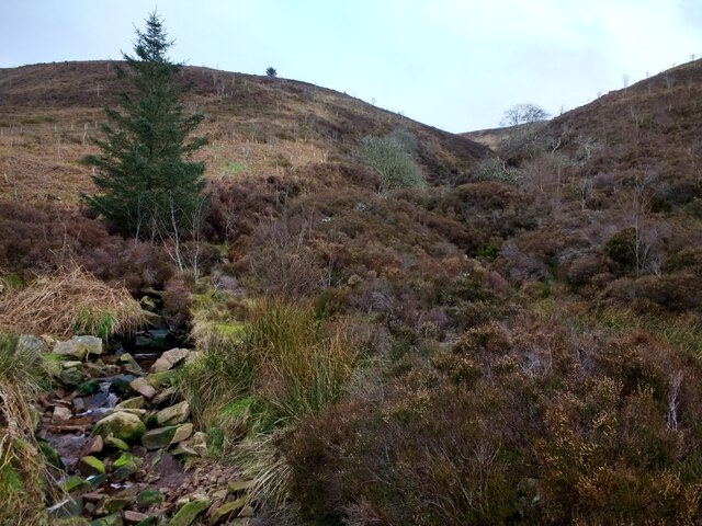
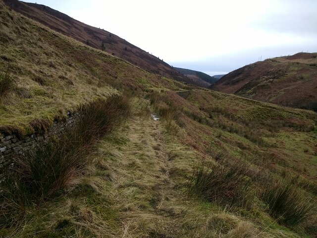
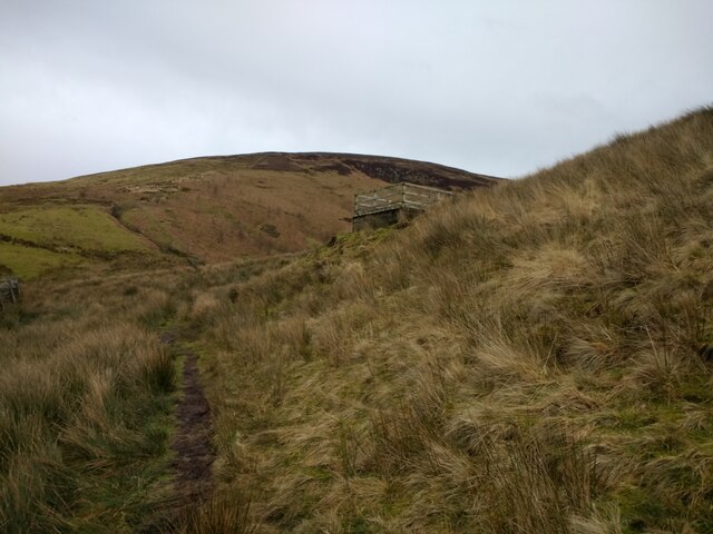
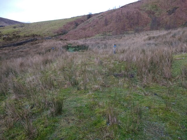
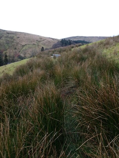
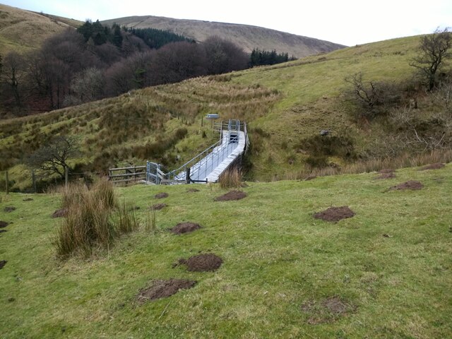
The downs of Far Pasture are characterized by their gently sloping grassy hills, offering panoramic views of the surrounding countryside. Visitors can enjoy leisurely walks or challenging hikes across these expansive downs, taking in the stunning vistas and the abundance of wildlife that call this area home.
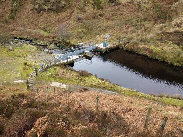
The moorland in Far Pasture is a sight to behold. With its vast expanse of heather-covered hills, it transforms into a sea of vibrant purple hues during the summer months. Moorland walks allow visitors to immerse themselves in the tranquility of this unique landscape, while also providing opportunities for birdwatching and discovering rare plant species.
In addition to its natural beauty, Far Pasture boasts a rich history. The area is dotted with ancient archaeological sites, including burial mounds, stone circles, and remnants of Iron Age settlements. These historic landmarks offer a glimpse into the region's fascinating past and provide a sense of connection to the people who inhabited this area centuries ago.
For those seeking a peaceful retreat in the heart of nature, Far Pasture in Yorkshire is a must-visit destination. Its stunning downs, moorland, and rich history make it a truly captivating location that showcases the beauty and diversity of the English countryside.
If you have any feedback on the listing, please let us know in the comments section below.
Far Pasture Images
Images are sourced within 2km of 53.988592/-2.5374885 or Grid Reference SD6454. Thanks to Geograph Open Source API. All images are credited.
Far Pasture is located at Grid Ref: SD6454 (Lat: 53.988592, Lng: -2.5374885)
Division: West Riding
Administrative County: Lancashire
District: Ribble Valley
Police Authority: Lancashire
What 3 Words
///creeps.dollar.valuables. Near Waddington, Lancashire
Nearby Locations
Related Wikis

Brennand Farm
Brennand Farm is often claimed to be the true centre of Great Britain. This is about seven kilometres north-west of Dunsop Bridge - which has the nearest...

Geography of the United Kingdom
The United Kingdom is a sovereign state located off the north-western coast of continental Europe. With a total area of approximately 248,532 square kilometres...

Trough of Bowland
The Trough of Bowland is a valley and high pass in the Forest of Bowland Area of Outstanding Natural Beauty, Lancashire, England. The pass, reaching 968...

Grey Stone of Trough
The Grey Stone of Trough is an historic boundary marker in Bowland Forest High, in the Trough of Bowland, Lancashire, England. A Grade II listed structure...

Wolfhole Crag
Wolfhole Crag is an isolated and seldom-visited hill in the Forest of Bowland in Lancashire, England. Its seclusion is due in part to its low profile and...

Sykes Smelt Mill
Sykes Smelt Mill was a mediaeval mill located between Sykes and Hareden in Bowland Forest High, Lancashire, England. It stood on the banks of Langden Brook...

White Hill (Forest of Bowland)
White Hill is a hill in the Forest of Bowland, north-western England. It lies between Slaidburn and High Bentham. The summit houses a tower and a trig...

Bowland Forest High
Bowland Forest High is a civil parish in the Ribble Valley district of Lancashire, England, covering some 20,000 acres (80 km2) of the Forest of Bowland...
Nearby Amenities
Located within 500m of 53.988592,-2.5374885Have you been to Far Pasture?
Leave your review of Far Pasture below (or comments, questions and feedback).