Dryster Clough
Valley in Yorkshire Ribble Valley
England
Dryster Clough
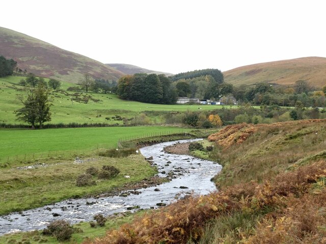
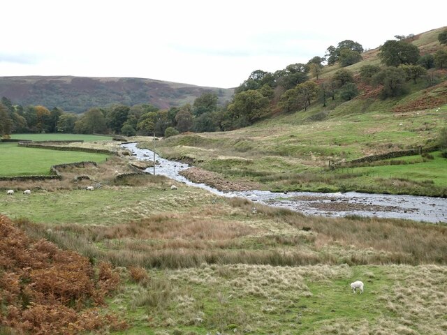
Dryster Clough is a picturesque valley located in the county of Yorkshire, England. Nestled within the beautiful landscape of the Peak District National Park, it is renowned for its stunning natural scenery and tranquil atmosphere.
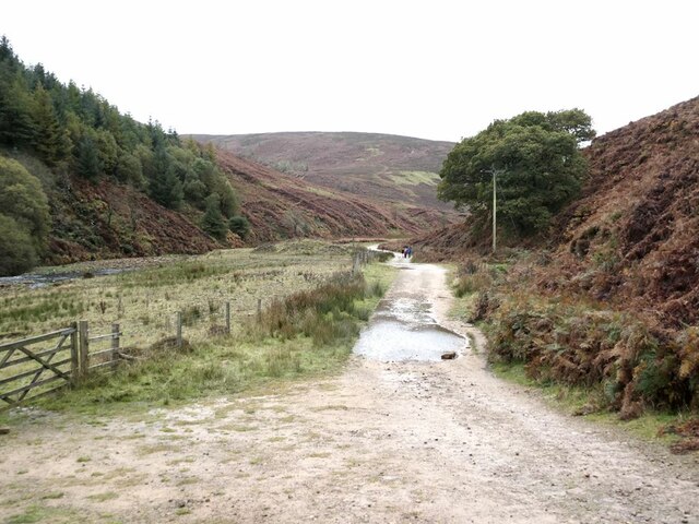
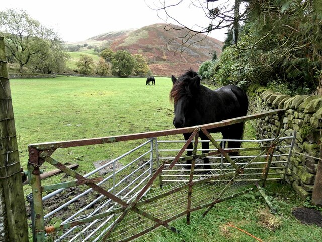
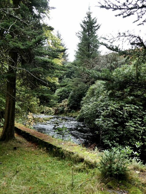
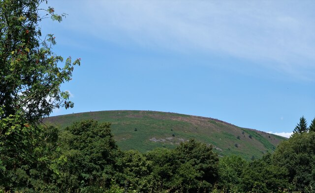
The valley is characterized by its steep-sided slopes and lush greenery, which is dotted with charming meadows, rocky outcrops, and meandering streams. The Clough is home to a diverse range of plant and animal species, making it a popular destination for nature lovers and wildlife enthusiasts.
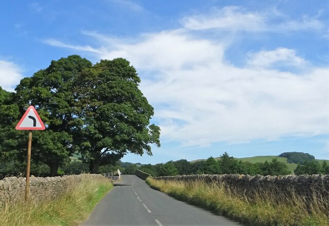
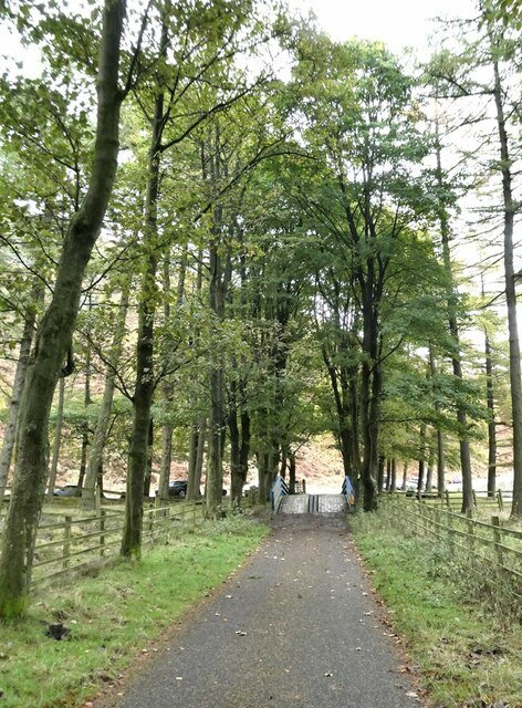
Dryster Clough offers a variety of recreational activities for visitors to enjoy. Hiking and walking trails crisscross the valley, providing opportunities to explore its scenic beauty and discover hidden gems along the way. The terrain is suitable for all levels of fitness, with routes ranging from gentle strolls to more challenging hikes.
The Clough is also well-known for its rock climbing opportunities, attracting climbers from near and far. Its craggy cliffs and rocky faces provide ample challenges for both beginners and experienced climbers, with routes suitable for various skill levels.
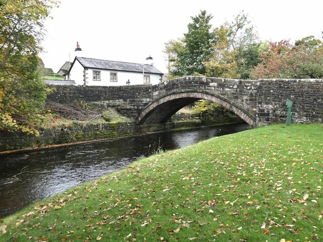
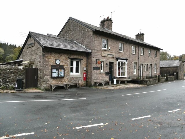
In addition to its natural attractions, Dryster Clough boasts a rich cultural heritage. The valley is home to several historic landmarks, including old farmhouses, stone bridges, and remnants of industrial heritage from the region's mining past.
Overall, Dryster Clough is a tranquil and picturesque valley in Yorkshire, offering a range of outdoor activities, stunning natural beauty, and a glimpse into the area's history. It is a must-visit destination for nature enthusiasts and those seeking a peaceful escape in the heart of the Peak District.
If you have any feedback on the listing, please let us know in the comments section below.
Dryster Clough Images
Images are sourced within 2km of 53.952161/-2.5400368 or Grid Reference SD6450. Thanks to Geograph Open Source API. All images are credited.
Dryster Clough is located at Grid Ref: SD6450 (Lat: 53.952161, Lng: -2.5400368)
Division: West Riding
Administrative County: Lancashire
District: Ribble Valley
Police Authority: Lancashire
What 3 Words
///cherish.rooster.picnic. Near Waddington, Lancashire
Nearby Locations
Related Wikis

Sykes Smelt Mill
Sykes Smelt Mill was a mediaeval mill located between Sykes and Hareden in Bowland Forest High, Lancashire, England. It stood on the banks of Langden Brook...

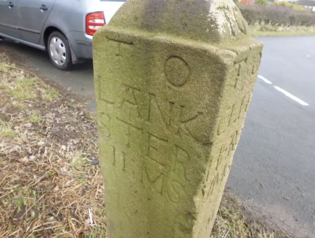
Bowland Forest High milestone
The Bowland Forest High milestone is an historic milestone marker in the English parish of Bowland Forest High, in the Trough of Bowland, Lancashire. A...

Bowland Forest High
Bowland Forest High is a civil parish in the Ribble Valley district of Lancashire, England, covering some 20,000 acres (80 km2) of the Forest of Bowland...

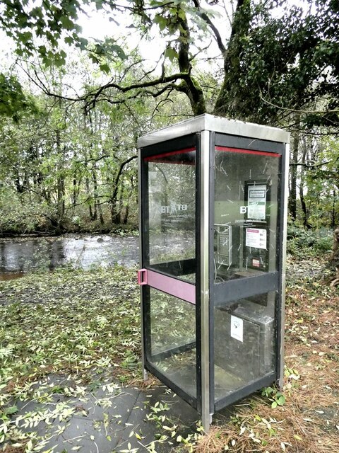
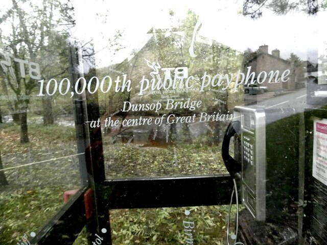
Dunsop Bridge
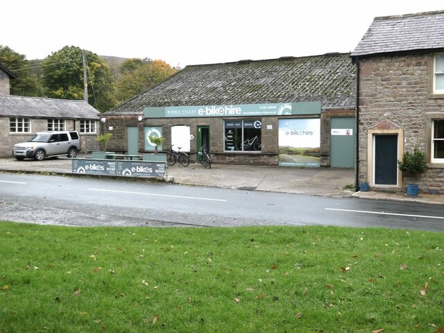
Dunsop Bridge is a village in the civil parish of Bowland Forest High, in the borough of Ribble Valley, Lancashire, England, 9 miles (14 km) north-west...

Dunsop Bridge (structure)
Dunsop Bridge is a bridge in the English village of the same name. The structure, which dates to the early 19th century, crosses the River Dunsop. A Grade...

River Dunsop
The River Dunsop is a river in the Forest of Bowland in Northern England. It flows into the River Hodder at Dunsop Bridge.It begins at the confluence of...

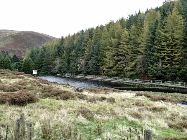
Langden Brook
Langden Brook is a watercourse in the Trough of Bowland, Lancashire, England. A tributary of the River Hodder, its source is near the summit of Hawthornthwaite...

Trough of Bowland
The Trough of Bowland is a valley and high pass in the Forest of Bowland Area of Outstanding Natural Beauty, Lancashire, England. The pass, reaching 968...
Nearby Amenities
Located within 500m of 53.952161,-2.5400368Have you been to Dryster Clough?
Leave your review of Dryster Clough below (or comments, questions and feedback).