Birches Dingle
Valley in Gloucestershire Forest of Dean
England
Birches Dingle
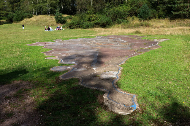
Birches Dingle is a picturesque valley located in Gloucestershire, England. Nestled amidst the rolling hills of the Cotswolds, this idyllic landscape offers a tranquil escape from the bustling city life. The name "Birches Dingle" is derived from the abundance of birch trees that line the valley, creating a striking visual spectacle during the autumn season when their leaves turn a vibrant golden hue.
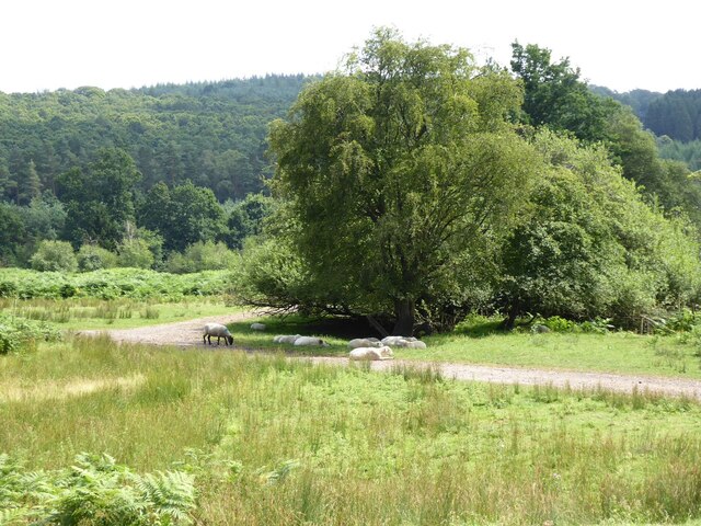
The valley is renowned for its natural beauty, with a meandering stream flowing through it, adding to its charm. The crystal-clear waters of the stream provide a habitat for various aquatic species, making it a popular spot for nature enthusiasts and birdwatchers. The valley is also home to a diverse range of flora and fauna, including wildflowers, mosses, and ferns, making it an ideal destination for hikers and botany enthusiasts.
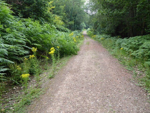
Birches Dingle offers numerous walking trails, allowing visitors to explore the valley at their own pace. These trails offer breathtaking views of the surrounding countryside, with rolling meadows and distant hills providing a stunning backdrop. The valley is also a popular spot for picnickers, as there are several designated areas with benches and tables where visitors can enjoy a leisurely meal while taking in the beauty of their surroundings.
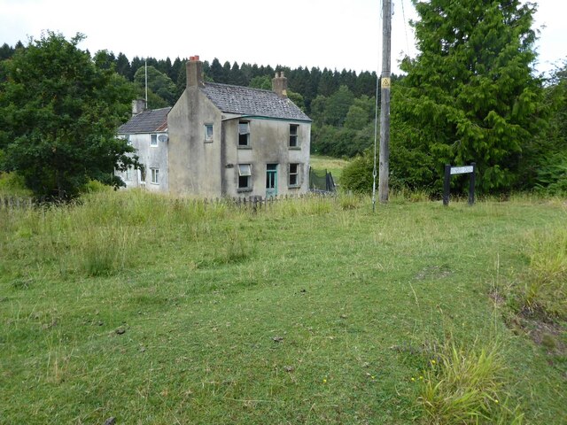
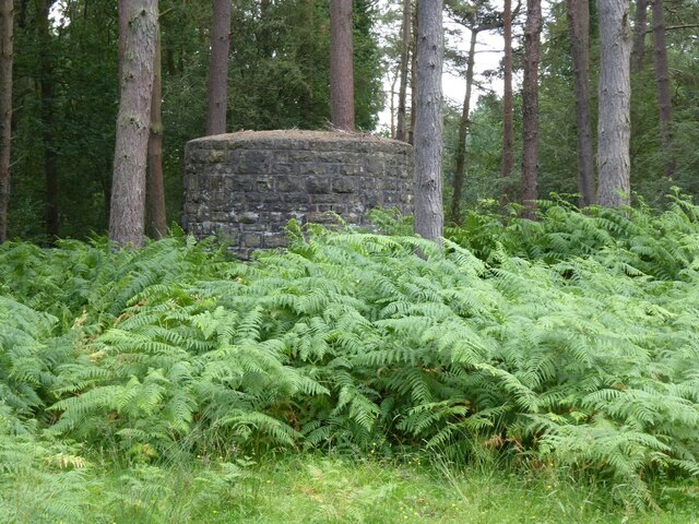
In addition to its natural attractions, Birches Dingle is steeped in history. The valley has been inhabited since ancient times, and there are remnants of Iron Age settlements and Roman ruins that can still be found. Archaeologists have also discovered artifacts dating back to the Neolithic period, adding to the valley's historical significance.
Overall, Birches Dingle is a true gem in Gloucestershire, offering visitors a perfect blend of natural beauty, serene surroundings, and a rich historical heritage.
If you have any feedback on the listing, please let us know in the comments section below.
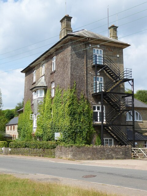
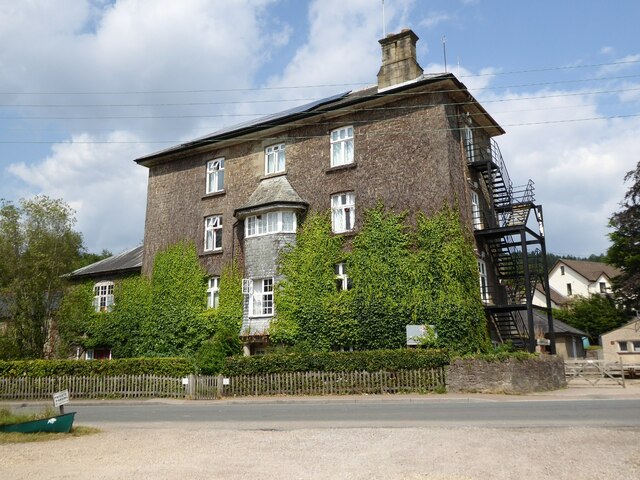
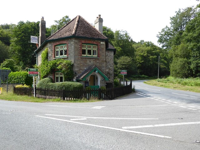
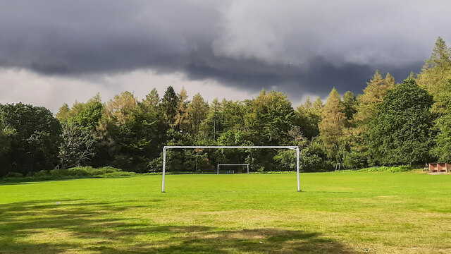
Birches Dingle Images
Images are sourced within 2km of 51.765693/-2.5458433 or Grid Reference SO6207. Thanks to Geograph Open Source API. All images are credited.

Birches Dingle is located at Grid Ref: SO6207 (Lat: 51.765693, Lng: -2.5458433)
Administrative County: Gloucestershire
District: Forest of Dean
Police Authority: Gloucestershire
What 3 Words
///haggle.notifying.impact. Near Bream, Gloucestershire
Nearby Locations
Related Wikis

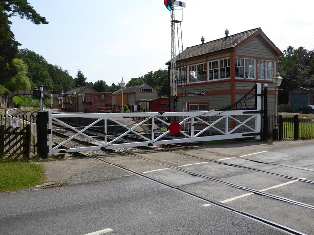
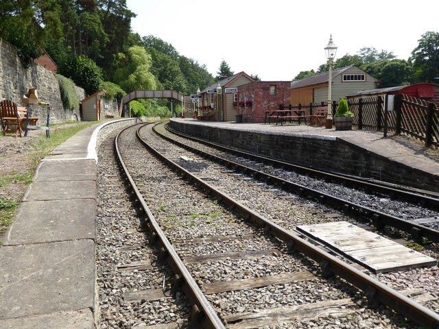
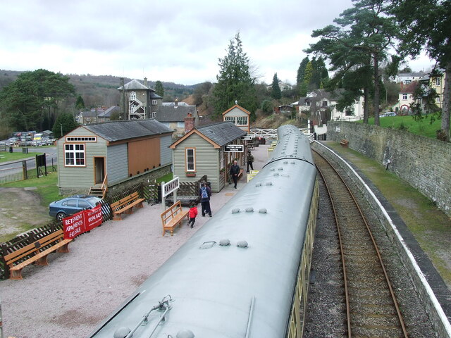
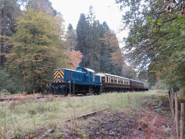
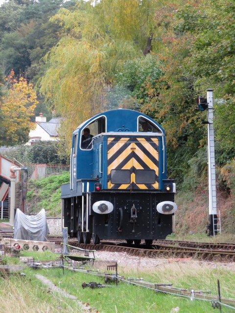
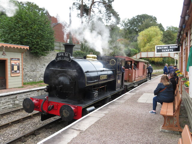
Parkend railway station
Parkend railway station is located in the village of Parkend, in the Forest of Dean, Gloucestershire. It is currently the northern terminus of the Dean...

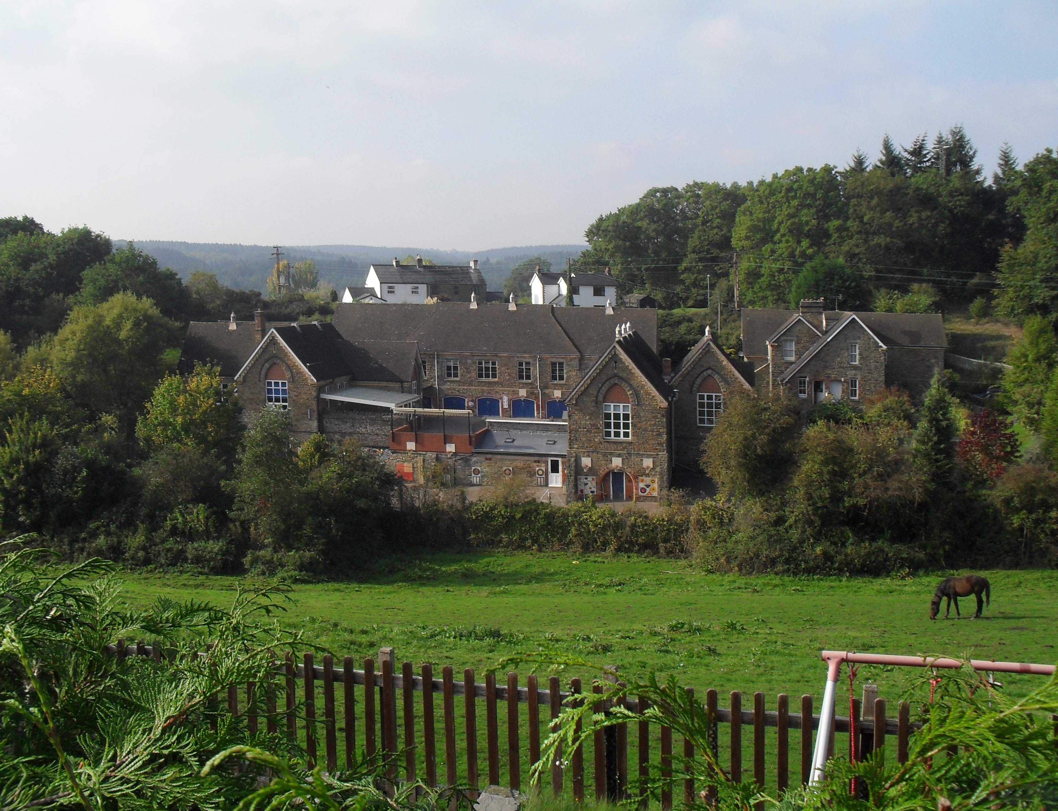
Parkend
Parkend is a village, located at the foot of the Cannop Valley, in the Royal Forest of Dean, West Gloucestershire, England, and has a history dating back...

Parkend Ironworks
Parkend Ironworks, also known as Parkend Furnace, in the village of Parkend, in the Forest of Dean, Gloucestershire, England, was a coke-fired furnace...

Oakenhill Railway Cutting
Oakenhill Railway Cutting (grid reference SO630069) is a 0.81-hectare (2.0-acre) geological Site of Special Scientific Interest in Gloucestershire, notified...
Pillowell
Pillowell is a small English village in Gloucestershire, on the south-eastern edge of the Forest of Dean. Once a mining village, much of it now lies in...
Yorkley
Yorkley is a village in west Gloucestershire, England. The village includes the settlement of Yorkley Slade to the east. Yorkley is situated between the...

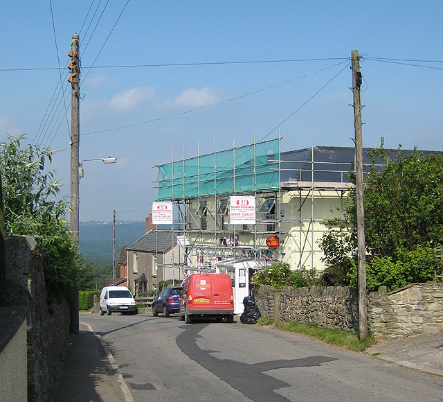
Whitecroft
Whitecroft is a village in the Forest of Dean in west Gloucestershire, England. It is located in-between Bream and Yorkley. Whitecroft comes under the...

Nagshead
Nagshead is a woodland reserve, located on the western edge of Parkend, in the Forest of Dean, Gloucestershire, and is home to RSPB Nagshead. The site...
Related Videos

A weekend of adventures in the Forest of Dean | VLOG (13)
Welcome to the Forest of Dean! Another weekend, which means another adventure. And this time we headed west to the Forest of ...

Hiking Video’s are very tiring!
video #bloopers #2023 #hiking #walking #running #nature #forest #woodland #behindthescenes.

#OutdoorsIndoors #ASMR Forest of Dean, Walking Across the Clearing, Sounds of Footsteps in Nature
Bringing the outdoors, indoors. A pilot project inspired by #AccessToNature. Making the outdoors accessible for those unable to ...
Nearby Amenities
Located within 500m of 51.765693,-2.5458433Have you been to Birches Dingle?
Leave your review of Birches Dingle below (or comments, questions and feedback).