The Birches
Wood, Forest in Gloucestershire Forest of Dean
England
The Birches
The Birches, located in Gloucestershire, is a picturesque wood or forest known for its natural beauty and diverse ecosystem. Spanning over a vast area, it offers a serene and tranquil environment for visitors to explore and enjoy the wonders of nature.
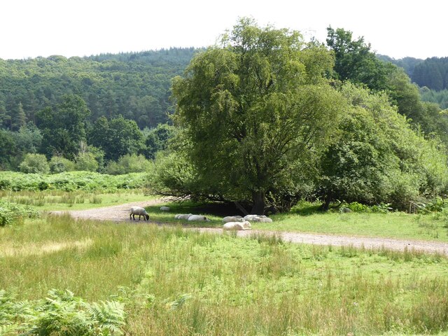
The wood is predominantly made up of birch trees, which lend their name to the area. These tall, elegant trees with their distinctive silver-white bark create a stunning visual spectacle, especially during the winter months when the landscape is covered in a blanket of snow.
The Birches is home to a rich variety of flora and fauna, making it a haven for nature enthusiasts and wildlife lovers. Visitors can expect to encounter a wide range of animal species, including birds, squirrels, deer, and even the occasional fox or badger. The forest floor is also adorned with a colorful carpet of wildflowers during the spring and summer months.
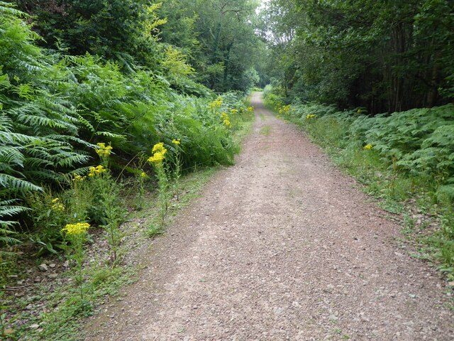
Various walking trails and paths wind their way through The Birches, offering visitors the opportunity to fully immerse themselves in the beauty of the surroundings. These trails cater to different levels of difficulty, ensuring that everyone, from casual walkers to experienced hikers, can enjoy the wood at their own pace.
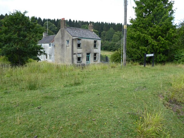
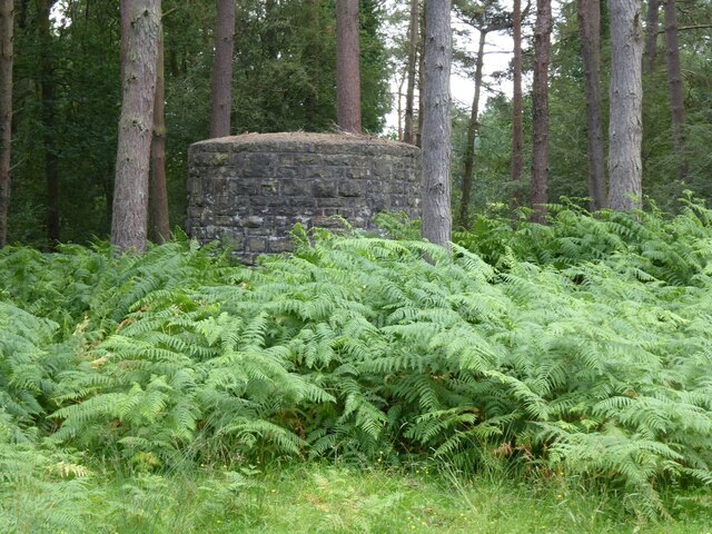
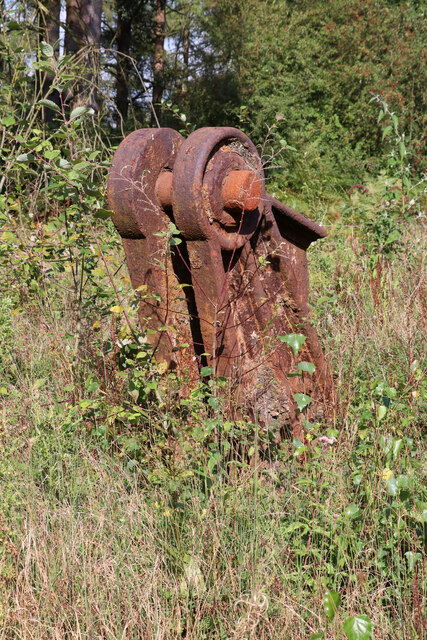
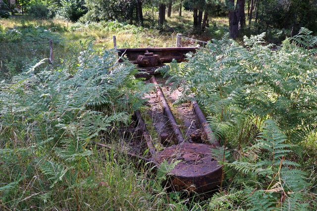
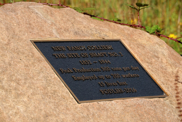
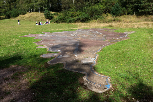
In addition to its natural beauty, The Birches also has historical significance. It is believed to have been a popular hunting ground for ancient civilizations, as evidenced by the remnants of old hunting lodges and ancient burial mounds that can still be found within the wood.
Overall, The Birches in Gloucestershire is a captivating destination, blending natural beauty, wildlife, and history to create an unforgettable experience for all who visit.
If you have any feedback on the listing, please let us know in the comments section below.
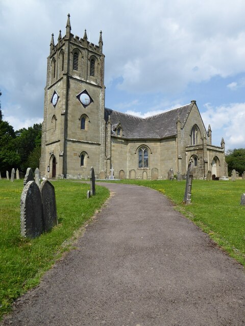
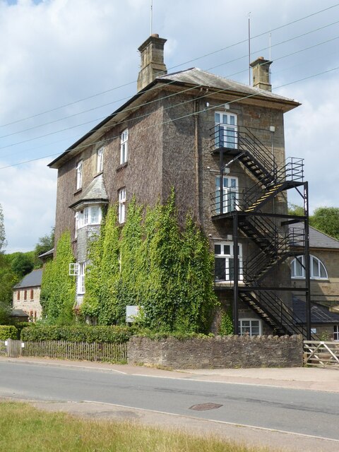
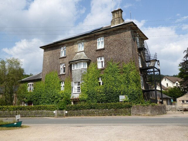
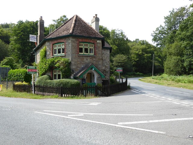
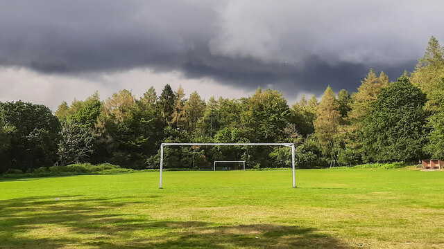
The Birches Images
Images are sourced within 2km of 51.767463/-2.5461545 or Grid Reference SO6207. Thanks to Geograph Open Source API. All images are credited.
The Birches is located at Grid Ref: SO6207 (Lat: 51.767463, Lng: -2.5461545)
Administrative County: Gloucestershire
District: Forest of Dean
Police Authority: Gloucestershire
What 3 Words
///daunted.cover.immunity. Near Bream, Gloucestershire
Nearby Locations
Related Wikis

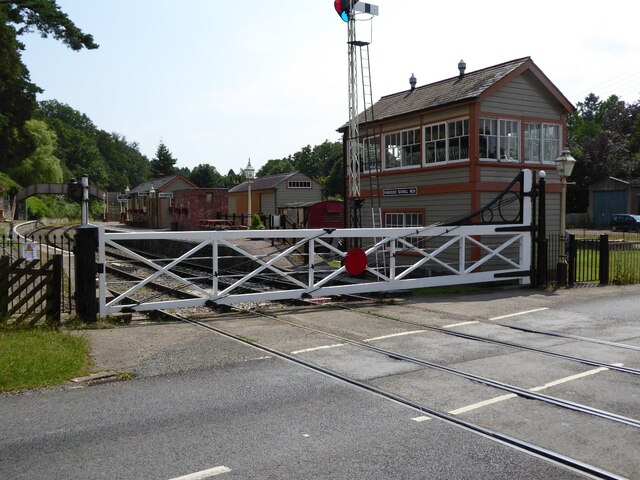
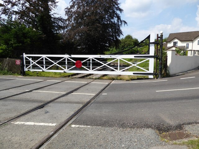
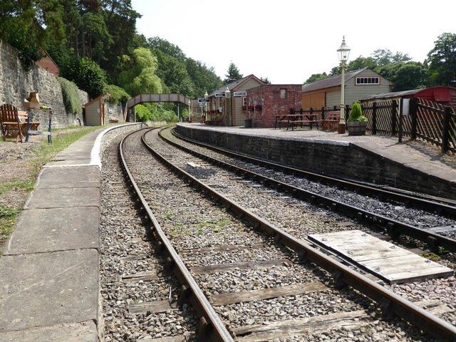
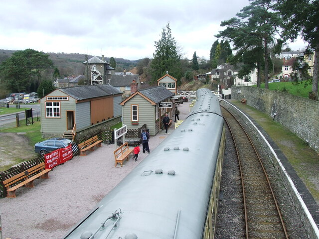
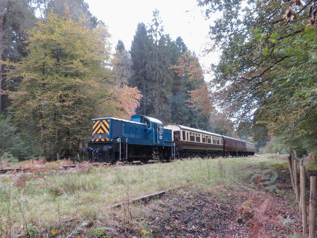
Parkend railway station
Parkend railway station is located in the village of Parkend, in the Forest of Dean, Gloucestershire. It is currently the northern terminus of the Dean...

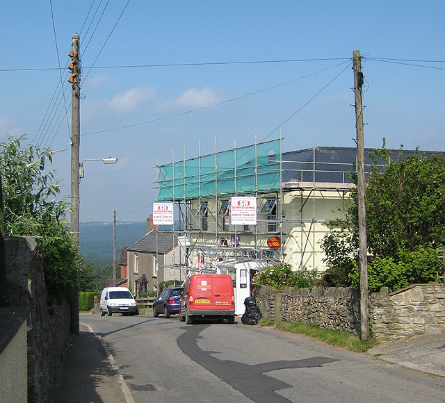
Parkend
Parkend is a village, located at the foot of the Cannop Valley, in the Royal Forest of Dean, West Gloucestershire, England, and has a history dating back...

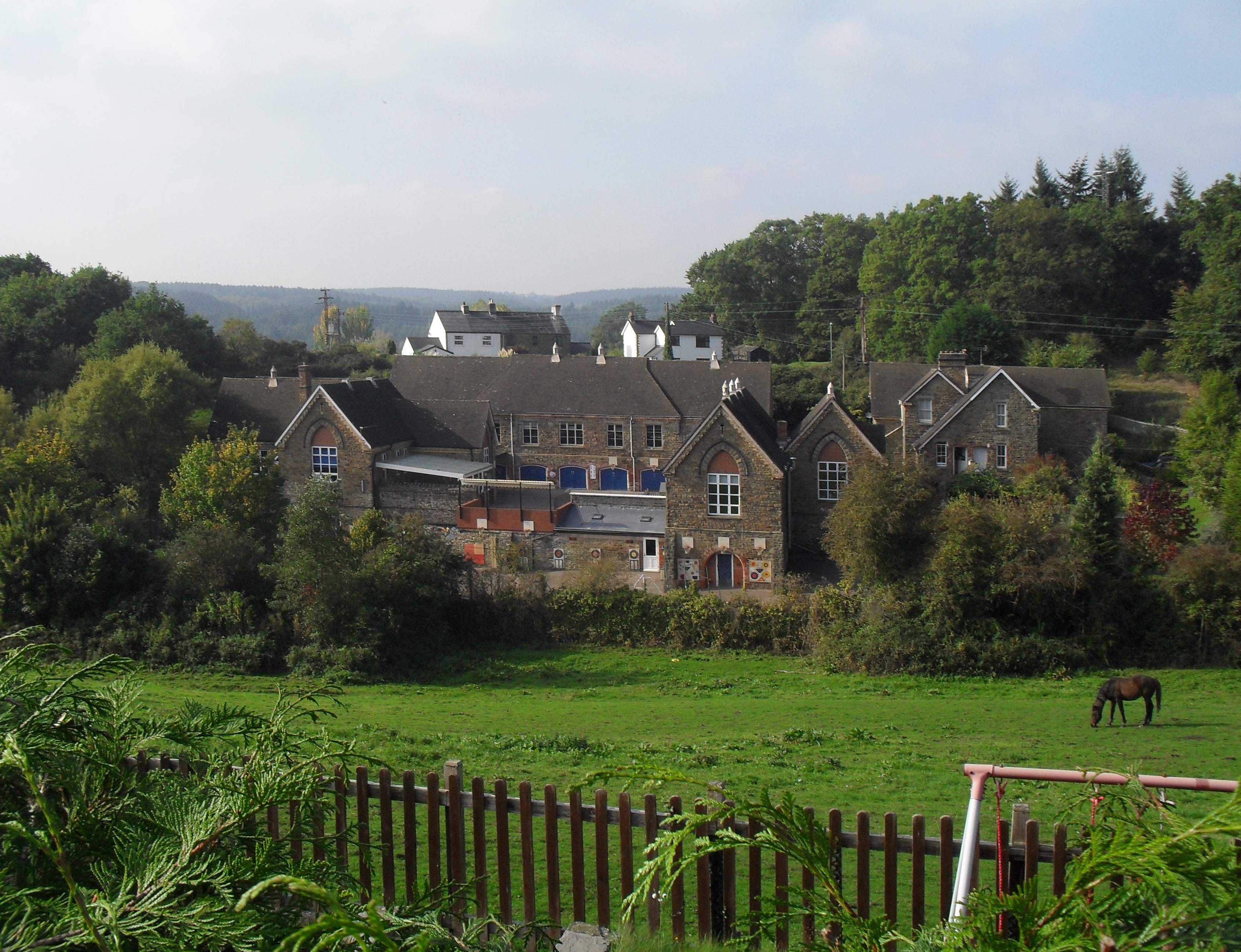
Parkend Ironworks
Parkend Ironworks, also known as Parkend Furnace, in the village of Parkend, in the Forest of Dean, Gloucestershire, England, was a coke-fired furnace...

Oakenhill Railway Cutting
Oakenhill Railway Cutting (grid reference SO630069) is a 0.81-hectare (2.0-acre) geological Site of Special Scientific Interest in Gloucestershire, notified...

Nagshead
Nagshead is a woodland reserve, located on the western edge of Parkend, in the Forest of Dean, Gloucestershire, and is home to RSPB Nagshead. The site...
Pillowell
Pillowell is a small English village in Gloucestershire, on the south-eastern edge of the Forest of Dean. Once a mining village, much of it now lies in...
Yorkley
Yorkley is a village in west Gloucestershire, England. The village includes the settlement of Yorkley Slade to the east. Yorkley is situated between the...

Whitecroft
Whitecroft is a village in the Forest of Dean in west Gloucestershire, England. It is located in-between Bream and Yorkley. Whitecroft comes under the...
Nearby Amenities
Located within 500m of 51.767463,-2.5461545Have you been to The Birches?
Leave your review of The Birches below (or comments, questions and feedback).