Engine Dingle
Valley in Gloucestershire Forest of Dean
England
Engine Dingle
Engine Dingle, located in Gloucestershire, England, is a picturesque valley that offers visitors a tranquil and scenic experience. Nestled within the Cotswold Hills, this hidden gem is renowned for its natural beauty and rich biodiversity. The valley is situated near the village of Dingle, just a short distance from the bustling market town of Stroud.
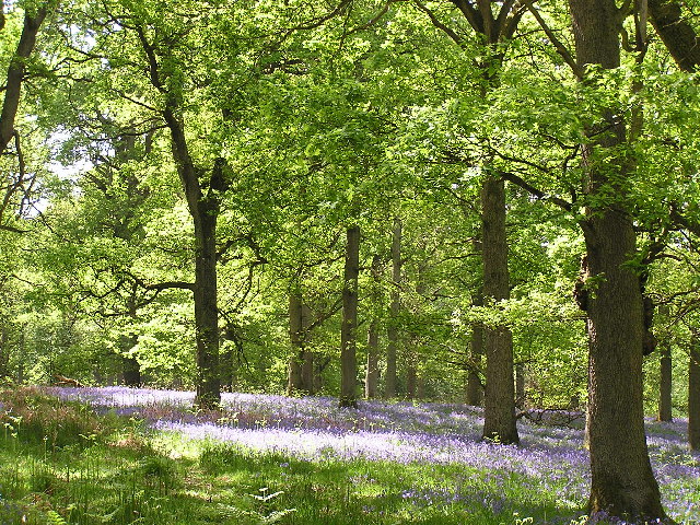
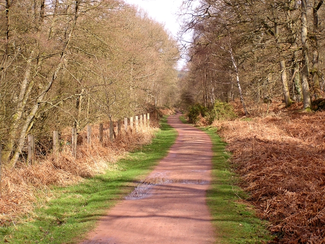
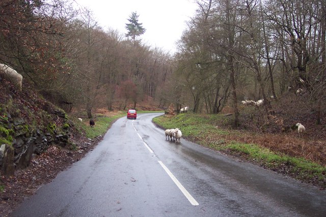
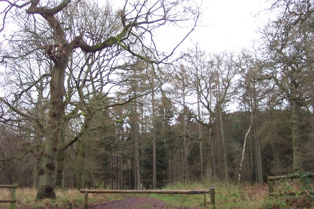
Engine Dingle is characterized by its lush greenery, rolling hills, and meandering stream, which adds to its charm and serenity. The area is home to a diverse range of flora and fauna, including wildflowers, oak trees, and various bird species. Nature enthusiasts can enjoy leisurely walks, hikes, or picnics while immersing themselves in the stunning surroundings.
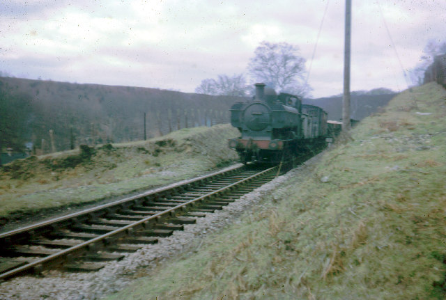
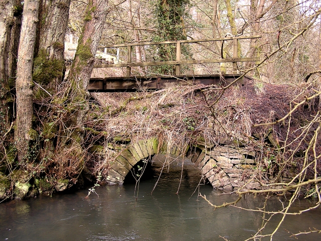
One of the highlights of Engine Dingle is the old engine house that stands as a historical landmark. This structure, dating back to the industrial revolution, served as a pump house for the nearby canal system. Its presence adds a touch of nostalgia and offers a glimpse into the area's industrial past.
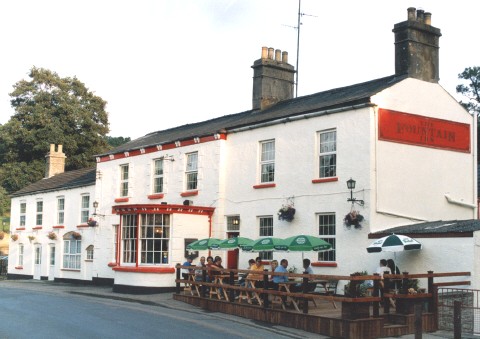
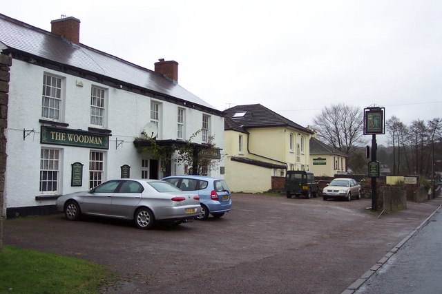
Visitors to Engine Dingle can also explore the nearby attractions, such as the Stroudwater Navigation, a restored canal that once played a vital role in the region's transportation network. The surrounding villages offer charming pubs, quaint shops, and traditional Cotswold architecture for those seeking a taste of rural life.
Overall, Engine Dingle, Gloucestershire, provides a haven for nature lovers and history enthusiasts alike. Its idyllic setting, combined with its historical significance, makes it a must-visit destination for anyone seeking a peaceful retreat in the heart of the English countryside.
If you have any feedback on the listing, please let us know in the comments section below.
Engine Dingle Images
Images are sourced within 2km of 51.770491/-2.5541183 or Grid Reference SO6108. Thanks to Geograph Open Source API. All images are credited.


Engine Dingle is located at Grid Ref: SO6108 (Lat: 51.770491, Lng: -2.5541183)
Administrative County: Gloucestershire
District: Forest of Dean
Police Authority: Gloucestershire
What 3 Words
///pacifist.isolated.fine. Near Bream, Gloucestershire
Nearby Locations
Related Wikis

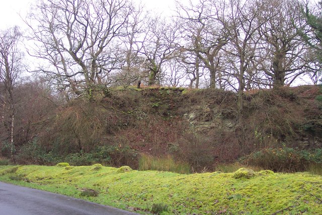
Parkend Ironworks
Parkend Ironworks, also known as Parkend Furnace, in the village of Parkend, in the Forest of Dean, Gloucestershire, England, was a coke-fired furnace...

Parkend
Parkend is a village, located at the foot of the Cannop Valley, in the Royal Forest of Dean, West Gloucestershire, England, and has a history dating back...

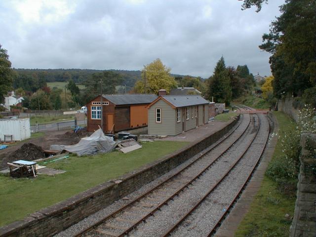
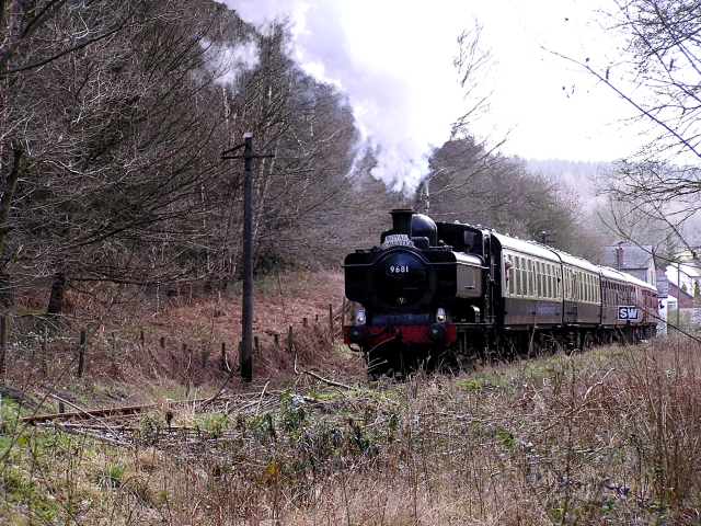
Parkend railway station
Parkend railway station is located in the village of Parkend, in the Forest of Dean, Gloucestershire. It is currently the northern terminus of the Dean...

Nagshead
Nagshead is a woodland reserve, located on the western edge of Parkend, in the Forest of Dean, Gloucestershire, and is home to RSPB Nagshead. The site...
Nearby Amenities
Located within 500m of 51.770491,-2.5541183Have you been to Engine Dingle?
Leave your review of Engine Dingle below (or comments, questions and feedback).