Lumbers Marsh
Coastal Marsh, Saltings in Gloucestershire Forest of Dean
England
Lumbers Marsh
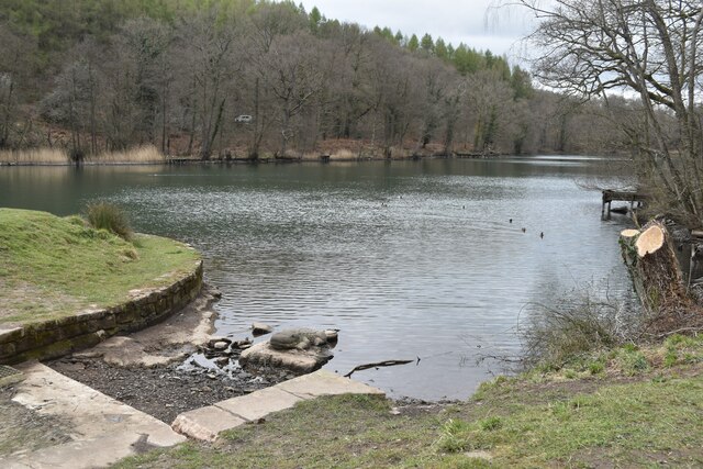
Lumbers Marsh is a coastal marshland located in Gloucestershire, England. Stretching along the southern bank of the River Severn, it is a significant natural reserve known for its diverse ecosystem and unique saltwater environment. The marsh is situated within the larger area of the Severn Estuary, which is renowned for its rich biodiversity.
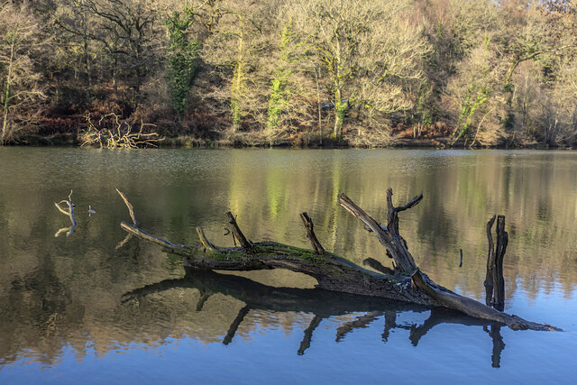
Covering an extensive area, Lumbers Marsh consists mainly of salt marshes and saltings. These habitats are formed by the deposition of sediment carried by the tides, resulting in a mixture of sand, mud, and silt. The marsh is flooded twice a day during high tides, providing a constantly changing, dynamic environment for numerous plant and animal species.
The marshland is characterized by its vegetation, which has adapted to the high salinity levels. Salt-tolerant plants such as samphire, sea lavender, and various grasses thrive in this unique environment. These marsh plants create a visually stunning landscape, with vibrant colors and textures that change throughout the seasons.
Lumbers Marsh is an important habitat for numerous bird species, serving as a breeding ground, feeding area, and migratory stopover. Birds such as dunlins, redshanks, and curlews can be spotted in the marsh, attracting birdwatchers and nature enthusiasts alike.
The reserve is also home to various invertebrates, including crabs, shrimps, and worms, which play a vital role in the marsh's ecosystem. Additionally, Lumbers Marsh supports a range of fish species, which benefit from the abundant food supply provided by the marshland.
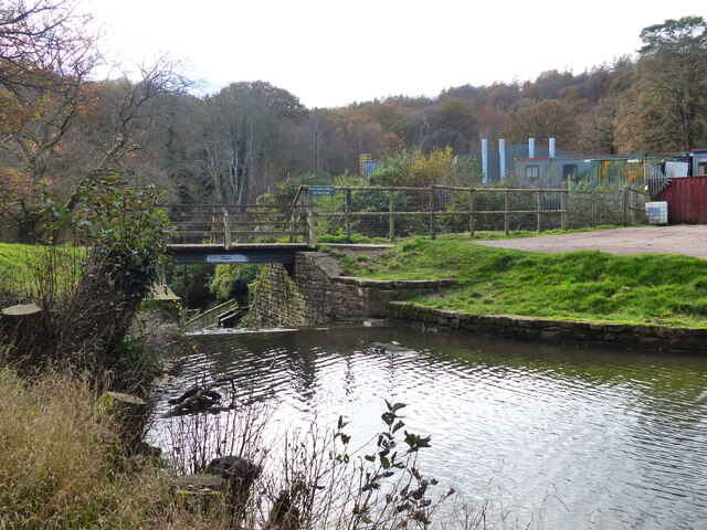
Due to its ecological significance, Lumbers Marsh is protected as a nature reserve, ensuring the preservation of its unique coastal marsh environment. Visitors can explore the marsh via designated walking trails, allowing them to experience the beauty and biodiversity of this remarkable natural area.
If you have any feedback on the listing, please let us know in the comments section below.
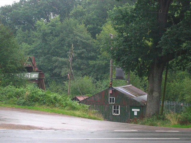
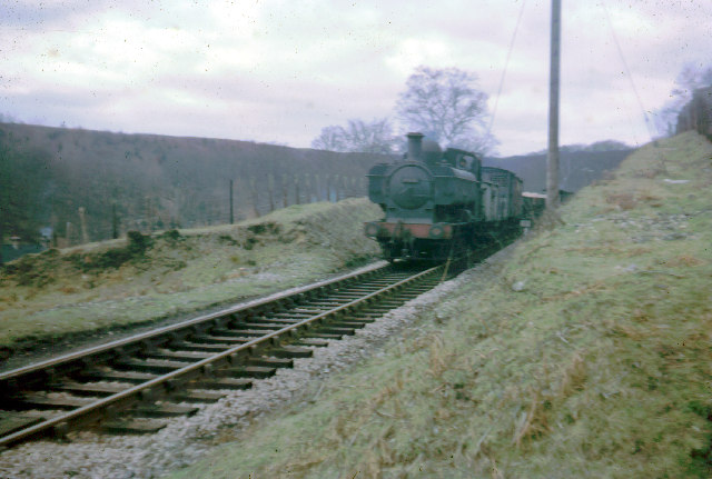
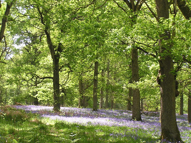
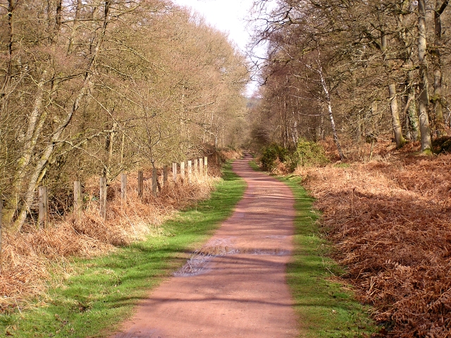
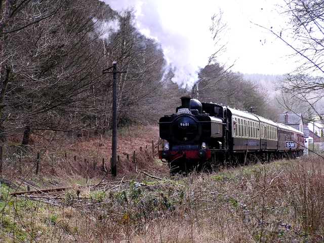
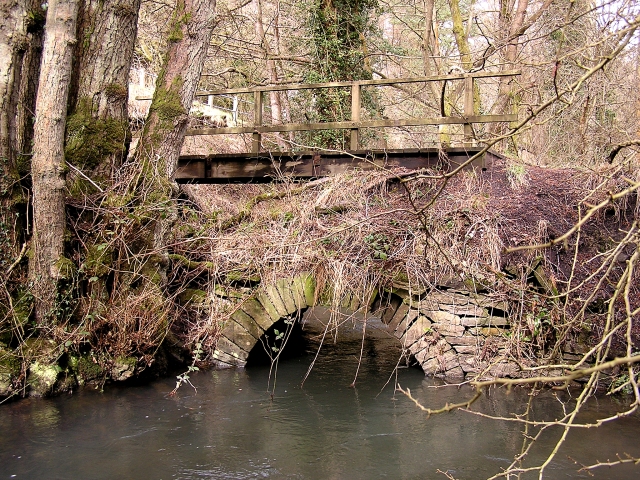
Lumbers Marsh Images
Images are sourced within 2km of 51.771705/-2.5618143 or Grid Reference SO6108. Thanks to Geograph Open Source API. All images are credited.


Lumbers Marsh is located at Grid Ref: SO6108 (Lat: 51.771705, Lng: -2.5618143)
Administrative County: Gloucestershire
District: Forest of Dean
Police Authority: Gloucestershire
What 3 Words
///candidate.trout.verdict. Near Bream, Gloucestershire
Nearby Locations
Related Wikis

Parkend Ironworks
Parkend Ironworks, also known as Parkend Furnace, in the village of Parkend, in the Forest of Dean, Gloucestershire, England, was a coke-fired furnace...

Nagshead
Nagshead is a woodland reserve, located on the western edge of Parkend, in the Forest of Dean, Gloucestershire, and is home to RSPB Nagshead. The site...

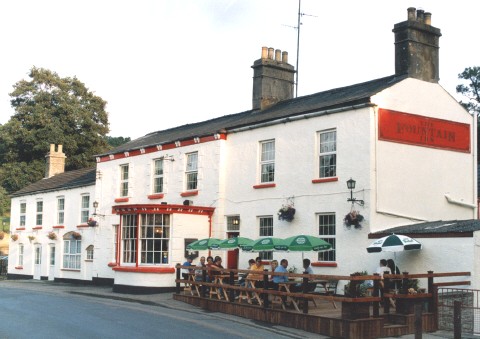
Parkend
Parkend is a village, located at the foot of the Cannop Valley, in the Royal Forest of Dean, West Gloucestershire, England, and has a history dating back...

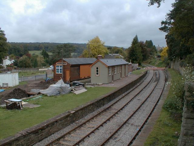
Parkend railway station
Parkend railway station is located in the village of Parkend, in the Forest of Dean, Gloucestershire. It is currently the northern terminus of the Dean...
Nearby Amenities
Located within 500m of 51.771705,-2.5618143Have you been to Lumbers Marsh?
Leave your review of Lumbers Marsh below (or comments, questions and feedback).