Well Cleuch

Valley in Roxburghshire

Scotland

Well Cleuch

Battling Sike A corner in the edge of Wauchope Forest.
Battling Sike Credit: Richard Webb

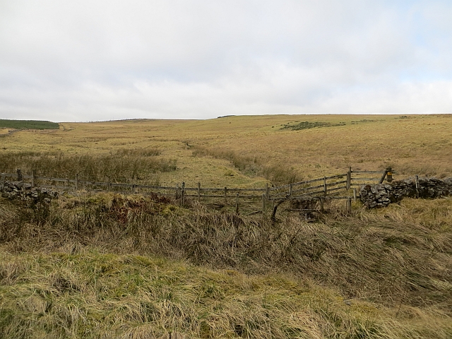
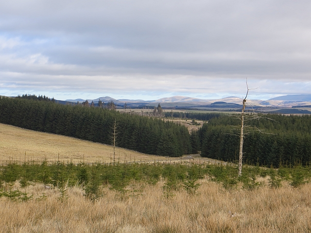
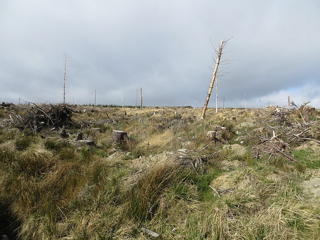
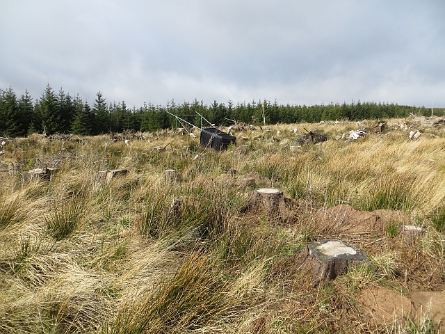
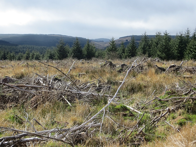
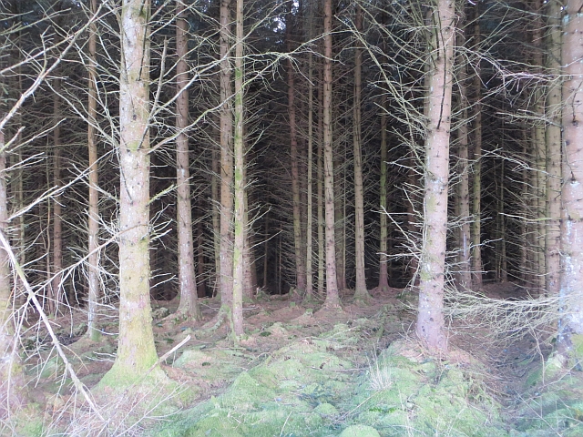
Well Cleuch is a picturesque valley located in Roxburghshire, Scotland. Nestled amidst the rolling hills and lush greenery, this valley is a haven for nature enthusiasts and those seeking a tranquil escape from the hustle and bustle of city life.

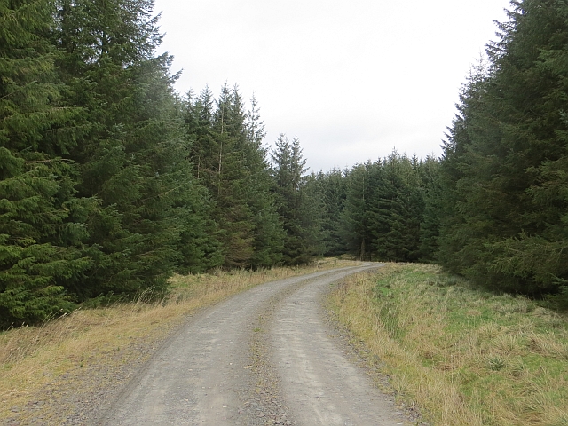
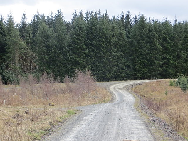
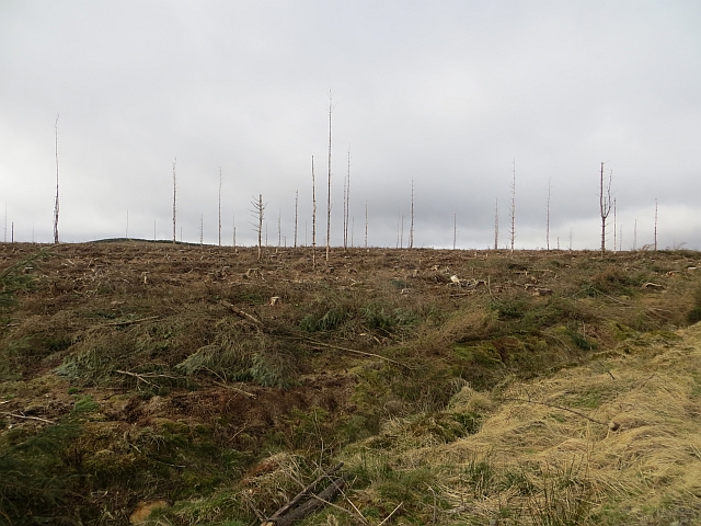
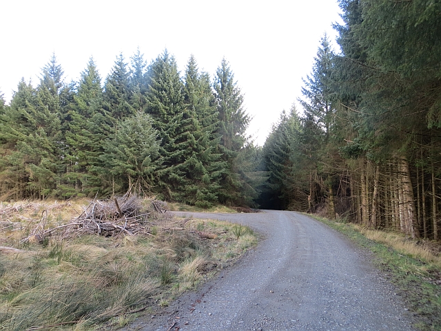
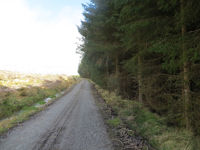
The valley is formed by the Well Cleuch Burn, a charming stream that meanders through the landscape, adding to the idyllic beauty of the area. The surrounding hills offer breathtaking panoramic views, making it a popular spot for hikers and photographers.

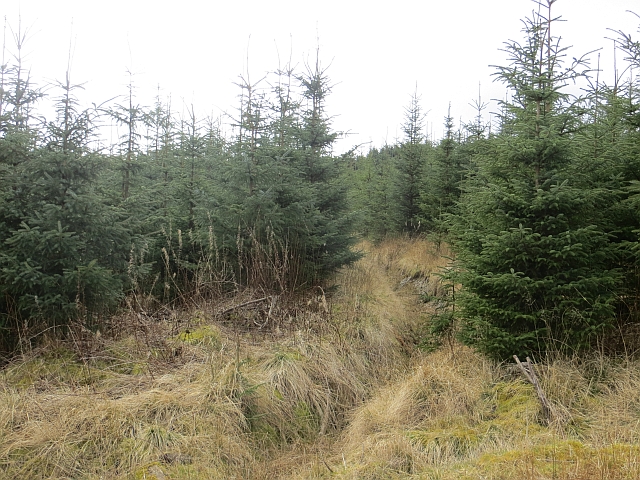
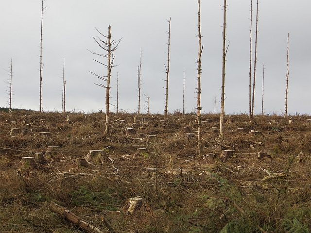
Flourishing with diverse flora and fauna, Well Cleuch is home to a variety of plant and animal species. The valley's rich biodiversity includes wildflowers, mosses, and ferns, as well as species like red squirrels, roe deer, and various bird species.

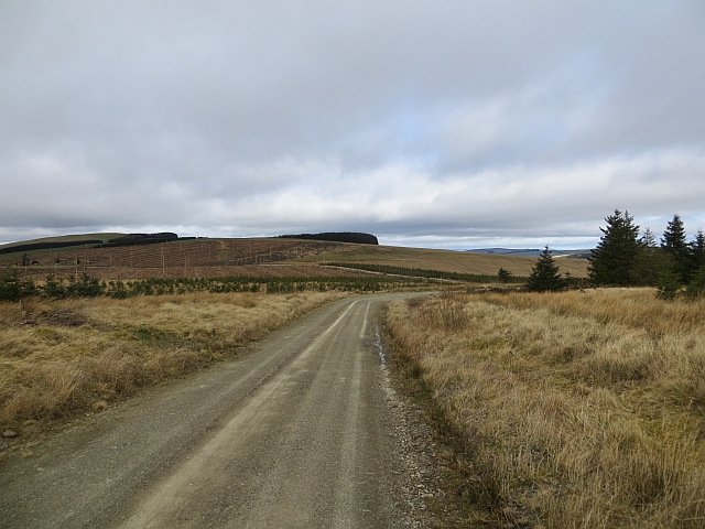
Visitors to Well Cleuch can explore the numerous walking trails that crisscross the valley, allowing them to immerse themselves in the natural wonders of the area. These trails cater to all levels of fitness and offer opportunities for leisurely strolls or more challenging hikes.

The valley is also known for its historical significance. It is believed that Well Cleuch was once part of an ancient trading route, and remnants of old settlements and structures can still be found scattered throughout the area.

Overall, Well Cleuch is a hidden gem in Roxburghshire, offering a perfect blend of natural beauty, biodiversity, and historical charm. Whether it's for a leisurely walk, a wildlife spotting adventure, or simply to soak in the tranquility, this valley has something to offer to everyone.

If you have any feedback on the listing, please let us know in the comments section below.
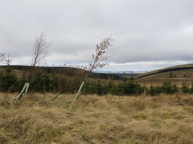
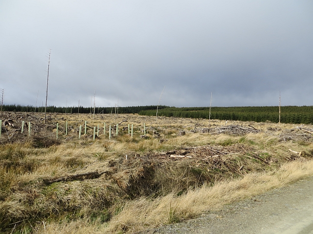
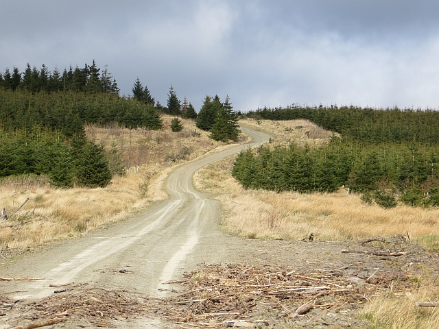
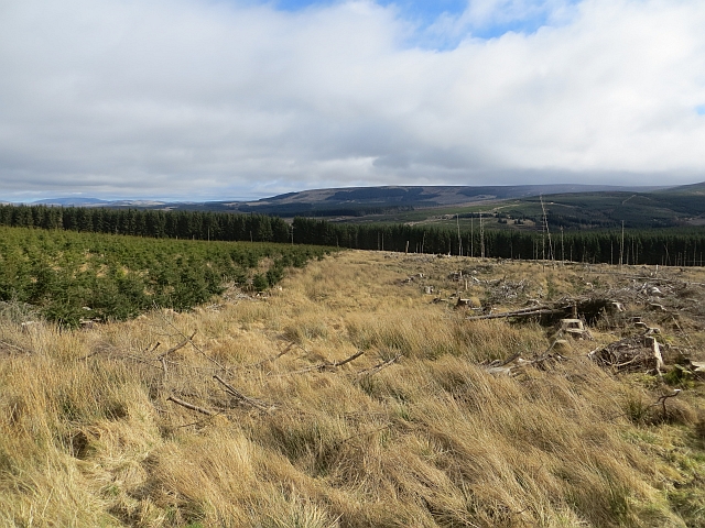
Well Cleuch Images

Images are sourced within 2km of 55.343215/-2.6028463 or Grid Reference NT6105. Thanks to Geograph Open Source API. All images are credited.

Battling Sike A corner in the edge of Wauchope Forest.
Battling Sike
A corner in the edge of Wauchope Forest.
Logging road, Wauchope Forest Near the forest edge by Peden's Cleuch.
Logging road, Wauchope Forest
Near the forest edge by Peden's Cleuch.
Young plantation, Wauchope Forest The days of a uniform covering are long gone here. The felling rotation means that much of the forest is made up of young trees at various stages of growth.
Young plantation, Wauchope Forest
The days of a uniform covering are long gone here. The felling rotation means that much of the forest is made up of young trees at various stages of growth.
Logging road, Wauchope Forest The junction layout changed judging by the 1:50,000 maps. There has been some wind damage to the trees in the background.
Logging road, Wauchope Forest
The junction layout changed judging by the 1:50,000 maps. There has been some wind damage to the trees in the background.
Wauchope Forest Looking over young trees towards the forest edge.  The road through the gap in the trees is this one: <a href="https://www.geograph.org.uk/photo/3895517">NT6107 : Logging road, Wauchope Forest</a>
Wauchope Forest
Looking over young trees towards the forest edge. The road through the gap in the trees is this one: NT6107 : Logging road, Wauchope Forest
Felled area, Wauchope Forest A recently felled block.
Felled area, Wauchope Forest
A recently felled block.
Felled area, Wauchope Forest Recently clear felled block in Wauchope Forest.
Felled area, Wauchope Forest
Recently clear felled block in Wauchope Forest.
Logging road, Wauchope Forest Passing the site of Flush Plantation, a name still on the maps. Flush Plantation was a small square woodland in what was once a vast sheep walk.

An older view from a similar viewpoint: <a href="https://www.geograph.org.uk/photo/1245995">NT6006 : Wauchope Forest</a>
Logging road, Wauchope Forest
Passing the site of Flush Plantation, a name still on the maps. Flush Plantation was a small square woodland in what was once a vast sheep walk. An older view from a similar viewpoint: NT6006 : Wauchope Forest
Wauchope Forest A view, for now, over young trees and clear felled blocks.
Wauchope Forest
A view, for now, over young trees and clear felled blocks.
Felled area, Wauchope Forest Recently replanted block on Wardmoor Hill.
Felled area, Wauchope Forest
Recently replanted block on Wardmoor Hill.
Wardmoor Hill Logging road in Wauchope Forest.
Wardmoor Hill
Logging road in Wauchope Forest.
Ride, Wauchope Forest A grass strip which is a hangover from the previous generation of trees, has been retained. Obviously the northern block was felled a few years earlier than the southern block.
The ride heads towards the site of Wellcleuch Plantation, one of the small woods that predate the planting of Wauchope Forest.
Ride, Wauchope Forest
A grass strip which is a hangover from the previous generation of trees, has been retained. Obviously the northern block was felled a few years earlier than the southern block. The ride heads towards the site of Wellcleuch Plantation, one of the small woods that predate the planting of Wauchope Forest.
Replanted block, Wauchope Forest
Felled area, Wauchope Forest And a felled deer seat.
Felled area, Wauchope Forest
And a felled deer seat.
Felled and replanted woodland In Wauchope Forest, looking towards a notch in the hills which carries the Bonchester Bridge to Newcastleton road.
Felled and replanted woodland
In Wauchope Forest, looking towards a notch in the hills which carries the Bonchester Bridge to Newcastleton road.
Road junction, Wauchope Forest
Wauchope Forest Standing timber near the Well Cleuch.
Wauchope Forest
Standing timber near the Well Cleuch.
Road, Wauchope Forest There has been some felling work since this was taken <a href="https://www.geograph.org.uk/photo/530427">NT6205 : Forestry in Wellcleuch Plantation</a>.
Road, Wauchope Forest
There has been some felling work since this was taken NT6205 : Forestry in Wellcleuch Plantation.
Show me another place!

Well Cleuch is located at Grid Ref: NT6105 (Lat: 55.343215, Lng: -2.6028463)

Unitary Authority: The Scottish Borders

Police Authority: The Lothians and Scottish Borders

What 3 Words

///pleaser.rollover.wanting. Near Hawick, Scottish Borders

Related Wikis

Southdean

Southdean is a hamlet in the Scottish Borders area of Scotland, on the A6088, by the Jed Water and in the Wauchope Forest area. Other settlements nearby...

Wauchope Forest

Wauchope Forest is a forest on the Rule Water, in the Scottish Borders area of Scotland, south of Hawick, and including the A6088, the A68 and the B6357...

Wauchope, Scottish Borders

Wauchope is a hamlet in the Scottish Borders council area of Scotland, near Southdean. Wauchope House was demolished in 1932. == See also == Wauchope Forest...

Hobkirk

Hobkirk (Scottish Gaelic: Eaglais Ruail) is a village and civil parish in the Scottish Borders area of Scotland, by the Rule Water, south-west of Jedburgh...

Bonchester Bridge

Bonchester Bridge (Scots Binster Brig) is a village in Roxburghshire, within the Scottish Borders area of Scotland, lying on the Rule Water, six miles...

Abbotrule

Abbotrule is a hamlet south of the B6357 road, in the Scottish Borders area of Scotland, on Rule Burn, east of the Rule Water. Places nearby include Bedrule...

Scottish Borders

The Scottish Borders (Scots: the Mairches, lit. 'the Marches'; Scottish Gaelic: Crìochan na h-Alba) is one of 32 council areas of Scotland. It is bordered...

Carter Bar

Carter Bar is a pass in the Cheviot Hills, on the Anglo-Scottish border. It lies east of Carter Fell at the head of Redesdale, and is crossed by the A68...

Have you been to Well Cleuch?

Leave your review of Well Cleuch below (or comments, questions and feedback).