Bix Slade

Valley in Gloucestershire Forest of Dean

England

Bix Slade

A pithead mine wheel A pithead mine wheel at Hopewell Colliery Museum.
A pithead mine wheel Credit: Philip Halling

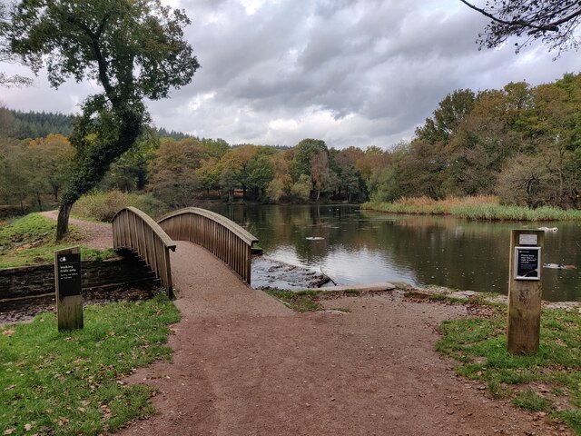
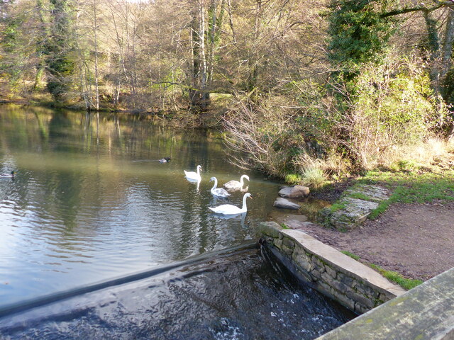
Bix Slade is a small valley located in the county of Gloucestershire in England. Situated within the picturesque Cotswolds Area of Outstanding Natural Beauty, Bix Slade offers visitors a tranquil and scenic escape from the bustling city life.

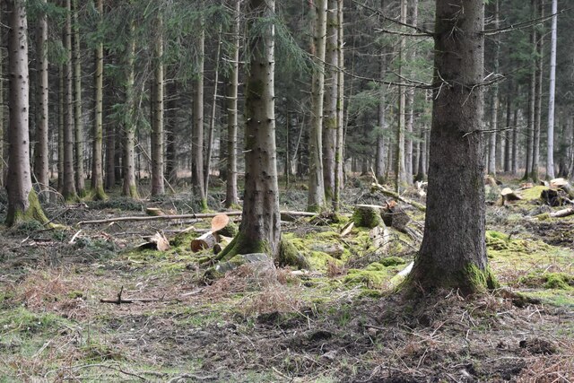
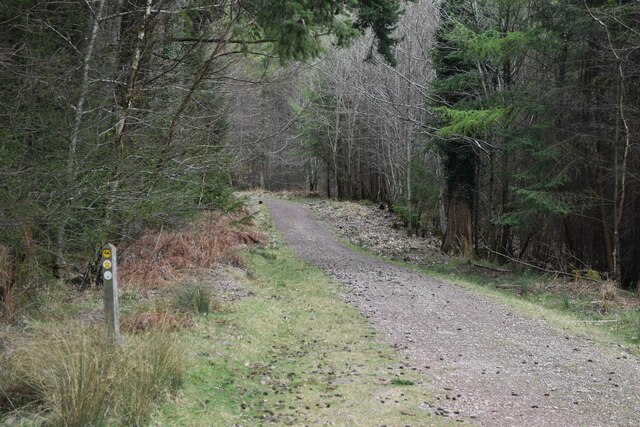
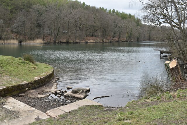
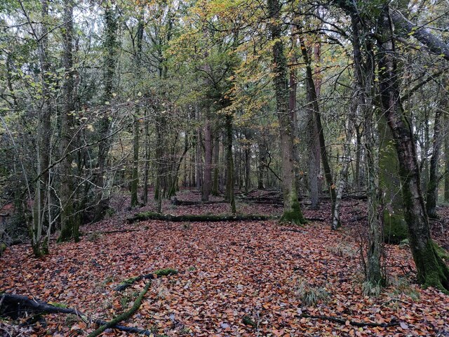
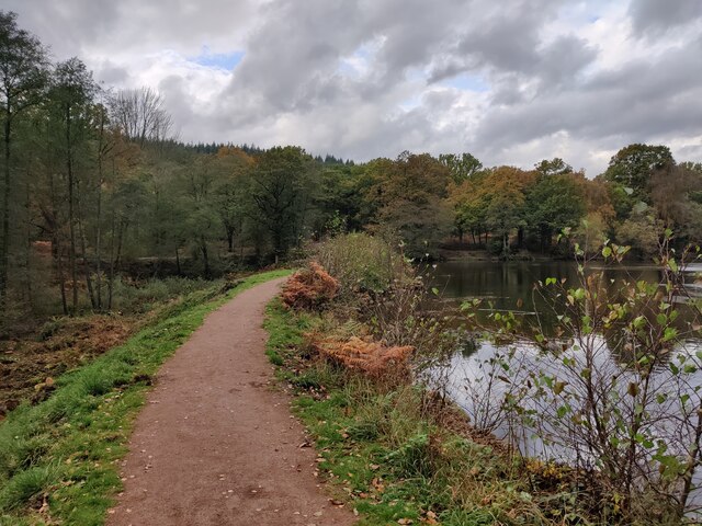
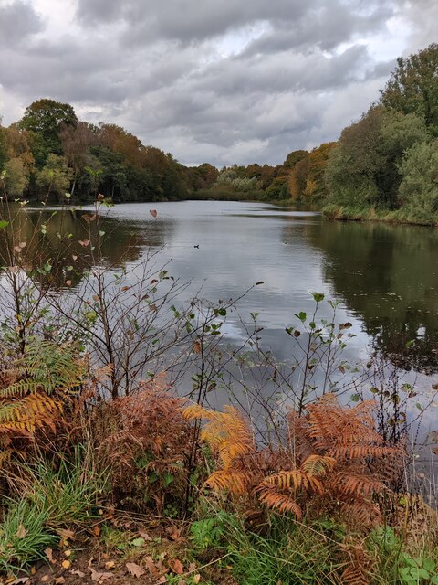
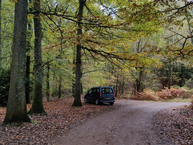
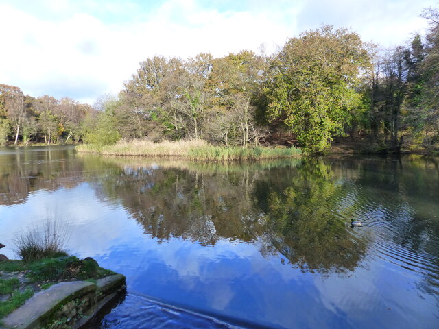
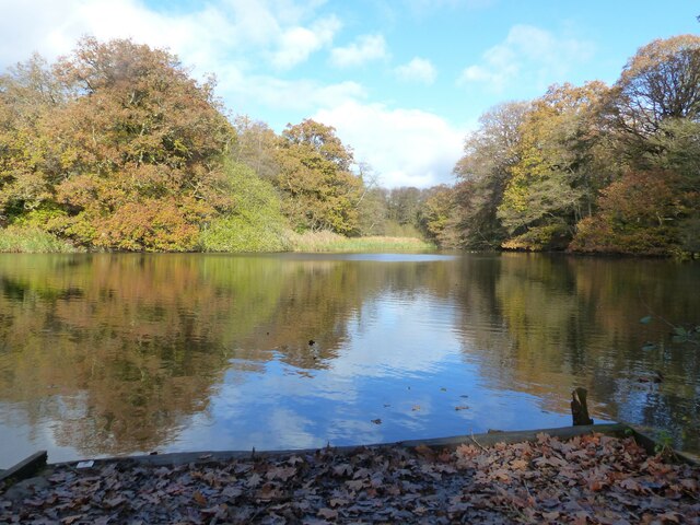
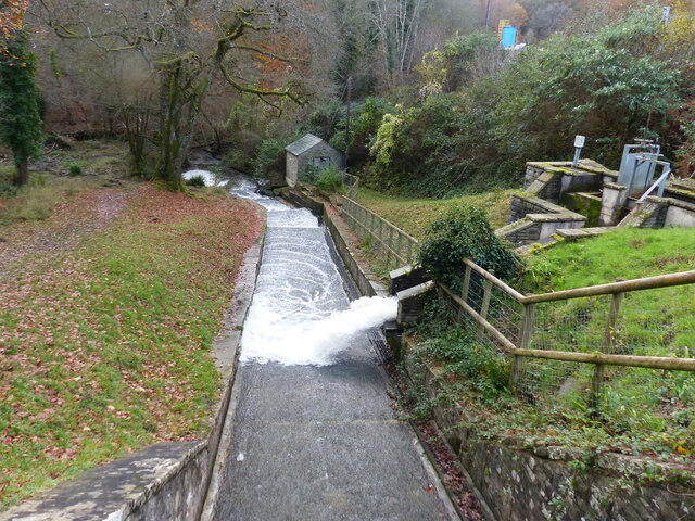
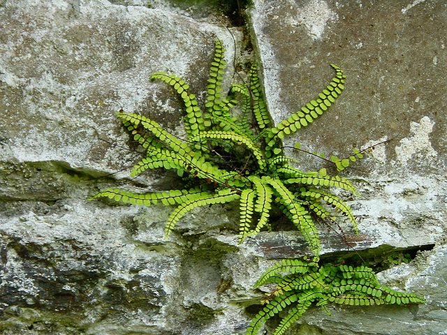
The valley is characterized by its lush greenery, rolling hills, and meandering stream, which adds to its natural charm. The surrounding landscape is dotted with ancient woodlands, providing a haven for numerous species of flora and fauna. Visitors to Bix Slade can enjoy leisurely walks along the well-maintained trails that crisscross the valley, taking in the stunning views and immersing themselves in the peaceful atmosphere.

Bix Slade is also home to a rich cultural heritage. The valley has played a significant role in the local history, with evidence of human habitation dating back thousands of years. Archaeological finds, such as burial mounds and artifacts, have been discovered in the area, offering a glimpse into the past.

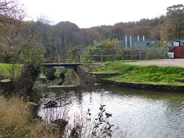
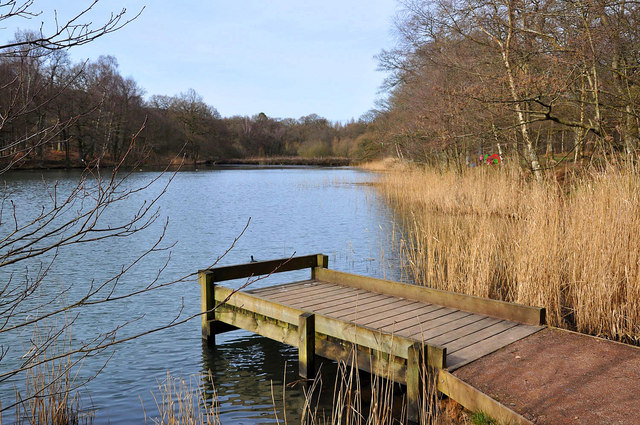
In addition to its natural and historical attractions, Bix Slade offers recreational activities for outdoor enthusiasts. The valley is a popular spot for hiking, cycling, and wildlife spotting. The stream running through the valley also provides opportunities for fishing and picnicking by its banks.

Overall, Bix Slade in Gloucestershire is a charming and idyllic destination that appeals to nature lovers, history enthusiasts, and those seeking a peaceful retreat in a stunning natural setting.

If you have any feedback on the listing, please let us know in the comments section below.
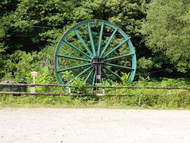
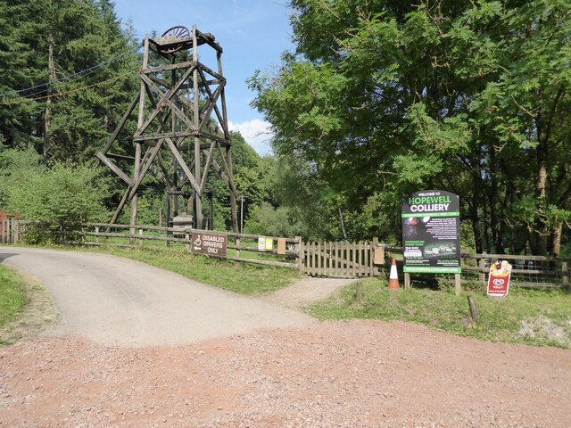
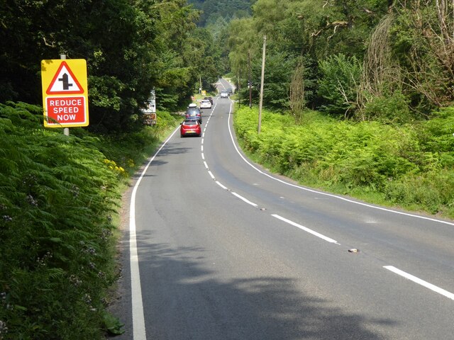
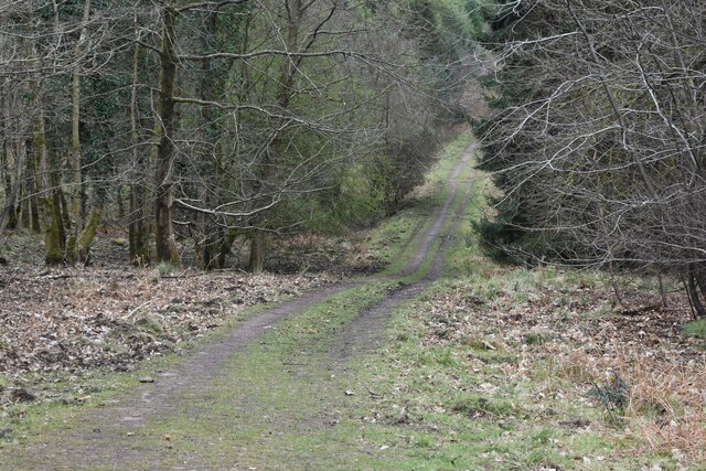
Bix Slade Images

Images are sourced within 2km of 51.786683/-2.5787595 or Grid Reference SO6009. Thanks to Geograph Open Source API. All images are credited.

A pithead mine wheel A pithead mine wheel at Hopewell Colliery Museum.
A pithead mine wheel
A pithead mine wheel at Hopewell Colliery Museum.
Hopewell Colliery Museum In the winter Hopewell Colliery is a working mine, in the summer it is a tourist attraction offering underground tours of the mine.
Hopewell Colliery Museum
In the winter Hopewell Colliery is a working mine, in the summer it is a tourist attraction offering underground tours of the mine.
Speech House Road The A4136, Speech House Road approaching the staggered crossroad at its junction with the B4234.
Speech House Road
The A4136, Speech House Road approaching the staggered crossroad at its junction with the B4234.
Forest track near Blackpennywall Well
View into woodland at Upper Whitelea Green
Forest track above Folder’s Green
Southern end of Cannop Ponds
Woodland at Cannop Ponds
Cannop Ponds in the Forest of Dean
Path at Cannop Ponds
Cannop Ponds in the Forest of Dean
Car park at Cannop Ponds
Swan family in the upper pond, Cannop Ponds, Forest of Dean
The upper pond, Cannop Ponds, Forest of Dean At time of posting, Forestry England proposes to drain these ponds, owing to the expense of maintaining the dams to be fit for purpose. 
<span class="nowrap"><a title="https://www.forestryengland.uk/article/the-future-cannop-ponds" rel="nofollow ugc noopener" href="https://www.forestryengland.uk/article/the-future-cannop-ponds">Link</a><img style="margin-left:2px;" alt="External link" title="External link - shift click to open in new window" src="https://s1.geograph.org.uk/img/external.png" width="10" height="10"/></span> 
Thousands of people have signed a petition against the plans.
The upper pond, Cannop Ponds, Forest of Dean
At time of posting, Forestry England proposes to drain these ponds, owing to the expense of maintaining the dams to be fit for purpose. LinkExternal link Thousands of people have signed a petition against the plans.
The lower and larger pond, Cannop Ponds, Forest of Dean The photo was taken from fishing stage no. 1. 
See also <a href="https://www.geograph.org.uk/photo/7345362">SO6010 : The upper pond, Cannop Ponds, Forest of Dean</a>
The lower and larger pond, Cannop Ponds, Forest of Dean
The photo was taken from fishing stage no. 1. See also SO6010 : The upper pond, Cannop Ponds, Forest of Dean
Footbridge and weir, Cannop Ponds, Forest of Dean See also <a href="https://www.geograph.org.uk/photo/7345362">SO6010 : The upper pond, Cannop Ponds, Forest of Dean</a>
Footbridge and weir, Cannop Ponds, Forest of Dean
A "Mandarin Tree" - roosting mandarin ducks, Cannop Ponds, Forest of Dean See also <a href="https://www.geograph.org.uk/photo/7345362">SO6010 : The upper pond, Cannop Ponds, Forest of Dean</a>
A "Mandarin Tree" - roosting mandarin ducks, Cannop Ponds, Forest of Dean
Looking down the channel from the lower pond at Cannop Ponds, Forest of Dean See also <a href="https://www.geograph.org.uk/photo/7345362">SO6010 : The upper pond, Cannop Ponds, Forest of Dean</a>
Looking down the channel from the lower pond at Cannop Ponds, Forest of Dean
Show me another place!

Bix Slade is located at Grid Ref: SO6009 (Lat: 51.786683, Lng: -2.5787595)

Administrative County: Gloucestershire

District: Forest of Dean

Police Authority: Gloucestershire

What 3 Words

///character.initial.spellings. Near Coleford, Gloucestershire

Related Wikis

Spion Kop Quarry

Spion Kop Quarry (grid reference SO598103) is a 0.7-hectare (1.7-acre) nature reserve in Gloucestershire in the Forest of Dean.The site is managed by the...

West Dean Rural District

West Dean Rural District was a rural district in Gloucestershire, England, from 1894 to 1974. It comprised a number of civil parishes, including, confusingly...

Cannop Ponds

Cannop Ponds (grid reference SO608106) are two large ponds, just north of Parkend in the Forest of Dean, Gloucestershire, England. The ponds, and surrounding...

Forest of Dean Cycle Centre

Forest of Dean Cycle Centre is a small woodland cycling centre, comprising mountain bike trails, a visitor centre, car parks and uplift service. It is...

Nagshead SSSI

Nagshead SSSI is a 297 acres (120 ha) biological Site of Special Scientific Interest located within RSPB Nagshead, near Parkend, in the Forest of Dean...

Coalway

Coalway is a village in the West Forest of Dean region of Gloucestershire, England, approximately one mile south-east of the town of Coleford. Within the...

Gorsty Knoll

Gorsty Knoll is a small hamlet, located in the Forest of Dean, Gloucestershire, England. The internationally important remains of Darkhill Ironworks and...

Darkhill Ironworks

Darkhill Ironworks, and the neighbouring Titanic Steelworks, are internationally important industrial remains associated with the development of the iron...

Nearby Amenities

Located within 500m of 51.786683,-2.5787595
Union Colliery Disaster
Historic: memorial
Start Date: 4 septemper 1902
Lat/Long: 51.7873931/-2.5772498
Natural: cave_entrance
Lat/Long: 51.7857472/-2.5779116
The data included in this document is from www.openstreetmap.org. The data is made available under ODbL.

Have you been to Bix Slade?

Leave your review of Bix Slade below (or comments, questions and feedback).