Cleave Hill

Hill, Mountain in Gloucestershire Forest of Dean

England

Cleave Hill

View into woodland at Upper Whitelea Green
View into woodland at Upper Whitelea Green Credit: David Martin

Cleave Hill is located in Gloucestershire, England, and is a prominent hill and popular tourist destination in the area. Standing at an elevation of approximately 330 meters (1,083 feet), it offers breathtaking panoramic views of the surrounding countryside.

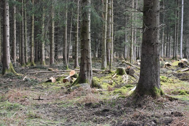
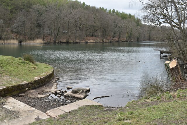
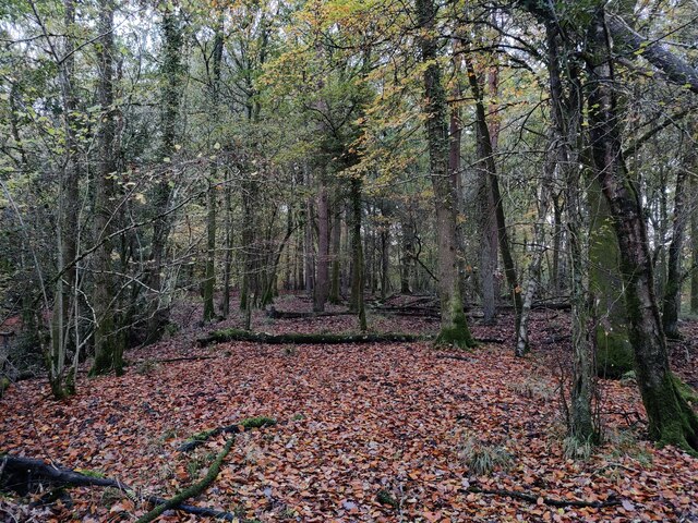
The hill is part of the Cotswold Hills, a designated Area of Outstanding Natural Beauty known for its rolling hills and picturesque landscapes. Cleave Hill itself boasts a diverse range of flora and fauna, making it a haven for nature enthusiasts and wildlife lovers. Visitors can expect to encounter various species of wildflowers, butterflies, and birds while exploring the area.

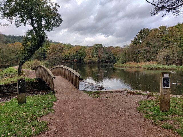
The hill is easily accessible, with a network of footpaths and trails leading to its summit. Many visitors choose to embark on a leisurely hike, taking in the stunning vistas along the way. At the top, an open grassy area provides the perfect spot for a picnic or simply to sit and soak in the natural beauty.

Cleave Hill is also a popular destination for outdoor activities such as paragliding and kite flying, thanks to its favorable wind conditions and open spaces. Additionally, the hill is a favorite among photographers, who are drawn to its photogenic landscapes and breathtaking sunsets.

Overall, Cleave Hill offers both locals and tourists alike the opportunity to immerse themselves in the beauty of Gloucestershire's countryside, providing a serene escape from the hustle and bustle of everyday life.

If you have any feedback on the listing, please let us know in the comments section below.
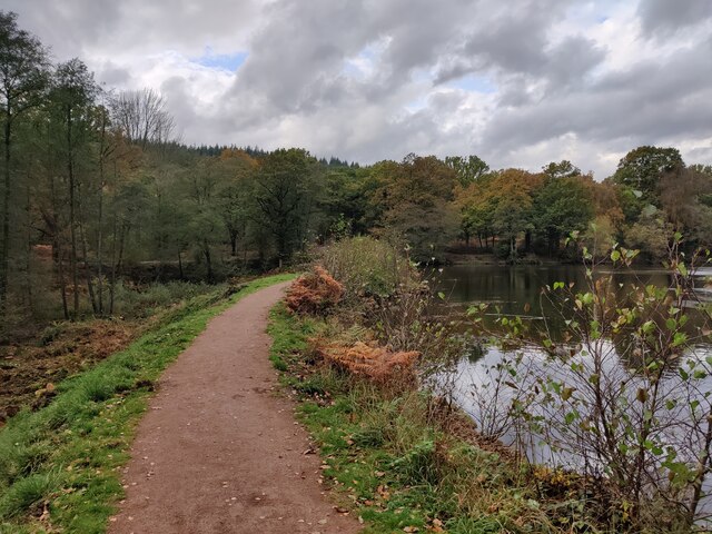
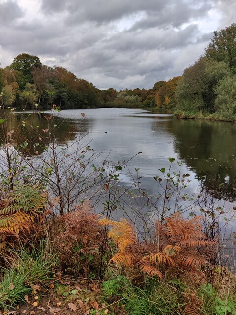
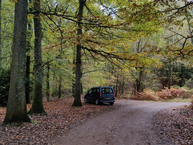
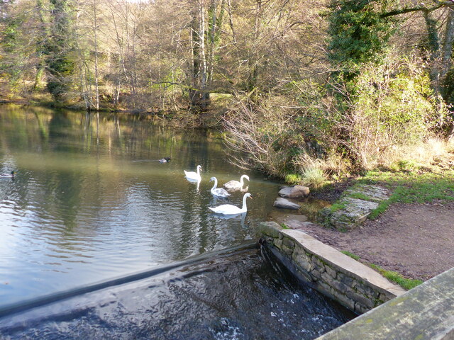
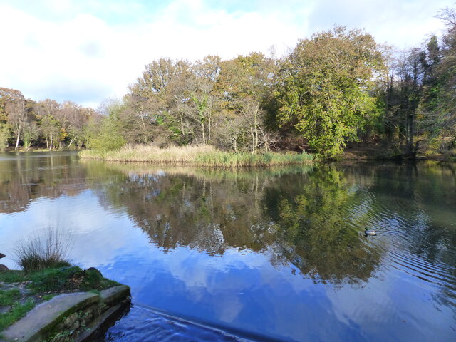
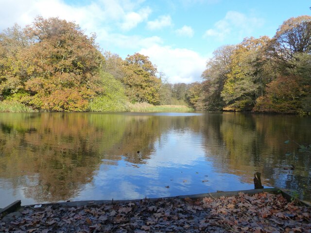
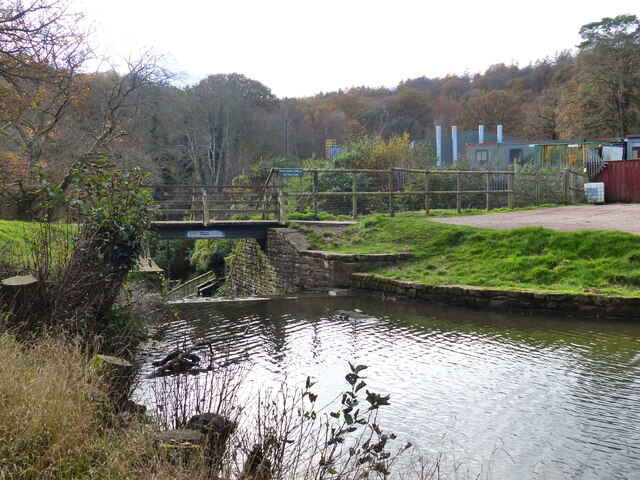
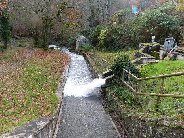
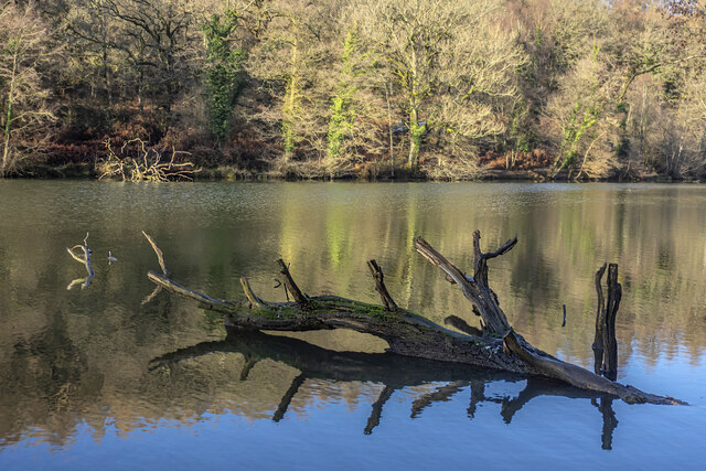
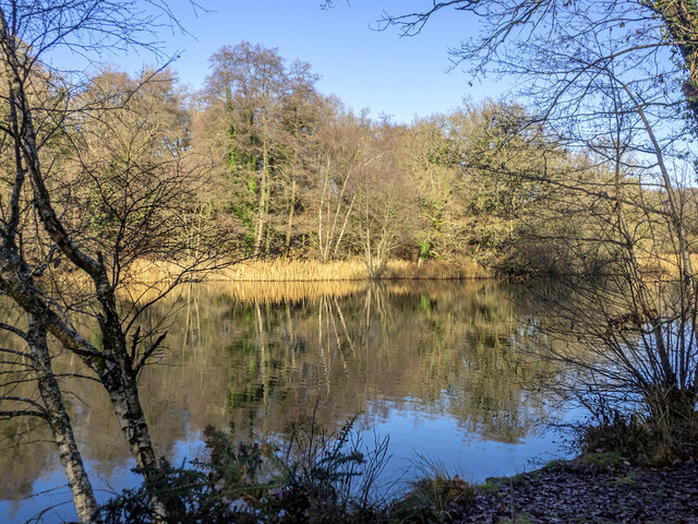
Cleave Hill Images

Images are sourced within 2km of 51.778342/-2.5781019 or Grid Reference SO6009. Thanks to Geograph Open Source API. All images are credited.

View into woodland at Upper Whitelea Green
Southern end of Cannop Ponds
Woodland at Cannop Ponds
Cannop Ponds in the Forest of Dean
Path at Cannop Ponds
Cannop Ponds in the Forest of Dean
Car park at Cannop Ponds
Swan family in the upper pond, Cannop Ponds, Forest of Dean
The upper pond, Cannop Ponds, Forest of Dean At time of posting, Forestry England proposes to drain these ponds, owing to the expense of maintaining the dams to be fit for purpose. 
<span class="nowrap"><a title="https://www.forestryengland.uk/article/the-future-cannop-ponds" rel="nofollow ugc noopener" href="https://www.forestryengland.uk/article/the-future-cannop-ponds">Link</a><img style="margin-left:2px;" alt="External link" title="External link - shift click to open in new window" src="https://s1.geograph.org.uk/img/external.png" width="10" height="10"/></span> 
Thousands of people have signed a petition against the plans.
The upper pond, Cannop Ponds, Forest of Dean
At time of posting, Forestry England proposes to drain these ponds, owing to the expense of maintaining the dams to be fit for purpose. LinkExternal link Thousands of people have signed a petition against the plans.
The lower and larger pond, Cannop Ponds, Forest of Dean The photo was taken from fishing stage no. 1. 
See also <a href="https://www.geograph.org.uk/photo/7345362">SO6010 : The upper pond, Cannop Ponds, Forest of Dean</a>
The lower and larger pond, Cannop Ponds, Forest of Dean
The photo was taken from fishing stage no. 1. See also SO6010 : The upper pond, Cannop Ponds, Forest of Dean
Footbridge and weir, Cannop Ponds, Forest of Dean See also <a href="https://www.geograph.org.uk/photo/7345362">SO6010 : The upper pond, Cannop Ponds, Forest of Dean</a>
Footbridge and weir, Cannop Ponds, Forest of Dean
A "Mandarin Tree" - roosting mandarin ducks, Cannop Ponds, Forest of Dean See also <a href="https://www.geograph.org.uk/photo/7345362">SO6010 : The upper pond, Cannop Ponds, Forest of Dean</a>
A "Mandarin Tree" - roosting mandarin ducks, Cannop Ponds, Forest of Dean
Looking down the channel from the lower pond at Cannop Ponds, Forest of Dean See also <a href="https://www.geograph.org.uk/photo/7345362">SO6010 : The upper pond, Cannop Ponds, Forest of Dean</a>
Looking down the channel from the lower pond at Cannop Ponds, Forest of Dean
Drowned trees On either side of the lower pond at Cannop.
Drowned trees
On either side of the lower pond at Cannop.
Winter reflections, Cannop Ponds, 1 A bright Boxing Day morning.
Winter reflections, Cannop Ponds, 1
A bright Boxing Day morning.
Winter reflections, Cannop Ponds, 2 Spot the anglers.
Winter reflections, Cannop Ponds, 2
Spot the anglers.
Winter reflections, Cannop Ponds, 3 Spot the anglers!
Winter reflections, Cannop Ponds, 3
Spot the anglers!
Show me another place!

Cleave Hill is located at Grid Ref: SO6009 (Lat: 51.778342, Lng: -2.5781019)

Administrative County: Gloucestershire

District: Forest of Dean

Police Authority: Gloucestershire

What 3 Words

///spindles.vibrating.careless. Near Coleford, Gloucestershire

Related Wikis

West Dean Rural District

West Dean Rural District was a rural district in Gloucestershire, England, from 1894 to 1974. It comprised a number of civil parishes, including, confusingly...

Nagshead SSSI

Nagshead SSSI is a 297 acres (120 ha) biological Site of Special Scientific Interest located within RSPB Nagshead, near Parkend, in the Forest of Dean...

Forest of Dean Cycle Centre

Forest of Dean Cycle Centre is a small woodland cycling centre, comprising mountain bike trails, a visitor centre, car parks and uplift service. It is...

Mary Rose Young

Mary Rose Young is a ceramic artist who lives and works in the Forest of Dean, Gloucestershire, in the UK. == Early life == Mary Rose Young was born near...

Nearby Amenities

Located within 500m of 51.778342,-2.5781019
Bench
Backrest: no
Lat/Long: 51.7797081/-2.5743712
Bench
Lat/Long: 51.7779656/-2.572799
Bench
Backrest: no
Lat/Long: 51.7768919/-2.5738338
Bench
Backrest: no
Lat/Long: 51.7767794/-2.5737456
Bench
Backrest: no
Lat/Long: 51.7768277/-2.5737982
The data included in this document is from www.openstreetmap.org. The data is made available under ODbL.

Have you been to Cleave Hill?

Leave your review of Cleave Hill below (or comments, questions and feedback).