Black Clough

Valley in Yorkshire Ribble Valley

England

Black Clough

Grouse Butt, Higher Dry Clough Grouse butt used as a hide / wind break for grouse shooting. This particular one is lower down the hillside than the series of grouse butts indicated on the 1:25k OS map.
Grouse Butt, Higher Dry Clough Credit: Robin

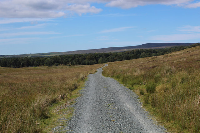
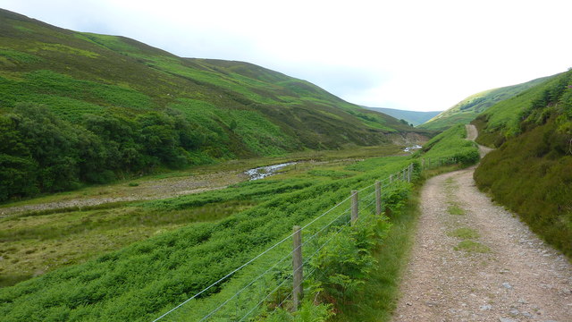
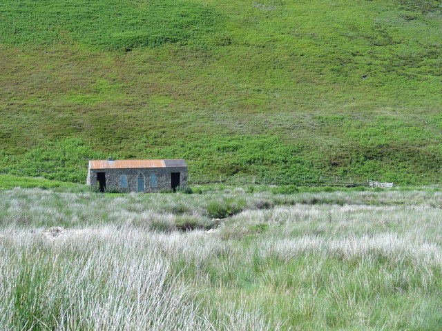
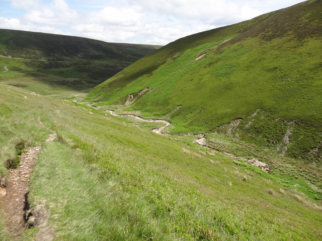
Black Clough is a picturesque valley nestled in the heart of Yorkshire, England. Located in the southern part of the county, it is part of the stunning Peak District National Park. The valley is characterized by its rugged beauty, with steep slopes, dense woodlands, and a meandering river flowing through its center.

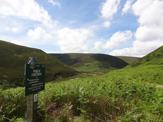
The valley gets its name from the dark-colored rocks that line its walls, giving it a mysterious and enchanting atmosphere. It is a popular destination for hikers and nature enthusiasts, offering a range of walking trails that cater to all levels of fitness and experience. The paths wind through the valley, providing breathtaking views of the surrounding countryside.

Black Clough is also home to a diverse array of flora and fauna. The woodlands are teeming with ancient oak trees, providing a habitat for numerous species of birds, squirrels, and other small mammals. Wildflowers carpet the valley in the spring, adding a burst of color to the already stunning landscape.

For those seeking solitude and tranquility, Black Clough offers a peaceful retreat away from the hustle and bustle of everyday life. The sound of the river cascading over rocks and the gentle rustling of leaves in the wind create a soothing symphony of nature.

Overall, Black Clough is a hidden gem in Yorkshire, offering visitors a chance to connect with nature and experience the beauty of the British countryside. Whether it's a leisurely stroll or a challenging hike, the valley has something to offer everyone who ventures into its depths.

If you have any feedback on the listing, please let us know in the comments section below.
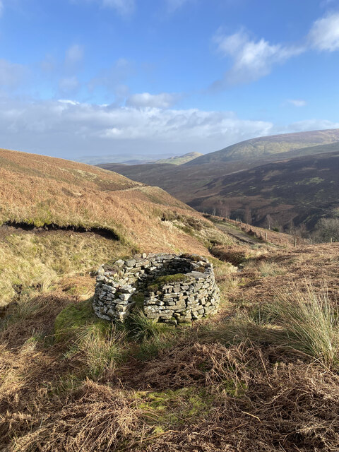
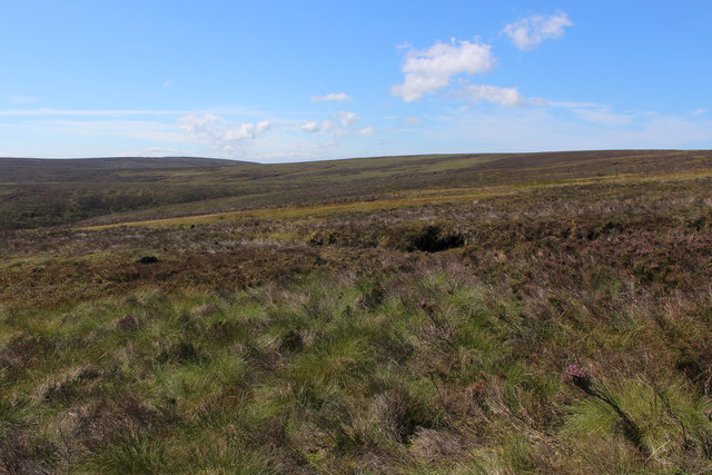
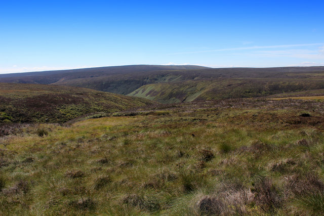
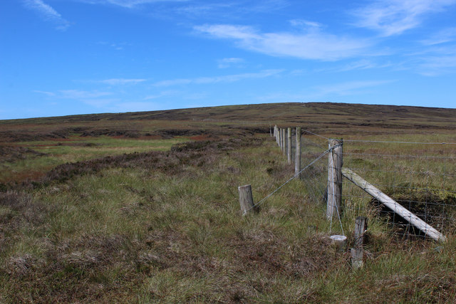
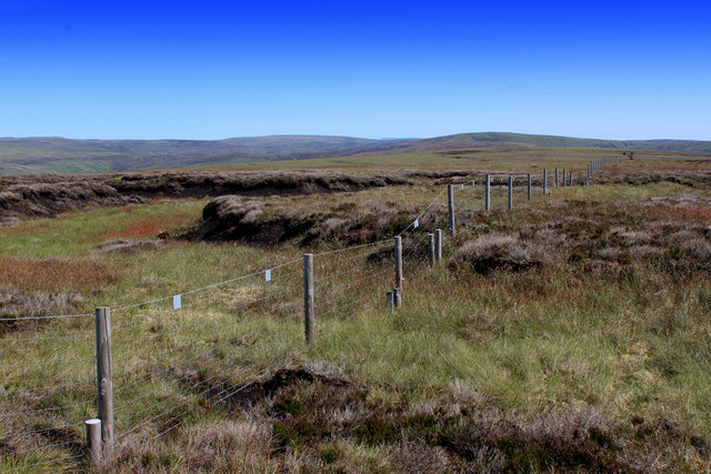
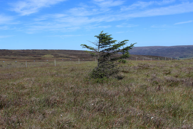
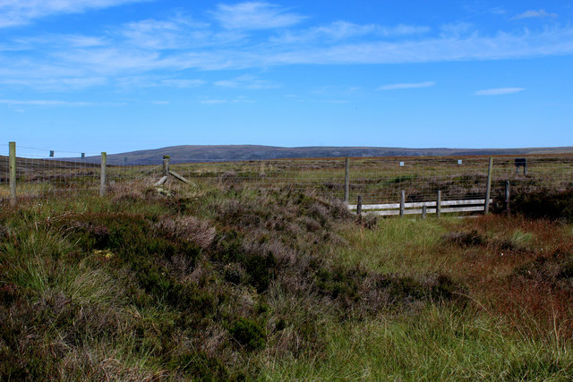
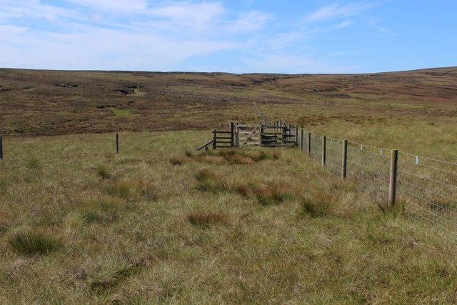
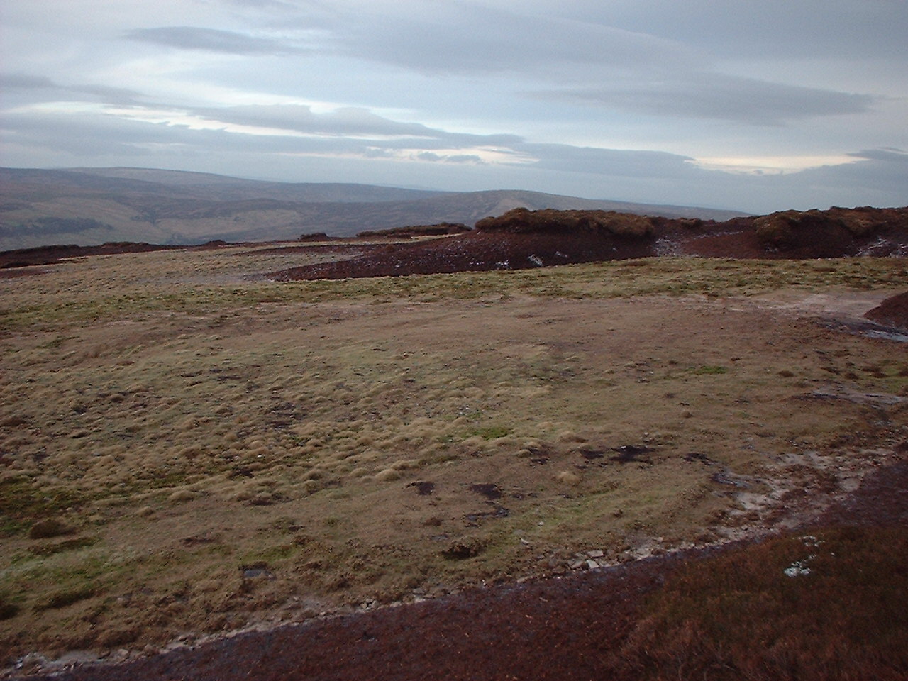
Black Clough Images

Images are sourced within 2km of 53.954243/-2.610238 or Grid Reference SD6051. Thanks to Geograph Open Source API. All images are credited.

Grouse Butt, Higher Dry Clough Grouse butt used as a hide / wind break for grouse shooting. This particular one is lower down the hillside than the series of grouse butts indicated on the 1:25k OS map.
Grouse Butt, Higher Dry Clough
Grouse butt used as a hide / wind break for grouse shooting. This particular one is lower down the hillside than the series of grouse butts indicated on the 1:25k OS map.
Shelter on the Flanks of Hawthornthwaite Fell The shooting track terminates at this rudimentary shelter.
Those walking towards the summit of Hawthornthwaite Fell need to negotiate virgin moorland of mixed vegetation including heather, tussocks, bog plants and peat country.
Shelter on the Flanks of Hawthornthwaite Fell
The shooting track terminates at this rudimentary shelter. Those walking towards the summit of Hawthornthwaite Fell need to negotiate virgin moorland of mixed vegetation including heather, tussocks, bog plants and peat country.
Peat Formations on Langden Head Peat groughs and haggs on the broad ridge east of Hawthornthwaite Fell Top
Peat Formations on Langden Head
Peat groughs and haggs on the broad ridge east of Hawthornthwaite Fell Top
More Peat Formations on Langden Head A peat landscape on the broad ridge east of Hawthornthwaite Fell Top
More Peat Formations on Langden Head
A peat landscape on the broad ridge east of Hawthornthwaite Fell Top
Boundary Fence on Langden Head Heading west towards Hawthornthwaite Fell Top
Boundary Fence on Langden Head
Heading west towards Hawthornthwaite Fell Top
Moorland above Dead Man's Stake Clough Sweeping and tractless moorland
Moorland above Dead Man's Stake Clough
Sweeping and tractless moorland
Moorland above Stake Clough
Boundary Fence on Lingy Pits The fence heading across lonely peat moor towards Hawthornthwaite Fell Top
Boundary Fence on Lingy Pits
The fence heading across lonely peat moor towards Hawthornthwaite Fell Top
On Lingy Pits Lonely moorland in the form of peat groughs and haggs crossed by a boundary fence
On Lingy Pits
Lonely moorland in the form of peat groughs and haggs crossed by a boundary fence
Solitary Conifer on Lingy Pits The only tree in sight.
Closer examination reveals it is probably a Norwegian Spruce.
Solitary Conifer on Lingy Pits
The only tree in sight. Closer examination reveals it is probably a Norwegian Spruce.
Black Clough Head On the broad ridge between Hawthornthwaite Fell Top and Blaze Moss, are these peat features on Black Clough Head.
There are two minor watercourses issuing from here, one to the north - the other to the south. Both are called Black Clough, which is rather confusing.
The northern one feeds the River Wyre, and the southern eventually finds its way into the Ribble.
Black Clough Head
On the broad ridge between Hawthornthwaite Fell Top and Blaze Moss, are these peat features on Black Clough Head. There are two minor watercourses issuing from here, one to the north - the other to the south. Both are called Black Clough, which is rather confusing. The northern one feeds the River Wyre, and the southern eventually finds its way into the Ribble.
Fences and Gate on Black Clough Head
Shooting Track heading for Marshaw Well maintained track heading for Trough Road and the Marshaw Wyre
Shooting Track heading for Marshaw
Well maintained track heading for Trough Road and the Marshaw Wyre
Shooting Track heading for Black Clough
Langden Brook
Langden Brook
Langden Castle OS map days "Langden Castle (ruin)" but it's not a castle and it's not a ruin.  Probably originally a shooting lodge.  not sure what it's used for now but it's well secured.
Langden Castle
OS map days "Langden Castle (ruin)" but it's not a castle and it's not a ruin. Probably originally a shooting lodge. not sure what it's used for now but it's well secured.
The path towards Fiendsdale Head Peaks and Northern Footpaths Society signpost no. 418
The path towards Fiendsdale Head
Peaks and Northern Footpaths Society signpost no. 418
Fiendsdale meanders Fiendsdale Water meanders before it joins Langden Beck.
Fiendsdale meanders
Fiendsdale Water meanders before it joins Langden Beck.
Show me another place!

Black Clough is located at Grid Ref: SD6051 (Lat: 53.954243, Lng: -2.610238)

Division: West Riding

Administrative County: Lancashire

District: Ribble Valley

Police Authority: Lancashire

What 3 Words

///pound.waking.snuck. Near Bay Horse, Lancashire

Nearby Locations

Black Clough Holdron Moss

Related Wikis

Forest of Bowland

The Forest of Bowland, also known as the Bowland Fells and formerly the Chase of Bowland, is an area of gritstone fells, deep valleys and peat moorland...

National nature reserves in Lancashire

National nature reserves in Lancashire in England are established by Natural England. There are two national nature reserves in Lancashire, both of which...

Hawthornthwaite Fell

Hawthornthwaite Fell is one of the larger hills in the Forest of Bowland in the north west of England. Hawthornthwaite Fell marks the extreme western limit...

Grey Stone of Trough

The Grey Stone of Trough is an historic boundary marker in Bowland Forest High, in the Trough of Bowland, Lancashire, England. A Grade II listed structure...

Trough of Bowland

The Trough of Bowland is a valley and high pass in the Forest of Bowland Area of Outstanding Natural Beauty, Lancashire, England. The pass, reaching 968...

Sykes Smelt Mill

Sykes Smelt Mill was a mediaeval mill located between Sykes and Hareden in Bowland Forest High, Lancashire, England. It stood on the banks of Langden Brook...

Abbeystead House

Abbeystead House is a large country house to the east of the village of Abbeystead, Lancashire, England, some 12 km (7 miles) south-east of Lancaster....

William Molyneux, 4th Earl of Sefton

William Philip Molyneux, 4th Earl of Sefton, (14 October 1835 – 27 June 1897) was a British peer. == Biography == Born Viscount Molyneux, he was the eldest...

Nearby Amenities

Located within 500m of 53.954243,-2.610238
Description: Warning about damaging blanket bog on Holdron Moss
Information: warning
Tourism: information
Lat/Long: 53.9558717/-2.6135306
Black Clough Head
Place: locality
Lat/Long: 53.9555931/-2.6133943
The data included in this document is from www.openstreetmap.org. The data is made available under ODbL.

Have you been to Black Clough?

Leave your review of Black Clough below (or comments, questions and feedback).