Freestone Cleuch

Valley in Roxburghshire

Scotland

Freestone Cleuch

Lurgies Burn from the air The burn runs between Pike Fell on the left and Templehall Hill on the right.
Lurgies Burn from the air Credit: Thomas Nugent

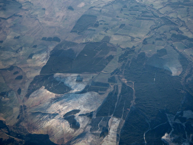
Freestone Cleuch is a picturesque valley located in the county of Roxburghshire, Scotland. Nestled amidst the rolling hills of the Scottish Borders, this enchanting valley is renowned for its stunning natural beauty and rich historical significance.

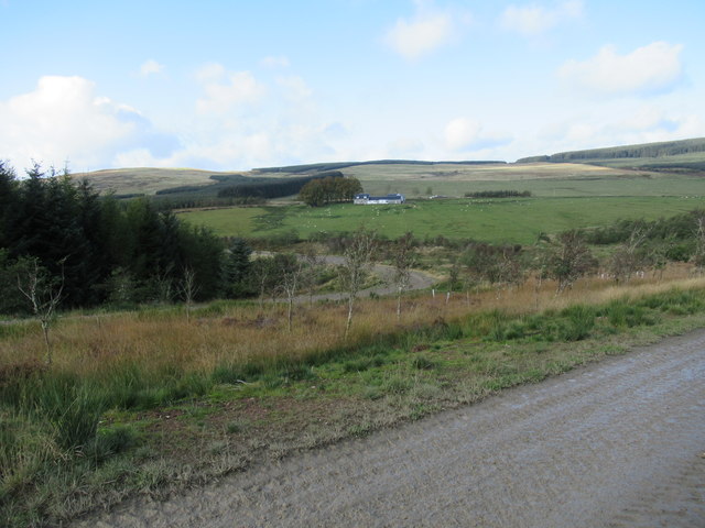
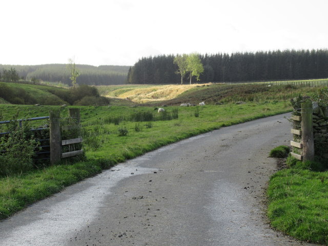
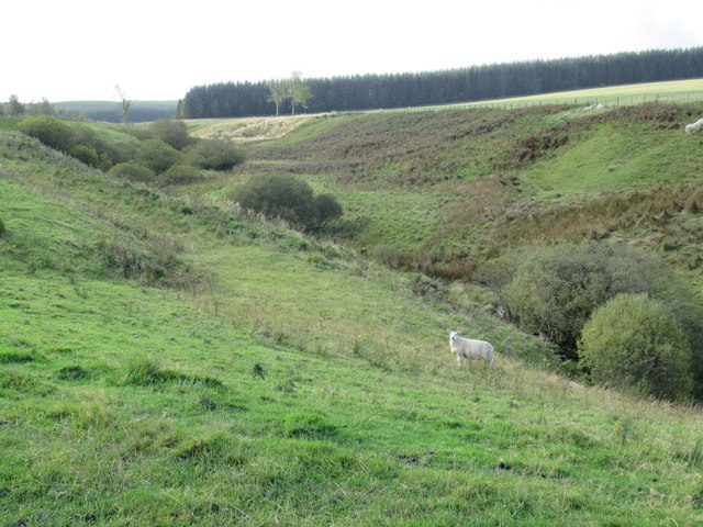
The name "Freestone Cleuch" is derived from the Scots term "cleuch," meaning a narrow valley or ravine. The valley itself is characterized by its lush green meadows, meandering streams, and towering hills that provide a dramatic backdrop. It is a haven for nature lovers and outdoor enthusiasts, offering numerous walking trails and opportunities for wildlife spotting.

The history of Freestone Cleuch dates back centuries, with evidence of human habitation found in the form of ancient burial sites and stone circles. The valley was once home to a thriving farming community, and remnants of traditional stone cottages can still be seen today.

One of the notable features of Freestone Cleuch is the presence of a ruined medieval tower, known as Freestone Tower. Believed to have been built in the 16th century, the tower stands as a reminder of the area's turbulent past. It is a popular attraction for history buffs and visitors looking to explore the valley's historical heritage.

In addition to its natural and historical significance, Freestone Cleuch is also known for its tranquility and sense of serenity. The peaceful atmosphere and breathtaking scenery make it an ideal destination for those seeking a retreat from the hustle and bustle of city life.

Overall, Freestone Cleuch is a hidden gem in Roxburghshire, offering a unique blend of natural beauty, historical charm, and a peaceful ambiance that is sure to captivate all who visit.

If you have any feedback on the listing, please let us know in the comments section below.

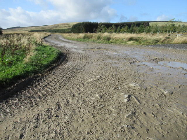
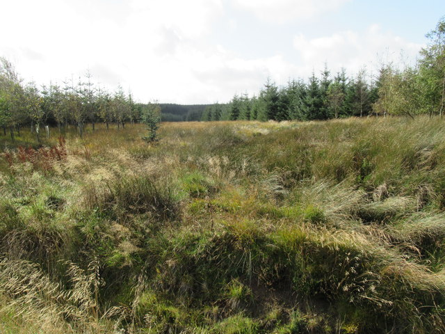
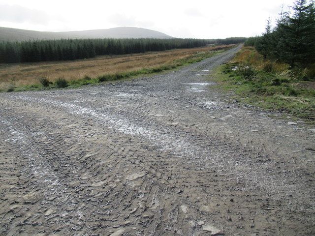
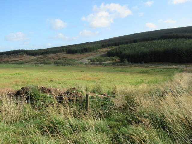
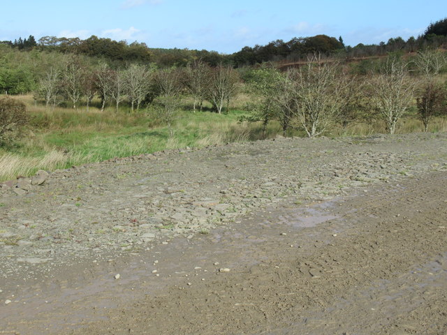
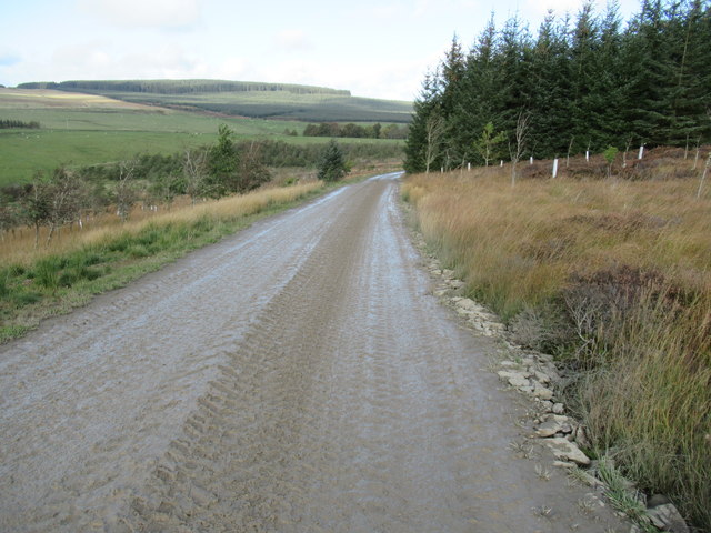
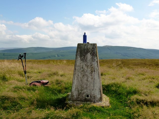
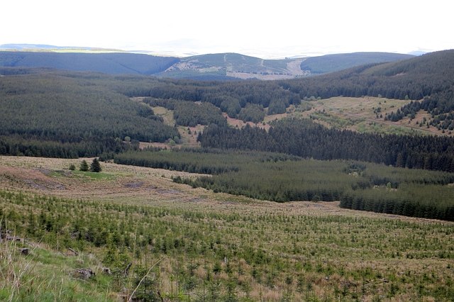
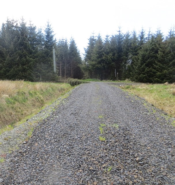
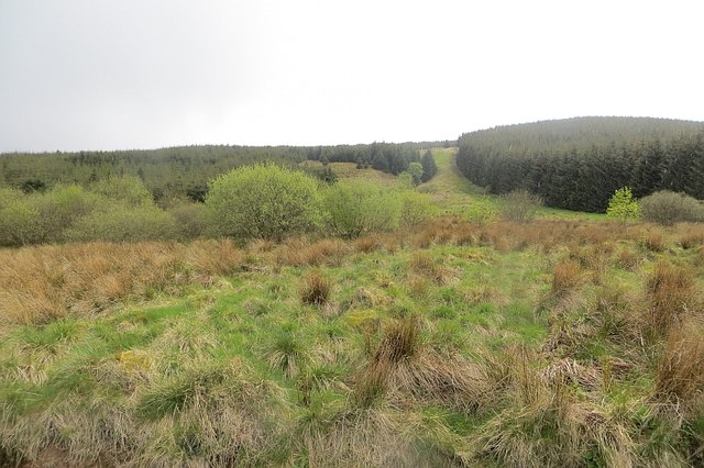
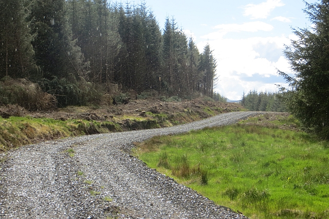
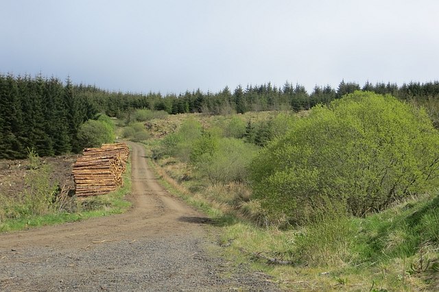
Freestone Cleuch Images

Images are sourced within 2km of 55.340581/-2.7084412 or Grid Reference NT5505. Thanks to Geograph Open Source API. All images are credited.

Lurgies Burn from the air The burn runs between Pike Fell on the left and Templehall Hill on the right.
Lurgies Burn from the air
The burn runs between Pike Fell on the left and Templehall Hill on the right.
Lurgiescleuch near Hobkirk I hurried on - unsure of which lurgie it was but taking no chances!
Lurgiescleuch near Hobkirk
I hurried on - unsure of which lurgie it was but taking no chances!
Lurgiescleuch road crossing Pines Burn by causeway Beautifully surfaced road all the way to this remote dwelling.
Lurgiescleuch road crossing Pines Burn by causeway
Beautifully surfaced road all the way to this remote dwelling.
Whisky through the rocks near Hobkirk Culvert under the roadway.
Whisky through the rocks near Hobkirk
Culvert under the roadway.
Course of Pines Burn in the Scottish Borders
Bend in new track at Lurgiescleuch near Hobkirk
Break in forestry near Lurgiescleuch
New track near Lurgiescleuch by Hobkirk in the Scottish Borders
New track crossing Lurgies Burn by causeway
In the course of Lurgies Burn above Harwood in the Scottish Borders
New track south side of Lurgies Burn near Hobkirk
Pike Fell Through gate near old cabin. Next gate midway. Found gates at SE end of top field.  Five HuMP on a sunny Sunday in August.
Name: Pike Fell
Hill number: 5126
Height: 400m / 1312ft
Area: 28B: The River Tweed to the English Border
Class: Hu
Grid ref: NT 53490 06361
Summit feature: trig point
Drop: 125m
Col: 275m  NT542047
Pike Fell
Through gate near old cabin. Next gate midway. Found gates at SE end of top field. Five HuMP on a sunny Sunday in August. Name: Pike Fell Hill number: 5126 Height: 400m / 1312ft Area: 28B: The River Tweed to the English Border Class: Hu Grid ref: NT 53490 06361 Summit feature: trig point Drop: 125m Col: 275m NT542047
Border Counties Rally in progress on forest track near Wyndburgh Hill
Hawklawtongues Remains of a farm amongst another generation of Sitka spruce.
Hawklawtongues
Remains of a farm amongst another generation of Sitka spruce.
New road, Wauchope Forest A recently constructed logging road.  The picture is cropped to get rid of a big rain spot.
New road, Wauchope Forest
A recently constructed logging road. The picture is cropped to get rid of a big rain spot.
Cooper's Cleuch Some of Wauchope Forest has been left to grow wild.
Cooper's Cleuch
Some of Wauchope Forest has been left to grow wild.
New road, Wauchope Forest This recently built logging road follows a former ride (grass strip, right).
New road, Wauchope Forest
This recently built logging road follows a former ride (grass strip, right).
Logging road, Wauchope Forest Log piles beside the long road running from the north, and oldest planted part of the forest, to Riccarton Junction.
Logging road, Wauchope Forest
Log piles beside the long road running from the north, and oldest planted part of the forest, to Riccarton Junction.
Show me another place!

Freestone Cleuch is located at Grid Ref: NT5505 (Lat: 55.340581, Lng: -2.7084412)

Unitary Authority: The Scottish Borders

Police Authority: The Lothians and Scottish Borders

What 3 Words

///commuting.captive.ranged. Near Hawick, Scottish Borders

Related Wikis

Shankend railway station

Shankend railway station served the hamlet of Shankend, Scottish Borders, Scotland from 1862 to 1969 on the Border Union Railway. == History == The station...

Shankend

Shankend Manor was a sixteenth-century mansion located some six miles (ten kilometres) south of Hawick, close to Whitrope Siding in Scotland. It was constructed...

Wauchope, Scottish Borders

Wauchope is a hamlet in the Scottish Borders council area of Scotland, near Southdean. Wauchope House was demolished in 1932. == See also == Wauchope Forest...

Wauchope Forest

Wauchope Forest is a forest on the Rule Water, in the Scottish Borders area of Scotland, south of Hawick, and including the A6088, the A68 and the B6357...

Have you been to Freestone Cleuch?

Leave your review of Freestone Cleuch below (or comments, questions and feedback).