The Coombe

Valley in Gloucestershire Forest of Dean

England

The Coombe

Modern housing estate
Modern housing estate Credit: Row17

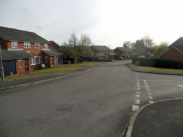
The Coombe is a picturesque valley located in Gloucestershire, England. Situated in the southern part of the county, it is known for its stunning natural beauty and tranquil surroundings. The valley is nestled between rolling hills and is renowned for its lush greenery and diverse wildlife.

At the heart of The Coombe is a small, charming village that boasts a rich history dating back centuries. The village is characterized by its traditional stone cottages, which add to its quaint and idyllic charm. The local community is tight-knit and welcoming, making it a popular destination for visitors seeking a peaceful retreat.

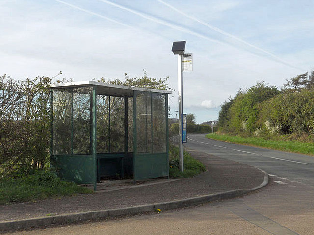
The Coombe is home to a variety of outdoor activities, making it a haven for nature enthusiasts. The valley offers numerous walking trails, allowing visitors to explore the stunning countryside and enjoy breathtaking views. Wildlife lovers will be delighted by the abundance of bird species, small mammals, and wildflowers that call The Coombe home.

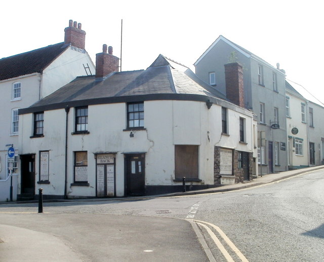
In addition to its natural wonders, The Coombe is also home to a few historic landmarks. There is a beautiful medieval church that stands as a testament to the area's rich heritage. Visitors can also discover remnants of old stone walls and ruins, which offer glimpses into the valley's past.

Overall, The Coombe in Gloucestershire is a captivating destination that combines natural beauty with historical charm. Its peaceful atmosphere and diverse range of activities make it an ideal spot for those seeking a tranquil escape in the heart of the English countryside.

If you have any feedback on the listing, please let us know in the comments section below.
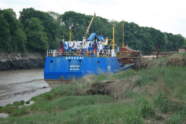
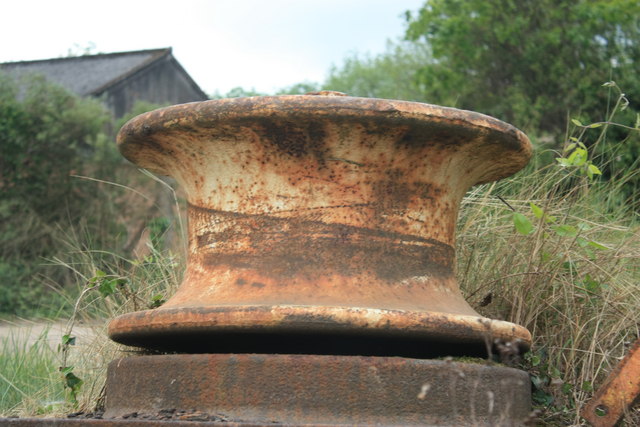
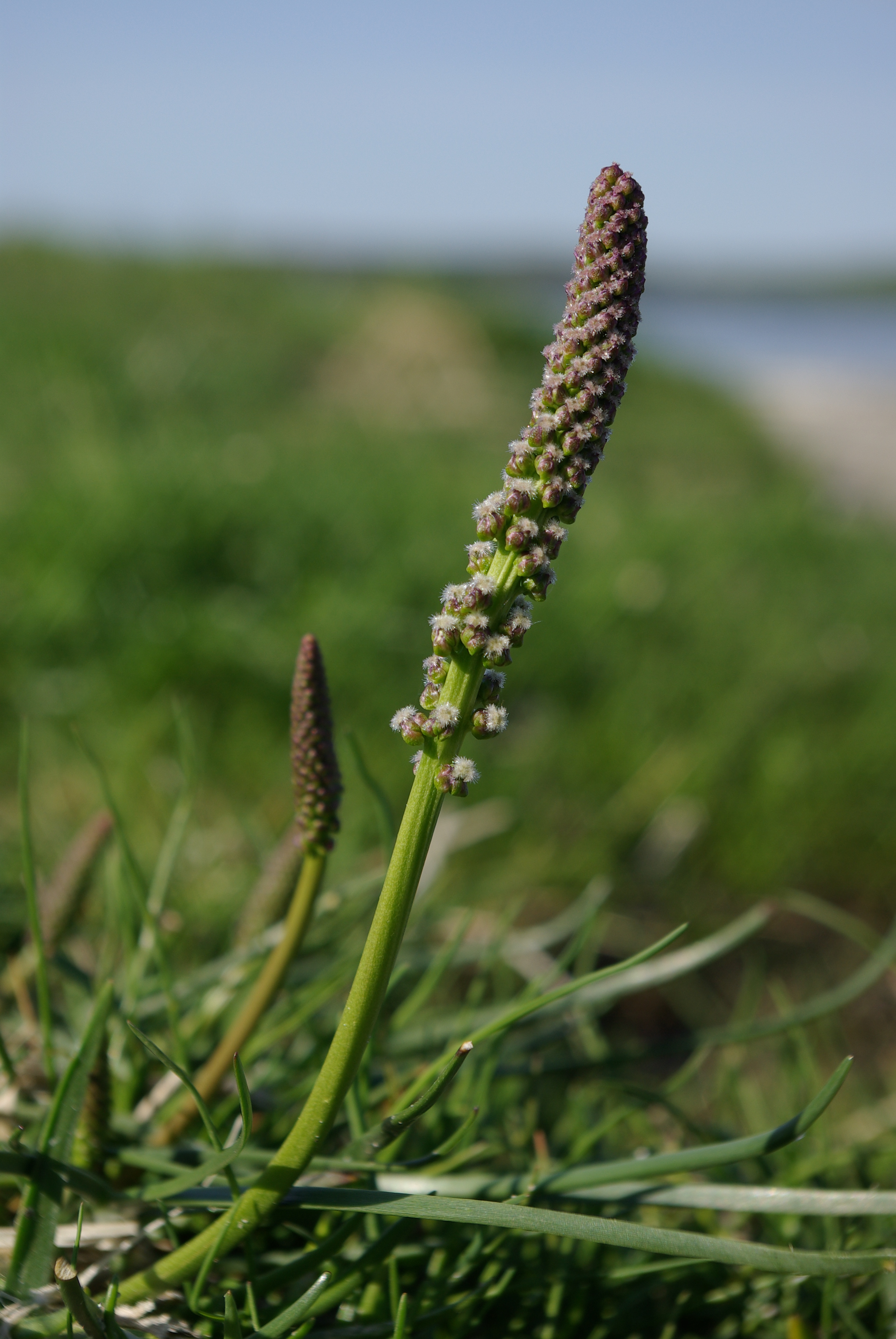
The Coombe Images

Images are sourced within 2km of 51.633967/-2.6491577 or Grid Reference ST5592. Thanks to Geograph Open Source API. All images are credited.

Modern housing estate
Bus stop with no one waiting
Church of St John the Evangelist
Former Glance Back shop, Chepstow Located on the corner of Middle Street and Upper Church Street, viewed from Bridge Street. The shop closed on October 31st 2004, when the owners decided to focus entirely on an Internet presence. Glance Back had opened here in 1983, dealing in antiquarian and secondhand books, and a variety of collectables such as stamps, banknotes, coins, tokens, medals and badges.
Former Glance Back shop, Chepstow
Located on the corner of Middle Street and Upper Church Street, viewed from Bridge Street. The shop closed on October 31st 2004, when the owners decided to focus entirely on an Internet presence. Glance Back had opened here in 1983, dealing in antiquarian and secondhand books, and a variety of collectables such as stamps, banknotes, coins, tokens, medals and badges.
Chepstow bandstand decked out for the wedding of Prince William and Kate Middleton
Buffer Wharf Chepstow Arga Bay waiting to unload alongside Buffer Wharf on the River Wye at Chepstow
Buffer Wharf Chepstow
Arga Bay waiting to unload alongside Buffer Wharf on the River Wye at Chepstow
A Sheave at Buffers Wharf A grooved pulley wheel like that used for ropes is called a sheave. A single sheave mounted in a block and fixed in place simply changes the direction of force exerted on the rope passing over it.
A Sheave at Buffers Wharf
A grooved pulley wheel like that used for ropes is called a sheave. A single sheave mounted in a block and fixed in place simply changes the direction of force exerted on the rope passing over it.
Warren slade woods The footpath through Warren slade woods at the top of bluebell drive in Bulwark.
Warren slade woods
The footpath through Warren slade woods at the top of bluebell drive in Bulwark.
Restway Wall, Garden City Way, Chepstow Part of a complex of retirement properties.
Restway Wall, Garden City Way, Chepstow
Part of a complex of retirement properties.
Portwall Road, Garden City, Chepstow
Daisies decorate Piggies Hill, Garden City, Chepstow
Junction of Hardwick Avenue, Rockwood Road and Garden City Way, Chepstow
Start of footpath from Rockwood Road to Wye Crescent, Garden City, Chepstow
Local snow Snow at Warren slade woods, bulwark, Chepstow. Taken on 06/01/2010 at 10:33am.
Local snow
Snow at Warren slade woods, bulwark, Chepstow. Taken on 06/01/2010 at 10:33am.
Snow on Bluebell drive A snowy scene looking down Bluebell drive in bulwark, Chepstow on 06/01/2010
Snow on Bluebell drive
A snowy scene looking down Bluebell drive in bulwark, Chepstow on 06/01/2010
Railway slippage Part of the 3000 tons of rock and stone to stop the railway embankment slipping into the river Wye at bulwark, Chepstow.
Railway slippage
Part of the 3000 tons of rock and stone to stop the railway embankment slipping into the river Wye at bulwark, Chepstow.
River of ice Ice floes on the River Wye at Bulwark, Chepstow.
River of ice
Ice floes on the River Wye at Bulwark, Chepstow.
Garden city A panorama of Garden city in Chepstow most of which was built to house workers that were brought to Chepstow from 1917 to work in the new National Shipyard No.1.
Garden city
A panorama of Garden city in Chepstow most of which was built to house workers that were brought to Chepstow from 1917 to work in the new National Shipyard No.1.
Show me another place!

The Coombe is located at Grid Ref: ST5592 (Lat: 51.633967, Lng: -2.6491577)

Administrative County: Gloucestershire

District: Forest of Dean

Police Authority: Gloucestershire

What 3 Words

///craters.squirted.upgrading. Near Chepstow, Monmouthshire

Nearby Locations

Slimeroad Pill The Coombe

Related Wikis

Sedbury

Sedbury is a village in the Forest of Dean district of west Gloucestershire, England. It is located on the eastern bank of the River Wye, facing the town...

Fossil Beach (Sedbury Cliffs)

Fossil Beach, at Sedbury, Gloucestershire, England, is beneath the Sedbury Cliffs by the River Severn and is known as a rich source of easily discovered...

Pennsylvania Fields, Sedbury

Pennsylvania Fields, Sedbury (grid reference ST542929) is a 27.03-hectare (66.8-acre) biological Site of Special Scientific Interest in Gloucestershire...

Wyedean School

Wyedean School and Sixth Form Centre is a secondary school with academy status in Sedbury, Gloucestershire, England, just across the border from Chepstow...

Nearby Amenities

Located within 500m of 51.633967,-2.6491577
Bus Stop
Buttington Terrace
Naptan AtcoCode: 1600GLF681
Naptan Bearing: N
Naptan CommonName: Buttington Terrace
Naptan Indicator: Opp
Naptan NaptanCode: gloadgdg
Naptan Street: Beachley Rd
Naptan Verified: no
Source: naptan_import
Lat/Long: 51.6340759/-2.6548895
Bus Stop
Buttington Terrace
Naptan AtcoCode: 1600GLF682
Naptan Bearing: S
Naptan CommonName: Buttington Terrace
Naptan NaptanCode: gloadgdm
Naptan Street: Beachley Rd
Naptan Verified: no
Source: naptan_import
Lat/Long: 51.6340137/-2.6547586
Buttington Stone
Access: yes
Archaeological Site: standing_stone
Description: "Standing stone at Offa's Dyke. Re-erected 1977, age unknown. A lump of natural sandstone c 1.5 m high set on roughly circular base of large untrimmed stones set on a natural mound." - Historic England
Historic: archaeological_site
Source: https://historicengland.org.uk/listing/the-list/list-entry/1186659;https://britishlistedbuildings.co.uk/101186659-standing-stone-at-offas-dyke-tidenham
Lat/Long: 51.6346396/-2.6549617
Barrier: kissing_gate
Material: metal
Lat/Long: 51.6346278/-2.6543282
Barrier: kissing_gate
Material: metal
Lat/Long: 51.6339464/-2.6525176
Barrier: kissing_gate
Bicycle: no
Foot: yes
Material: metal
Lat/Long: 51.6345968/-2.6550556
Barrier: kissing_gate
Material: metal
Lat/Long: 51.6335109/-2.6528045
Start / End of Offa's dyke
Historic: monument
Lat/Long: 51.6325694/-2.648378
Barrier: kissing_gate
Material: metal
Lat/Long: 51.6324214/-2.6505622
The Coombe
Note: very conspicuous valley - name from OS historic
Place: locality
Lat/Long: 51.6344658/-2.6495985
Fossil Beach
Description: Fossil-rich beach below Sedbury Cliff, with a marshy and muddy approach from the footpath. Fossils are mostly c. 200 mya and fallen from the top of the eroded cliff, containing Jurassic ammonites, brachiopods and gravel with small crinoid fragments.
Natural: beach
Surface: stone
Wikidata: Q42852311
Wikipedia: en:Fossil Beach (Sedbury Cliffs)
Lat/Long: 51.6347564/-2.6425687
Turning Loop
Lat/Long: 51.6371659/-2.647397
The data included in this document is from www.openstreetmap.org. The data is made available under ODbL.

Have you been to The Coombe?

Leave your review of The Coombe below (or comments, questions and feedback).