Garrow Bottom
Valley in Somerset Mendip
England
Garrow Bottom

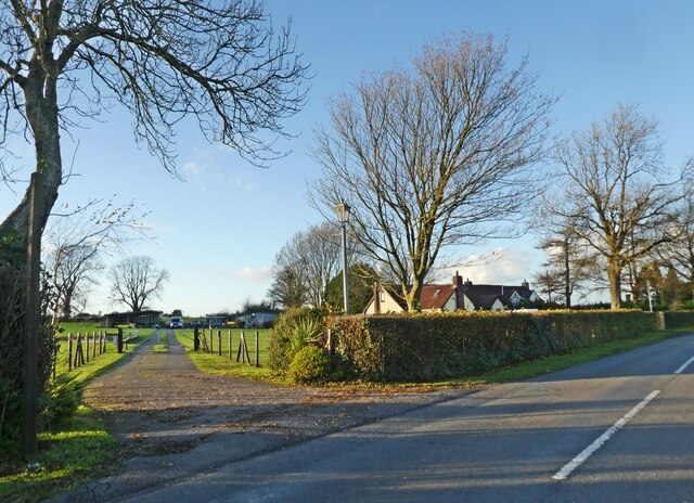
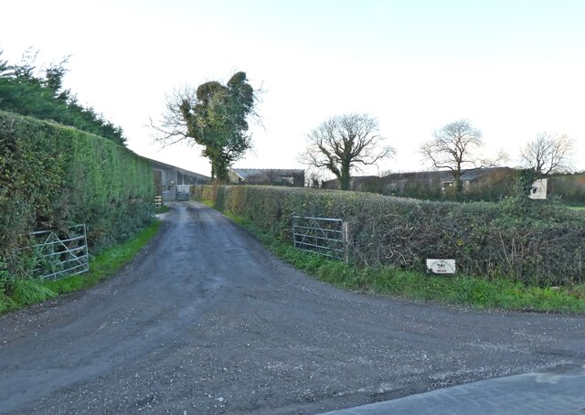
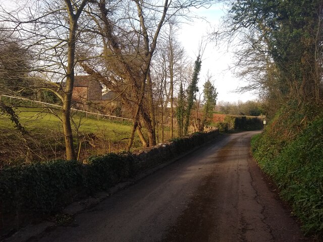
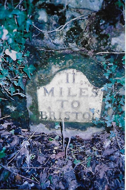
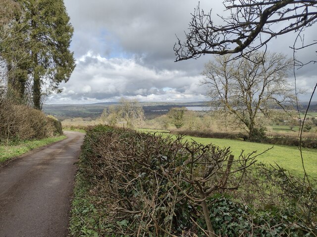
Garrow Bottom is a picturesque valley located in the county of Somerset, England. Nestled between the rolling hills of the Mendip Range, this scenic area is renowned for its natural beauty and tranquil atmosphere. The valley is situated near the village of East Harptree, approximately 10 miles south of Bristol.
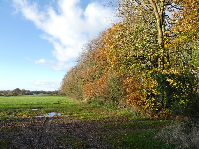
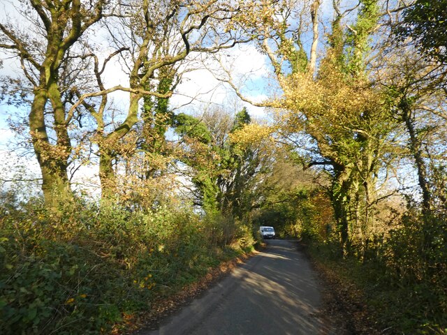
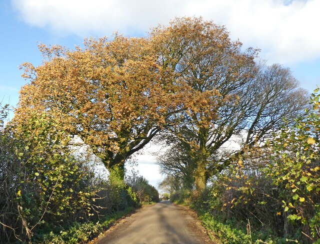
The landscape of Garrow Bottom is characterized by lush green meadows, dense woodlands, and a winding stream that meanders through the valley. The stream, known as Garrow Brook, adds to the charm of the area, providing a peaceful backdrop for visitors and locals alike. The valley is also home to a diverse array of flora and fauna, making it a haven for nature enthusiasts and wildlife lovers.
Garrow Bottom offers numerous walking trails and footpaths, allowing visitors to explore the area's natural wonders. The trails provide stunning views of the surrounding countryside, and hikers can take in the breathtaking vistas from various vantage points along the way. The valley is particularly beautiful during the spring and summer months when wildflowers bloom, and the meadows come alive with vibrant colors.
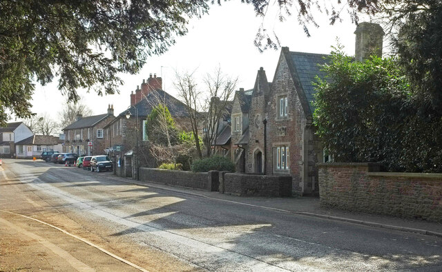
In addition to its natural attractions, Garrow Bottom is home to several historical landmarks. The nearby village of East Harptree boasts a medieval church, St. Laurence, which dates back to the 12th century. This impressive architectural gem is worth a visit for those interested in history and culture.
Overall, Garrow Bottom is a hidden gem in Somerset, offering visitors a chance to escape the hustle and bustle of city life and immerse themselves in the beauty of the countryside.
If you have any feedback on the listing, please let us know in the comments section below.
Garrow Bottom Images
Images are sourced within 2km of 51.292867/-2.6445348 or Grid Reference ST5555. Thanks to Geograph Open Source API. All images are credited.


Garrow Bottom is located at Grid Ref: ST5555 (Lat: 51.292867, Lng: -2.6445348)
Administrative County: Somerset
District: Mendip
Police Authority: Avon and Somerset
What 3 Words
///cracker.bluff.gulped. Near East Harptree, Somerset
Nearby Locations
Related Wikis

Smitham Chimney, East Harptree
Smitham Chimney is a chimney which was used for lead mining just outside the village of East Harptree, in the parish of Priddy, Somerset, England. It is...

Lamb Leer
Lamb Leer (grid reference ST544550) is a 14.59 hectare (36.04 acre) geological Site of Special Scientific Interest between East Harptree and Priddy in...

Harptree Combe
Harptree Combe (grid reference ST561558) is a 13.63-hectare (33.68-acre) Site of Special Scientific Interest (SSSI) near East Harptree notified in 1954...

Richmont Castle
Richmont Castle was an 11th-century motte-and-bailey castle near the village of East Harptree, Somerset, England. Now totally ruined, it once included...
Nearby Amenities
Located within 500m of 51.292867,-2.6445348Have you been to Garrow Bottom?
Leave your review of Garrow Bottom below (or comments, questions and feedback).