West Broomy Cleuch
Valley in Roxburghshire
Scotland
West Broomy Cleuch
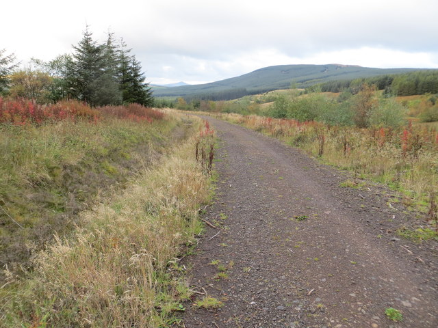
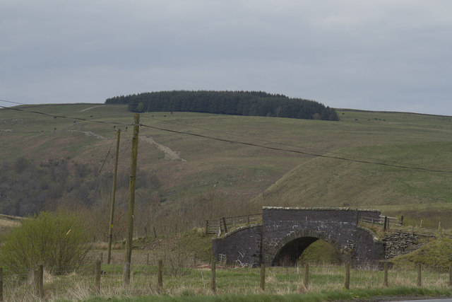
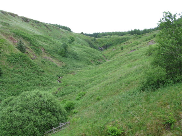
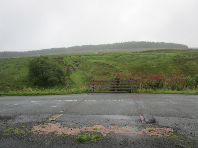
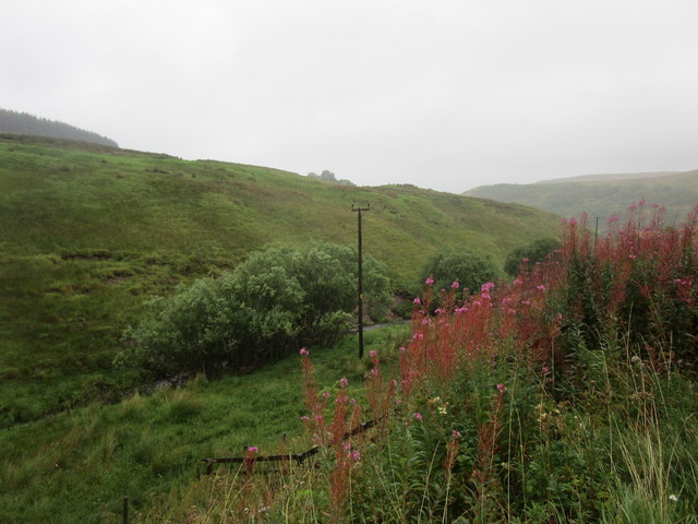
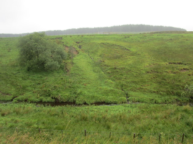
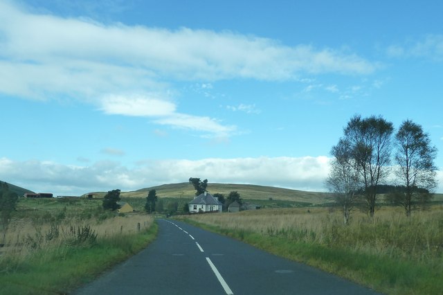
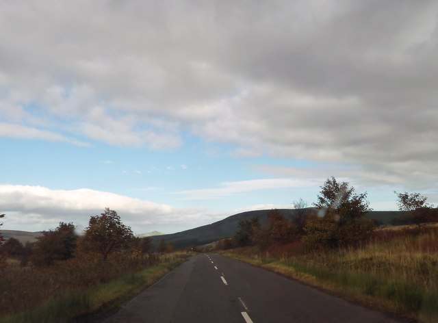
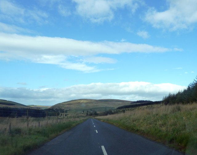
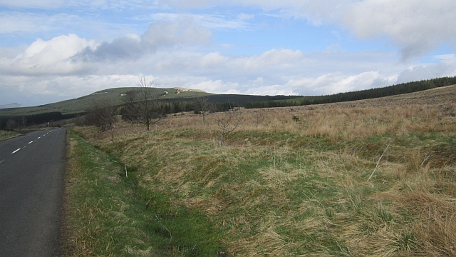
West Broomy Cleuch is a picturesque valley located in Roxburghshire, Scotland. Situated in the southern part of the country, it is known for its breathtaking natural beauty and tranquil atmosphere. The valley is nestled between rolling hills and surrounded by lush greenery, offering visitors a stunning landscape to explore.
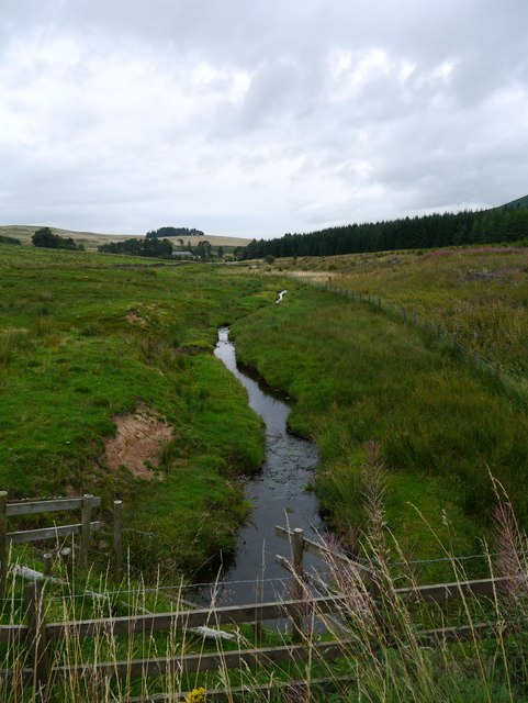
The area is renowned for its diverse wildlife, including numerous species of birds, mammals, and plant life. It is a haven for nature enthusiasts and birdwatchers who can spot a variety of rare and indigenous species in their natural habitat. The valley also features a river that meanders through its heart, adding to its scenic charm.
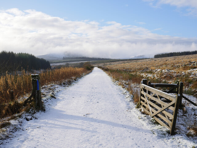
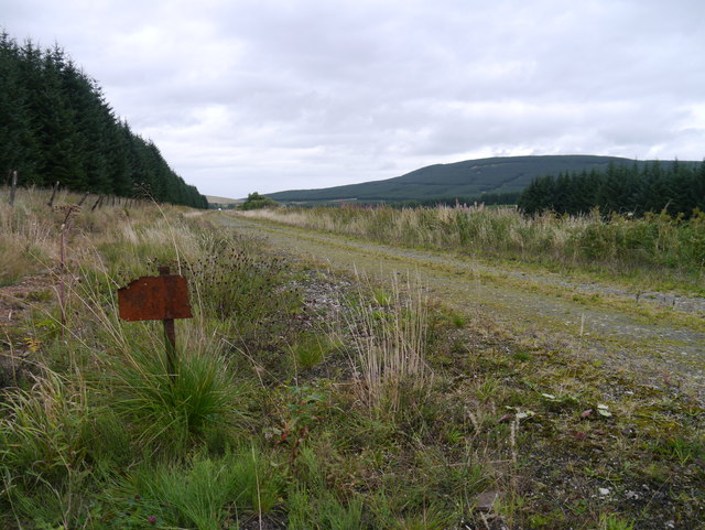
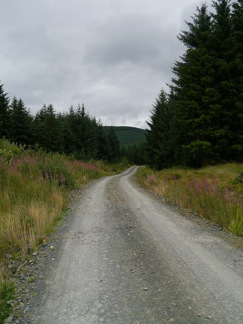
West Broomy Cleuch is an ideal destination for outdoor activities such as hiking, walking, and cycling. The valley boasts several well-marked trails that cater to all levels of fitness and experience. These paths wind through the valley, offering stunning views of the surrounding countryside and allowing visitors to fully immerse themselves in the natural splendor of the area.
For those seeking a peaceful escape from the hustle and bustle of everyday life, West Broomy Cleuch provides a serene retreat. The valley is a popular spot for picnicking and relaxation, with ample green spaces and benches available.
Overall, West Broomy Cleuch is a hidden gem in Roxburghshire, offering visitors a chance to reconnect with nature and enjoy the tranquility of this idyllic valley.
If you have any feedback on the listing, please let us know in the comments section below.
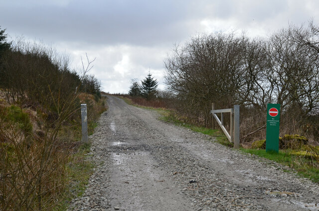
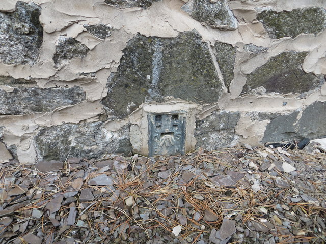
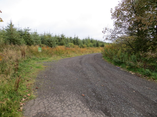
West Broomy Cleuch Images
Images are sourced within 2km of 55.31805/-2.7214174 or Grid Reference NT5402. Thanks to Geograph Open Source API. All images are credited.

West Broomy Cleuch is located at Grid Ref: NT5402 (Lat: 55.31805, Lng: -2.7214174)
Unitary Authority: The Scottish Borders
Police Authority: The Lothians and Scottish Borders
What 3 Words
///claps.backpacks.safety. Near Hawick, Scottish Borders
Nearby Locations
Related Wikis
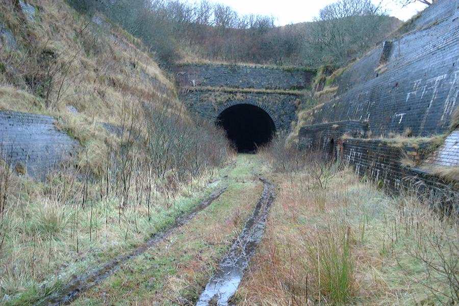
Whitrope Tunnel
The Whitrope Tunnel is a disused railway tunnel in the Scottish Borders, situated 12 miles (19 km) south of Hawick on the Waverley Route, close to Whitrope...
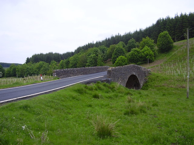
Whitrope
Whitrope is a densely forested, but sparsely populated area, high in the Southern Upland hills in the south central Scottish Borders in the former county...

Waverley Route Heritage Association
Waverley Route Heritage Association is a heritage railway group involved with the history, heritage and preservation of the Waverley Route, based/centred...
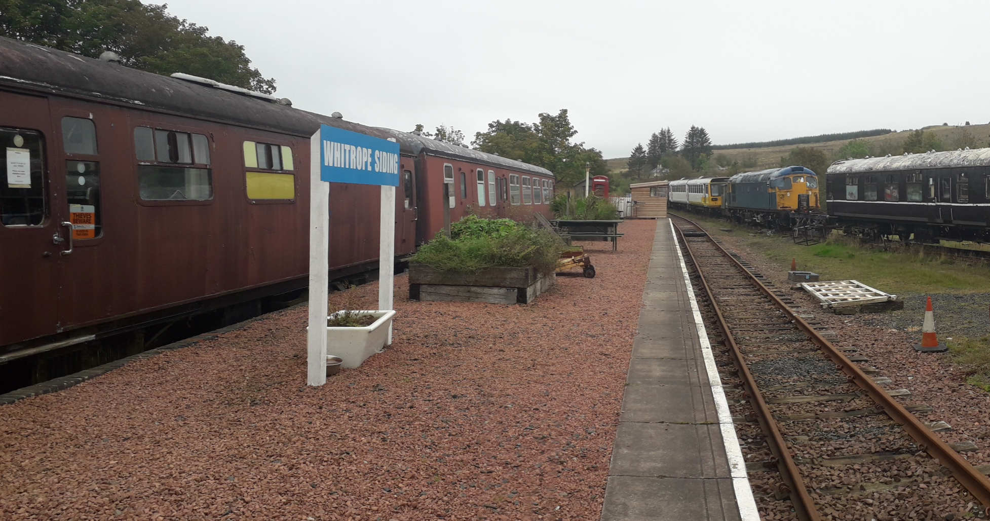
Whitrope Siding
Whitrope Siding was a trailing short siding or spur off the "up" (southbound) line, an associated trailing cross-over between up and down lines, a pair...
Have you been to West Broomy Cleuch?
Leave your review of West Broomy Cleuch below (or comments, questions and feedback).