Gallows Clough

Valley in Lancashire Lancaster

England

Gallows Clough

Horse and cows In the fields near Belvidere House Farm. The moors at the head of Wyresdale on the skyline.
Horse and cows Credit: Oliver Dixon

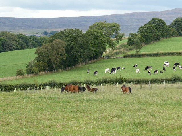
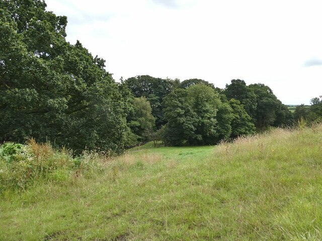
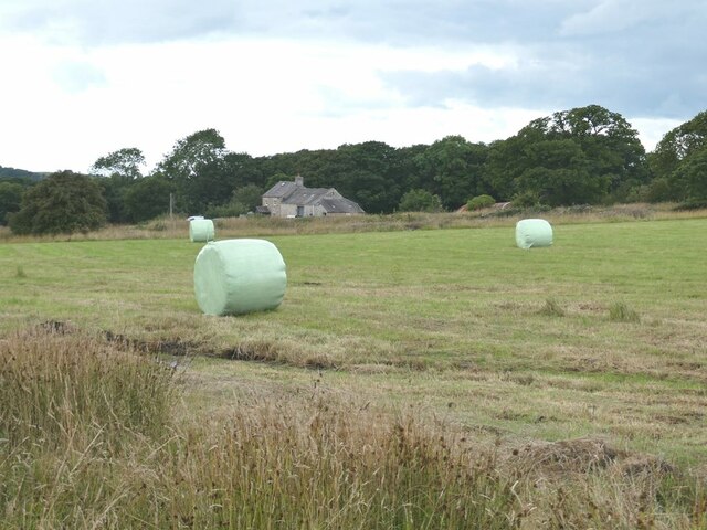
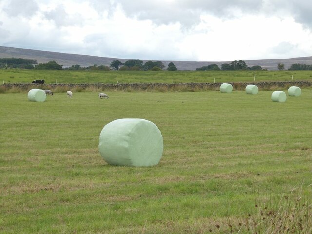
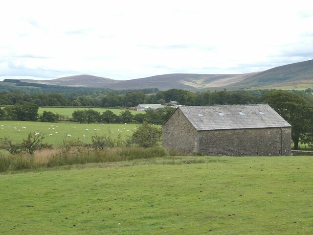
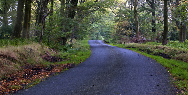
Gallows Clough is a picturesque valley located in the county of Lancashire, England. Nestled within the larger region of the South Pennines, this tranquil valley offers a unique blend of natural beauty and historical significance.

The name "Gallows Clough" is derived from its dark past, as it was once the site of public executions during the 18th and 19th centuries. However, today it stands as a peaceful and serene location, attracting both locals and tourists alike.

Surrounded by rolling hills and lush greenery, Gallows Clough boasts a diverse range of flora and fauna, making it a haven for nature enthusiasts. The valley is home to an array of wildlife, including birds, rabbits, and deer, further enhancing its appeal to visitors seeking a tranquil retreat.

The valley is crisscrossed by a network of walking trails, allowing visitors to explore its natural wonders at their own pace. These paths offer breathtaking views of the surrounding countryside, with the valley itself serving as a stunning backdrop.

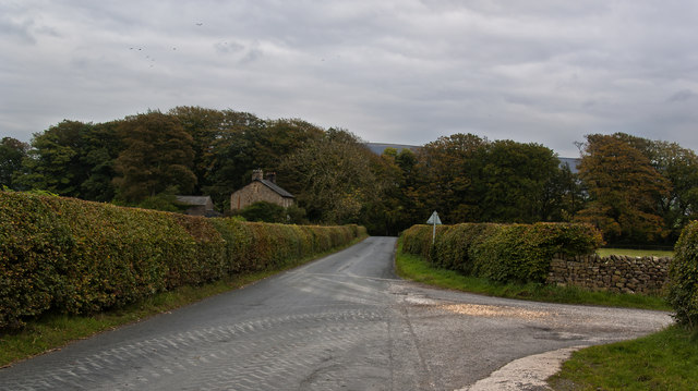
Additionally, Gallows Clough is in close proximity to several charming villages, providing opportunities for visitors to immerse themselves in the local culture and indulge in traditional cuisine. The valley is also within reach of larger towns and cities, ensuring that visitors have access to modern amenities and accommodations.

Overall, Gallows Clough, Lancashire, is a hidden gem that combines natural beauty with a rich history. Its idyllic setting and peaceful atmosphere make it an ideal destination for those seeking a tranquil escape from the hustle and bustle of everyday life.

If you have any feedback on the listing, please let us know in the comments section below.

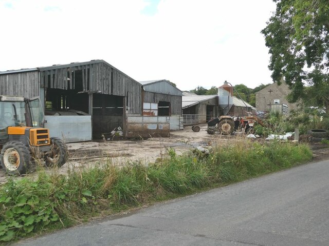
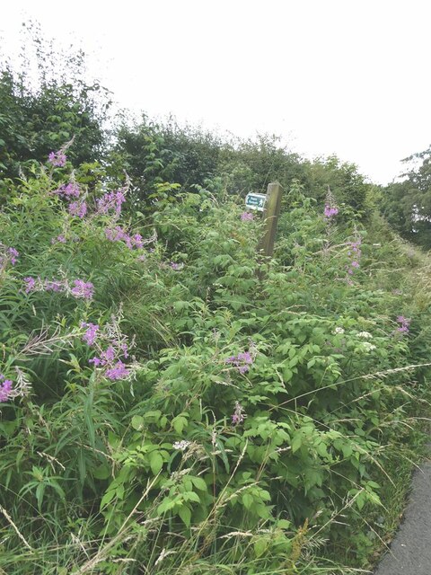
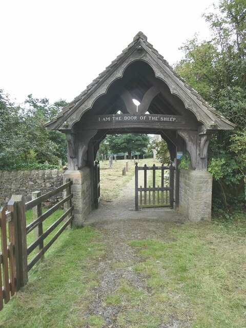
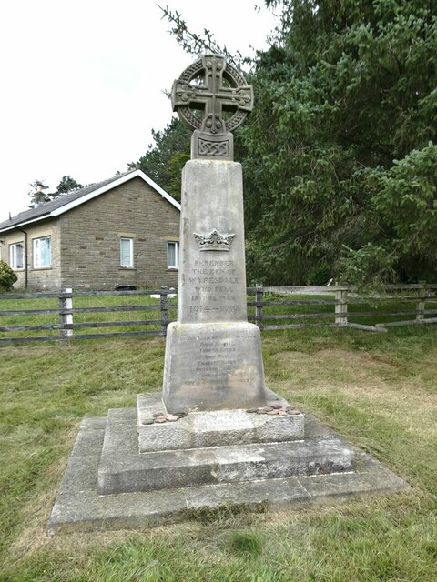
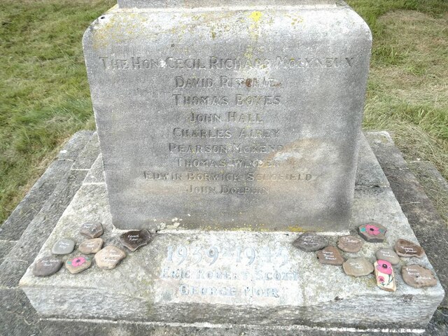
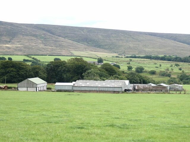
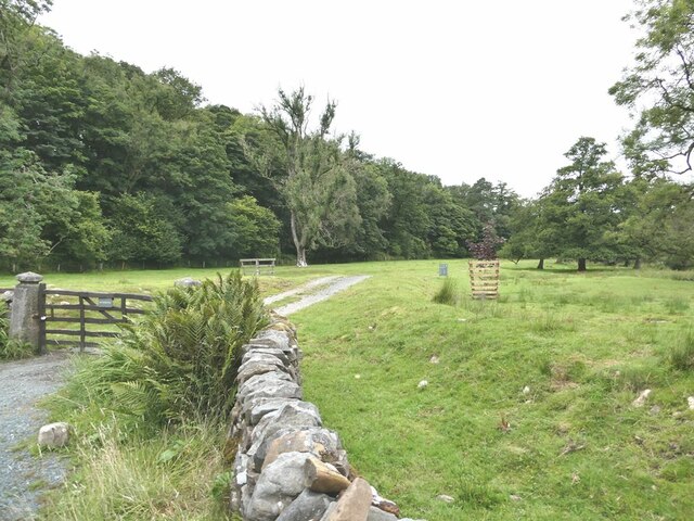
Gallows Clough Images

Images are sourced within 2km of 53.982949/-2.6979444 or Grid Reference SD5454. Thanks to Geograph Open Source API. All images are credited.

Horse and cows In the fields near Belvidere House Farm. The moors at the head of Wyresdale on the skyline.
Horse and cows
In the fields near Belvidere House Farm. The moors at the head of Wyresdale on the skyline.
Valley of the Damas Gill Wooded valley, tributary of the River Wyre.
Valley of the Damas Gill
Wooded valley, tributary of the River Wyre.
Higher Caw House Farm Field with bales in the foreground.
Higher Caw House Farm
Field with bales in the foreground.
Field with bales Near Higher Caw House Farm. The moors of the Forest of Bowland on the skyline.
Field with bales
Near Higher Caw House Farm. The moors of the Forest of Bowland on the skyline.
Farmyard at Lower Caw House Farm Beside Trough Road.
Farmyard at Lower Caw House Farm
Beside Trough Road.
Lost footpath Right from the go, the footpath to Lentworth Hall Farm looks like a non-starter.
Lost footpath
Right from the go, the footpath to Lentworth Hall Farm looks like a non-starter.
Lychgate to Christ Church, Upper Wyresdale Over the gate, the cryptic saying of Our Lord "I am the door of the sheep" (St John's Gospel, chapter 10, verse 7).
Lychgate to Christ Church, Upper Wyresdale
Over the gate, the cryptic saying of Our Lord "I am the door of the sheep" (St John's Gospel, chapter 10, verse 7).
Barn below Christ Church, Upper Wyresdale Further away, Far House Barn Farm. The fells at the head of Wyresdale on the skyline.
Barn below Christ Church, Upper Wyresdale
Further away, Far House Barn Farm. The fells at the head of Wyresdale on the skyline.
Upper Wyresdale War Memorial By the entrance to Christ Church. The main column bears the names of those killed in World War 1, with those from World War 2 added at the base.
Upper Wyresdale War Memorial
By the entrance to Christ Church. The main column bears the names of those killed in World War 1, with those from World War 2 added at the base.
Upper Wyresdale War Memorial (detail) By the entrance to Christ Church. The main column bears the names of those killed in World War 1, with those from World War 2 added at the base. Around the base are painted pebbles bearing the names of the dead - although there doesn't seem to be complete correspondence with those named on the memorial.
Upper Wyresdale War Memorial (detail)
By the entrance to Christ Church. The main column bears the names of those killed in World War 1, with those from World War 2 added at the base. Around the base are painted pebbles bearing the names of the dead - although there doesn't seem to be complete correspondence with those named on the memorial.
Far House Barn Farm The fells of the southern part of the Forest of Bowland on the skyline.
Far House Barn Farm
The fells of the southern part of the Forest of Bowland on the skyline.
Estate road at Abbeystead
Damas Gill - looking under the Bridge
The track by Smithy Beck
Plantation Lane
Plantation Lane
Abbeystead Lane
Abbeystead Lane
Stoops Bridge
Stoops Bridge
Damas Gill Bridge
Damas Gill Bridge
Show me another place!

Gallows Clough is located at Grid Ref: SD5454 (Lat: 53.982949, Lng: -2.6979444)

Administrative County: Lancashire

District: Lancaster

Police Authority: Lancashire

What 3 Words

///sketch.chairing.music. Near Bay Horse, Lancashire

Nearby Locations

Cross Hill Gallows Clough

Related Wikis

Christ Church, Over Wyresdale

Christ Church, Over Wyresdale, stands in an isolated position to the west of the village of Abbeystead, Lancashire, England. The church is recorded in...

Abbeystead disaster

The Abbeystead disaster occurred on the evening of 23 May 1984 when a methane gas explosion destroyed a waterworks' valve house at Abbeystead, Lancashire...

Wyresdale Abbey

Wyresdale Abbey was a short-lived medieval monastic house in Over Wyresdale, Lancashire, England. It was founded around 1170 or a little later and ceased...

Abbeystead

Abbeystead is a small hamlet located in the Forest of Bowland Area of Outstanding Natural Beauty, in Lancashire, England. Abbeystead lies close to the...

Over Wyresdale

Over Wyresdale is a civil parish and a parish of the Church of England in the City of Lancaster in the English county of Lancashire. It has a population...

Abbeystead House

Abbeystead House is a large country house to the east of the village of Abbeystead, Lancashire, England, some 12 km (7 miles) south-east of Lancaster....

William Molyneux, 4th Earl of Sefton

William Philip Molyneux, 4th Earl of Sefton, (14 October 1835 – 27 June 1897) was a British peer. == Biography == Born Viscount Molyneux, he was the eldest...
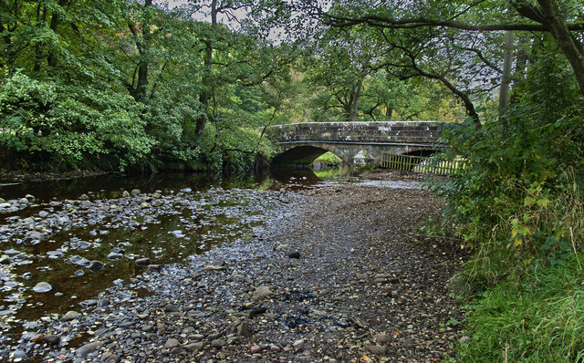
Grizedale Bridge

Grizedale Bridge is a Grade II listed bridge in the English parish of Over Wyresdale, Lancashire. The structure, which dates to the 19th century, carries...

Nearby Amenities

Located within 500m of 53.982949,-2.6979444
Post Box
Collection Times: Mo-Fr 16:00, Sa 07:30
Ref: LA2 173
Lat/Long: 53.9849306/-2.6926776
Barrier: stile
Material: wood
Stile: stepover
Lat/Long: 53.9790566/-2.6951176
Bus Stop
Lentworth Hall
Bench: no
Bus: yes
Naptan AtcoCode: 2500LA00469
Naptan Bearing: W
Naptan CommonName: Lentworth Hall
Naptan Indicator: by
Naptan Landmark: Lentworth Hall
Naptan LocalityCode: E0015932
Naptan NaptanCode: langtagj
Naptan Street: Abbeystead Road
Naptan Verified: yes
Physically Present: no
Public Transport: platform
Ref: langtagj
Shelter: no
Lat/Long: 53.9848848/-2.6929748
Bench
Backrest: yes
Lat/Long: 53.9849168/-2.6927568
Give Way
Direction: forward
Lat/Long: 53.9849949/-2.6928011
Power: substation
Lat/Long: 53.9834582/-2.6992085
Barrier: stile
Material: wood
Stile: ladder
Lat/Long: 53.9848156/-2.6956571
The data included in this document is from www.openstreetmap.org. The data is made available under ODbL.

Have you been to Gallows Clough?

Leave your review of Gallows Clough below (or comments, questions and feedback).