Long Gully
Valley in Dorset
England
Long Gully
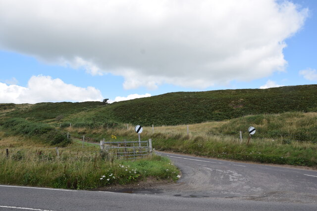
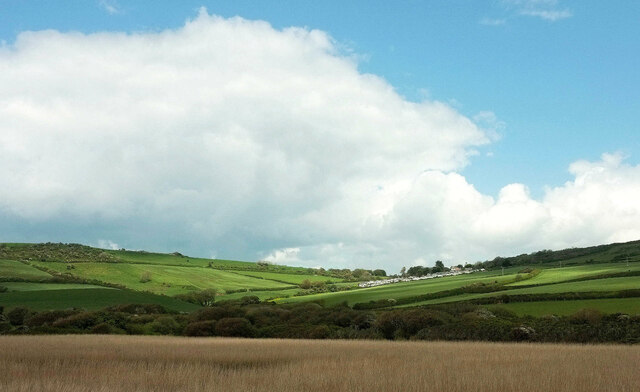
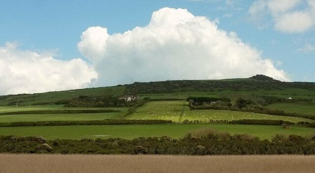
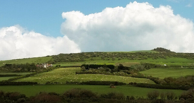
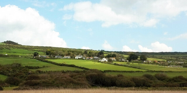
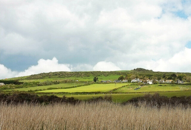
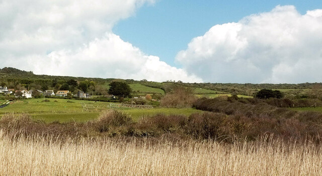
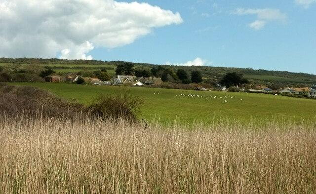
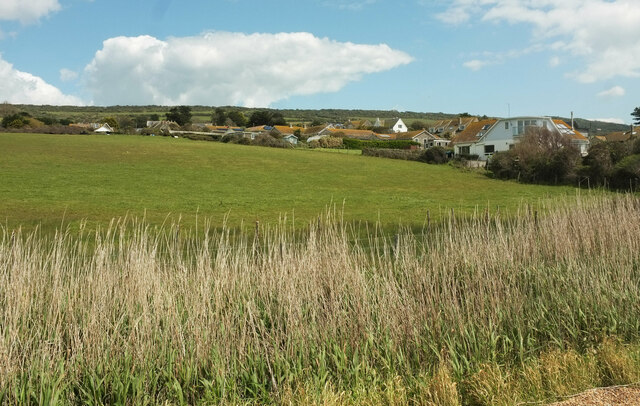
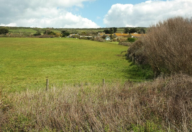
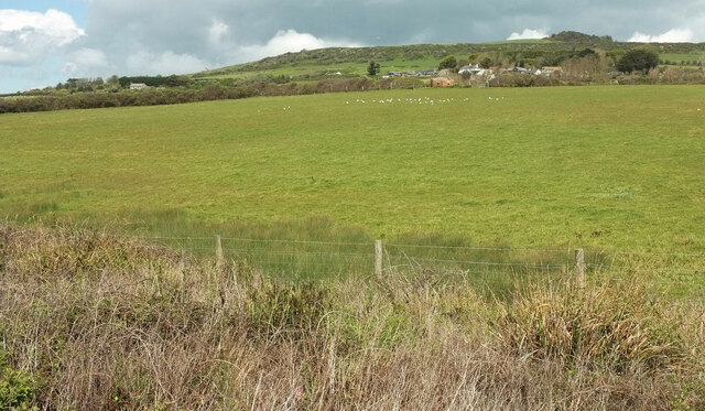
Long Gully, located in the county of Dorset, England, is a picturesque valley known for its natural beauty and historical significance. Situated within the Cranborne Chase Area of Outstanding Natural Beauty, this tranquil and idyllic valley is surrounded by rolling hills, dense woodlands, and meandering streams.
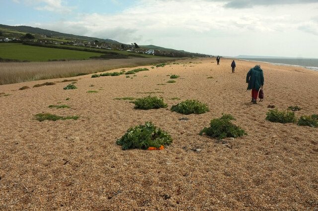
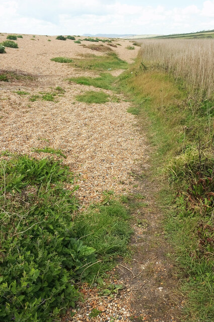
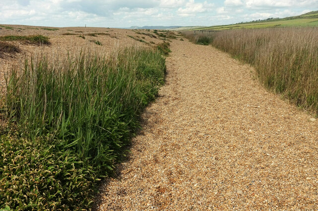
The valley is named after the long, narrow gorge that runs through it, creating a dramatic landscape that is popular with hikers and nature enthusiasts. The rugged terrain provides ample opportunities for outdoor activities such as walking, cycling, and birdwatching. Visitors can explore the numerous walking trails that wind through the valley, offering stunning views of the surrounding countryside.
Long Gully is also home to a rich history, with archaeological evidence suggesting human habitation in the area dating back to prehistoric times. The valley contains several ancient burial mounds and earthworks, providing a glimpse into the lives of the early inhabitants. Additionally, there are remnants of old stone houses and farm buildings, showcasing the area's agricultural heritage.
The valley is a haven for wildlife, with an abundance of flora and fauna. Rare species of birds, including buzzards and kestrels, can be spotted soaring above the valley, while deer and foxes roam freely through the woodlands. The diverse range of plant life includes wildflowers, ancient oak trees, and moss-covered rocks, adding to the area's natural charm.
Long Gully, Dorset, offers a serene and captivating experience for those seeking a retreat in nature or an exploration of the region's fascinating past. With its breathtaking landscapes and historical significance, this hidden gem is a must-visit destination for nature lovers and history enthusiasts alike.
If you have any feedback on the listing, please let us know in the comments section below.
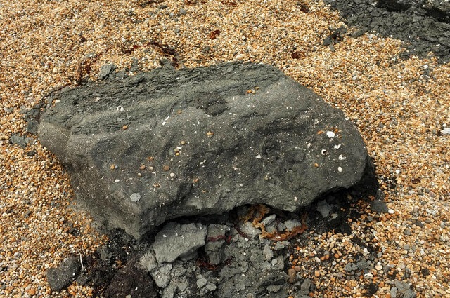
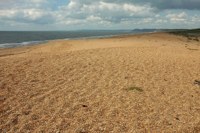
Long Gully Images
Images are sourced within 2km of 50.673032/-2.649223 or Grid Reference SY5486. Thanks to Geograph Open Source API. All images are credited.
Long Gully is located at Grid Ref: SY5486 (Lat: 50.673032, Lng: -2.649223)
Unitary Authority: Dorset
Police Authority: Dorset
What 3 Words
///flush.mammoth.media. Near Bridport, Dorset
Nearby Locations
Related Wikis
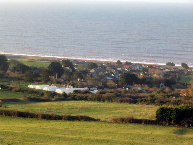
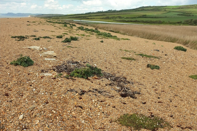
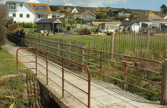
West Bexington
West Bexington is a village in south-west Dorset, England, sited just behind the Chesil Beach about 6 miles (10 km) southeast of Bridport. It forms part...

Abbotsbury Castle
Abbotsbury Castle is an Iron Age hillfort in south west Dorset, England, situated on Wears Hill above the village of Abbotsbury, seven miles west of Dorchester...

Abbotsbury Subtropical Gardens
The Abbotsbury Subtropical Gardens is a visitor attraction near the village of Abbotsbury, Dorset, southern England. They are Grade I listed in the National...

Holy Trinity Church, Swyre
Holy Trinity Church is a Church of England church in Swyre, Dorset, England. The oldest part of the church has been dated to the early 15th century, with...
Nearby Amenities
Located within 500m of 50.673032,-2.649223Have you been to Long Gully?
Leave your review of Long Gully below (or comments, questions and feedback).