Whelter Bottom
Valley in Westmorland Eden
England
Whelter Bottom
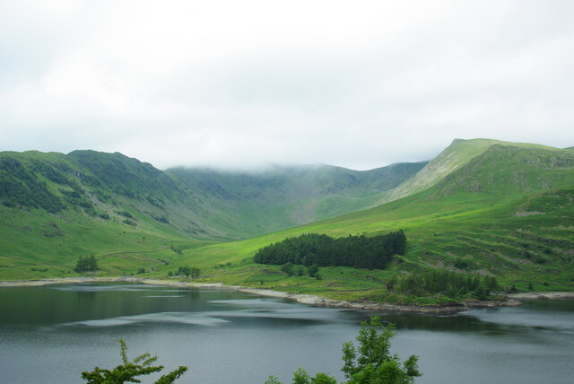
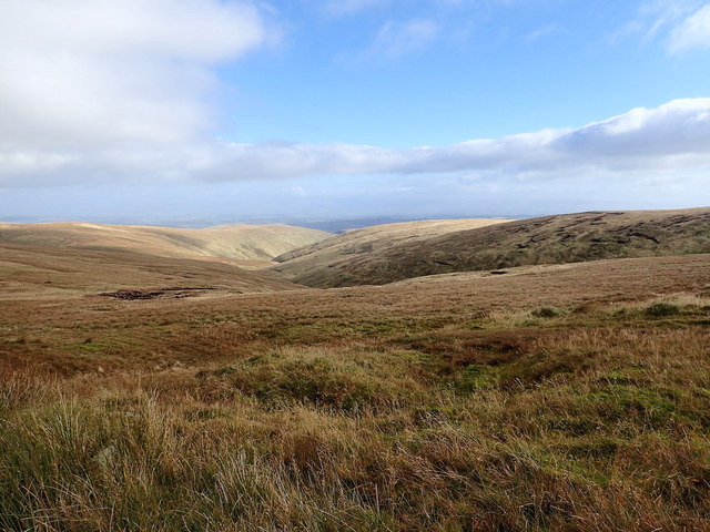
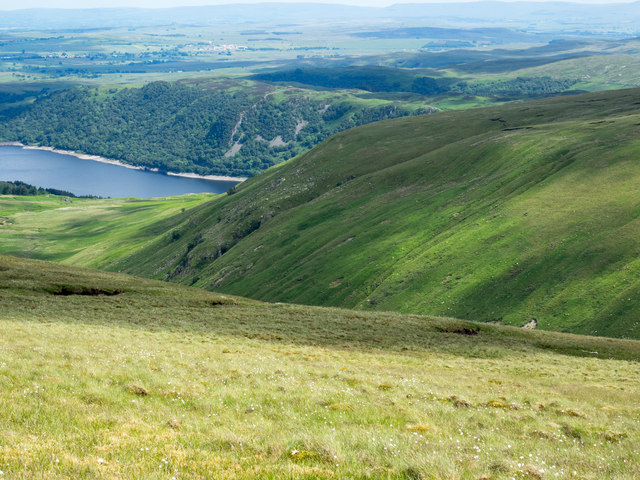
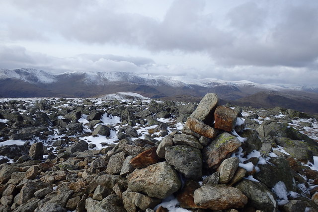
Whelter Bottom is a picturesque valley located in the county of Westmorland, England. Nestled within the beautiful Lake District National Park, this rural area is renowned for its idyllic countryside and stunning natural landscapes.
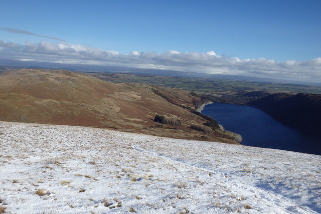
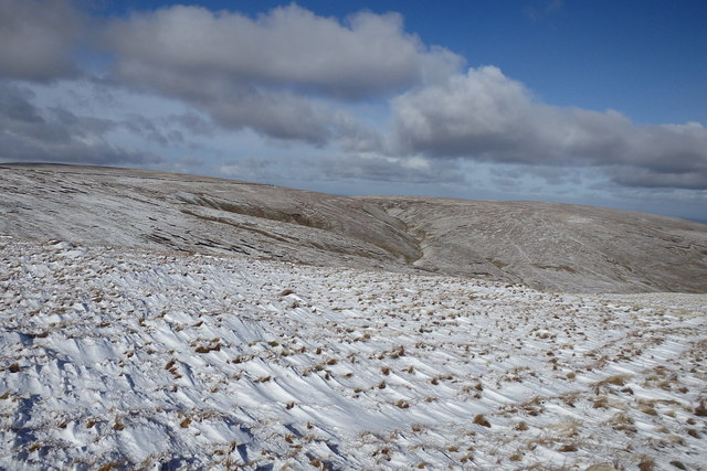
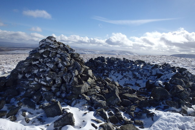
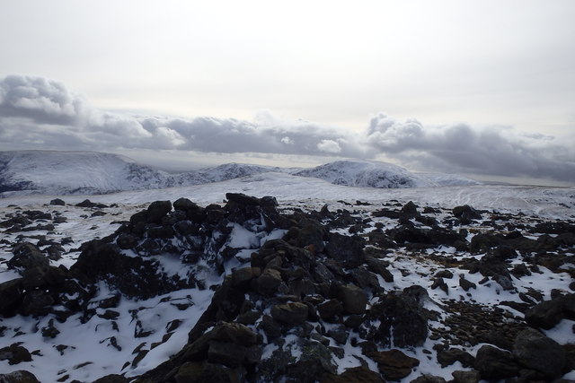
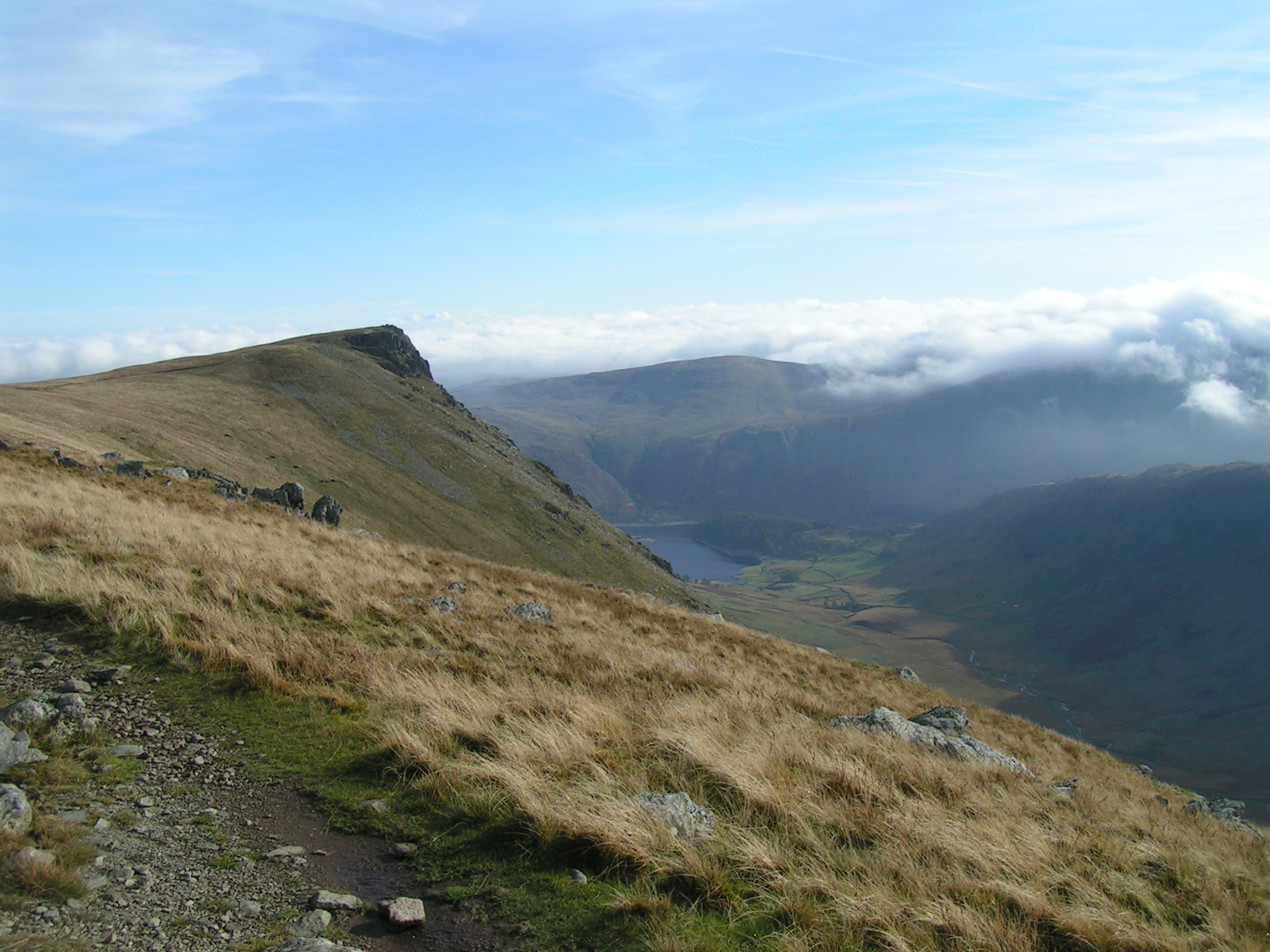
The valley is characterized by rolling green hills, meandering streams, and dense woodlands, providing a serene and tranquil atmosphere for visitors and residents alike. Whelter Bottom is particularly famous for its breathtaking views, offering panoramic vistas of the surrounding mountains and valleys.
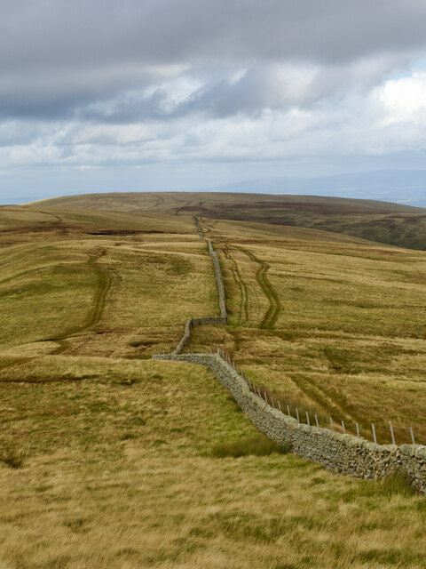
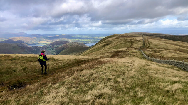
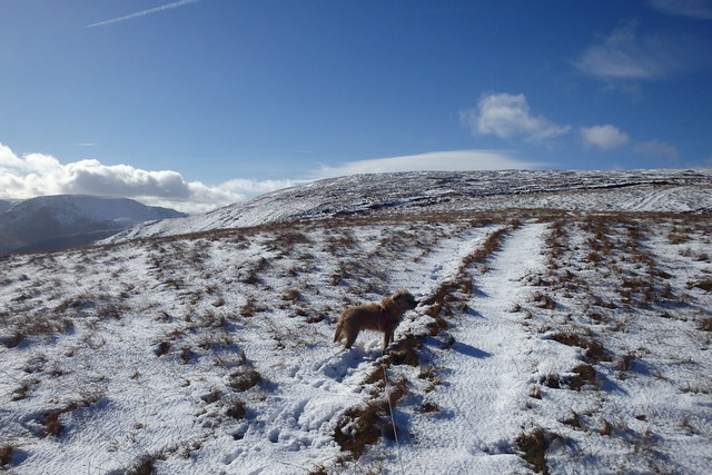
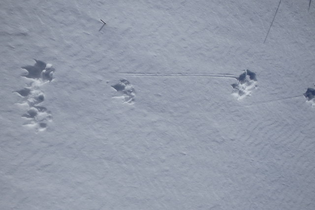
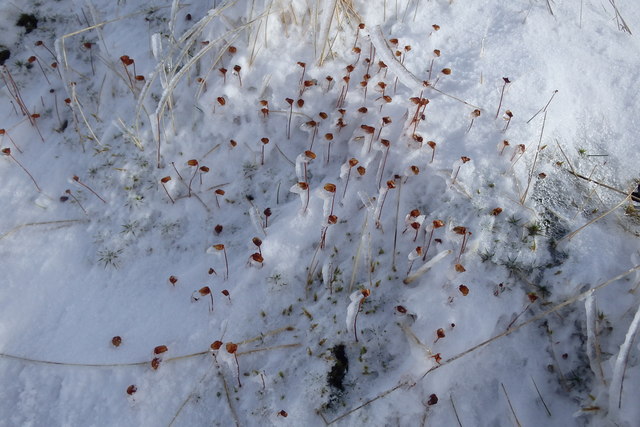
The area is home to a variety of wildlife, including red deer, wild birds, and rare plant species, making it a haven for nature enthusiasts. The valley also boasts several walking trails and hiking routes, allowing visitors to explore its hidden gems and discover its natural wonders.
Whelter Bottom is dotted with charming traditional Cumbrian cottages, adding to the area's charm and authenticity. The local community is small but tight-knit, with a strong sense of community spirit and pride in their surroundings.
Although Whelter Bottom is predominantly a rural area, it is conveniently located near several towns and villages, providing easy access to amenities and services. The nearby town of Kendal offers a wide range of shops, restaurants, and cultural attractions, ensuring that residents have everything they need within reach.
In summary, Whelter Bottom in Westmorland is a truly enchanting valley, brimming with natural beauty and offering a peaceful retreat from the hustle and bustle of modern life. Whether you are looking for outdoor adventures or simply seeking solace in nature, this hidden gem is sure to captivate and inspire.
If you have any feedback on the listing, please let us know in the comments section below.
Whelter Bottom Images
Images are sourced within 2km of 54.516193/-2.8278074 or Grid Reference NY4613. Thanks to Geograph Open Source API. All images are credited.
Whelter Bottom is located at Grid Ref: NY4613 (Lat: 54.516193, Lng: -2.8278074)
Administrative County: Cumbria
District: Eden
Police Authority: Cumbria
What 3 Words
///represent.reserve.speech. Near Shap, Cumbria
Nearby Locations
Related Wikis

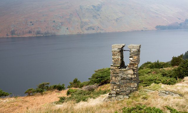
Mardale
Mardale is a glacial valley in the Lake District, in northern England. The valley used to have a hamlet at its head, called Mardale Green, but this village...

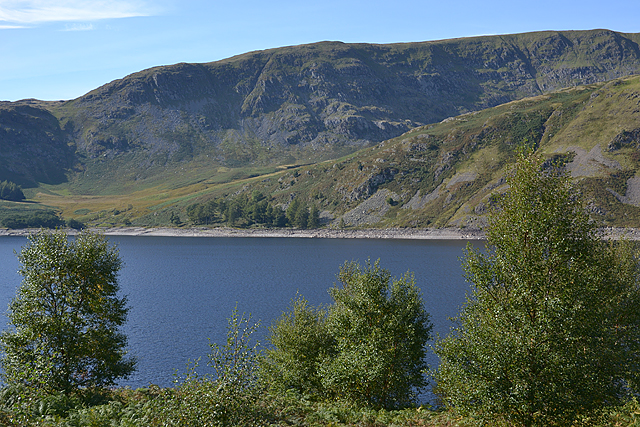
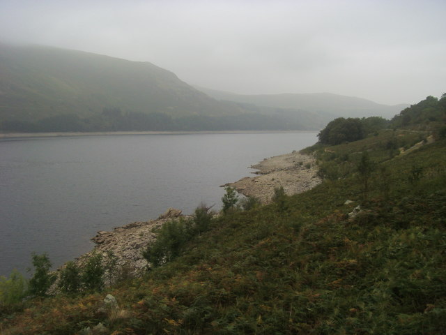
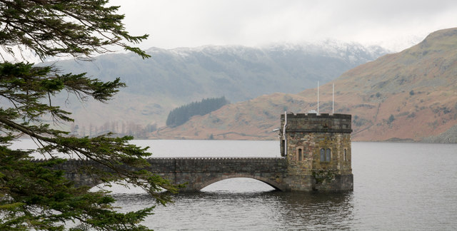
Haweswater Reservoir
Haweswater is a reservoir in the valley of Mardale, Cumbria in the Lake District, England. Work to raise the height of the original natural lake was started...

High Raise (High Street)
High Raise is a fell in the English Lake District, standing to the west of Haweswater Reservoir in the Far Eastern Fells. Note that another High Raise...
Kidsty Pike
Kidsty Pike is a fell in the English Lake District, standing to the west of Haweswater Reservoir. It is a subsidiary top of Rampsgill Head, but has long...
Nearby Amenities
Located within 500m of 54.516193,-2.8278074Have you been to Whelter Bottom?
Leave your review of Whelter Bottom below (or comments, questions and feedback).