Chelm's Coombe
Valley in Somerset Sedgemoor
England
Chelm's Coombe
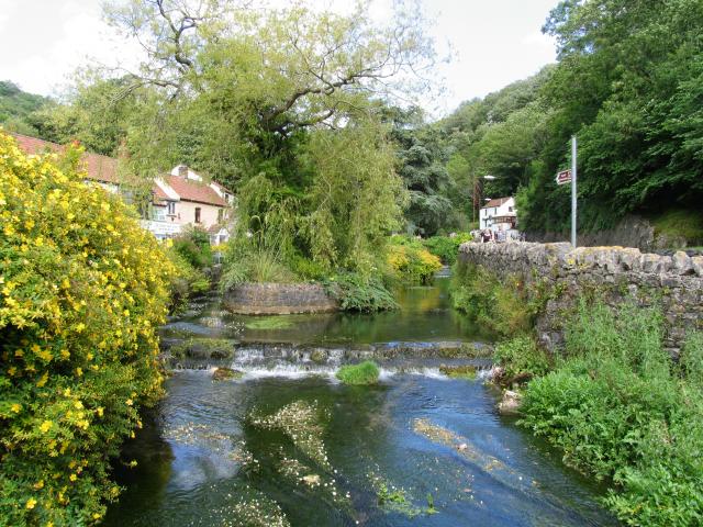
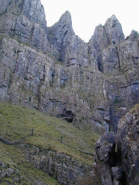
Chelm's Coombe, located in Somerset, England, is a picturesque valley nestled within the Mendip Hills. This stunning natural landscape offers a serene and tranquil environment that attracts visitors seeking a peaceful retreat from the bustling city life.
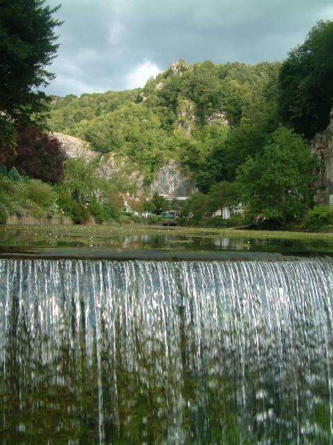
Surrounded by rolling hills and lush vegetation, Chelm's Coombe boasts breathtaking views that captivate the senses. The valley is characterized by a meandering river that flows through its heart, creating a calming ambiance and providing a habitat for various wildlife species.
The area is known for its diverse flora and fauna, with wildflowers, ancient trees, and vibrant wildlife dotting the landscape. Nature enthusiasts can explore the numerous walking trails that wind through the valley, offering opportunities to spot rare bird species, butterflies, and small mammals.
Chelm's Coombe is also home to several historical landmarks and cultural attractions. The valley features remnants of medieval settlements, including ancient stone bridges and traditional thatched cottages, providing visitors with a glimpse into the region's rich history.
For those seeking outdoor activities, the valley offers opportunities for fishing, picnicking, and camping. The calm and clear waters of the river are perfect for anglers hoping to catch trout or salmon, while the expansive green fields provide ample space for picnics and outdoor games.
Chelm's Coombe is a hidden gem in Somerset, offering a serene and idyllic escape for nature enthusiasts, history buffs, and those seeking solace in the beauty of the countryside.
If you have any feedback on the listing, please let us know in the comments section below.
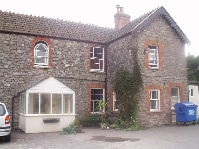
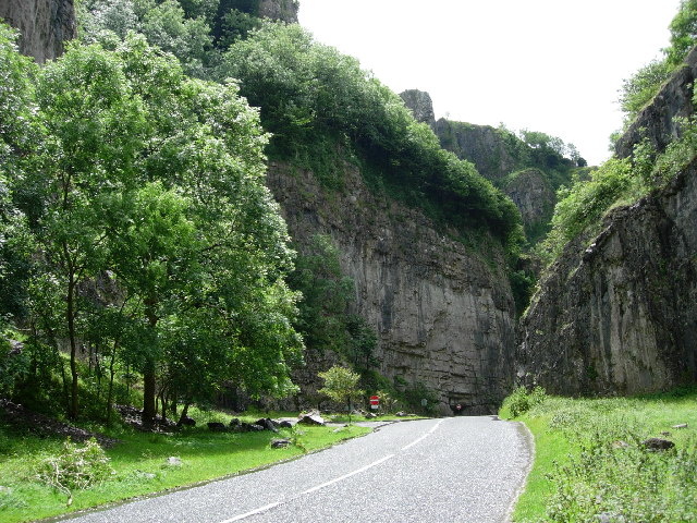
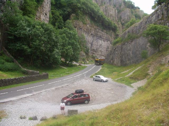
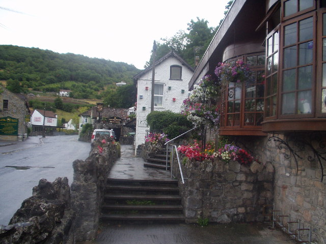
Chelm's Coombe Images
Images are sourced within 2km of 51.287478/-2.7699326 or Grid Reference ST4654. Thanks to Geograph Open Source API. All images are credited.


Chelm's Coombe is located at Grid Ref: ST4654 (Lat: 51.287478, Lng: -2.7699326)
Administrative County: Somerset
District: Sedgemoor
Police Authority: Avon and Somerset
What 3 Words
///harvest.detonated.captive. Near Cheddar, Somerset
Nearby Locations
Related Wikis
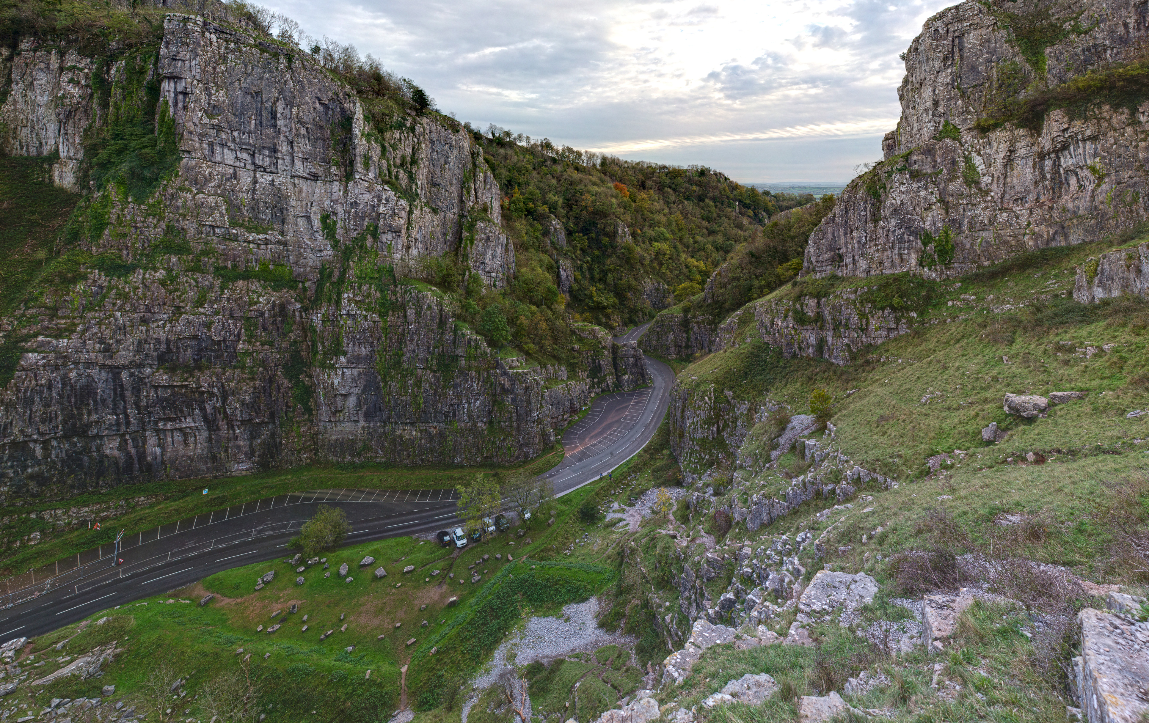
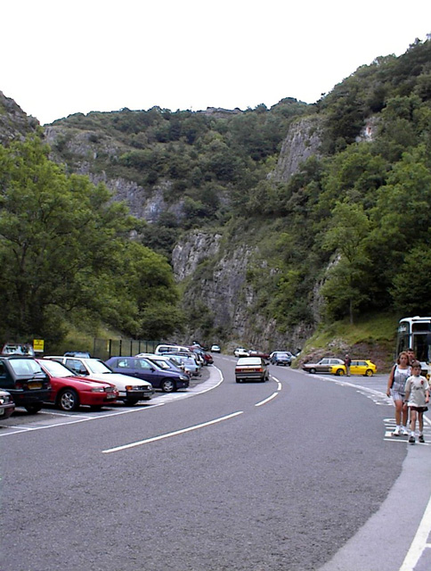
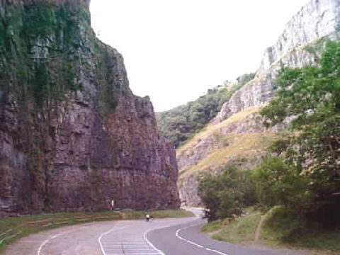
Cheddar Gorge
Cheddar Gorge is a limestone gorge in the Mendip Hills, near the village of Cheddar, Somerset, England. The gorge is the site of the Cheddar show caves...

Cox's Cave
Cox's Cave is in Cheddar Gorge on the Mendip Hills, in Somerset, England. It is open to the public as a show cave. The cave is named after mill owner George...

Cheddar Complex
The Cheddar Complex is a 441.3-hectare (1,090-acre) biological Site of Special Scientific Interest near Cheddar around the Cheddar Gorge and north east...
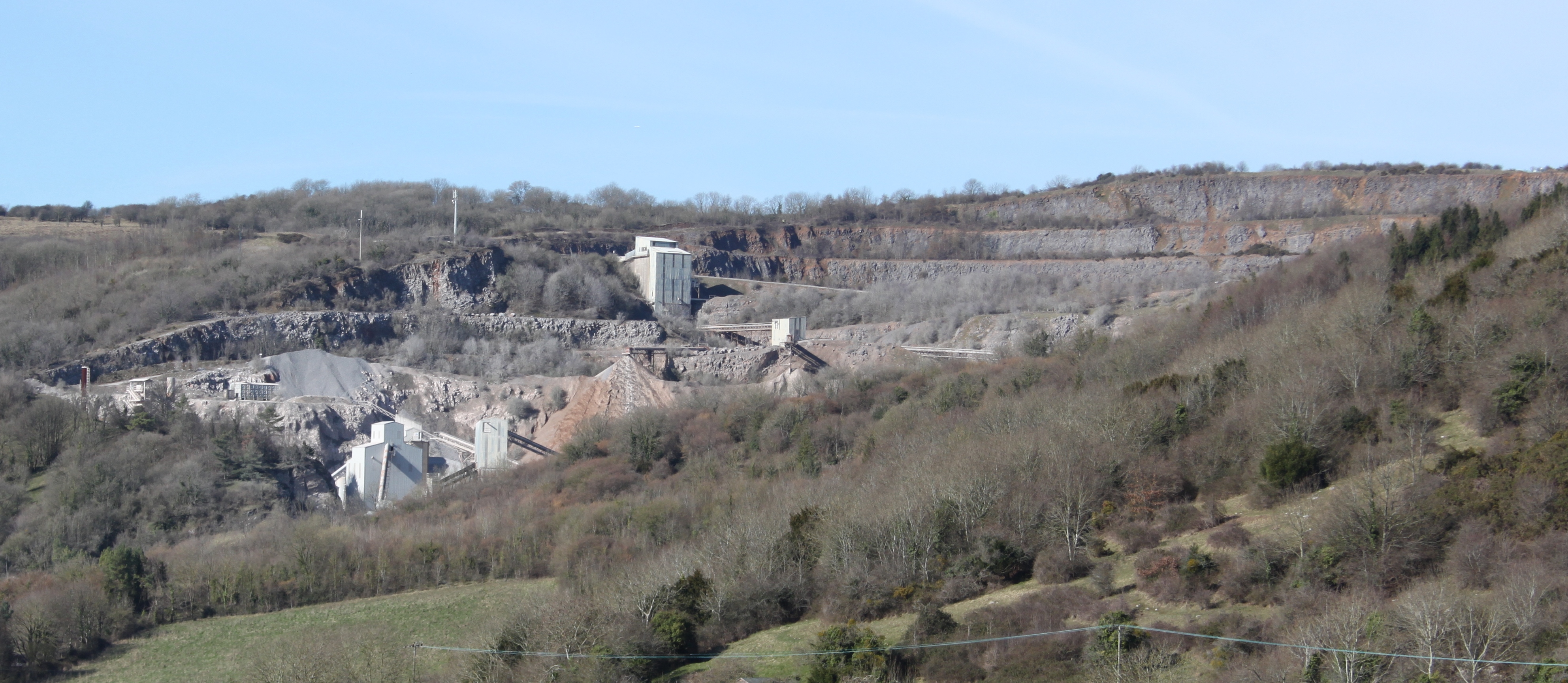
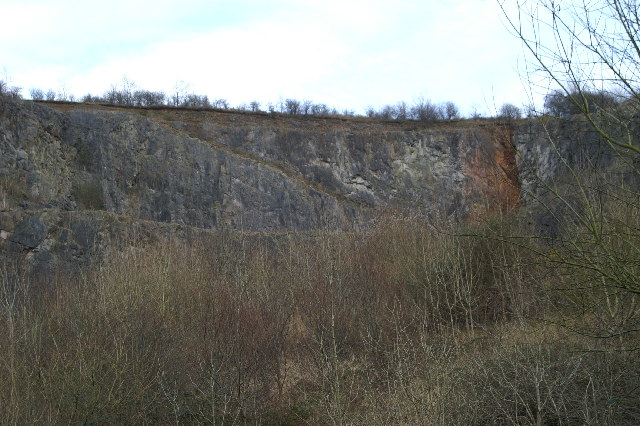
Batts Combe quarry
Batts Combe quarry, grid reference ST460550 is a limestone quarry on the edge of Cheddar village on the Mendip Hills, Somerset, England. It has been operating...

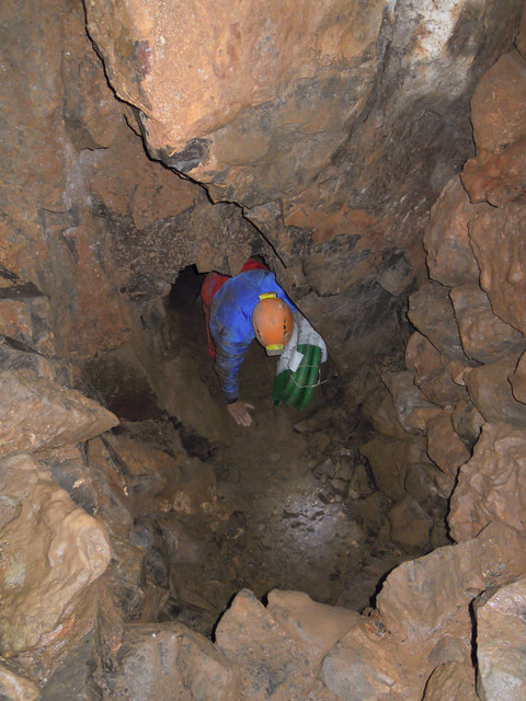
Gough's Cave
Gough's Cave ( GOF) is located in Cheddar Gorge on the Mendip Hills, in Cheddar, Somerset, England. The cave is 115 m (377 ft) deep and is 3.405 km (2...
Reservoir Hole
Reservoir Hole is a cave in Cheddar Gorge in Somerset, southwest England. It contains what is believed to be the largest chamber yet found under the Mendip...

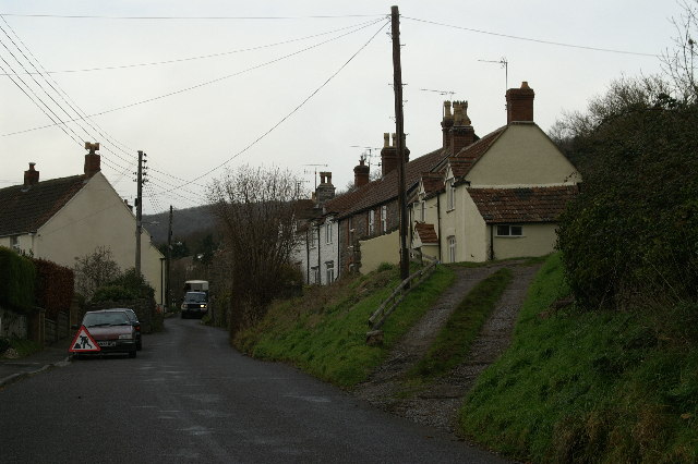
Cheddar, Somerset
Cheddar is a large village and civil parish in the English county of Somerset. It is situated on the southern edge of the Mendip Hills, 9 miles (14 km...
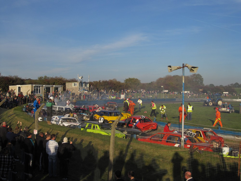
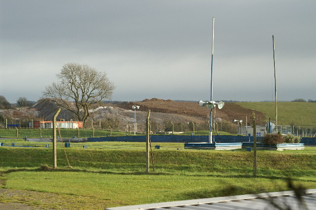
Mendips Raceway
Mendips Raceway is a motorsport venue in the Mendip Hills in Somerset, England. It is located on the rim of Batts Combe quarry between Shipham and Charterhouse...
Nearby Amenities
Located within 500m of 51.287478,-2.7699326Have you been to Chelm's Coombe?
Leave your review of Chelm's Coombe below (or comments, questions and feedback).