Bullyhole Bottom

Valley in Monmouthshire

Wales

Bullyhole Bottom

Field-edge view from Newchurch Triangulation Pillar Looking northward.
Field-edge view from Newchurch Triangulation Pillar Credit: Peter Wood

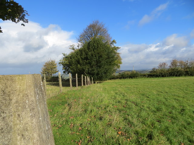
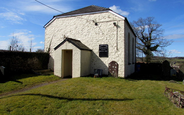
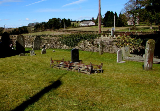
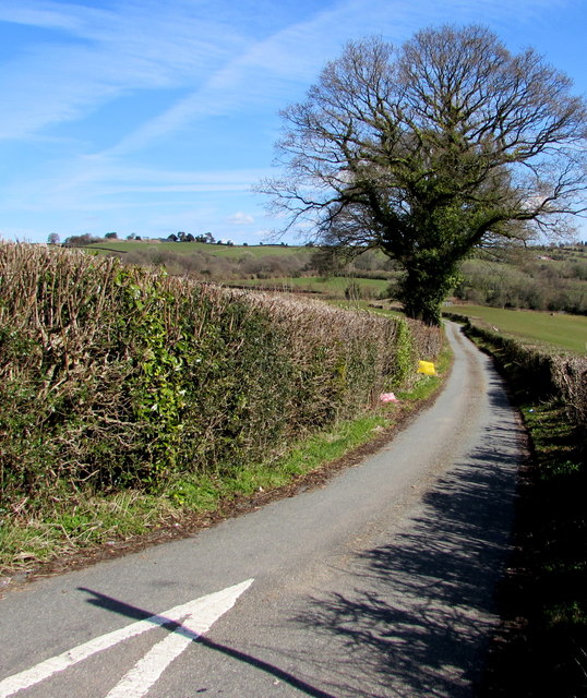
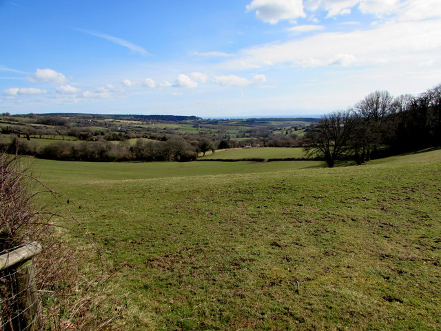
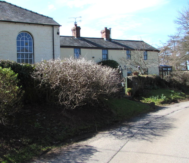
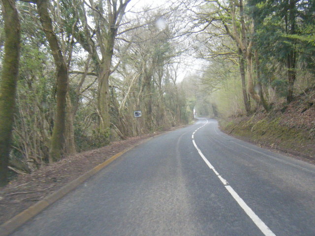
Bullyhole Bottom, located in Monmouthshire, Wales, is a picturesque valley renowned for its scenic beauty and tranquil atmosphere. Nestled between rolling hills and surrounded by lush greenery, this idyllic valley offers a retreat from the hustle and bustle of urban life.

The valley derives its name from the small stream that runs through it, known as Bullyhole Brook. This babbling brook adds to the charm of the area, providing a soothing soundtrack to accompany the stunning vistas. The valley is also home to a diverse array of flora and fauna, with wildflowers, trees, and various species of birds and mammals inhabiting the area.

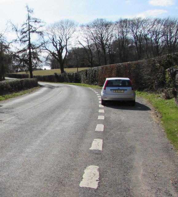
Bullyhole Bottom is a popular destination for outdoor enthusiasts and nature lovers, offering a range of activities. Hiking trails crisscross the valley, allowing visitors to explore the enchanting woodlands and meadows. The valley's rolling topography also makes it ideal for cycling and horse riding, with numerous paths to traverse.

For those seeking a more leisurely experience, picnicking and photography opportunities abound. The valley's serene ambiance and breathtaking views provide the perfect backdrop for relaxation and capturing memorable moments.

Despite its natural beauty, Bullyhole Bottom remains relatively undiscovered, offering a peaceful escape from the crowds. The valley's remoteness and lack of commercial development contribute to its unspoiled character, attracting those seeking solitude and a connection with nature.

In conclusion, Bullyhole Bottom in Monmouthshire is a hidden gem, offering a tranquil haven amidst stunning natural surroundings. Whether you're an avid hiker, a photography enthusiast, or simply seeking solace in nature, this valley provides a serene and unforgettable experience.

If you have any feedback on the listing, please let us know in the comments section below.

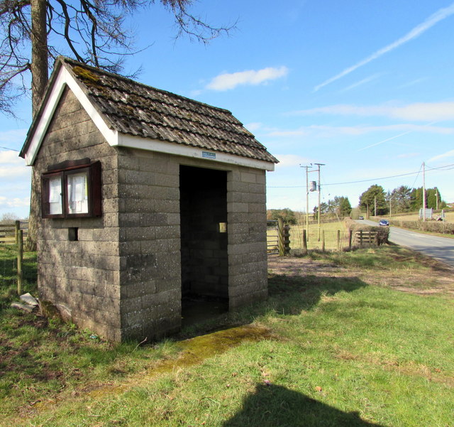
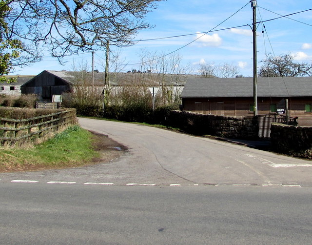
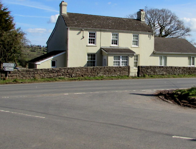
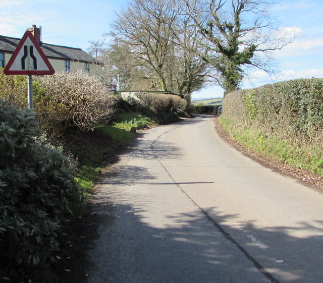
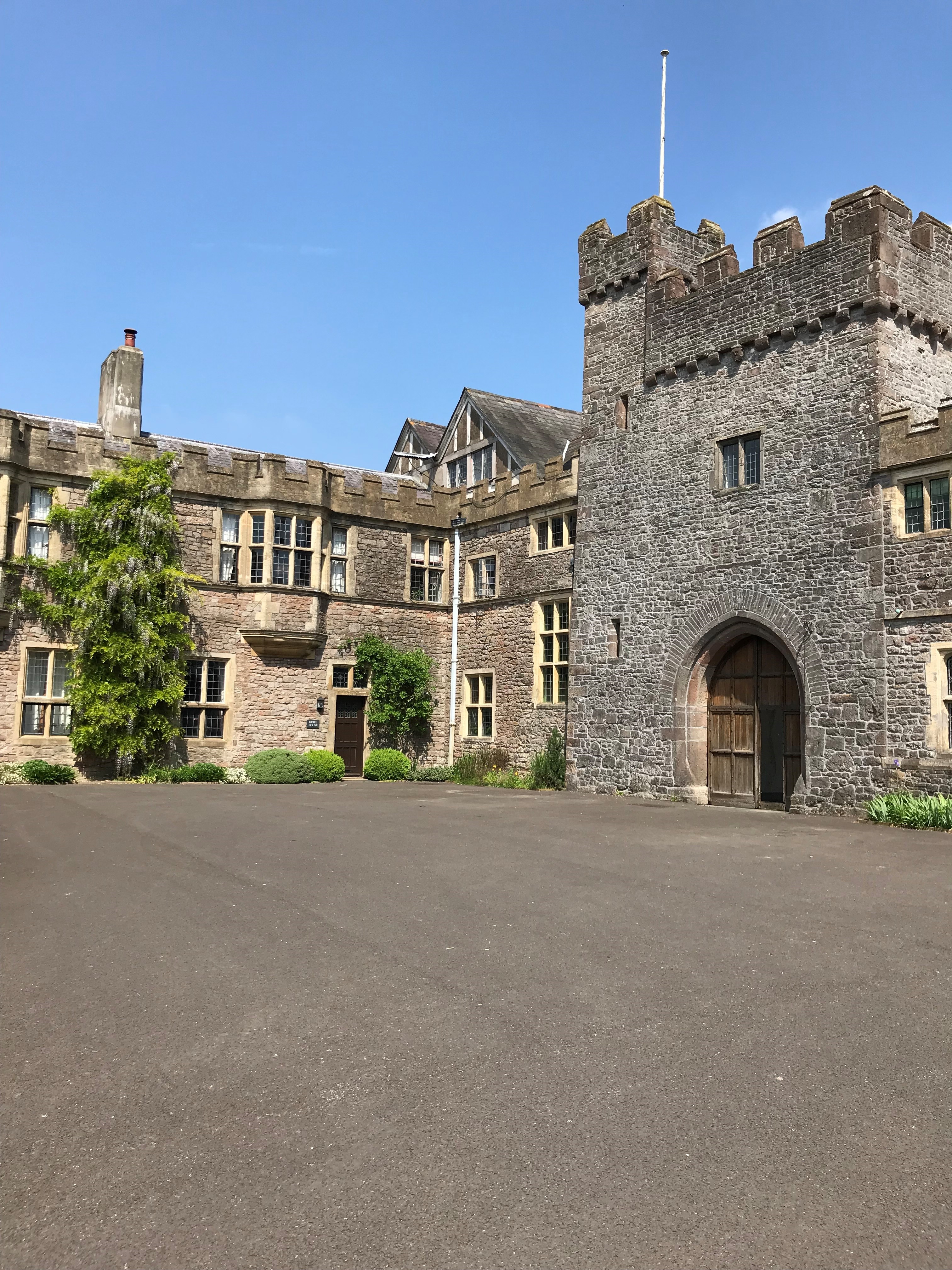
Bullyhole Bottom Images

Images are sourced within 2km of 51.662321/-2.7798714 or Grid Reference ST4696. Thanks to Geograph Open Source API. All images are credited.

Field-edge view from Newchurch Triangulation Pillar Looking northward.
Field-edge view from Newchurch Triangulation Pillar
Looking northward.
Grade II listed early Victorian Gaerllwyd Baptist Chapel, Monmouthshire Cadw records that this very small rectangular chapel opened in 1842 as Mount Zion, a Welsh Calvinistic Methodist chapel. It was later transferred to the Presbyterians and finally to the Baptists. Grade II listed in 2001.
Grade II listed early Victorian Gaerllwyd Baptist Chapel, Monmouthshire
Cadw records that this very small rectangular chapel opened in 1842 as Mount Zion, a Welsh Calvinistic Methodist chapel. It was later transferred to the Presbyterians and finally to the Baptists. Grade II listed in 2001.
Small burial ground in Gaerllwyd, Monmouthshire On the north side of Gaerllwyd Baptist Chapel. <a title="https://www.geograph.org.uk/photo/5717735" href="https://www.geograph.org.uk/photo/5717735">Link</a>
Small burial ground in Gaerllwyd, Monmouthshire
On the north side of Gaerllwyd Baptist Chapel. Link
Four-way directions sign in Gaerllwyd, Monmouthshire Facing northbound traffic on the B4235 in rural Monmouthshire.
Four-way directions sign in Gaerllwyd, Monmouthshire
Facing northbound traffic on the B4235 in rural Monmouthshire.
Minor road towards Newchurch and Devauden, Monmouthshire Descending from the B4235 in Gaerllwyd.
Minor road towards Newchurch and Devauden, Monmouthshire
Descending from the B4235 in Gaerllwyd.
Rural Monmouthshire in late March 2018 Viewed from a field gate in Gaerllwyd on March 25th 2018.
Rural Monmouthshire in late March 2018
Viewed from a field gate in Gaerllwyd on March 25th 2018.
Queen Elizabeth II postbox and a Grade II listed phonebox in Gaerllwyd, Monmouthshire Alongside the boundary wall of Gaerllwyd Baptist Chapel <a title="https://www.geograph.org.uk/photo/5717735" href="https://www.geograph.org.uk/photo/5717735">Link</a> The K6 phonebox was Grade II listed in 2009.
Queen Elizabeth II postbox and a Grade II listed phonebox in Gaerllwyd, Monmouthshire
Alongside the boundary wall of Gaerllwyd Baptist Chapel Link The K6 phonebox was Grade II listed in 2009.
Layby in Gaerllwyd, Monmouthshire On the east side of Gaerllwyd Baptist Chapel. <a title="https://www.geograph.org.uk/photo/5717735" href="https://www.geograph.org.uk/photo/5717735">Link</a>
Layby in Gaerllwyd, Monmouthshire
On the east side of Gaerllwyd Baptist Chapel. Link
Bilingual direction sign in Gaerllwyd, Monmouthshire Earlswood is Coed-yr-iarll in Welsh.
Bilingual direction sign in Gaerllwyd, Monmouthshire
Earlswood is Coed-yr-iarll in Welsh.
Two sizes of Give Way sign in Gaerllwyd, Monmouthshire The sign on the left is about half the size of the one near the bus shelter.
Two sizes of Give Way sign in Gaerllwyd, Monmouthshire
The sign on the left is about half the size of the one near the bus shelter.
Stone bus shelter in Gaerllwyd, Monmouthshire Alongside the B4235, the road from Chepstow to Usk.
Stone bus shelter in Gaerllwyd, Monmouthshire
Alongside the B4235, the road from Chepstow to Usk.
Gaerllwyd Farm, Gaerllwyd, Monmouthshire Viewed from the B4235, the road from Chepstow to Usk.
Gaerllwyd Farm, Gaerllwyd, Monmouthshire
Viewed from the B4235, the road from Chepstow to Usk.
B4235 from Gaerllwyd towards Usk The B4235 passes through Gaerllwyd, a small village in Monmouthshire
about 10 km from Usk to the NE and 11 km from Chepstow to the SW.
B4235 from Gaerllwyd towards Usk
The B4235 passes through Gaerllwyd, a small village in Monmouthshire about 10 km from Usk to the NE and 11 km from Chepstow to the SW.
White house in Gaerllwyd, Monmouthshire Alongside the B4235, the road from Usk to Chepstow.
White house in Gaerllwyd, Monmouthshire
Alongside the B4235, the road from Usk to Chepstow.
West along the minor road from Gaerllwyd to Earlswood, Monmouthshire The sign warns of a narrower road ahead.
West along the minor road from Gaerllwyd to Earlswood, Monmouthshire
The sign warns of a narrower road ahead.
Cottage attached to Gaerllwyd Baptist Chapel Built as the manse cottage for the chapel <a title="https://www.geograph.org.uk/photo/5717735" href="https://www.geograph.org.uk/photo/5717735">Link</a> on left, the cottage has been altered and modernised.
Cottage attached to Gaerllwyd Baptist Chapel
Built as the manse cottage for the chapel Link on left, the cottage has been altered and modernised.
B4235 west of Bullyhole Bottom
B4235 south of Gove Wood
Show me another place!

Bullyhole Bottom is located at Grid Ref: ST4696 (Lat: 51.662321, Lng: -2.7798714)

Unitary Authority: Monmouthshire

Police Authority: Gwent

What 3 Words

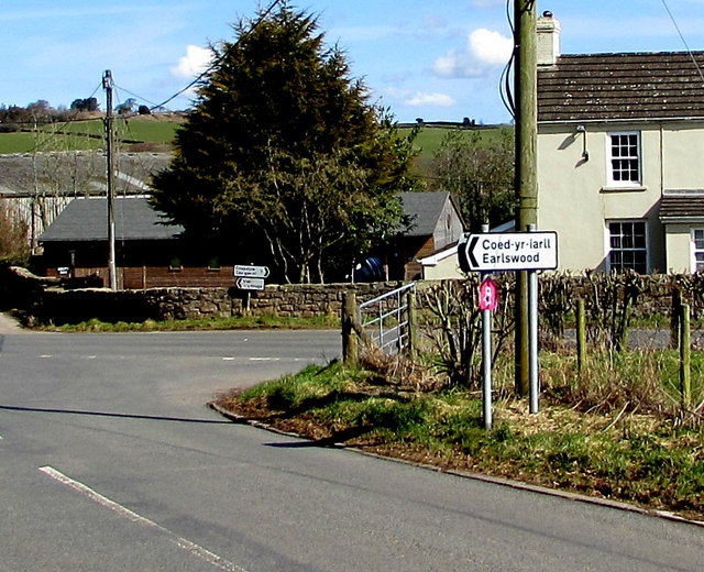
///surfer.cabs.tight. Near Llangwm, Monmouthshire

Related Wikis

Gaerllwyd

Gaerllwyd is a village in Monmouthshire, south east Wales, United Kingdom. == Location == Gaerllwyd is located 6 miles (9.7 km) south east of Usk and 7...

Newchurch, Monmouthshire

Newchurch (Welsh: Yr Eglwys Newydd ar y Cefn, meaning "new church on the ridge") is an extensive rural parish and small hamlet in Monmouthshire, south...

Earlswood, Monmouthshire

Earlswood (Welsh: Coed-yr-iarll) is a rural area of scattered settlement in Monmouthshire, south east Wales, United Kingdom. It is located five miles...

Kilgwrrwg

Kilgwrrwg (Welsh: Cilgwrrwg) is a rural parish in Monmouthshire, south east Wales, United Kingdom. It is located 7 miles (11 km) north west of Chepstow...

Church of the Holy Cross, Kilgwrrwg

The Church of the Holy Cross, Kilgwrrwg, Monmouthshire, Wales, is an early medieval parish church that once supported a now abandoned village. A Grade...

Shirenewton

Shirenewton (Welsh: Drenewydd Gelli-farch) is a village and community in Monmouthshire, south east Wales. It is located 3 miles due west of Chepstow,...

Church of St Thomas a Becket, Shirenewton

The Church of St Thomas a Becket is located in Shirenewton, Monmouthshire, Wales. In the late 12th century the land was inherited by Henry de Bohun. The...

Itton Court

Itton Court, Itton, Devauden, Monmouthshire is a country house. The origin of the house was as an outstation for Chepstow Castle. In the 18th century,...

Nearby Amenities

Located within 500m of 51.662321,-2.7798714
Direction: 175
Generator Method: photovoltaic
Generator Output Electricity: yes
Generator Solar Modules: 16
Generator Source: solar
Generator Type: solar_photovoltaic_panel
Location: roof
Power: generator
Lat/Long: 51.6660276/-2.7769755
The data included in this document is from www.openstreetmap.org. The data is made available under ODbL.

Have you been to Bullyhole Bottom?

Leave your review of Bullyhole Bottom below (or comments, questions and feedback).