Bullyhole Bottom
Settlement in Monmouthshire
Wales
Bullyhole Bottom
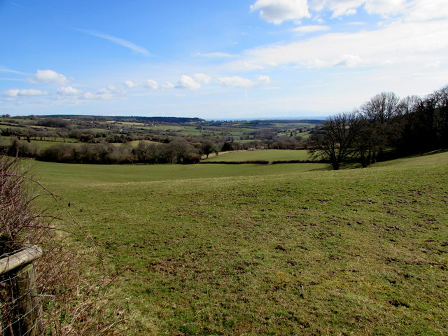
Bullyhole Bottom is a small rural village located in the county of Monmouthshire, Wales. Situated in the southeastern part of the county, it is nestled within the beautiful Usk Valley, surrounded by rolling hills and verdant countryside. The village is situated approximately 8 miles northeast of the town of Abergavenny and 10 miles west of Monmouth.
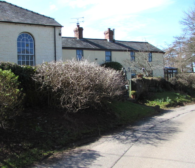
Bullyhole Bottom is known for its picturesque landscapes and tranquil atmosphere, making it an attractive destination for those seeking a peaceful retreat. The village is characterized by its charming stone cottages, many of which date back several centuries, giving it a timeless and rustic appeal.
Despite its small size, Bullyhole Bottom is not lacking in amenities for its residents and visitors. The village boasts a local pub, which serves as a hub for social gatherings and a place to enjoy traditional Welsh cuisine. Additionally, there is a small village shop that caters to the daily needs of the community.
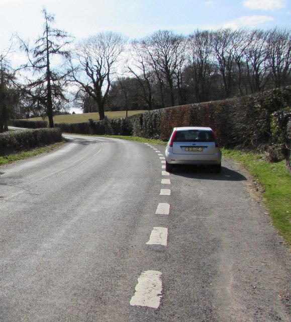
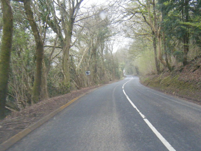
Surrounding Bullyhole Bottom, there are ample opportunities for outdoor activities and exploration. The village is surrounded by numerous walking trails that wind through the lush countryside, offering breathtaking views of the Usk Valley and the nearby Black Mountains.
Overall, Bullyhole Bottom is a charming and peaceful village that offers a slice of rural Welsh life. With its natural beauty and warm community spirit, it is a hidden gem within the idyllic Monmouthshire countryside.
If you have any feedback on the listing, please let us know in the comments section below.
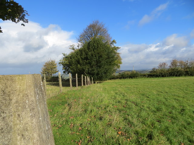
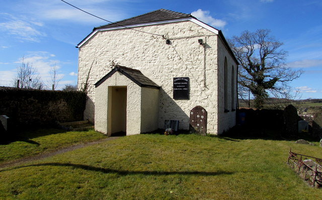
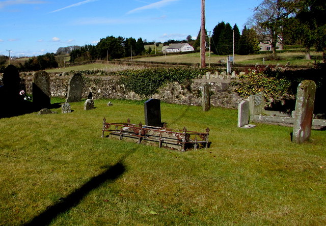
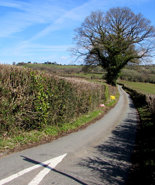
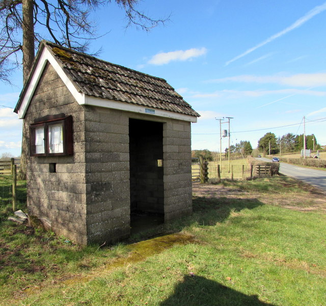
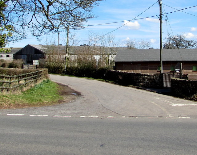
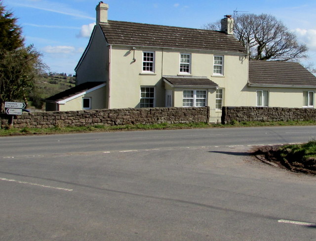
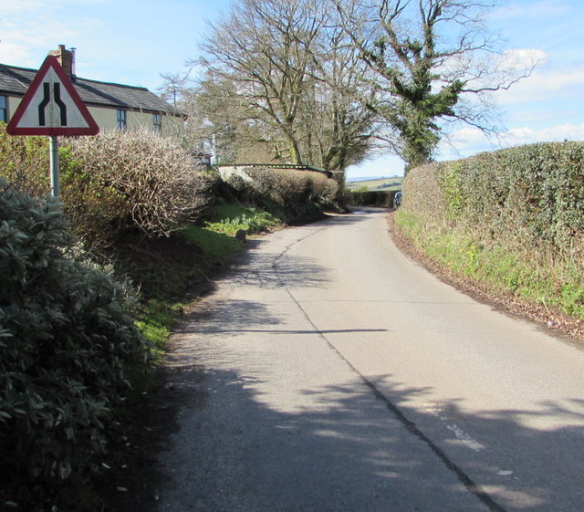
Bullyhole Bottom Images
Images are sourced within 2km of 51.660176/-2.7820754 or Grid Reference ST4696. Thanks to Geograph Open Source API. All images are credited.


Bullyhole Bottom is located at Grid Ref: ST4696 (Lat: 51.660176, Lng: -2.7820754)
Unitary Authority: Monmouthshire
Police Authority: Gwent
What 3 Words
///shells.certainty.sprinter. Near Llanvaches, Newport
Nearby Locations
Related Wikis

Gaerllwyd
Gaerllwyd is a village in Monmouthshire, south east Wales, United Kingdom. == Location == Gaerllwyd is located 6 miles (9.7 km) south east of Usk and 7...

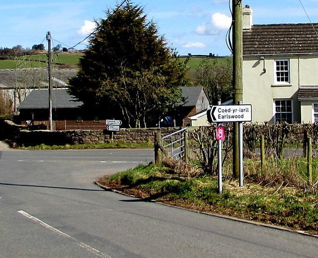
Earlswood, Monmouthshire
Earlswood (Welsh: Coed-yr-iarll) is a rural area of scattered settlement in Monmouthshire, south east Wales, United Kingdom. It is located five miles...

Newchurch, Monmouthshire
Newchurch (Welsh: Yr Eglwys Newydd ar y Cefn, meaning "new church on the ridge") is an extensive rural parish and small hamlet in Monmouthshire, south...

Kilgwrrwg
Kilgwrrwg (Welsh: Cilgwrrwg) is a rural parish in Monmouthshire, south east Wales, United Kingdom. It is located 7 miles (11 km) north west of Chepstow...
Related Videos
Welcome to Dorlands Wedding Venue
Dorlands is a Wedding Venue in South Wales, near Bristol. It has been self catering holiday accommodation for several years and ...
Nearby Amenities
Located within 500m of 51.660176,-2.7820754Have you been to Bullyhole Bottom?
Leave your review of Bullyhole Bottom below (or comments, questions and feedback).