Den of Mains

Valley in Angus

Scotland

Den of Mains

Cemetery in Dundee
Cemetery in Dundee Credit: Ralph Greig

Den of Mains, Angus (Valley), is a picturesque and tranquil natural attraction located in the Angus region of Scotland. Situated approximately five miles north-west of Dundee, it is nestled within the Den of Mains Wood, a stunning wooded area that covers around 12 hectares.

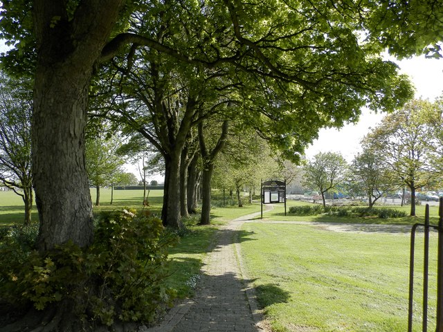
The Den of Mains is renowned for its stunning scenery, consisting of rugged cliffs, dense woodlands, and a meandering stream that flows through the valley. The area is a haven for nature enthusiasts, offering a diverse range of flora and fauna. Visitors can expect to encounter a variety of bird species, including woodpeckers, kingfishers, and owls, as well as small mammals such as squirrels and rabbits.

For those seeking an outdoor adventure, Den of Mains provides a network of well-maintained trails that wind through the woods, offering breathtaking views of the surrounding landscape. The paths are suitable for walkers of all abilities and are often used by locals and tourists alike for leisurely strolls or more challenging hikes.

Den of Mains also features several picnic areas, allowing visitors to relax and enjoy a meal amidst the serene surroundings. Additionally, there are benches strategically placed throughout the wood, providing opportunities for quiet contemplation and wildlife observation.

With its natural beauty and peaceful atmosphere, Den of Mains, Angus (Valley), offers a refreshing escape from the hustle and bustle of everyday life. Whether it's a leisurely walk, a family picnic, or a chance to immerse oneself in nature, this idyllic location has something to offer for everyone.

If you have any feedback on the listing, please let us know in the comments section below.
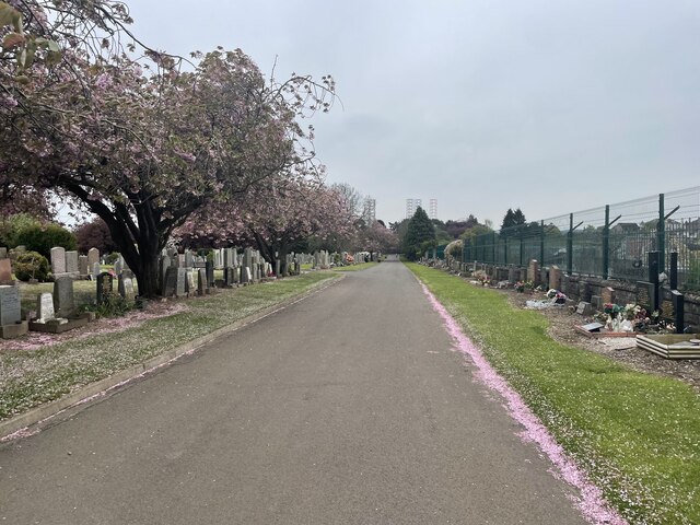
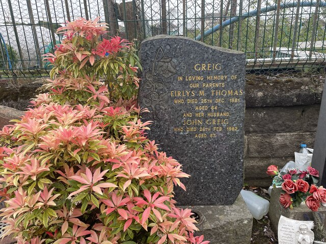
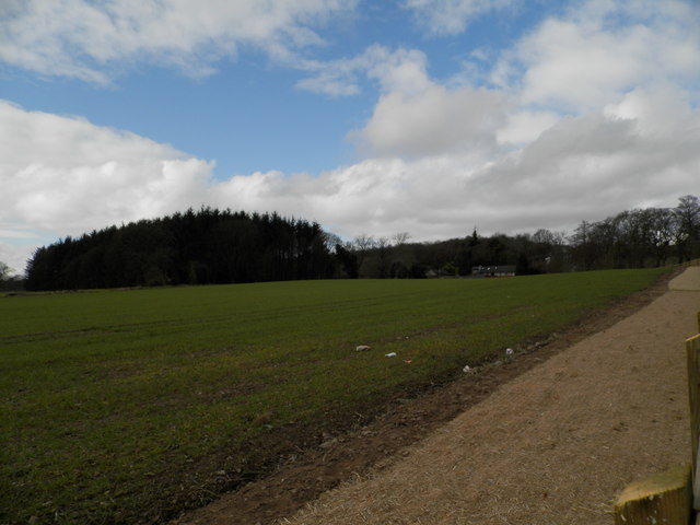
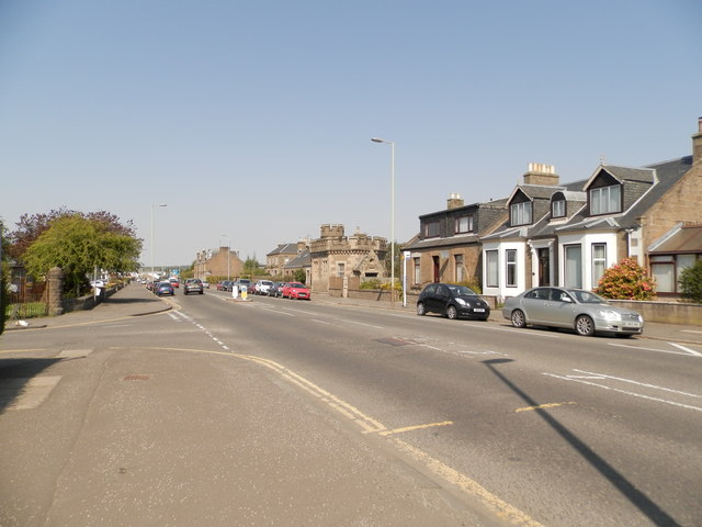
Den of Mains Images

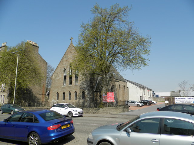
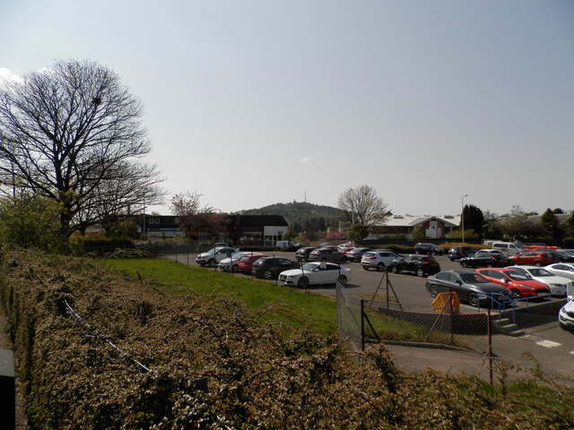
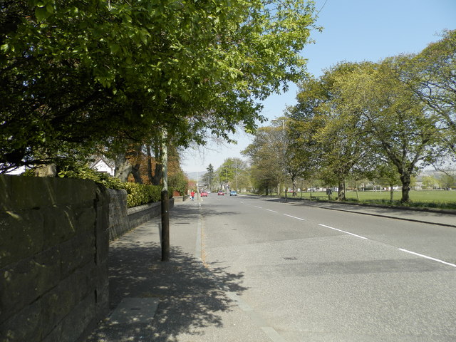
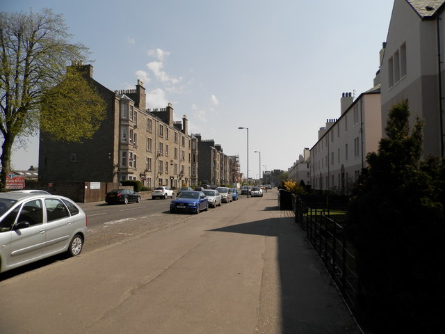
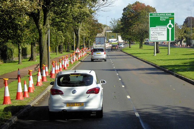
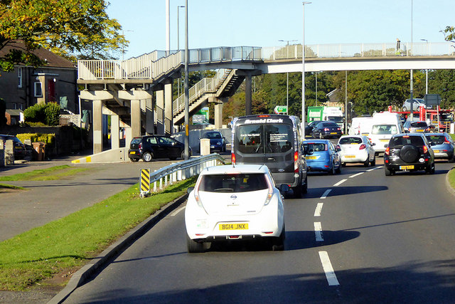
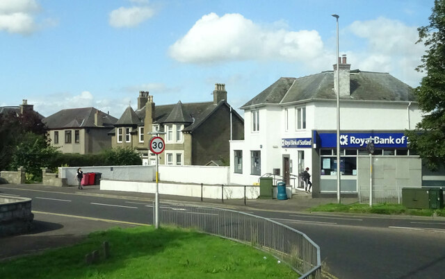
Images are sourced within 2km of 56.485717/-2.9624193 or Grid Reference NO4033. Thanks to Geograph Open Source API. All images are credited.

Cemetery in Dundee
Cemetery in Dundee
Family Grave The grave of Eirlys Greig (Thomas) and John Greig
Grandparents of the photographer Ralph Greig
Family Grave
The grave of Eirlys Greig (Thomas) and John Greig Grandparents of the photographer Ralph Greig
Field at Baldovan
Field at Baldovan
Western end of Clepington Road, Dundee The "wee castle" in the middle ground is part of the public water supply infrastructure.
Western end of Clepington Road, Dundee
The "wee castle" in the middle ground is part of the public water supply infrastructure.
Former Fairmuir Parish Church Now converted to dwelling houses. See also <a href="https://www.geograph.org.uk/photo/4942508">NO4031 : Coldside Parish Church, Dundee</a>
Former Fairmuir Parish Church
Now converted to dwelling houses. See also NO4031 : Coldside Parish Church, Dundee
Site of former railway goods station This section of the former Fairmuir Railway Goods Station is a car park for employees of Tayside Contracts.
Site of former railway goods station
This section of the former Fairmuir Railway Goods Station is a car park for employees of Tayside Contracts.
Site of former rail line at Fairmuir Park The line continued here from nearby Fairmuir Station to Maryfield.
Site of former rail line at Fairmuir Park
The line continued here from nearby Fairmuir Station to Maryfield.
Strathmartine Road, Dundee
Clepington Road, Dundee
Kingsway Retail Park
A90 Kingsway approaching Old Glamis Road Junction The A90 road is a major north to south highway in eastern Scotland, starting in Edinburgh and running for 146 miles up the majority of the east coast to end in Fraserburgh (although immediately north of the Forth it has been replaced by the similarly numbered M90).
A90 Kingsway approaching Old Glamis Road Junction
The A90 road is a major north to south highway in eastern Scotland, starting in Edinburgh and running for 146 miles up the majority of the east coast to end in Fraserburgh (although immediately north of the Forth it has been replaced by the similarly numbered M90).
Pedestrian Bridge over Kingsway at Strathmartine Rd Junction The A90 road is a major north to south highway in eastern Scotland, starting in Edinburgh and running for 146 miles up the majority of the east coast to end in Fraserburgh (although immediately north of the Forth it has been replaced by the similarly numbered M90).
Pedestrian Bridge over Kingsway at Strathmartine Rd Junction
The A90 road is a major north to south highway in eastern Scotland, starting in Edinburgh and running for 146 miles up the majority of the east coast to end in Fraserburgh (although immediately north of the Forth it has been replaced by the similarly numbered M90).
Strathmartine Road, Dundee
Frews Bar, Dundee
Frews Bar, Dundee
Shops on Strathmartine Road, Dundee
Frews Bar, Dundee
Frews Bar, Dundee
Coldside Community Library, Dundee One of five Carnegie libraries commissioned in 1901 for the City of Dundee.
Coldside Community Library, Dundee
One of five Carnegie libraries commissioned in 1901 for the City of Dundee.
Shops on Caird Avenue, Dundee
Show me another place!

Den of Mains is located at Grid Ref: NO4033 (Lat: 56.485717, Lng: -2.9624193)

Unitary Authority: City of Dundee

Police Authority: Tayside

What 3 Words

///mixer.coats.bulb. Near Dundee, Dundee City

Related Wikis

Mains Castle

Mains Castle (also known as Claverhouse Castle or Fintry Castle ) is a 16th-century castle in Dundee, Scotland. The castle consists of several buildings...

Caird Park Velodrome

The Caird Park Velodrome is an outdoor 402.25-metre (1,319.7 ft) concrete velodrome in Dundee, Scotland. Adjacent to the velodrome is an athletics stadium...

Mill of Mains

Mill of Mains is a residential area located in the north of Dundee, Scotland. == Overview == === History === The area of Mill of Mains began construction...

Woodside, Dundee

Woodside is a small housing area in the north of Dundee, Scotland. The area runs between Graham Street, Mains Loan and lengthwise to the Kingsway. The...

Nearby Amenities

Located within 500m of 56.485717,-2.9624193
Traffic Calming: table
Lat/Long: 56.4884862/-2.9576325
Traffic Calming: chicane
Lat/Long: 56.4877074/-2.9554253
Barrier: entrance
Lat/Long: 56.4854397/-2.9583959
Golf: pin
Lat/Long: 56.4830446/-2.9682797
Golf: pin
Lat/Long: 56.4840007/-2.966636
Golf: pin
Lat/Long: 56.4827299/-2.9599257
Golf: pin
Lat/Long: 56.4833362/-2.9648868
Golf: pin
Lat/Long: 56.4821751/-2.9630564
Golf: pin
Lat/Long: 56.4847578/-2.9605327
Golf: pin
Lat/Long: 56.4866757/-2.9674127
Golf: pin
Lat/Long: 56.4865509/-2.9601497
Golf: pin
Lat/Long: 56.4879646/-2.9637893
Golf: pin
Lat/Long: 56.4881684/-2.969135
Golf: pin
Lat/Long: 56.4854408/-2.968519
Golf: pin
Lat/Long: 56.4828514/-2.9671134
Golf: pin
Lat/Long: 56.4884706/-2.9630446
Golf: pin
Lat/Long: 56.4886809/-2.9667288
Golf: pin
Lat/Long: 56.4887738/-2.9636043
Golf: pin
Lat/Long: 56.489522/-2.9633106
Golf: pin
Lat/Long: 56.4891783/-2.9656745
Golf: pin
Lat/Long: 56.4885331/-2.9613758
Golf: pin
Lat/Long: 56.487495/-2.9600746
Generator Method: photovoltaic
Generator Output Electricity: yes
Generator Source: solar
Generator Type: solar_photovoltaic_panel
Location: roof
Power: generator
Lat/Long: 56.4891874/-2.9574566
Generator Method: photovoltaic
Generator Output Electricity: yes
Generator Source: solar
Generator Type: solar_photovoltaic_panel
Location: roof
Power: generator
Lat/Long: 56.4890497/-2.9575123
Generator Method: photovoltaic
Generator Output Electricity: yes
Generator Source: solar
Generator Type: solar_photovoltaic_panel
Location: roof
Power: generator
Lat/Long: 56.488996/-2.9575096
Generator Method: photovoltaic
Generator Output Electricity: yes
Generator Source: solar
Generator Type: solar_photovoltaic_panel
Location: roof
Power: generator
Lat/Long: 56.4889423/-2.9575096
Generator Method: photovoltaic
Generator Output Electricity: yes
Generator Source: solar
Generator Type: solar_photovoltaic_panel
Location: roof
Power: generator
Lat/Long: 56.4888613/-2.9574956
Generator Method: photovoltaic
Generator Output Electricity: yes
Generator Source: solar
Generator Type: solar_photovoltaic_panel
Location: roof
Power: generator
Lat/Long: 56.4888064/-2.9574936
Generator Method: photovoltaic
Generator Output Electricity: yes
Generator Source: solar
Generator Type: solar_photovoltaic_panel
Location: roof
Power: generator
Lat/Long: 56.4887013/-2.9577879
Generator Method: photovoltaic
Generator Output Electricity: yes
Generator Source: solar
Generator Type: solar_photovoltaic_panel
Location: roof
Power: generator
Lat/Long: 56.4886699/-2.9577383
Generator Method: photovoltaic
Generator Output Electricity: yes
Generator Source: solar
Generator Type: solar_photovoltaic_panel
Location: roof
Power: generator
Lat/Long: 56.4886673/-2.9571395
Generator Method: photovoltaic
Generator Output Electricity: yes
Generator Source: solar
Generator Type: solar_photovoltaic_panel
Location: roof
Power: generator
Lat/Long: 56.4885214/-2.9573668
Generator Method: photovoltaic
Generator Output Electricity: yes
Generator Source: solar
Generator Type: solar_photovoltaic_panel
Location: roof
Power: generator
Lat/Long: 56.4884914/-2.9572829
Generator Method: photovoltaic
Generator Output Electricity: yes
Generator Source: solar
Generator Type: solar_photovoltaic_panel
Location: roof
Power: generator
Lat/Long: 56.4884633/-2.9572011
Generator Method: photovoltaic
Generator Output Electricity: yes
Generator Source: solar
Generator Type: solar_photovoltaic_panel
Location: roof
Power: generator
Lat/Long: 56.4884348/-2.9571173
Generator Method: photovoltaic
Generator Output Electricity: yes
Generator Source: solar
Generator Type: solar_photovoltaic_panel
Location: roof
Power: generator
Lat/Long: 56.4885699/-2.9561464
Generator Method: photovoltaic
Generator Output Electricity: yes
Generator Source: solar
Generator Type: solar_photovoltaic_panel
Location: roof
Power: generator
Lat/Long: 56.4884826/-2.9561826
Generator Method: photovoltaic
Generator Output Electricity: yes
Generator Source: solar
Generator Type: solar_photovoltaic_panel
Location: roof
Power: generator
Lat/Long: 56.488443/-2.9564877
Generator Method: photovoltaic
Generator Output Electricity: yes
Generator Source: solar
Generator Type: solar_photovoltaic_panel
Location: roof
Power: generator
Lat/Long: 56.48837/-2.9562731
Generator Method: photovoltaic
Generator Output Electricity: yes
Generator Source: solar
Generator Type: solar_photovoltaic_panel
Location: roof
Power: generator
Lat/Long: 56.4883448/-2.9568632
Generator Method: photovoltaic
Generator Output Electricity: yes
Generator Source: solar
Generator Type: solar_photovoltaic_panel
Location: roof
Power: generator
Lat/Long: 56.488317/-2.956784
Generator Method: photovoltaic
Generator Output Electricity: yes
Generator Source: solar
Generator Type: solar_photovoltaic_panel
Location: roof
Power: generator
Lat/Long: 56.4882889/-2.9567077
Generator Method: photovoltaic
Generator Output Electricity: yes
Generator Source: solar
Generator Type: solar_photovoltaic_panel
Location: roof
Power: generator
Lat/Long: 56.4882619/-2.9566258
Generator Method: photovoltaic
Generator Output Electricity: yes
Generator Source: solar
Generator Type: solar_photovoltaic_panel
Location: roof
Power: generator
Lat/Long: 56.488213/-2.9564877
Generator Method: photovoltaic
Generator Output Electricity: yes
Generator Source: solar
Generator Type: solar_photovoltaic_panel
Location: roof
Power: generator
Lat/Long: 56.4881856/-2.9564072
Generator Method: photovoltaic
Generator Output Electricity: yes
Generator Source: solar
Generator Type: solar_photovoltaic_panel
Location: roof
Power: generator
Lat/Long: 56.4881568/-2.9563281
Generator Method: photovoltaic
Generator Output Electricity: yes
Generator Source: solar
Generator Type: solar_photovoltaic_panel
Location: roof
Power: generator
Lat/Long: 56.4880479/-2.9560418
Generator Method: photovoltaic
Generator Output Electricity: yes
Generator Source: solar
Generator Type: solar_photovoltaic_panel
Location: roof
Power: generator
Lat/Long: 56.4880187/-2.9559666
Generator Method: photovoltaic
Generator Output Electricity: yes
Generator Source: solar
Generator Type: solar_photovoltaic_panel
Location: roof
Power: generator
Lat/Long: 56.4879949/-2.9559009
Generator Method: photovoltaic
Generator Output Electricity: yes
Generator Source: solar
Generator Type: solar_photovoltaic_panel
Location: roof
Power: generator
Lat/Long: 56.4879654/-2.9558205
Generator Method: photovoltaic
Generator Output Electricity: yes
Generator Source: solar
Generator Type: solar_photovoltaic_panel
Location: roof
Power: generator
Lat/Long: 56.4879417/-2.955742
Generator Method: photovoltaic
Generator Output Electricity: yes
Generator Source: solar
Generator Type: solar_photovoltaic_panel
Location: roof
Power: generator
Lat/Long: 56.4879169/-2.9556723
Generator Method: photovoltaic
Generator Output Electricity: yes
Generator Source: solar
Generator Type: solar_photovoltaic_panel
Location: roof
Power: generator
Lat/Long: 56.488293/-2.9558547
Generator Method: photovoltaic
Generator Output Electricity: yes
Generator Source: solar
Generator Type: solar_photovoltaic_panel
Location: roof
Power: generator
Lat/Long: 56.4882934/-2.9557681
Crossing
Crossing: unmarked
Lat/Long: 56.4876925/-2.9583745
Bus Stop
Mull Terrace
Naptan AtcoCode: 6400S257
Naptan CommonName: Mull Terrace
Naptan Indicator: at
Naptan NaptanCode: 36324639
Naptan Verified: no
Public Transport: platform
Lat/Long: 56.4882264/-2.9567975
Bus Stop
Lat/Long: 56.4877236/-2.9553431
Noexit: yes
Lat/Long: 56.48149/-2.9642078
Noexit: yes
Lat/Long: 56.4812938/-2.9613324
The data included in this document is from www.openstreetmap.org. The data is made available under ODbL.

Have you been to Den of Mains?

Leave your review of Den of Mains below (or comments, questions and feedback).