Trottick
Settlement in Angus
Scotland
Trottick
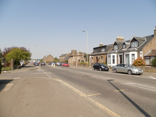
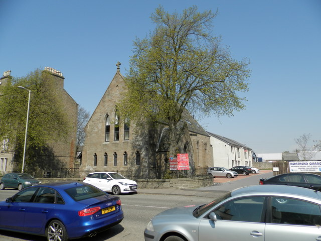
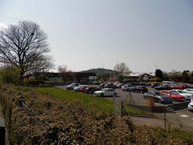
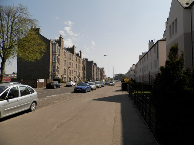
Trottick is a small village located in the county of Angus, Scotland. Situated approximately 3 miles northeast of the city of Dundee, Trottick is a residential area that offers a peaceful and picturesque setting for its residents.
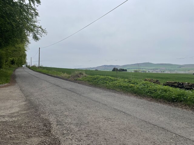
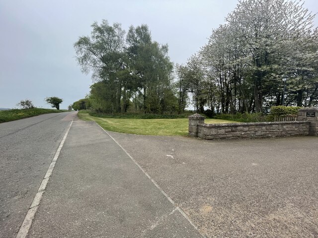
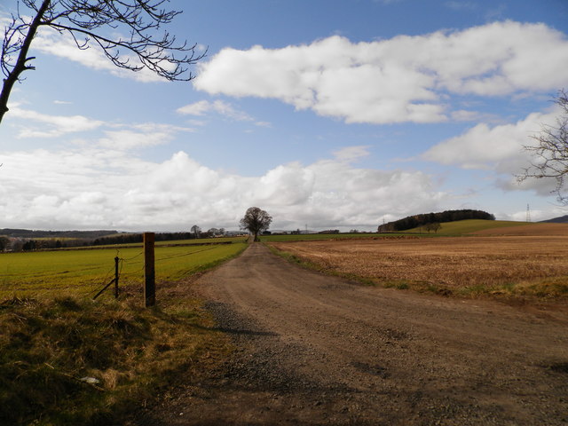
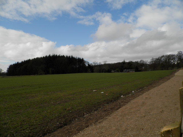
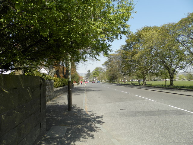
The village is surrounded by beautiful countryside and boasts stunning views of the nearby Sidlaw Hills, making it an ideal location for nature lovers and outdoor enthusiasts. The area is known for its rolling green fields and tranquil atmosphere, providing residents with a sense of serenity away from the hustle and bustle of city life.
Trottick is a close-knit community, with a small population that primarily consists of families and retirees. The village has a strong sense of community spirit, with various local events and activities organized throughout the year, including summer fêtes and Christmas markets.
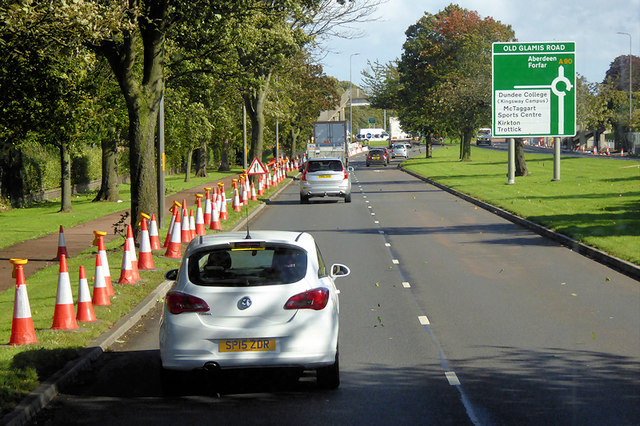
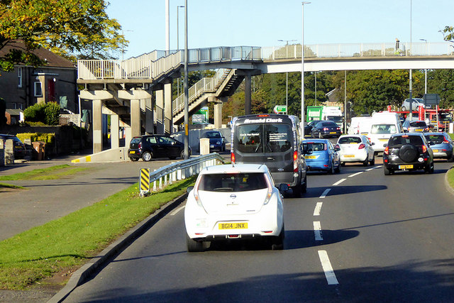
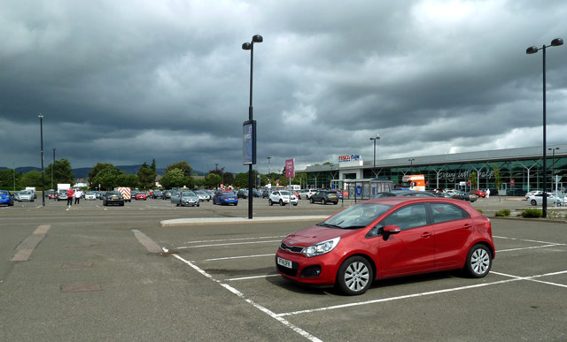
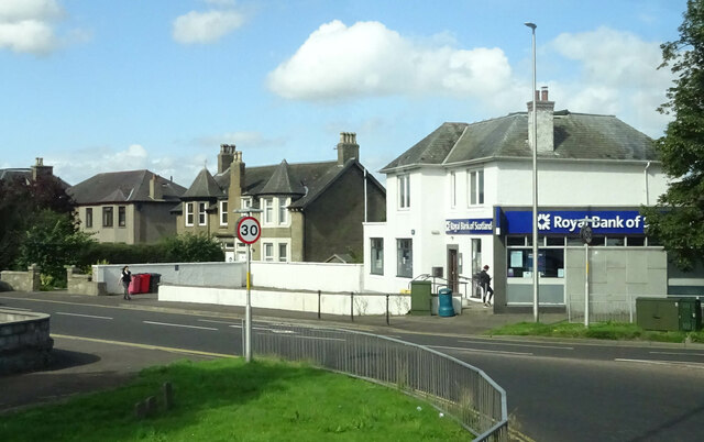
While primarily a residential area, Trottick is conveniently located near Dundee, which offers a range of amenities and services. Residents can easily access shops, supermarkets, healthcare facilities, and educational institutions in the city, ensuring that all their needs are met.
Overall, Trottick is a charming village that offers a beautiful natural setting, a strong sense of community, and easy access to nearby amenities. It is a sought-after location for those seeking a peaceful and idyllic place to call home.
If you have any feedback on the listing, please let us know in the comments section below.
Trottick Images
Images are sourced within 2km of 56.49287/-2.9737747 or Grid Reference NO4033. Thanks to Geograph Open Source API. All images are credited.


Trottick is located at Grid Ref: NO4033 (Lat: 56.49287, Lng: -2.9737747)
Unitary Authority: City of Dundee
Police Authority: Tayside
What 3 Words
///chest.scan.perky. Near Dundee, Dundee City
Nearby Locations
Related Wikis
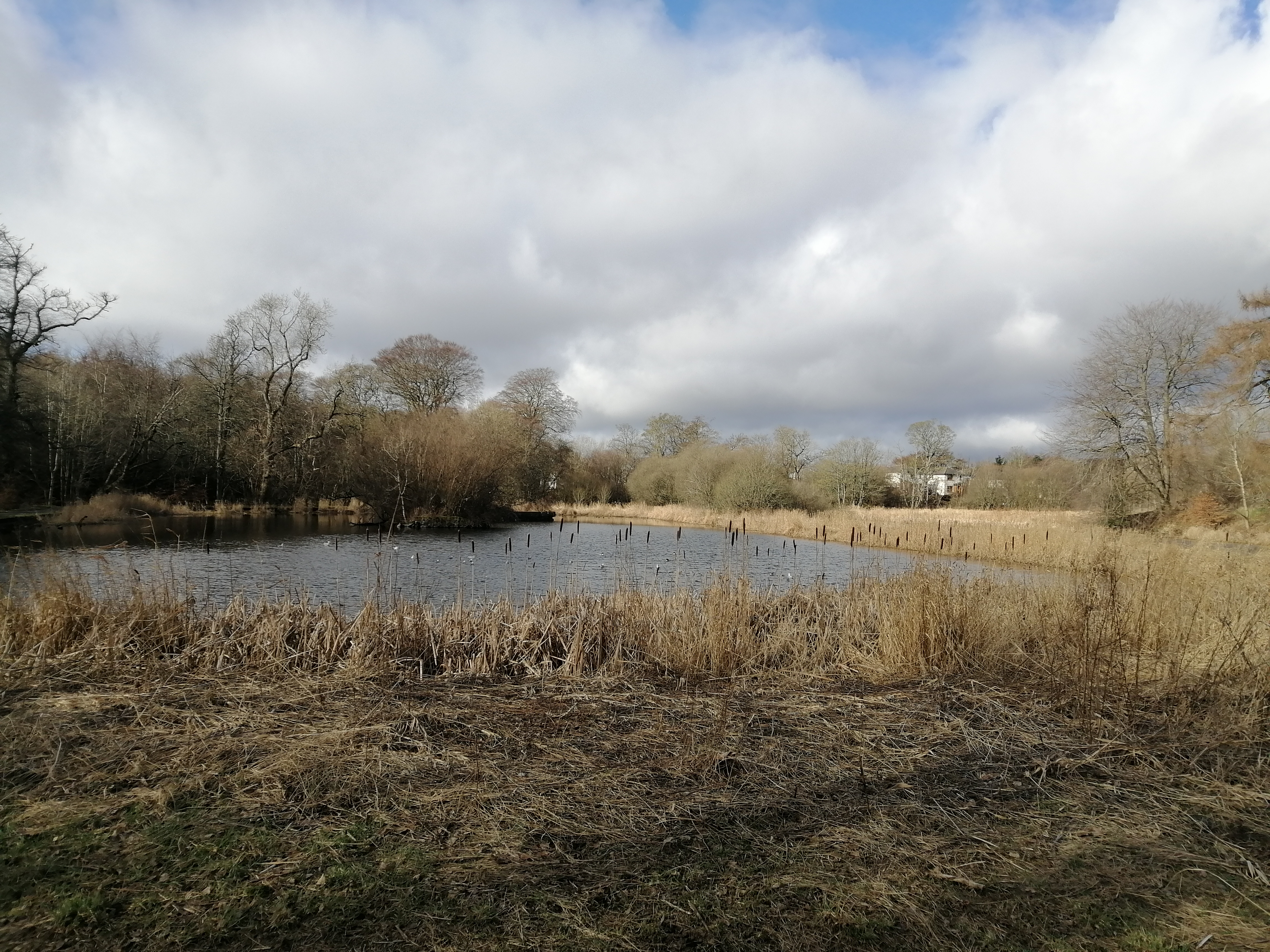
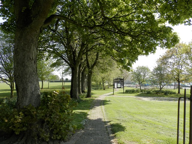
Trottick Mill Ponds
Trottick Mill Ponds and Nature Reserve is a local nature reserve located in the Trottick area in Dundee, Scotland. The nature reserve connects with the...

Claverhouse
Claverhouse is a residential area located on the northern outskirts of Dundee, Scotland with the city centre located 2 miles (3.2 km) from the area....

St Paul's Roman Catholic Academy
St. Paul's R.C. Academy is a Roman Catholic secondary school in Dundee, Scotland. == History == The school was established in 2009 as a merger between...

Scottish School of Contemporary Dance
The Scottish School of Contemporary Dance is a dance and performing arts school affiliated with the Dundee College. It offers a four-year training from...
Nearby Amenities
Located within 500m of 56.49287,-2.9737747Have you been to Trottick?
Leave your review of Trottick below (or comments, questions and feedback).