Barrow

Settlement in Suffolk West Suffolk

England

Barrow

Wheat field near Barrow
Wheat field near Barrow Credit: Jonathan Thacker

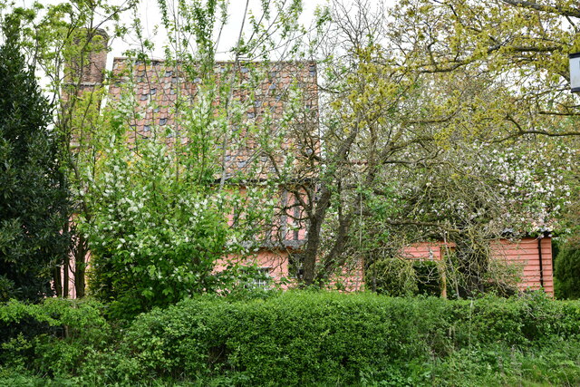
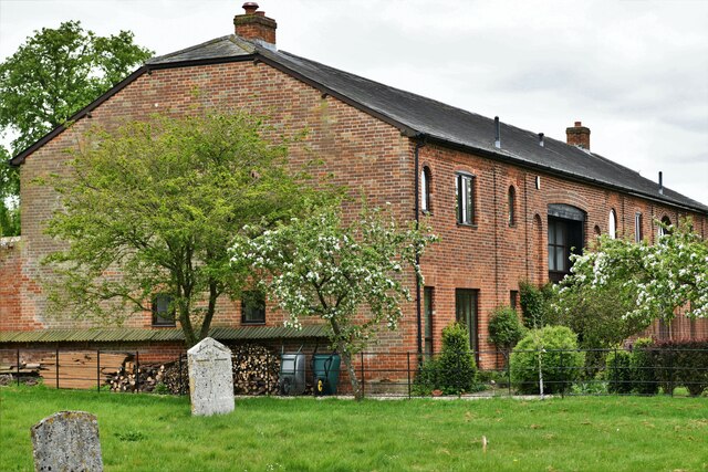
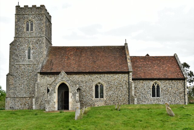
Barrow is a small village located in the county of Suffolk, in the eastern part of England. Situated about 12 miles northwest of the county town of Ipswich, Barrow is nestled within the scenic countryside of the River Gipping Valley. The village is part of the Mid Suffolk district and has a population of around 1,500 residents.

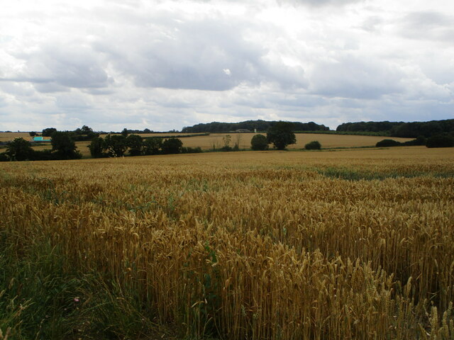
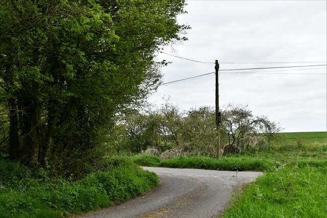
Known for its picturesque charm, Barrow offers a tranquil and idyllic setting. The village is surrounded by lush green fields, farmland, and gently rolling hills, providing an appealing backdrop for outdoor enthusiasts and nature lovers. The River Gipping runs nearby, offering opportunities for recreational activities such as fishing and boating.

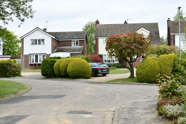
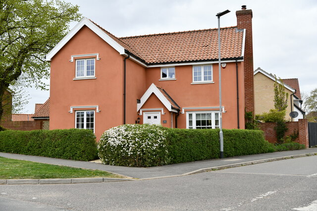
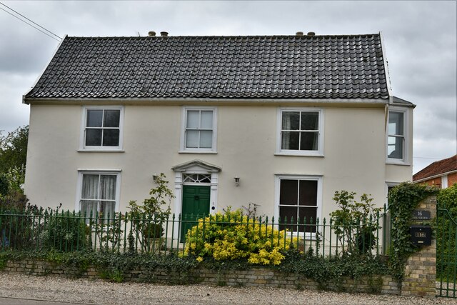
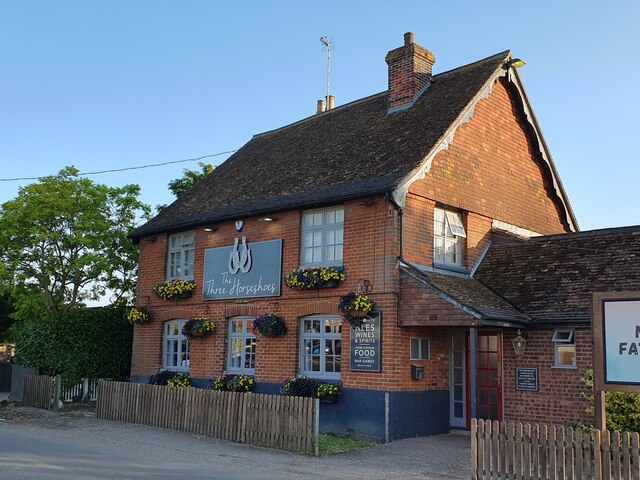
In terms of amenities, Barrow boasts a range of facilities to cater to residents' needs. These include a primary school, a village hall, a post office, a convenience store, and a pub. The village also has a strong sense of community, with various clubs and societies offering opportunities for social engagement and participation.

Barrow is well-connected to nearby towns and cities, with regular bus services running to Ipswich and surrounding areas. The village is also conveniently located near the A14, a major road that provides easy access to destinations across the region.

Overall, Barrow offers a peaceful and close-knit community, combined with its beautiful natural surroundings, making it an attractive place to live for those seeking a rural lifestyle with easy access to nearby amenities and transport links.

If you have any feedback on the listing, please let us know in the comments section below.
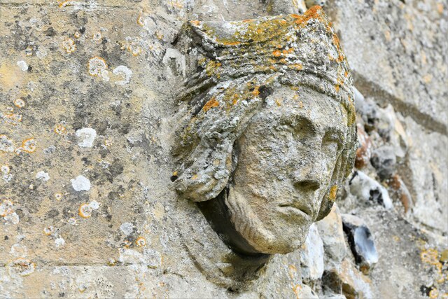
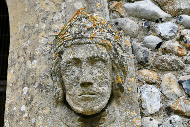
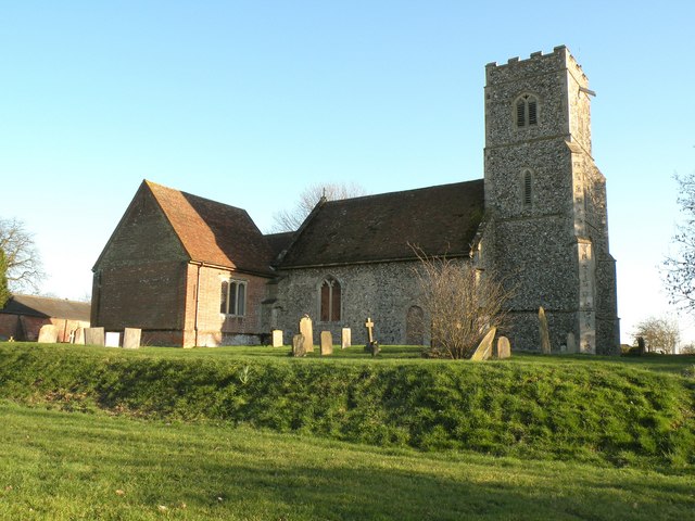
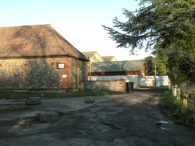
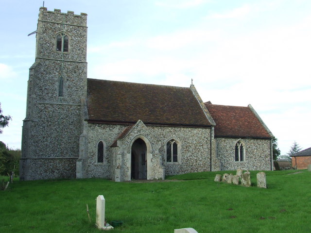
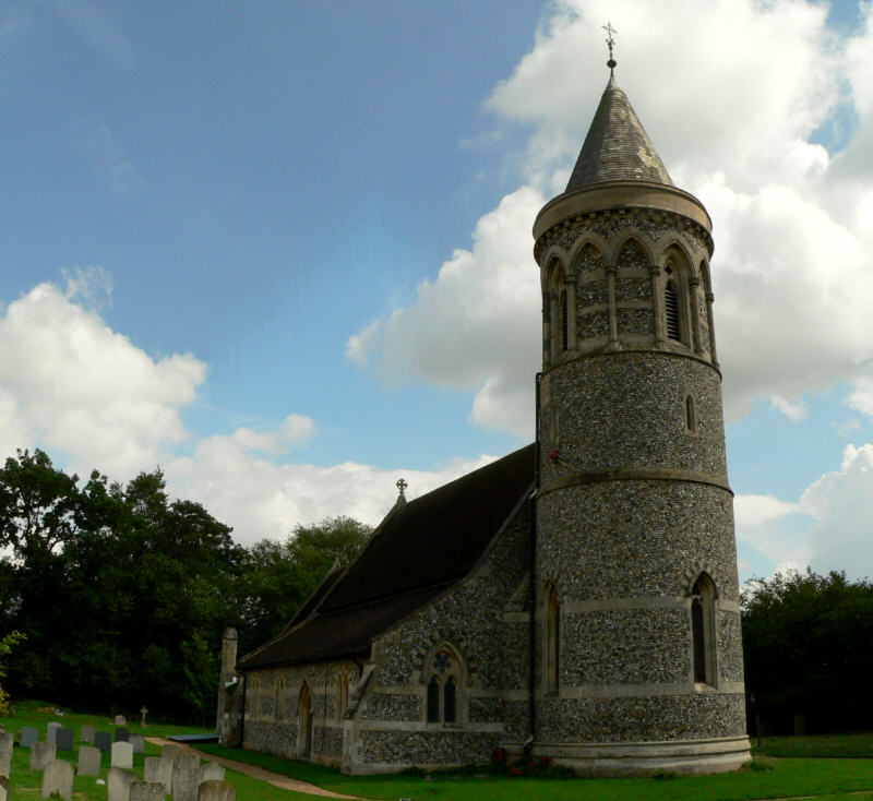
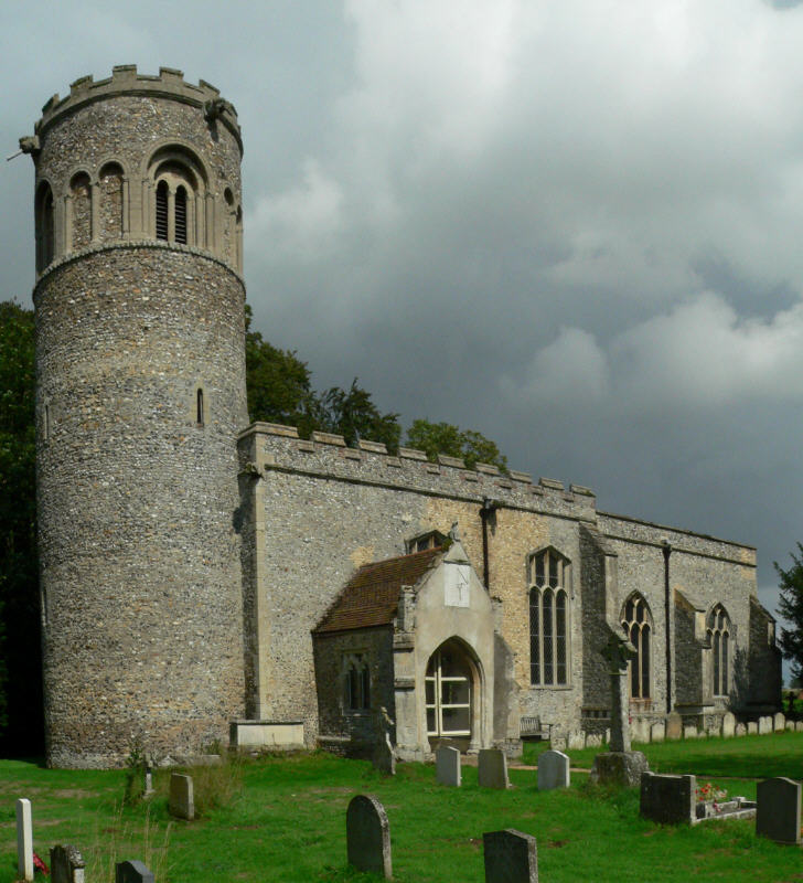
Barrow Images

Images are sourced within 2km of 52.241125/0.58317175 or Grid Reference TL7663. Thanks to Geograph Open Source API. All images are credited.

Wheat field near Barrow
Burthorpe: Two detached houses in Papeley Meadow
Barrow: 46 The Green
Barrow: 16 The Green
Barrow: Denham End Farm
Barrow: Crop
Barrow: Crop
Denham: Barrow Road junction
Denham, St. Mary's Church: Northern aspect
Denham, St. Mary's Church: Northern aspect of the nave showing blocked doorway
Denham: Housing block
Denham, St. Mary's Church: Southern aspect
Denham, St. Mary's Church: South porch entrance head stop (aspect 1)
Denham, St. Mary's Church: South porch entrance head stop (aspect 2)
Denham, St. Mary's Church: South porch entrance head stop (aspect 1)
Denham, St. Mary's Church: South porch entrance head stop (aspect 2)
The Three Horseshoes, Barrow
St. Mary: the parish church of Denham Although there are some small fragments left of the Norman church, it was almost entirely rebuilt in the 19th century. It stands very close to Denham Hall.
St. Mary: the parish church of Denham
Although there are some small fragments left of the Norman church, it was almost entirely rebuilt in the 19th century. It stands very close to Denham Hall.
The entrance to Barrow Hall Farm
Show me another place!

Barrow is located at Grid Ref: TL7663 (Lat: 52.241125, Lng: 0.58317175)

Administrative County: Suffolk

District: West Suffolk

Police Authority: Suffolk

What 3 Words

///softly.period.reckons. Near Bury St Edmunds, Suffolk

Nearby Locations

Barrow

Related Wikis

Barrow, Suffolk

Barrow is a village and civil parish in the West Suffolk district of Suffolk, England, about eight miles west of Bury St Edmunds. According to Eilert Ekwall...

Denham Castle

Denham Castle, also known as Castle Holes, is a medieval motte and bailey castle near the village of Gazeley, Suffolk, England. The castle was also known...

Great Saxham

Great Saxham is a village and former civil parish, now in the parish of The Saxhams, in the West Suffolk district, in the county of Suffolk, England. The...

Saxham Hall

Great Saxham Hall is a two-storey Palladian house situated at Great Saxham, just outside Bury St Edmunds in Suffolk, England. It is a Grade II* listed...

Denham, West Suffolk

Denham is a village and civil parish in the West Suffolk district of Suffolk in eastern England. Located around five miles west of Bury St Edmunds, in...

Higham, West Suffolk

Higham is a village and civil parish in the West Suffolk district of Suffolk in the east of England. Located midway between Bury St Edmunds and Newmarket...

Little Saxham

Little Saxham is a village and former civil parish, now in the parish of The Saxhams, in the West Suffolk district, in the county of Suffolk, England....

Desning Hall

Desning Hall was a manor house in Risbridge Hundred, in Suffolk, England, dating from Anglo-Saxon times. Desning Hall's last resident was Sidney Arthur...

Nearby Amenities

Located within 500m of 52.241125,0.58317175
Barrow
Is In: Suffolk
Place: village
Wikidata: Q1908933
Lat/Long: 52.2421932/0.5837441
Barrier: bollard
Bicycle: yes
Foot: yes
Lat/Long: 52.2439982/0.5817406
Barrier: bollard
Bicycle: yes
Foot: yes
Lat/Long: 52.2436977/0.581276
War Memorial
Historic: memorial
Memorial: obelisk
Lat/Long: 52.2412634/0.583264
Post Box
Brand: Royal Mail
Brand Wikidata: Q638098
Collection Times: Mo-Fr 16:00; Sa 07:00
Drive Through: no
Operator: Royal Mail
Operator Wikidata: Q638098
Post Box Type: pillar
Ref: IP29 2252
Royal Cypher: EIIR
Royal Cypher Wikidata: Q33102113
Lat/Long: 52.2437516/0.5869143
Public Bookcase
Booth: K6
Covered: booth
Disused Amenity: telephone
Listed Status: Grade II
Lit: no
Man Made: telephone_box
Public Bookcase Type: phone_box
Lat/Long: 52.2408801/0.5830977
Recycling
Recycling Clothes: yes
Recycling Glass: yes
Lat/Long: 52.24081/0.5831649
Barrier: bollard
Bicycle: yes
Bollard: fixed
Foot: yes
Height: 1
Horse: no
Material: concrete
Motor Vehicle: no
Lat/Long: 52.24157/0.5827331
Barrier: bollard
Bicycle: yes
Foot: yes
Horse: no
Motor Vehicle: no
Lat/Long: 52.2415957/0.5844665
Barrier: stile
Foot: yes
Lat/Long: 52.2446784/0.5801931
Bus Stop
Bus: yes
Operator: Mulleys
Public Transport: platform
Shelter: yes
Lat/Long: 52.2408544/0.5833512
Bus Stop
Mill Lane
Bus: yes
Naptan AtcoCode: 390050046
Naptan Bearing: SW
Naptan CommonName: Mill Lane
Naptan Indicator: opp
Naptan Landmark: Mill Lane
Naptan NaptanCode: sufgdgda
Naptan Street: Bury Road
Naptan Verified: no
Public Transport: platform
Shelter: yes
Source: naptan_import
Lat/Long: 52.2428099/0.5872904
Bus Stop
Mill Lane
Bus: yes
Naptan AtcoCode: 390050047
Naptan Bearing: NE
Naptan BusStopType: CUS
Naptan CommonName: Mill Lane
Naptan Indicator: adj
Naptan Landmark: Mill Lane
Naptan NaptanCode: sufgdgdg
Naptan Street: Bury Road
Naptan Verified: no
Public Transport: platform
Shelter: no
Source: naptan_import
Lat/Long: 52.2429145/0.5872298
Bus Stop
The Green
Bus: yes
Departures Board: timetable
Naptan AtcoCode: 390050048
Naptan Bearing: NW
Naptan CommonName: The Green
Naptan Indicator: opp
Naptan Landmark: The Green
Naptan NaptanCode: sufgdgdj
Naptan Street: The Street
Naptan Verified: no
Operator: Mulleys
Public Transport: platform
Source: naptan_import
Lat/Long: 52.2414234/0.5830785
The Green
Naptan AtcoCode: 390050049
Naptan Bearing: SE
Naptan BusStopType: CUS
Naptan CommonName: The Green
Naptan Indicator: adj
Naptan Landmark: The Green
Naptan NaptanCode: sufgdgdm
Naptan Street: The Street
Naptan Verified: no
Source: naptan_import
Lat/Long: 52.2415342/0.5829159
Bus Stop
Three Horseshoes
Bus: yes
Departures Board: timetable
Naptan AtcoCode: 390050050
Naptan Bearing: SE
Naptan CommonName: Three Horseshoes
Naptan Indicator: opp
Naptan Landmark: Three Horseshoes
Naptan NaptanCode: sufgdgdp
Naptan Street: The Street
Naptan Verified: no
Operator: Mulleys
Public Transport: platform
Shelter: yes
Source: naptan_import
Lat/Long: 52.2442027/0.5800943
Bus Stop
Green
Bus: yes
Naptan AtcoCode: 390051078
Naptan Bearing: SW
Naptan BusStopType: CUS
Naptan CommonName: Green
Naptan Indicator: adj
Naptan Landmark: Green
Naptan NaptanCode: sufjgtpj
Naptan Street: Bury Road
Naptan Verified: no
Public Transport: platform
Shelter: no
Source: naptan_import
Lat/Long: 52.2417385/0.5850812
Bus Stop
Green
Bus: yes
Naptan AtcoCode: 390051079
Naptan Bearing: NE
Naptan BusStopType: CUS
Naptan CommonName: Green
Naptan Indicator: opp
Naptan Landmark: Green
Naptan NaptanCode: sufjgtpm
Naptan Street: Bury Road
Naptan Verified: no
Public Transport: platform
Shelter: no
Source: naptan_import
Lat/Long: 52.241786/0.5849668
Bus Stop
Autumn Close
Bus: yes
Naptan AtcoCode: 390051080
Naptan Bearing: W
Naptan BusStopType: CUS
Naptan CommonName: Autumn Close
Naptan Indicator: adj
Naptan Landmark: Autumn Close
Naptan NaptanCode: sufjgtpt
Naptan Street: Ley Road
Naptan Verified: no
Public Transport: platform
Shelter: no
Source: naptan_import
Lat/Long: 52.2438213/0.5864768
Bus Stop
Autumn Close
Bus: yes
Naptan AtcoCode: 390051081
Naptan Bearing: E
Naptan BusStopType: CUS
Naptan CommonName: Autumn Close
Naptan Indicator: opp
Naptan Landmark: Autumn Close
Naptan NaptanCode: sufjgtpw
Naptan Street: Ley Road
Naptan Verified: no
Public Transport: platform
Shelter: no
Source: naptan_import
Lat/Long: 52.2438925/0.5865103
Post Box
Collection Times: Mo-Sa 09:00
Drive Through: no
Not Operator Wikidata: Q638098
Operator: Royal Mail
Post Box Type: pillar
Ref: IP29 2109
Royal Cypher: EIIR
Royal Cypher Wikidata: Q33102113
Lat/Long: 52.2416935/0.5847398
Post Office
Barrow Post Office
Addr City: Bury St Edmunds
Addr Housename: Matts & More Store
Addr Housenumber: 1a
Addr Postcode: IP29 5AN
Addr Street: The Street
Addr Village: Barrow
Brand: Post Office
Brand Wikidata: Q1783168
Opening Hours: Mo-Fr 09:00-17:00; Sa 09:00-15:00
Ref Pol Id: 129212
Source: pol_branch_list_2018-01
Website: https://www.postoffice.co.uk/branch-finder/1711121/barrow
Lat/Long: 52.2415801/0.5824164
Post Box
Collection Times: Mo-Sa 09:00
Post Box Design: type_a
Post Box Type: pillar
Ref: IP29 2123
Royal Cypher: EIIR
Royal Cypher Wikidata: Q33102113
Lat/Long: 52.2435026/0.5808073
Crossing
Lat/Long: 52.2390193/0.58679
Entrance: main
Lat/Long: 52.2436688/0.5808241
Defibrillator
Defibrillator Location: outside Barrow Village Hall - to right of entrance
Emergency: defibrillator
Lat/Long: 52.2436587/0.5808337
Crossing
Lat/Long: 52.2435195/0.5807585
Crossing
Lat/Long: 52.2436893/0.5805855
Crossing
Lat/Long: 52.241554/0.5825575
The data included in this document is from www.openstreetmap.org. The data is made available under ODbL.

Have you been to Barrow?

Leave your review of Barrow below (or comments, questions and feedback).