Barrow

Settlement in Somerset Mendip

England

Barrow

Twelve Foot Rhyne This drainage ditch is typical of the levels of Somerset.
Twelve Foot Rhyne Credit: Jon Coupland

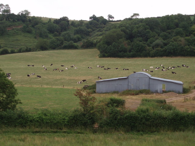
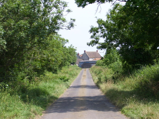
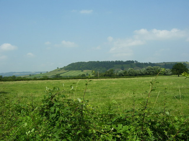
Barrow is a charming village located in the county of Somerset, England. Situated just 5 miles southwest of the market town of Yeovil, Barrow boasts a picturesque countryside setting with rolling hills and lush greenery, making it a desirable destination for nature lovers and those seeking tranquility.

The village itself is small, with a population of around 900 residents. It is characterized by its traditional stone cottages, quaint streets, and a sense of community that is evident in the friendly locals and various community events that take place throughout the year.

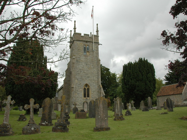
Barrow is home to the St. Mary's Church, a beautiful medieval parish church that dates back to the 13th century. This architectural gem serves as a significant historical landmark and attracts visitors interested in its rich heritage.

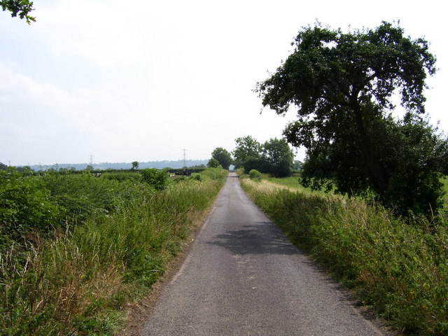
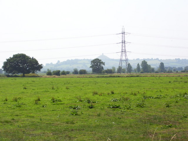
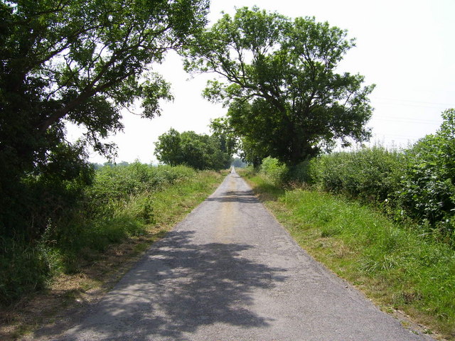
For outdoor enthusiasts, Barrow offers several scenic walking trails and countryside paths, providing an opportunity to explore the surrounding natural beauty. The village is also conveniently located near the Ham Hill Country Park, which offers stunning views, picnic spots, and a range of activities such as cycling and horse riding.

While Barrow may be a small village, it offers a modest range of amenities, including a primary school, a village hall, and a local pub. For additional services and amenities, residents can easily access the nearby town of Yeovil, which provides a wider range of shops, restaurants, and leisure facilities.

Overall, Barrow, Somerset, is an idyllic village that offers a peaceful and picturesque setting, making it an ideal place for those seeking a rural retreat within close proximity to larger towns and amenities.

If you have any feedback on the listing, please let us know in the comments section below.
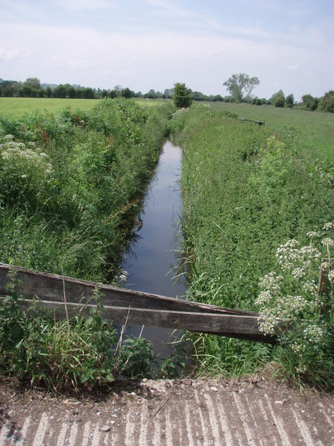
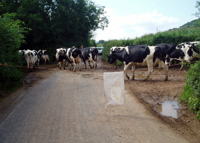
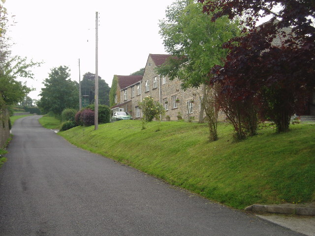
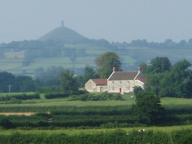
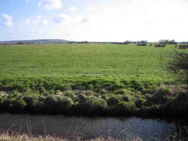
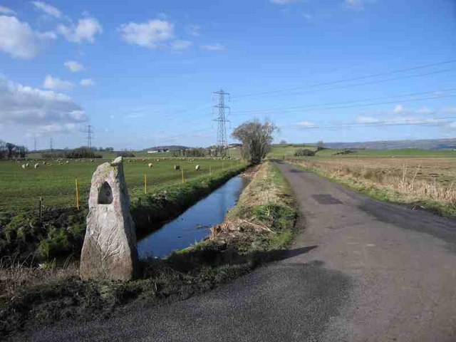
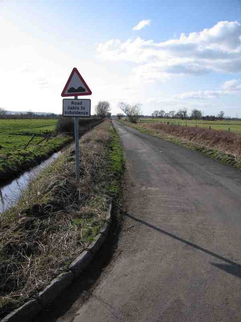
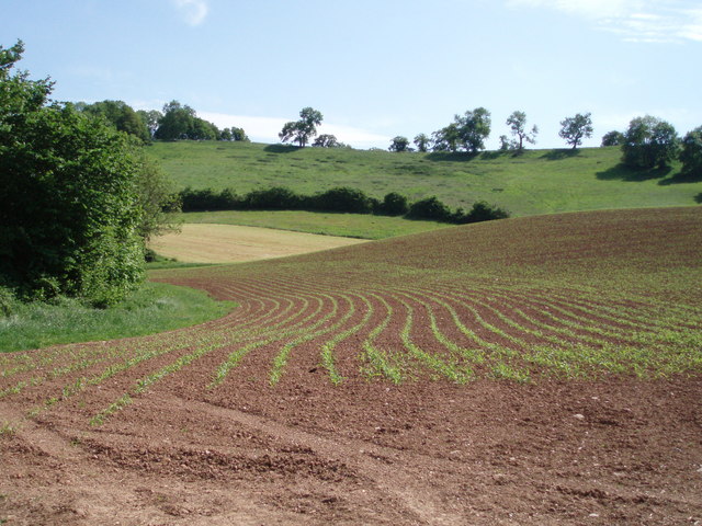
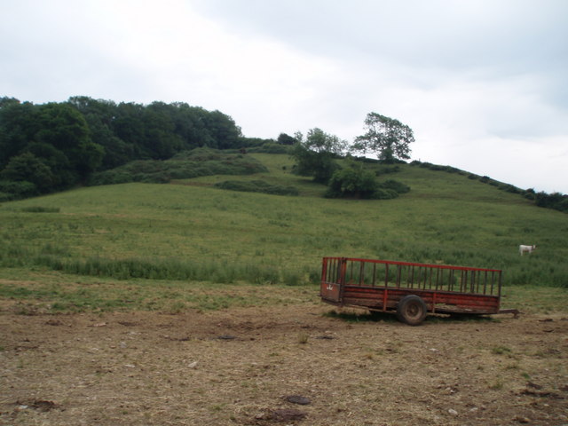
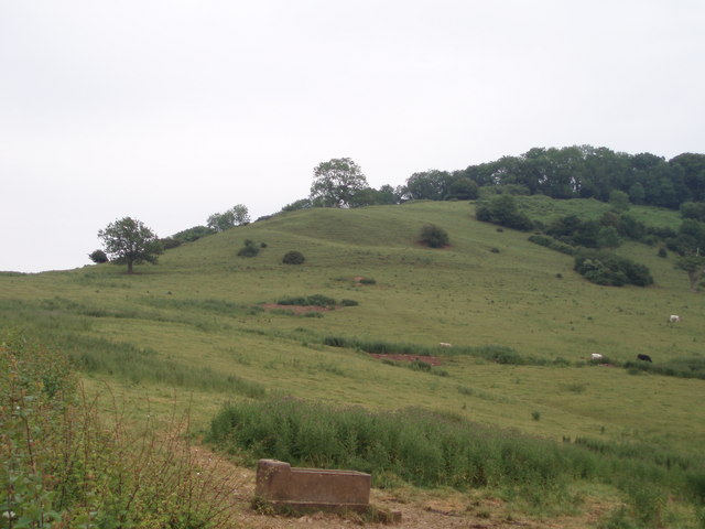
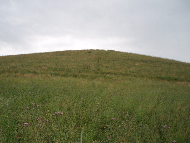
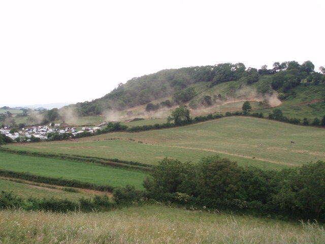
Barrow Images

Images are sourced within 2km of 51.171365/-2.643071 or Grid Reference ST5541. Thanks to Geograph Open Source API. All images are credited.

Twelve Foot Rhyne This drainage ditch is typical of the levels of Somerset.
Twelve Foot Rhyne
This drainage ditch is typical of the levels of Somerset.
Cows crossing Launcherley Road From the rich meadows of Launcherley Hill to the milking parlour
Cows crossing Launcherley Road
From the rich meadows of Launcherley Hill to the milking parlour
North Wootton - Crossroads Hotel Enlarged hotel big enough for weddings and larger functions in this small village.
North Wootton - Crossroads Hotel
Enlarged hotel big enough for weddings and larger functions in this small village.
Glastonbury Tor seen from North Wootton You can see the Tor rising from the flat meadows near Glastonbury from miles around.
Glastonbury Tor seen from North Wootton
You can see the Tor rising from the flat meadows near Glastonbury from miles around.
Queen's Sedge Moor
Queen's Sedge Moor
Harter's Hill Harter's Hill is in the background beyond the power lines. The funny little thing in the foreground is some sort of milestone to Wells; it read VI 3-3/4 M.
Harter's Hill
Harter's Hill is in the background beyond the power lines. The funny little thing in the foreground is some sort of milestone to Wells; it read VI 3-3/4 M.
Road across Queen's Sedge Moor Looking back (towards <a href="https://www.geograph.org.uk/gridref/ST5241">ST5241</a>) down the road across Queen's Sedge Moor. The sign warning of road subsidence is too right; and this road was not too bad. Others (with no signs) will throw you in the ditch if you do more than 50mph! If they don't do that they will rip your exhaust off.
Road across Queen's Sedge Moor
Looking back (towards ST5241) down the road across Queen's Sedge Moor. The sign warning of road subsidence is too right; and this road was not too bad. Others (with no signs) will throw you in the ditch if you do more than 50mph! If they don't do that they will rip your exhaust off.
Vanishing footpath The hill in the background is deceptively steep, and eventually leads around to Worminster Down and Launcherly Hill.  The footpath is meant to go straight through the middle of the ploughed field - but there was no sign of it and we kept to the hedgerows.
Vanishing footpath
The hill in the background is deceptively steep, and eventually leads around to Worminster Down and Launcherly Hill. The footpath is meant to go straight through the middle of the ploughed field - but there was no sign of it and we kept to the hedgerows.
Launcherly and Twinhills wood. A view of the steep north facing flank of Launcherly hill with Twinhill woods to the left of the photograph.
Launcherly and Twinhills wood.
A view of the steep north facing flank of Launcherly hill with Twinhill woods to the left of the photograph.
Launcherly hill and wood A view of the steep, undulating south-west facing flank of Launcherly hill.
Launcherly hill and wood
A view of the steep, undulating south-west facing flank of Launcherly hill.
Barrow Hill A small hill, reaching about 45m high with a wonderful view across the moors towards Glastonbury.
Barrow Hill
A small hill, reaching about 45m high with a wonderful view across the moors towards Glastonbury.
Scrambling on Launcherley Hill The steep south facing flank of Launcherley hill being used as a motor bike scrambling track.  The dust has been kicked up by the bikes and the noise was deafening.  Taken from Barrow Hill.
Scrambling on Launcherley Hill
The steep south facing flank of Launcherley hill being used as a motor bike scrambling track. The dust has been kicked up by the bikes and the noise was deafening. Taken from Barrow Hill.
Barn and cows A large barn and cattle below the eastern end of Launcherley hill.
Barn and cows
A large barn and cattle below the eastern end of Launcherley hill.
South to Barrow Farm Looking south on the road from Launcherley Farm to Barrow Farm (New Road?) at its junction with Lovell's Drove.
South to Barrow Farm
Looking south on the road from Launcherley Farm to Barrow Farm (New Road?) at its junction with Lovell's Drove.
Across Queen's Sedge Moor to Glastonbury Tor Taken from the junction of the road from Launcherley Farm to Barrow Farm (New Road?) with Lovell's Drove. Glastonbury Tor can be seen in the distance.
Across Queen's Sedge Moor to Glastonbury Tor
Taken from the junction of the road from Launcherley Farm to Barrow Farm (New Road?) with Lovell's Drove. Glastonbury Tor can be seen in the distance.
Looking southwest down New Road Looking southwest down New Road from its junction with Barrow Lane
Looking southwest down New Road
Looking southwest down New Road from its junction with Barrow Lane
Looking east-south-east down Barrow Lane Looking east-south-east down Barrow Lane from its junction with New Road to Barrow Farm
Looking east-south-east down Barrow Lane
Looking east-south-east down Barrow Lane from its junction with New Road to Barrow Farm
View to the north from Barrow Lane View to the north from the junction of Barrow Lane with New Road showing Launcherley Hill.
View to the north from Barrow Lane
View to the north from the junction of Barrow Lane with New Road showing Launcherley Hill.
Show me another place!

Barrow is located at Grid Ref: ST5541 (Lat: 51.171365, Lng: -2.643071)

Administrative County: Somerset

District: Mendip

Police Authority: Avon and Somerset

What 3 Words

///topples.pigment.duplicity. Near Wells, Somerset

Nearby Locations

Barrow

Related Wikis

Church of St Peter, North Wootton

The Anglican Church of St Peter in North Wootton, Somerset, England was built in the 14th or 15th century. It is a Grade II* listed building. == History... ==

North Wootton, Somerset

North Wootton is a village and civil parish, on the River Redlake, 2.5 miles (4.0 km) south east of Wells, and 3.5 miles (5.6 km) south west of Shepton...

Twinhills Woods and Meadows

Twinhills Woods and Meadows (grid reference ST558432) is a 21.2 hectare (52.4 acre) biological Site of Special Scientific Interest on the Monarch's Way...

West Pennard railway station

West Pennard railway station was a station on the Highbridge branch of the Somerset and Dorset Joint Railway. Opened on 3 February 1862, it was reduced...

Christ Church, Coxley

Christ Church is a Church of England church in Coxley, Somerset, England. It was built in 1839–40 to the designs of Richard Carver and is a Grade II listed...

West Pennard

West Pennard (or West Pennard Manor) is a village and civil parish east of Glastonbury, situated at the foot of Pennard Hill, in Somerset, England. The...

Wells East Somerset railway station

Wells station in the Somerset city of Wells was the terminus of the East Somerset Railway line from Witham and opened when the line was extended from Shepton...

Dulcote Quarry

Dulcote Quarry is a disused limestone quarry at Dulcote, near Wells on the Mendip Hills, Somerset, England. The quarry measures around 600 metres (2,000...

Nearby Amenities

Located within 500m of 51.171365,-2.643071
Colour: grey
Design: three-level
Height: 7.77
Line Attachment: suspension
Material: metal
Operator: National Grid
Operator Wikidata: Q1465461
Power: tower
Ref: ZG105
Source: Bing
Start Date: 1960
Structure: lattice
Lat/Long: 51.1676629/-2.6419312
Colour: grey
Design: three-level
Height: 7.62
Line Attachment: suspension
Material: metal
Operator: National Grid
Operator Wikidata: Q1465461
Power: tower
Ref: ZG104
Source: Bing
Start Date: 1960
Structure: lattice
Lat/Long: 51.1692488/-2.6460163
Barrow
Place: hamlet
Lat/Long: 51.1725898/-2.642287
The data included in this document is from www.openstreetmap.org. The data is made available under ODbL.

Have you been to Barrow?

Leave your review of Barrow below (or comments, questions and feedback).