Barrow

Settlement in Gloucestershire Tewkesbury

England

Barrow

The Gloucester Old Spot On the A4019.
The Gloucester Old Spot Credit: JThomas

Barrow is a small village located in the county of Gloucestershire, England. Situated in the picturesque Cotswold district, it is nestled in the valley of the River Frome. The village is approximately 5 miles southwest of the larger town of Stroud and is surrounded by rolling hills and lush green countryside.

Barrow is known for its quaint and charming atmosphere, with traditional stone cottages lining its narrow streets. The village has a close-knit community, with a population of around 500 residents. It offers a peaceful and idyllic setting, making it a popular destination for those seeking a rural retreat.

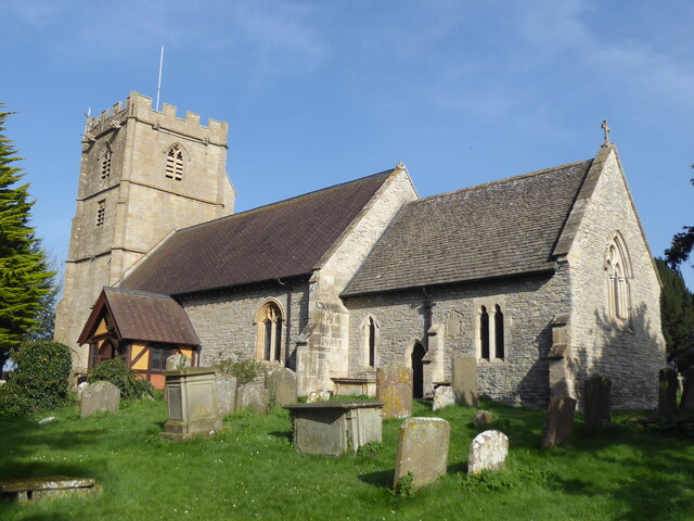
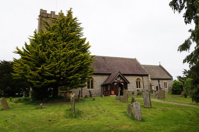
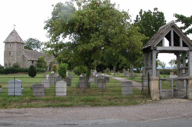
The village boasts a number of amenities, including a local pub, a primary school, and a village hall which hosts various community events throughout the year. Barrow also has a beautiful church, St. Bartholomew's, which dates back to the 12th century and is a significant historical landmark in the area.

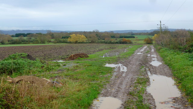
Surrounded by stunning natural beauty, Barrow offers ample opportunities for outdoor activities. The nearby Cotswold Way, a long-distance footpath, passes through the village, providing residents and visitors with scenic walks and hikes. The River Frome is also a popular spot for fishing and boating enthusiasts.

Overall, Barrow is a charming and peaceful village that offers a close community spirit and easy access to the stunning Cotswold countryside. Its picturesque setting and range of amenities make it an attractive place to live or visit for those seeking a tranquil rural lifestyle.

If you have any feedback on the listing, please let us know in the comments section below.
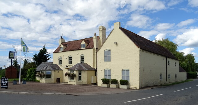
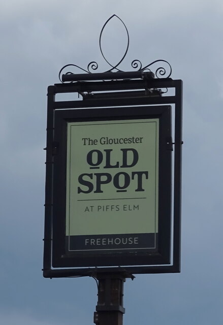
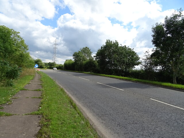
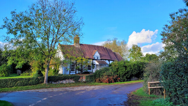
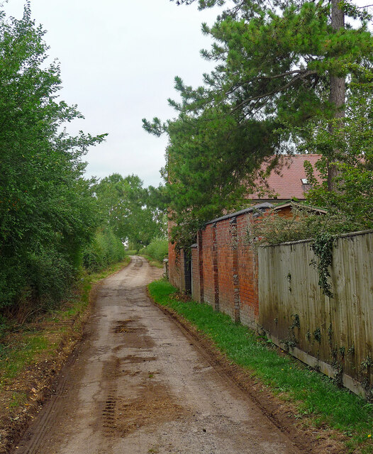
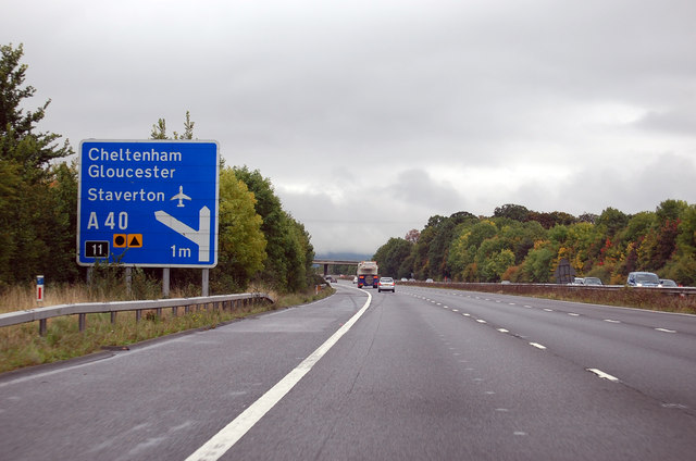
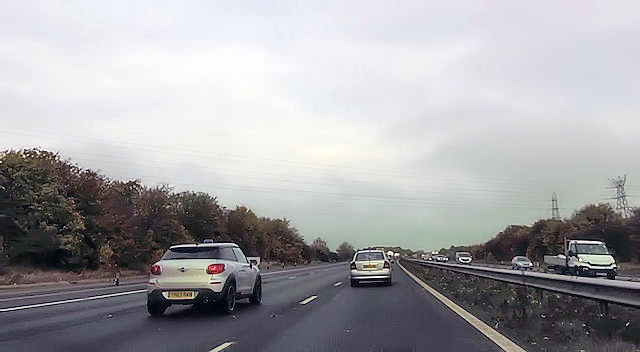
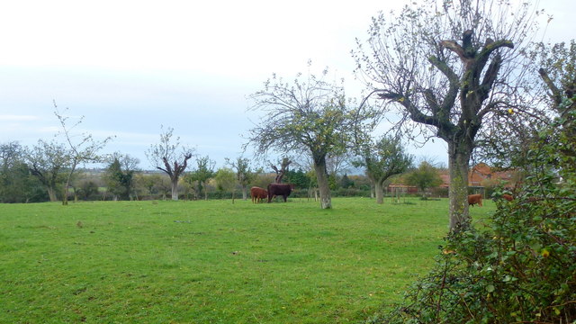
Barrow Images

Images are sourced within 2km of 51.92102/-2.169369 or Grid Reference SO8824. Thanks to Geograph Open Source API. All images are credited.

The Gloucester Old Spot On the A4019.
The Gloucester Old Spot
On the A4019.
Sign for the Gloucester Old Spot
A4019 towards Cheltenham
Cottage at The Leigh The Leigh is a quiet backwater just off the A38.
Cottage at The Leigh
The Leigh is a quiet backwater just off the A38.
Prior's Norton, St Mary
Bus stop on A4019, south of Knightsbridge
Little used bus stop by A38 at Pancake Corner The grass has spread over the pavement
Little used bus stop by A38 at Pancake Corner
The grass has spread over the pavement
Field gate and footpath at Pancake Corner
Old Manor House, Staverton Timber-framed, C16th main range, enlarged in the C17th and much restored in the C19th and C20th. Grade II listed.
Old Manor House, Staverton
Timber-framed, C16th main range, enlarged in the C17th and much restored in the C19th and C20th. Grade II listed.
Country road, Staverton Short, leading only to a farm and footpaths.
Country road, Staverton
Short, leading only to a farm and footpaths.
M5 electricity cables crossing Southbound at marker A79.3
M5 electricity cables crossing
Southbound at marker A79.3
M5 southbound 1 mile to Junction 11 Exit for the A40.
M5 southbound 1 mile to Junction 11
Exit for the A40.
Power lines crossing M5
Field edge north of Wood Farm, 2015 A fifth anniversary revisit to this spot showing that farming carries on as before. See <a href="https://www.geograph.org.uk/photo/2143513">SO8723 : Field edge north of Wood Farm</a>.
Field edge north of Wood Farm, 2015
A fifth anniversary revisit to this spot showing that farming carries on as before. See SO8723 : Field edge north of Wood Farm.
Beef in an old orchard The fruit trees are almost gone but this land at Pancake Corner supports beef cattle.
Beef in an old orchard
The fruit trees are almost gone but this land at Pancake Corner supports beef cattle.
Track and footpath The public footpath crosses the shallow Chelt valley to get to Boddington about a country mile away.
Track and footpath
The public footpath crosses the shallow Chelt valley to get to Boddington about a country mile away.
Tewkesbury District : The M5 Motorway Heading along the M5 Motorway through the Tewkesbury District of Gloucester.
Tewkesbury District : The M5 Motorway
Heading along the M5 Motorway through the Tewkesbury District of Gloucester.
Saint Mary's Church, Priors Norton
Show me another place!

Barrow is located at Grid Ref: SO8824 (Lat: 51.92102, Lng: -2.169369)

Administrative County: Gloucestershire

District: Tewkesbury

Police Authority: Gloucestershire

What 3 Words

///legroom.convey.takeovers. Near Churchdown, Gloucestershire

Nearby Locations

Barrow

Related Wikis

Barrow, Gloucestershire

The Barrow is a hamlet in Gloucestershire, England.ISS Boddington is within the hamlet. == References == == External links == Media related to Barrow...

ISS Boddington

ISS Boddington is an installation of Defence Digital (formerly Information Systems & Services), an operating cluster of the Ministry of Defence. It was...

Boddington, Gloucestershire

Boddington is a village and parish near Cheltenham. The population taken at the 2011 census was 266. It is home to RAF Boddington. == References... ==

Dudley Lloyd-Evans

Dudley Lloyd-Evans, (1895 – 20 March 1972) was a Welsh-born soldier, airman and flying ace. After being decorated for his infantry service during the...

Staverton, Gloucestershire

Staverton is a village between the city of Gloucester and the town of Cheltenham in Gloucestershire, England, in the borough of Tewkesbury. The population...

Leigh, Gloucestershire

Leigh is a village and civil parish in the district of Tewkesbury, in the county of Gloucestershire, England. As of 2019, it has a population of 325....

Knightsbridge, Gloucestershire

Knightsbridge is a hamlet neighbouring Elmstone-Hardwicke and Uckington, close to Junction 10 of the M5 motorway, near Cheltenham in Gloucestershire, England...

Coombe Hill, Tewkesbury

Coombe Hill is a hamlet in the civil parish of Leigh in Gloucestershire, England. It lies on the A38 road between Gloucester and Tewkesbury, at the junction...

Nearby Amenities

Located within 500m of 51.92102,-2.169369
Barrow
Is In: Gloucestershire, England, UK
Place: hamlet
Wikidata: Q4863837
Lat/Long: 51.9226142/-2.1689396
Bus Stop
Barrow House Farm
Naptan AtcoCode: 1600GL309
Naptan Bearing: NE
Naptan CommonName: Barrow House Farm
Naptan Indicator: Opp
Naptan NaptanCode: glodjwjt
Naptan Street: Boddington Lane
Naptan Verified: no
Source: naptan_import
Lat/Long: 51.9224435/-2.1672261
Bus Stop
Barrow House Farm
Naptan AtcoCode: 1600GL310
Naptan Bearing: SW
Naptan CommonName: Barrow House Farm
Naptan NaptanCode: glodjwjp
Naptan Street: Boddington Lane
Naptan Verified: no
Source: naptan_import
Lat/Long: 51.9223715/-2.1672549
Barrier: stile
Lat/Long: 51.9181497/-2.1718569
Barrow Farm
Landuse: farm
Note Retag: CS #48756035
Source: OS Opendata streetview
Lat/Long: 51.9204417/-2.1687928
Elm Trees Farm
Landuse: farm
Note Retag: CS #48756035
Source: OS Opendata streetview
Lat/Long: 51.9197072/-2.1662071
Power: tower
Source: Bing
Lat/Long: 51.9167109/-2.1699073
Power: tower
Source: Bing
Lat/Long: 51.9170879/-2.1659269
Post Box
Collection Times: Mo-Fr 16:15; Sa 09:00
Operator: Royal Mail
Post Box Type: lamp
Ref: GL51 302
Royal Cypher: EIIR
Royal Cypher Wikidata: Q33102113
Survey Date: 2017-02-07
Lat/Long: 51.9221172/-2.1680584
Aerialway: pylon
Location Transition: yes
Power: pole
Lat/Long: 51.9222209/-2.1646174
Boddington Road
Aerialway: pylon
Power: pole
Transformer: distribution
Voltage Primary: 11000
Lat/Long: 51.9222772/-2.1634792
Location Transition: yes
Power: pole
Lat/Long: 51.9199477/-2.1722929
Barrow Court
Power: pole
Transformer: distribution
Voltage Primary: 11000
Lat/Long: 51.9190883/-2.1677721
Power: pole
Lat/Long: 51.9194878/-2.1689053
Power: pole
Lat/Long: 51.9198642/-2.1699688
Power: pole
Lat/Long: 51.9202256/-2.1709934
Power: pole
Lat/Long: 51.9204738/-2.1698575
Power: pole
Lat/Long: 51.9207418/-2.1686196
Barrow Boddington
Power: pole
Transformer: distribution
Voltage Primary: 11000
Lat/Long: 51.9209105/-2.1678686
Power: pole
Lat/Long: 51.9210991/-2.1653017
Power: pole
Lat/Long: 51.9212058/-2.1639459
Power: pole
Lat/Long: 51.9216764/-2.164082
Location Transition: yes
Power: pole
Lat/Long: 51.9221524/-2.1642054
Power: pole
Lat/Long: 51.9210023/-2.1666133
The data included in this document is from www.openstreetmap.org. The data is made available under ODbL.

Have you been to Barrow?

Leave your review of Barrow below (or comments, questions and feedback).