Laughton Common

Settlement in Sussex Wealdon

England

Laughton Common

Line of Trees on historic Boundary bank Old Beech and Hornbeam trees on woodbank at Rowlands Wood, Park Corner.
Line of Trees on historic Boundary bank Credit: David Saunders

Laughton Common is a charming rural village located in the county of Sussex, England. Situated amidst picturesque countryside, the village offers a tranquil and idyllic setting for its residents. With a population of around 500 people, Laughton Common exudes a close-knit community atmosphere.

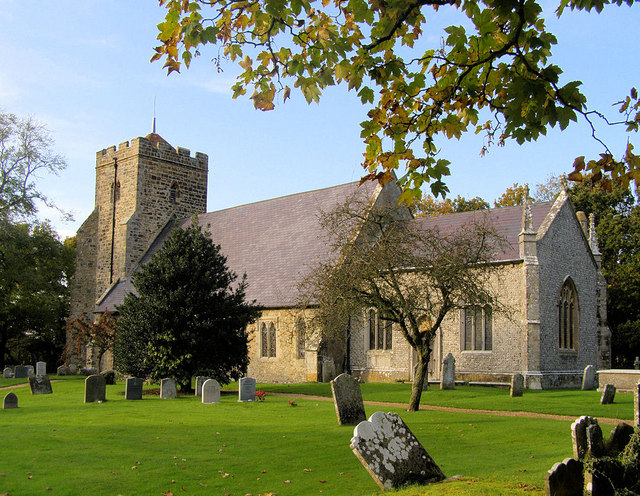
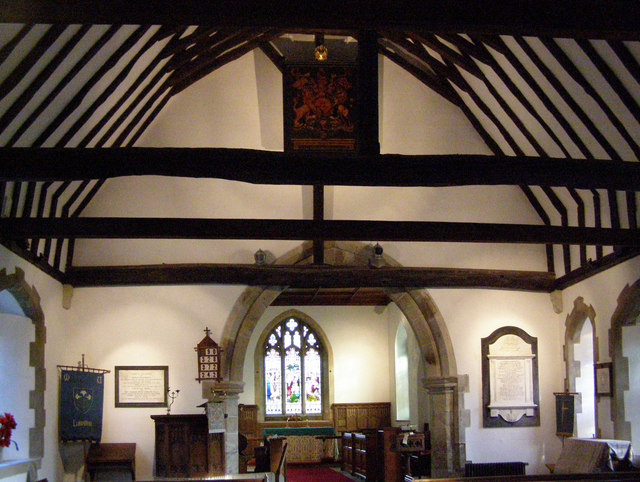
The village boasts a rich history, dating back to the medieval period. Its name is derived from the Old English word "hlaw" meaning "hill" and "tun" meaning "settlement," reflecting its elevated position in the surrounding landscape. Visitors can explore the remnants of the past in the form of historic buildings scattered throughout the village, including St. Swithun's Church, a beautiful Grade II listed structure.

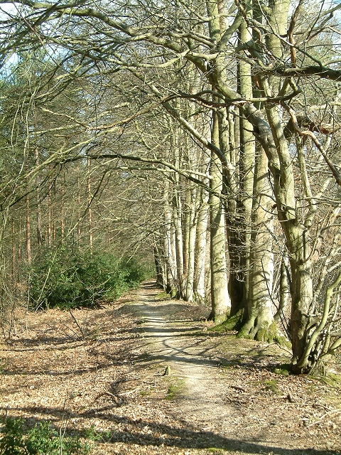
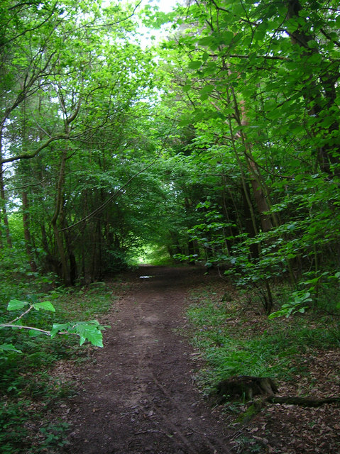
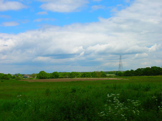
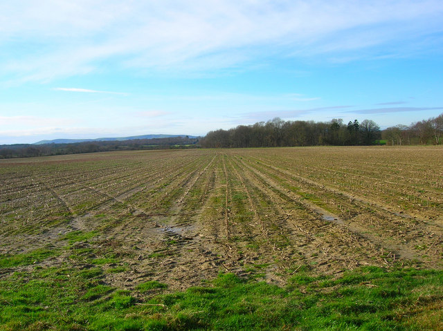
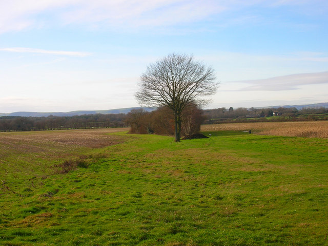
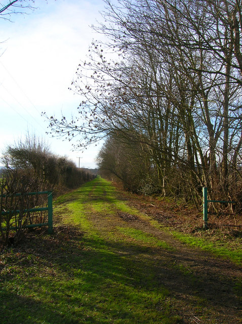
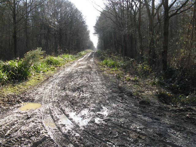
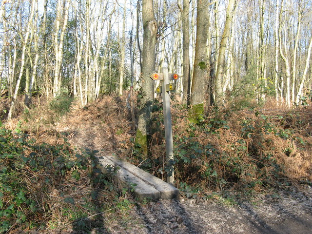
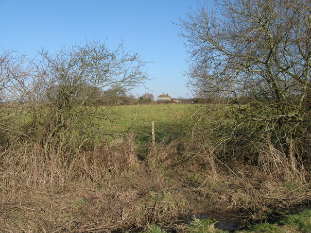
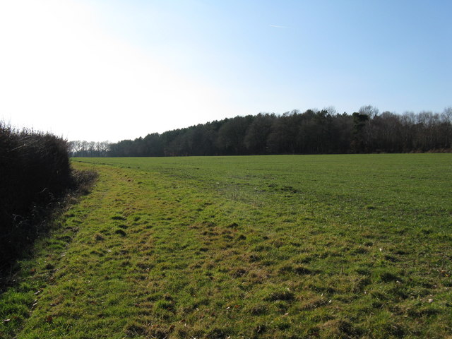
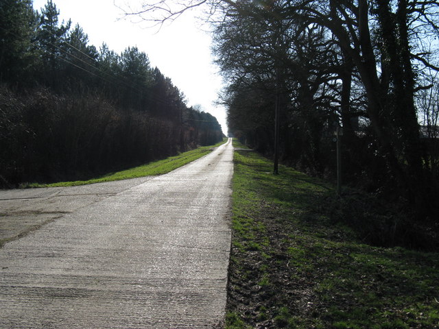
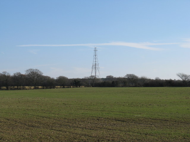
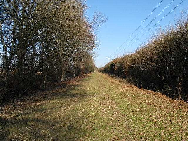
Nature lovers will find themselves in paradise in Laughton Common, as the village is surrounded by an abundance of natural beauty. The nearby South Downs National Park presents an array of opportunities for outdoor activities such as hiking, cycling, and birdwatching. The picturesque landscapes and rolling hills offer breathtaking views and a peaceful escape from the hustle and bustle of city life.

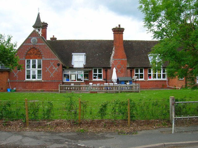
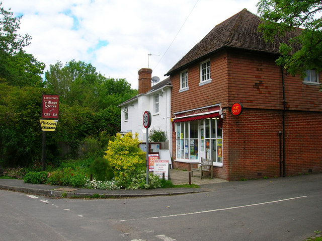
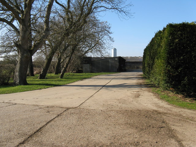
Despite its rural setting, Laughton Common offers a range of amenities to its residents. The village is home to a primary school, providing education for local children, and a local pub, where locals and visitors can gather for a pint and enjoy traditional British fare.

In conclusion, Laughton Common is a charming village in Sussex, offering a peaceful and picturesque setting for its residents. With its rich history, natural beauty, and close-knit community, it is a true hidden gem in the English countryside.

If you have any feedback on the listing, please let us know in the comments section below.

Laughton Common Images

Images are sourced within 2km of 50.909332/0.12392455 or Grid Reference TQ4914. Thanks to Geograph Open Source API. All images are credited.

Line of Trees on historic Boundary bank Old Beech and Hornbeam trees on woodbank at Rowlands Wood, Park Corner.
Line of Trees on historic Boundary bank
Old Beech and Hornbeam trees on woodbank at Rowlands Wood, Park Corner.
Laughton Community Primary School Small Victorian village school still going strong.
Laughton Community Primary School
Small Victorian village school still going strong.
Laughton Village Stores On the junction of the B2124 Lewes Road and Pound Lane.
Laughton Village Stores
On the junction of the B2124 Lewes Road and Pound Lane.
Laughton Common Wood Taken from Pound Lane track.
Laughton Common Wood
Taken from Pound Lane track.
Communications Mast near Laughton The building is Walls Farm. Taken from the track that links Laughton Common with Whitesmith.
Communications Mast near Laughton
The building is Walls Farm. Taken from the track that links Laughton Common with Whitesmith.
Looking Towards Bog Shaw Taken from the footpath that links Halland with Rowlands Wood. The South Downs can be seen in the background.
Looking Towards Bog Shaw
Taken from the footpath that links Halland with Rowlands Wood. The South Downs can be seen in the background.
Footpath to Shortgate Taken from its junction with the Halland-Rowlands Wood footpath.
Footpath to Shortgate
Taken from its junction with the Halland-Rowlands Wood footpath.
Footpath to Laughton Park Farm The footpath follows an old lane between two field boundaries on its way to Halland Park Farm.
Footpath to Laughton Park Farm
The footpath follows an old lane between two field boundaries on its way to Halland Park Farm.
All Saints Church, Laughton Laughton Church is about a mile south of the village. It was the parish church for the Pelham Family and the Pelham creast, the buckle, decorates the tower.
All Saints Church, Laughton
Laughton Church is about a mile south of the village. It was the parish church for the Pelham Family and the Pelham creast, the buckle, decorates the tower.
All Saints Church, Laughton The church has an uncluttered interior with few memorials. Note the Royal Arms for George III and the two helmets (Funeral Helms) in front of the chancel arch. The chancel is off set to the nave of the church and could indicated the angle of Christ's head on the cross.
All Saints Church, Laughton
The church has an uncluttered interior with few memorials. Note the Royal Arms for George III and the two helmets (Funeral Helms) in front of the chancel arch. The chancel is off set to the nave of the church and could indicated the angle of Christ's head on the cross.
Two byways converge Laughton Common Wood on the left, Brickhurst Wood on the right
Two byways converge
Laughton Common Wood on the left, Brickhurst Wood on the right
Path junction in Brickhurst Wood
Walls Farm
Walls Farm
Wood beside footpath to Laughton Park Farm
Footpath heading SW towards Laughton House The concrete road (footpath) continues NE until just past Laughton Park Farm where it becomes a grass path <a href="https://www.geograph.org.uk/photo/1175466">TQ5015 : Footpath to Halland Park Farm</a>.
Footpath heading SW towards Laughton House
The concrete road (footpath) continues NE until just past Laughton Park Farm where it becomes a grass path TQ5015 : Footpath to Halland Park Farm.
Farm buildings on Laughton Park Farm
Mast near Walls farm
Footpath to Halland Park Farm This is the continuation of concrete path in <a href="https://www.geograph.org.uk/photo/1174498">TQ5014 : Footpath heading SW towards Laughton House</a>
Footpath to Halland Park Farm
This is the continuation of concrete path in TQ5014 : Footpath heading SW towards Laughton House
Show me another place!

Laughton Common is located at Grid Ref: TQ4914 (Lat: 50.909332, Lng: 0.12392455)

Administrative County: East Sussex

District: Wealdon

Police Authority: Sussex

What 3 Words

///potions.unfit.dust. Near Ringmer, East Sussex

Related Wikis

Laughton, East Sussex

Laughton is a village and civil parish in the Wealden district of East Sussex, England. The village is located five miles (8 km) east of Lewes, at a junction...

Park Corner Heath

Park Corner Heath is a 2.9-hectare (7.2-acre) biological Site of Special Scientific Interest about 1.2 miles (2 km) south of East Hoathly, adjacent to...

Bentley Wildfowl and Motor Museum

The Bentley Wildfowl and Motor Museum was a visitor attraction near Halland, East Sussex, England. As of October 2018, it is closed to the public. ��2...

Broyle Place

Broyle Place is a historic house in Sussex, England. It is a Grade II listed Elizabethan manor house. In the 12th century, it belonged to Theobald, Archbishop...

East Hoathly with Halland

East Hoathly with Halland is a civil parish in the Wealden District of East Sussex, England. The parish contains the two villages of East Hoathly and...
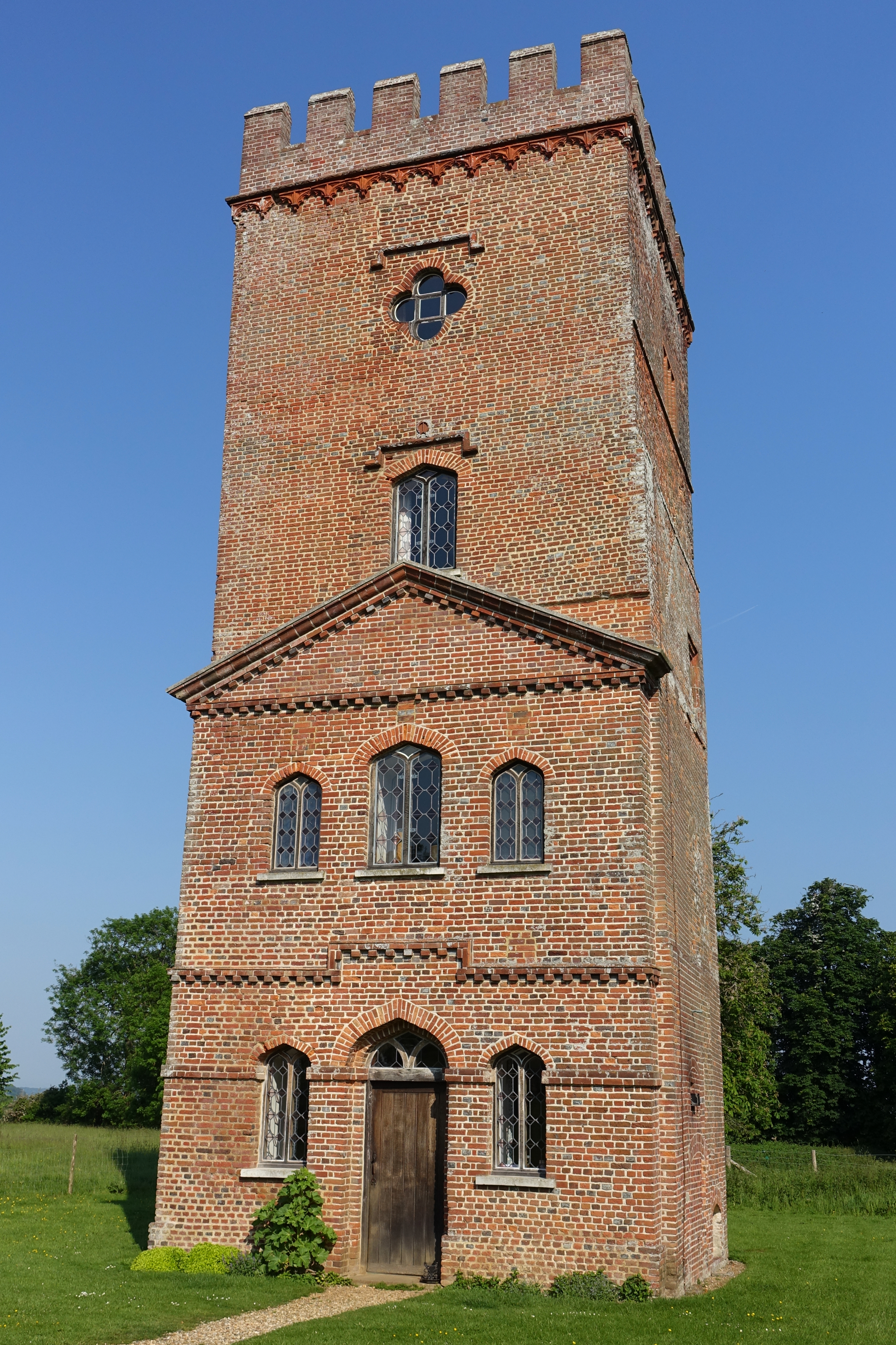
Laughton Place

Laughton Place is a historic building near Lewes, Sussex owned by the Landmark Trust. The Pelham family bought Laughton Place, an old fortified manor,...

Plashett Park Wood

Plashett Park Wood is a 157.6-hectare (389-acre) biological Site of Special Scientific Interest between Lewes and Uckfield in East Sussex.This ancient...

RAF Deanland

RAF Deanland is a former Royal Air Force advanced landing ground located 4 miles (6.4 km) west of Hailsham, East Sussex and 13.4 miles (21.6 km) north...

Nearby Amenities

Located within 500m of 50.909332,0.12392455
Post Box
Collection Times: Mo-Fr 15:30; Sa 09:30
Operator: Royal Mail
Post Box Type: lamp
Ref: BN8 542
Royal Cypher: EIIR
Royal Cypher Wikidata: Q33102113
Lat/Long: 50.9083902/0.1285177
Parkside Farm
Place: farm
Source Name: OS_OpenData_StreetView
Lat/Long: 50.9118616/0.1276624
Barrier: bollard
Lat/Long: 50.9096211/0.1234836
Barrier: stile
Lat/Long: 50.9063301/0.1240427
Addr City: Lewes
Addr Housename: Coppwilliam
Addr Postcode: BN8 6BY
Addr Street: Common Lane
Addr Village: Laughton
Lat/Long: 50.907502/0.1268117
Addr City: Lewes
Addr Housename: The Barn Coppwilliam
Addr Postcode: BN8 6BY
Addr Street: Common Lane
Addr Village: Laughton
Lat/Long: 50.9074523/0.1268654
Addr City: Lewes
Addr Housename: Annexe Coppwilliam
Addr Postcode: BN8 6BY
Addr Street: Common Lane
Addr Village: Laughton
Lat/Long: 50.9074658/0.1270146
The data included in this document is from www.openstreetmap.org. The data is made available under ODbL.

Have you been to Laughton Common?

Leave your review of Laughton Common below (or comments, questions and feedback).