Shortgate Wood
Wood, Forest in Sussex Wealden
England
Shortgate Wood
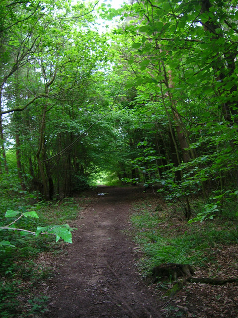
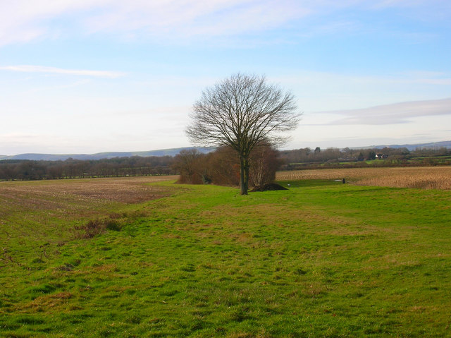
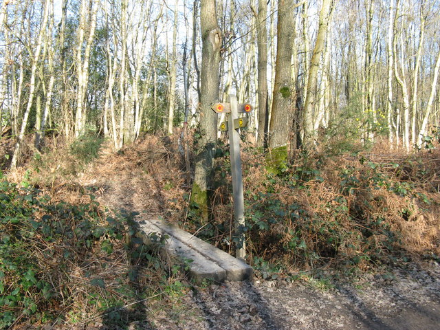
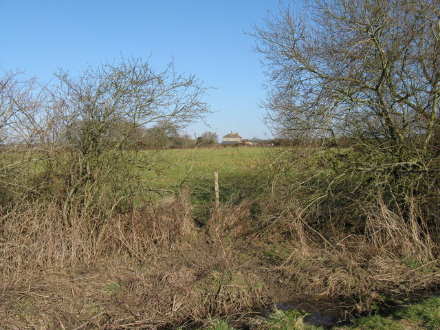
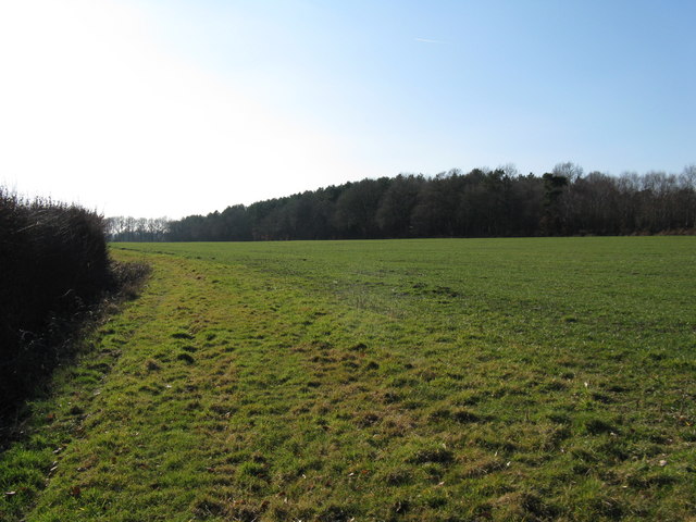
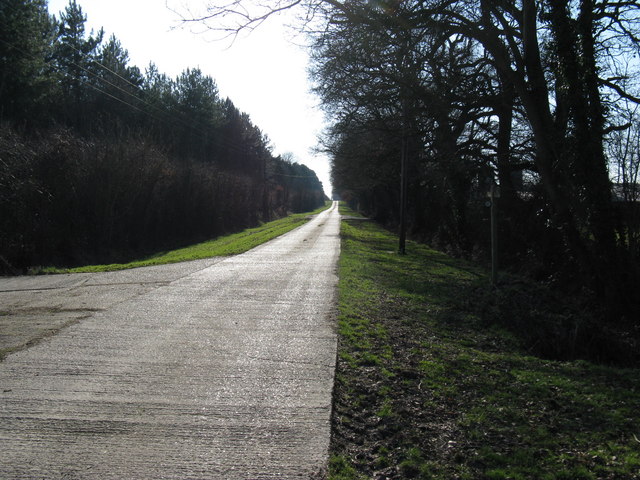
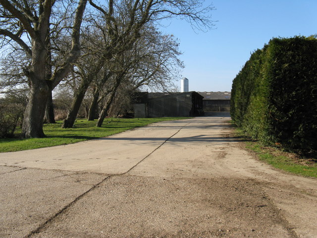
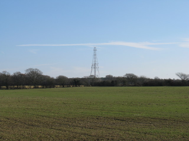
Shortgate Wood is a charming woodland area located in the county of Sussex, England. Covering an area of approximately 30 acres, this tranquil forest is situated near the village of Shortgate, just a few miles north-east of Lewes. The wood is primarily composed of a mixture of deciduous and coniferous trees, creating a diverse and picturesque landscape.
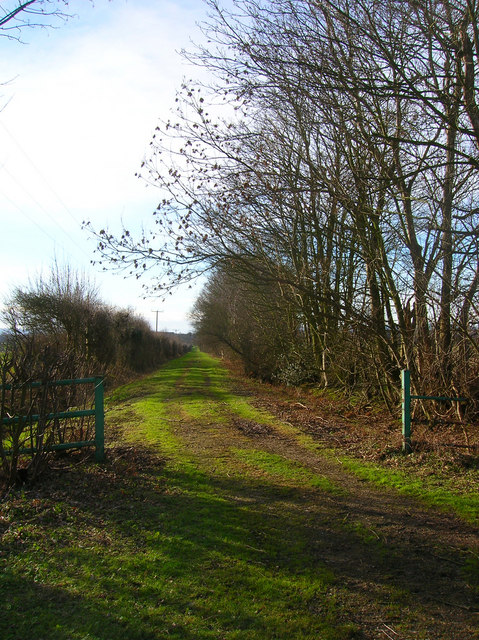
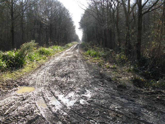
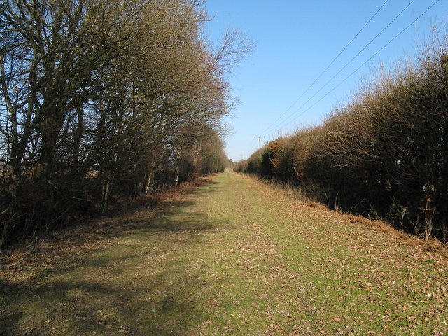
As visitors venture into Shortgate Wood, they are greeted by a well-maintained network of pathways that wind their way through the trees. These paths enable visitors to explore the wood at their own pace, providing an opportunity to immerse themselves in nature and enjoy the peaceful surroundings. Throughout the wood, there are designated picnic areas and benches where visitors can rest and take in the beauty of their surroundings.
The woodland is home to a wide variety of flora and fauna, with numerous species of birds, insects, and small mammals inhabiting the area. This makes Shortgate Wood a popular spot for birdwatchers and nature enthusiasts, who can often spot woodpeckers, nuthatches, and various species of owls.
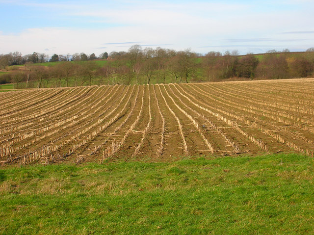
In addition to its natural beauty, Shortgate Wood also holds historical significance. It is believed that the wood has been present for centuries, with evidence of human activity dating back to the Iron Age. The area has also been utilized for timber production over the years, contributing to the local economy.
Overall, Shortgate Wood in Sussex offers a serene and enchanting environment for those seeking a peaceful retreat in nature. Whether it is for a leisurely stroll, a picnic, or wildlife observation, this woodland provides a delightful and memorable experience for visitors of all ages.
If you have any feedback on the listing, please let us know in the comments section below.
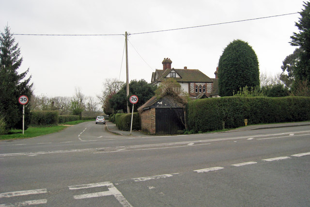
Shortgate Wood Images
Images are sourced within 2km of 50.913435/0.12132302 or Grid Reference TQ4914. Thanks to Geograph Open Source API. All images are credited.

Shortgate Wood is located at Grid Ref: TQ4914 (Lat: 50.913435, Lng: 0.12132302)
Administrative County: East Sussex
District: Wealden
Police Authority: Sussex
What 3 Words
///masterpiece.trying.charts. Near Ringmer, East Sussex
Nearby Locations
Related Wikis

Bentley Wildfowl and Motor Museum
The Bentley Wildfowl and Motor Museum was a visitor attraction near Halland, East Sussex, England. As of October 2018, it is closed to the public. ��2...

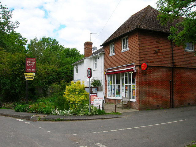
Laughton, East Sussex
Laughton is a village and civil parish in the Wealden district of East Sussex, England. The village is located five miles (8 km) east of Lewes, at a junction...

Park Corner Heath
Park Corner Heath is a 2.9-hectare (7.2-acre) biological Site of Special Scientific Interest about 1.2 miles (2 km) south of East Hoathly, adjacent to...

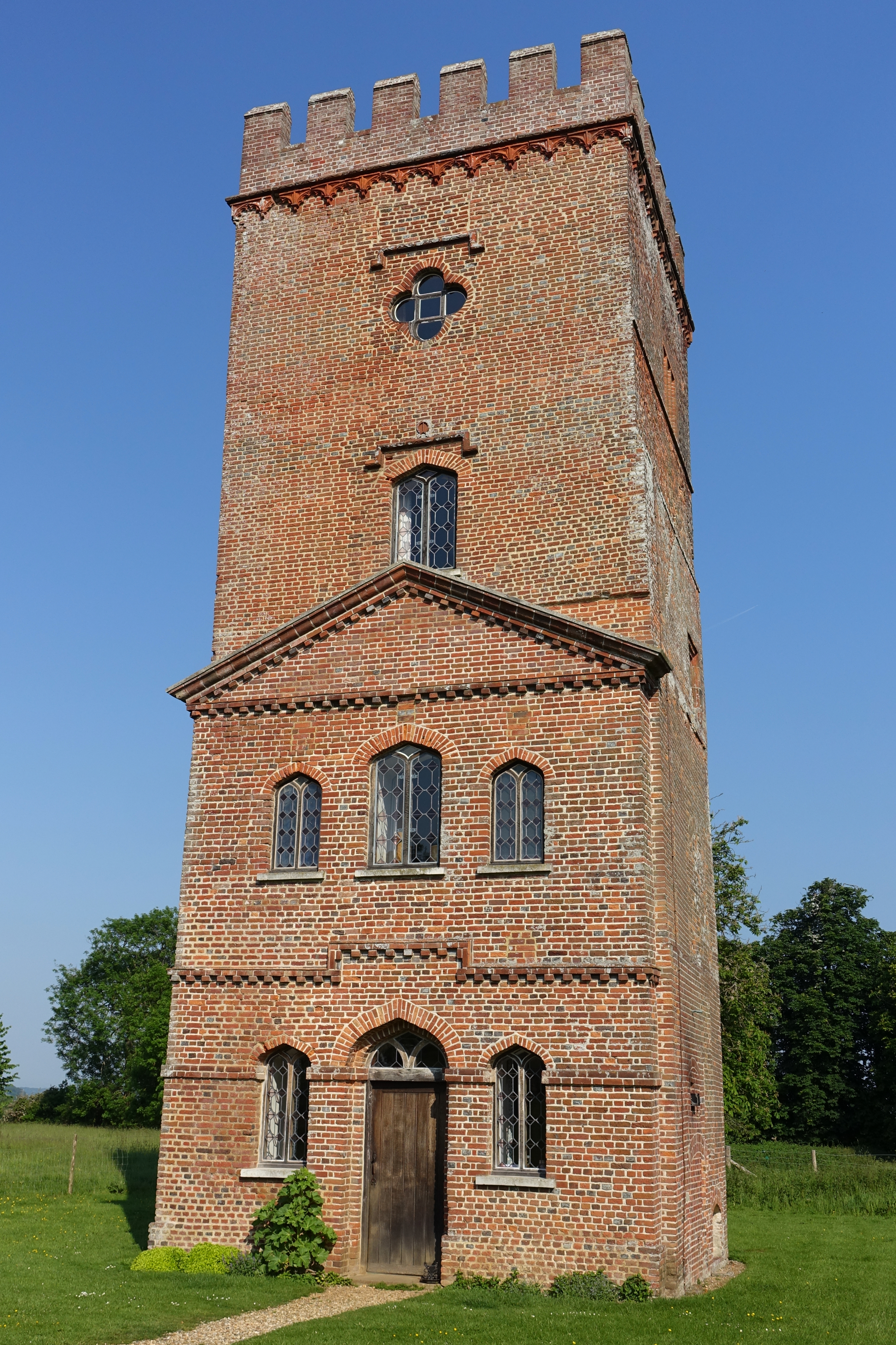
Broyle Place
Broyle Place is a historic house in Sussex, England. It is a Grade II listed Elizabethan manor house. In the 12th century, it belonged to Theobald, Archbishop...

East Hoathly with Halland
East Hoathly with Halland is a civil parish in the Wealden District of East Sussex, England. The parish contains the two villages of East Hoathly and...

Plashett Park Wood
Plashett Park Wood is a 157.6-hectare (389-acre) biological Site of Special Scientific Interest between Lewes and Uckfield in East Sussex.This ancient...

East Sussex National Golf Club
East Sussex National Golf Club is a golf course located near to Uckfield in East Sussex. It is considered one of the finer golf courses in the British...
Laughton Place
Laughton Place is a historic building near Lewes, Sussex owned by the Landmark Trust. The Pelham family bought Laughton Place, an old fortified manor,...
Nearby Amenities
Located within 500m of 50.913435,0.12132302Have you been to Shortgate Wood?
Leave your review of Shortgate Wood below (or comments, questions and feedback).