Lapworth

Settlement in Warwickshire Warwick

England

Lapworth

Lapworth Lodge Seen across the fields from the east on Bushwood Lane.
Lapworth Lodge Credit: David Stowell

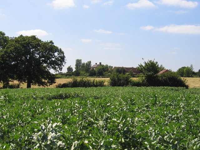
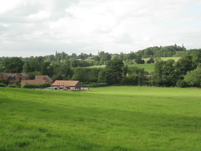
Lapworth is a picturesque village located in the county of Warwickshire, England. Situated approximately 10 miles south-east of Birmingham, it falls within the Stratford-on-Avon district. The village is nestled amidst the rolling countryside of the West Midlands, offering residents and visitors a charming rural escape.

Lapworth boasts a rich history, with its origins dating back to the Saxon era. The village is home to several historic buildings, including St. Mary's Church, a Grade II listed structure dating from the 13th century. The church's stunning architecture and well-preserved medieval features make it a popular attraction for history enthusiasts.

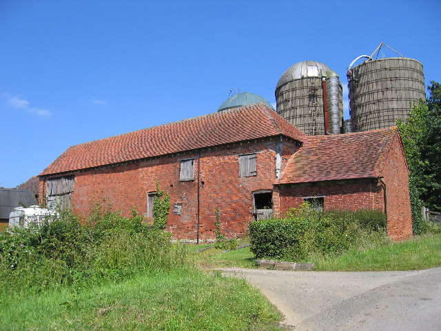
In addition to its historical significance, Lapworth also offers a range of amenities and recreational opportunities. The village has a primary school, a post office, a village hall, and a local pub, providing residents with essential services and social spaces. The surrounding countryside provides ample opportunities for outdoor activities, such as hiking and cycling, with the Grand Union Canal and the Stratford-upon-Avon Canal passing through the village.

Lapworth's proximity to major transportation links is another notable feature. The village is well connected to both Birmingham and Coventry via the M42 motorway, making it an attractive location for commuters. The nearby Lapworth railway station provides regular train services to Birmingham and London, further enhancing its accessibility.

Overall, Lapworth offers a blend of natural beauty, historical charm, and convenient amenities, making it a desirable place to live or visit in Warwickshire.

If you have any feedback on the listing, please let us know in the comments section below.
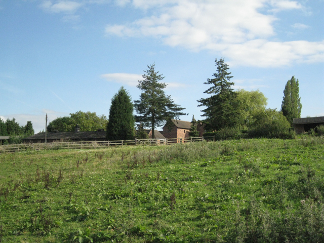
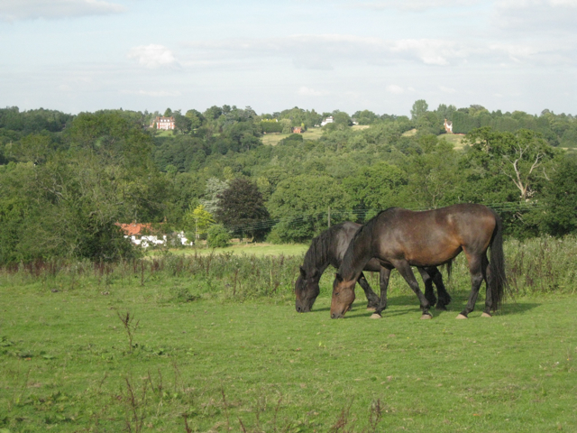
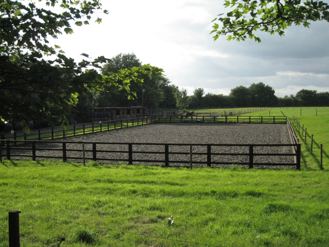
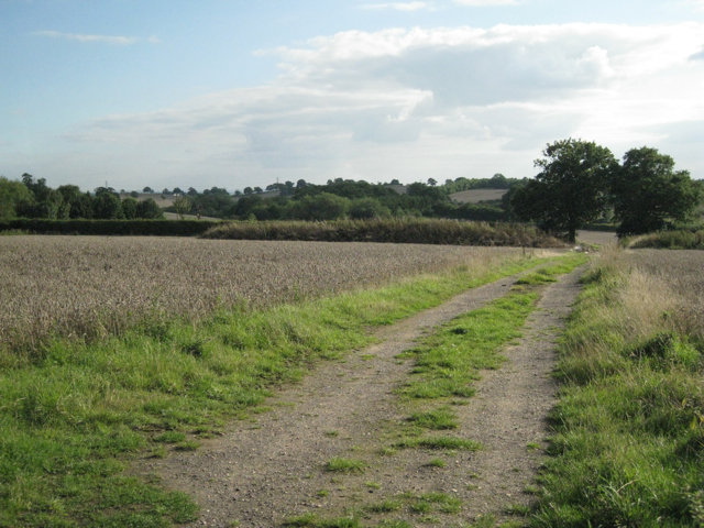
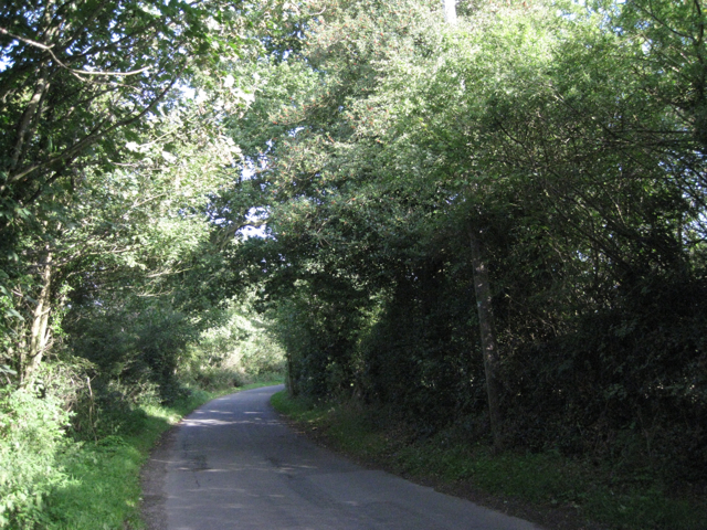
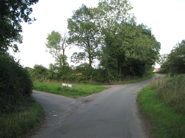
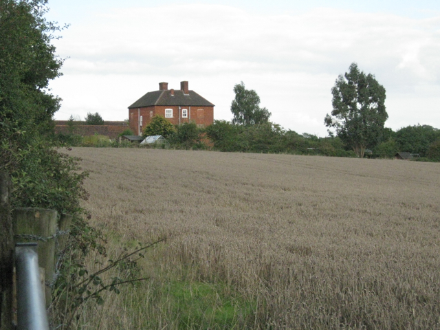
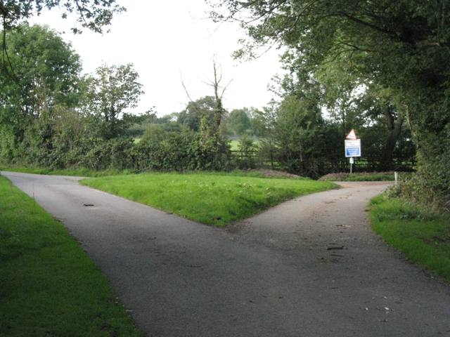
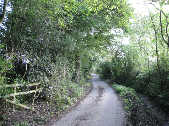
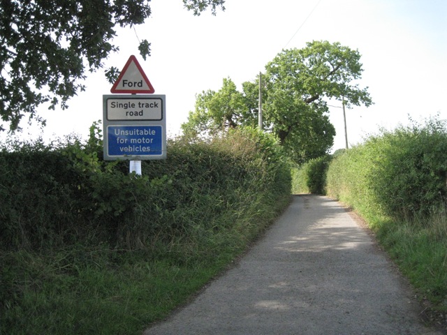
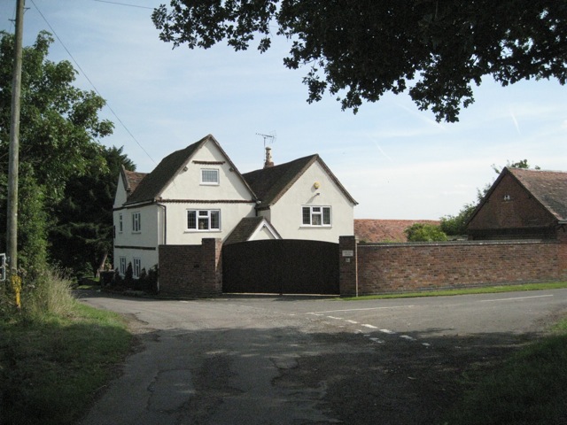
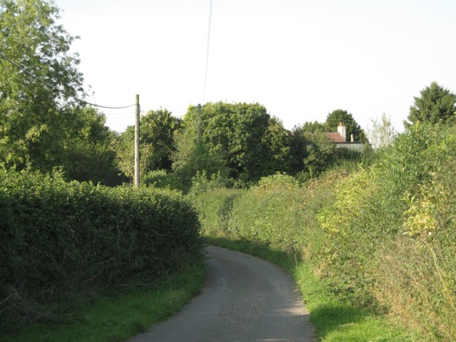
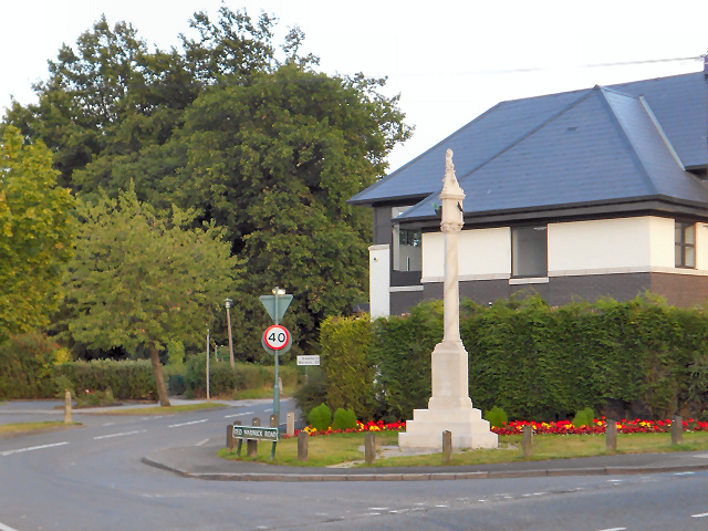
Lapworth Images

Images are sourced within 2km of 52.335719/-1.768726 or Grid Reference SP1570. Thanks to Geograph Open Source API. All images are credited.

Lapworth Lodge Seen across the fields from the east on Bushwood Lane.
Lapworth Lodge
Seen across the fields from the east on Bushwood Lane.
Pink's Farm Old barns at the farm on the western edge of the square.
Pink's Farm
Old barns at the farm on the western edge of the square.
Tapster Mill The impressive gates of Tapster Mill, once a windmill, on Bushwood Lane.
Tapster Mill
The impressive gates of Tapster Mill, once a windmill, on Bushwood Lane.
View north across the Tapster valley A well-heeled, well-fed landscape. The Tapster Brook runs across the centre of the photo, left to right, past Tapster Brook Cottage <a href="https://www.geograph.org.uk/gridref/SP1670">SP1670</a>. The spire of St Mary's Church, Lapworth, is just visible on the skyline, centre <a href="https://www.geograph.org.uk/gridref/SP1671">SP1671</a>. This peaceful-looking scene is accompanied by the muffled roar of the M40 in a cutting beyond the field of sheep on the right. The view is from a stile north of Tapster Mill.
View north across the Tapster valley
A well-heeled, well-fed landscape. The Tapster Brook runs across the centre of the photo, left to right, past Tapster Brook Cottage SP1670. The spire of St Mary's Church, Lapworth, is just visible on the skyline, centre SP1671. This peaceful-looking scene is accompanied by the muffled roar of the M40 in a cutting beyond the field of sheep on the right. The view is from a stile north of Tapster Mill.
A glimpse of Tapster Mill The name Tapster Mill doesn't appear on maps until the 1960s. Before that it was Windmill Farm, with Tapster Lane coming straight up the hill to the site. The Ordnance Survey Old Series map shows a windmill here. Today, the former farm buildings appear to be divided into residential units. The view is from a weed-ridden paddock that the public footpath passes through.
A glimpse of Tapster Mill
The name Tapster Mill doesn't appear on maps until the 1960s. Before that it was Windmill Farm, with Tapster Lane coming straight up the hill to the site. The Ordnance Survey Old Series map shows a windmill here. Today, the former farm buildings appear to be divided into residential units. The view is from a weed-ridden paddock that the public footpath passes through.
A paddock above the Tapster valley This weed-infested paddock is northwest of Tapster Mill. Across the valley (and the invisible M40) are farms and properties such as Ardenhill along Lapworth Street in <a href="https://www.geograph.org.uk/gridref/SP1770">SP1770</a>.
A paddock above the Tapster valley
This weed-infested paddock is northwest of Tapster Mill. Across the valley (and the invisible M40) are farms and properties such as Ardenhill along Lapworth Street in SP1770.
Manège and paddocks near Tapster Mill This is one corner of a lush field of some 6ha divided into a number of paddocks.
Manège and paddocks near Tapster Mill
This is one corner of a lush field of some 6ha divided into a number of paddocks.
Landscape of Lapworth Park Beyond the first boundary, in a shallow valley, is the feature called 'Pond Bays' on the OS Explorer map. Towards the right is the higher ground of Camp Hill. The view is from Bushwood Lane opposite the gates of Tapster Mill.
Landscape of Lapworth Park
Beyond the first boundary, in a shallow valley, is the feature called 'Pond Bays' on the OS Explorer map. Towards the right is the higher ground of Camp Hill. The view is from Bushwood Lane opposite the gates of Tapster Mill.
Bushwood Lane It is almost a tunnel of greenery. One of the features of this type of landscape - characterised as Ancient Arden - is a network of narrow, winding lanes, often confined by tall hedgebanks.
Bushwood Lane
It is almost a tunnel of greenery. One of the features of this type of landscape - characterised as Ancient Arden - is a network of narrow, winding lanes, often confined by tall hedgebanks.
Bushwood Lane at the Hole House Lane turn
Lapworth Lodge A four-square ?Georgian brick farmhouse with many ancillary buildings; all appear to have been converted to residential use.
Lapworth Lodge
A four-square ?Georgian brick farmhouse with many ancillary buildings; all appear to have been converted to residential use.
Hole House Lane bears right Wheatsheaf Lane bears left. The signs say: Ford. Single track road. Unsuitable for motor vehicles. One of the features of this type of landscape - characterised as Ancient Arden - is a network of narrow, winding lanes, often confined by tall hedgebanks.
Hole House Lane bears right
Wheatsheaf Lane bears left. The signs say: Ford. Single track road. Unsuitable for motor vehicles. One of the features of this type of landscape - characterised as Ancient Arden - is a network of narrow, winding lanes, often confined by tall hedgebanks.
Looking up Hole House Lane Ditches, where they exist, have been cleaned out for the whole length of the lane. It is almost a tunnel of greenery. One of the features of this type of landscape - characterised as Ancient Arden - is a network of narrow, winding lanes, often confined by tall hedgebanks.
Looking up Hole House Lane
Ditches, where they exist, have been cleaned out for the whole length of the lane. It is almost a tunnel of greenery. One of the features of this type of landscape - characterised as Ancient Arden - is a network of narrow, winding lanes, often confined by tall hedgebanks.
Exit field by hole in hedge: 1 In the hedgerow: ash, hazel, blackthorn, hawthorn.
Exit field by hole in hedge: 1
In the hedgerow: ash, hazel, blackthorn, hawthorn.
Exit field by hole in hedge: 2 The lush green paddock on the north-facing hillside above Tapster Cottage. In the next field, ripe wheat. Big spreading oaks in the hedgerows.
Exit field by hole in hedge: 2
The lush green paddock on the north-facing hillside above Tapster Cottage. In the next field, ripe wheat. Big spreading oaks in the hedgerows.
Hole House Lane near Yew Tree Farm Looking west. The farm is behind the camera. This end of winding Hole House Lane is prefaced with warning signs - Ford, Single track road, Unsuitable for motor vehicles - all the more inviting!
Hole House Lane near Yew Tree Farm
Looking west. The farm is behind the camera. This end of winding Hole House Lane is prefaced with warning signs - Ford, Single track road, Unsuitable for motor vehicles - all the more inviting!
Yew Tree Farm from the west The view is from the east end of Hole House Lane. The southern leg of Tapster Lane here turns south (right). Yew Tree Lane on the left turns some sharp bends before joining Lapworth Street.
Yew Tree Farm from the west
The view is from the east end of Hole House Lane. The southern leg of Tapster Lane here turns south (right). Yew Tree Lane on the left turns some sharp bends before joining Lapworth Street.
Tapster Lane, Copt Green The chimney belongs to Yew Tree Cottage. Copt Green is a half-hidden scatter of four houses.
Tapster Lane, Copt Green
The chimney belongs to Yew Tree Cottage. Copt Green is a half-hidden scatter of four houses.
Show me another place!

Lapworth is located at Grid Ref: SP1570 (Lat: 52.335719, Lng: -1.768726)

Administrative County: Warwickshire

District: Warwick

Police Authority: Warwickshire

What 3 Words

///strictly.feelers.regress. Near Hockley Heath, West Midlands

Nearby Locations

Lapworth Lapworth Hill

Related Wikis

Lapworth

Lapworth is a village and civil parish in Warwickshire, England, which had a population of 2,100 according to the 2001 census; this had fallen to 1,828...
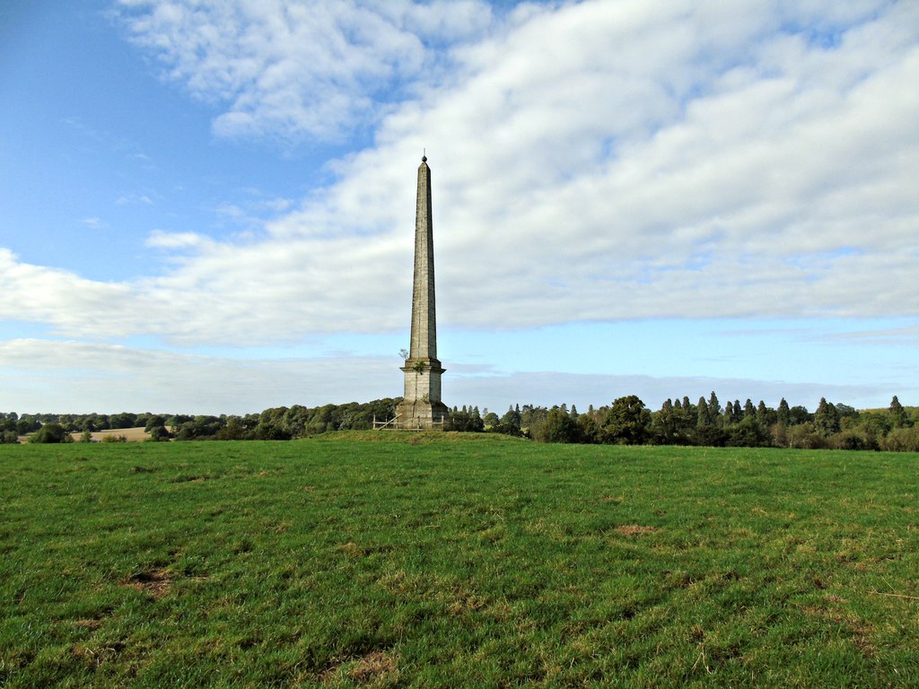
Umberslade Obelisk

The Umberslade Obelisk is a Grade II listed monument in Warwickshire, England constructed by order of Thomas Archer, 1st Baron Archer, on his estate of...

Umberslade Baptist Church

Umberslade Baptist Church is a redundant Baptist church southwest of the village of Hockley Heath, Solihull, West Midlands, England (grid reference SP147721...

Packwood House

Packwood House is a timber-framed Tudor manor house in Packwood on the Solihull border near Lapworth, Warwickshire. Owned by the National Trust since...

Packwood, England

Packwood is a medieval settlement and former civil parish of 1760 acres, now in the counties of the West Midlands and Warwickshire, England. In 1194 the...

Umberslade Hall

Umberslade Hall is a 17th-century mansion converted into residential apartments situated in Nuthurst near Tanworth-in-Arden, Warwickshire. It is a Grade...

Hockley Heath

Hockley Heath is a large village and civil parish in the Arden area mostly within the Metropolitan Borough of Solihull, West Midlands, England. It incorporates...

Kingswood Junction

Kingswood Junction (grid reference SP185709) is a canal junction where the Stratford-upon-Avon Canal meets the Grand Union Canal at Kingswood, Warwickshire...

Nearby Amenities

Located within 500m of 52.335719,-1.768726
Power: pole
Source: bing
Lat/Long: 52.3317333/-1.7720148
Power: pole
Source: bing
Lat/Long: 52.3316185/-1.770561
Power: pole
Source: bing
Transformer: distribution
Lat/Long: 52.3318349/-1.7700622
Power: pole
Source: bing
Lat/Long: 52.3317316/-1.7684394
Power: pole
Source: bing
Lat/Long: 52.3316398/-1.7670071
Material: wood
Power: pole
Ref: 721046
Source: wpd_open_data
Transformer: distribution
Lat/Long: 52.3382112/-1.7726572
Material: wood
Power: pole
Source: bing
Lat/Long: 52.3383284/-1.7717814
Material: wood
Power: pole
Ref: 721045
Source: wpd_open_data
Transformer: distribution
Lat/Long: 52.3372869/-1.7702016
Material: wood
Power: pole
Source: bing
Lat/Long: 52.3384185/-1.7710921
Material: wood
Power: pole
Source: bing
Lat/Long: 52.3394034/-1.7718565
The data included in this document is from www.openstreetmap.org. The data is made available under ODbL.

Have you been to Lapworth?

Leave your review of Lapworth below (or comments, questions and feedback).