Lapworth Hill

Hill, Mountain in Warwickshire Stratford-on-Avon

England

Lapworth Hill

Mows Hill Road A quiet length of the lane by Waterloo Cottage.
Mows Hill Road Credit: David Stowell

Lapworth Hill is a prominent geographical feature located in the county of Warwickshire, England. Although often referred to as a hill, it is more accurately described as a small mountain due to its significant elevation and steep slopes. Situated in the southern part of the county, the hill stands at an impressive height of approximately 184 meters (604 feet) above sea level.

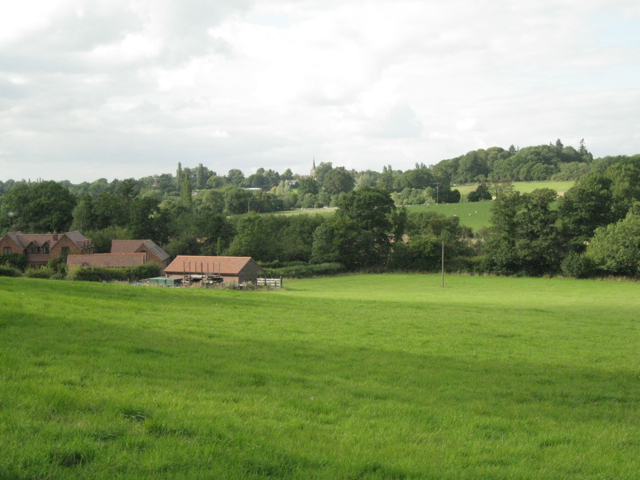
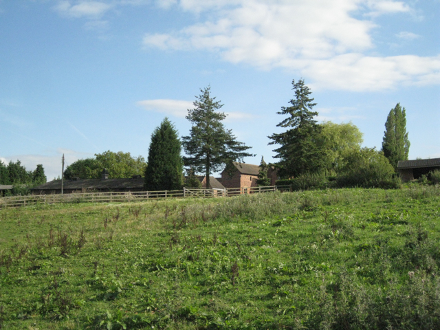
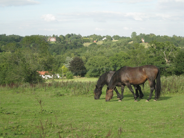
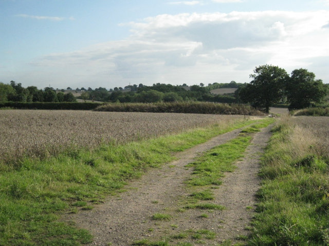
Covered in lush green vegetation, Lapworth Hill offers breathtaking panoramic views of the surrounding countryside. Its slopes are dotted with a variety of trees and shrubs, creating a picturesque landscape that attracts nature enthusiasts and hikers alike. The hill is particularly popular during the spring and summer months when wildflowers bloom, adding vibrant colors to the already stunning scenery.

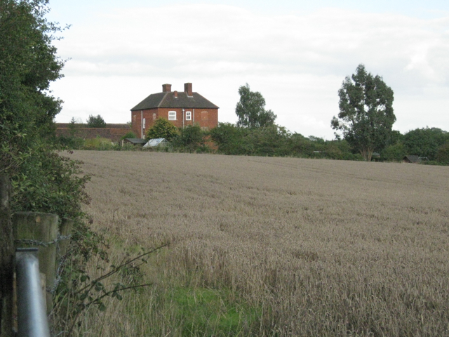
Lapworth Hill is also rich in history, with evidence of human habitation dating back thousands of years. Archaeological findings suggest that the area was inhabited by early settlers during the Neolithic period, and remnants of ancient settlements and burial sites have been discovered on its slopes.

Today, Lapworth Hill is a designated Area of Outstanding Natural Beauty (AONB), recognized for its unique geological and ecological features. It is home to a diverse range of wildlife, including various bird species, mammals, and insects. The hill is also a protected habitat for several rare plant species, contributing to its ecological significance.

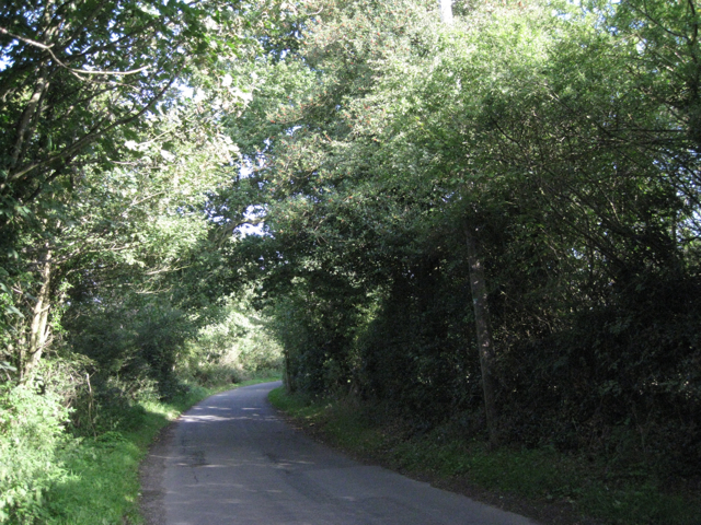
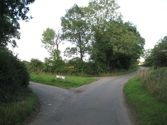
Accessible via footpaths and trails, Lapworth Hill provides an opportunity for outdoor activities such as hiking, walking, and birdwatching. With its stunning views, rich history, and ecological importance, Lapworth Hill is a cherished natural landmark in Warwickshire.

If you have any feedback on the listing, please let us know in the comments section below.

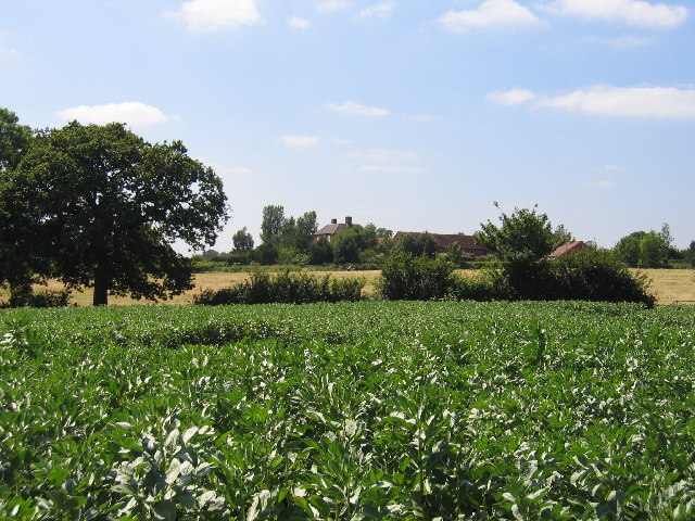
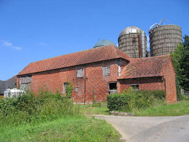
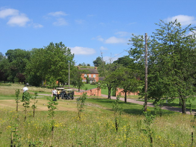
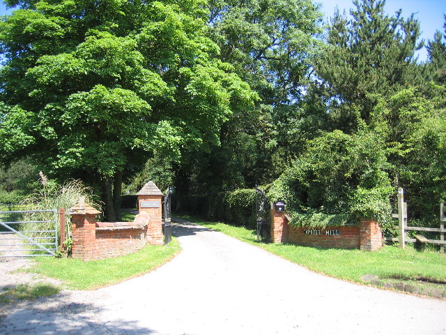
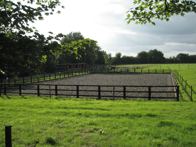
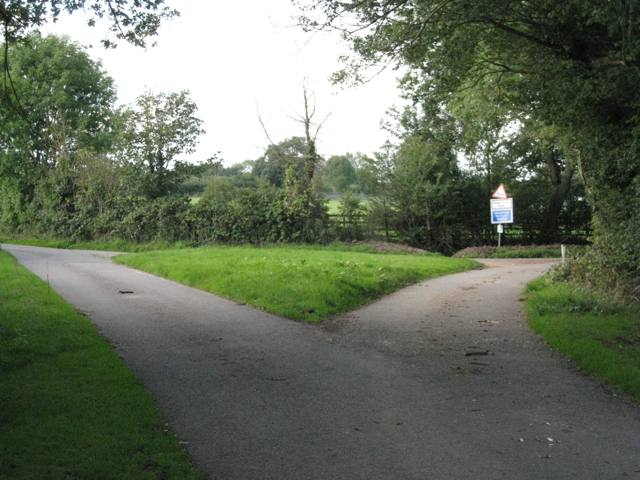
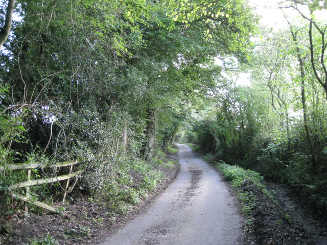
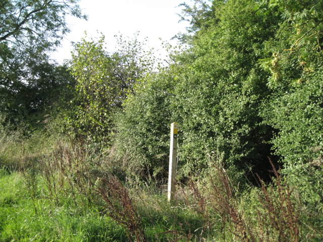
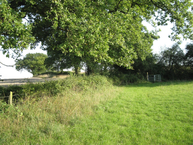
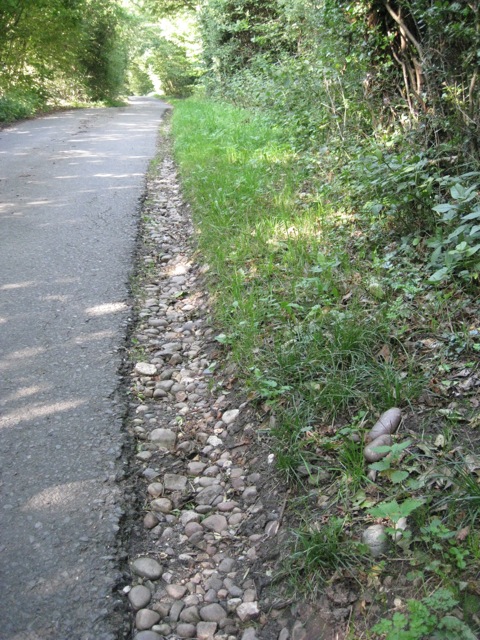
Lapworth Hill Images

Images are sourced within 2km of 52.329883/-1.7699518 or Grid Reference SP1570. Thanks to Geograph Open Source API. All images are credited.

Mows Hill Road A quiet length of the lane by Waterloo Cottage.
Mows Hill Road
A quiet length of the lane by Waterloo Cottage.
Lapworth Lodge Seen across the fields from the east on Bushwood Lane.
Lapworth Lodge
Seen across the fields from the east on Bushwood Lane.
Pink's Farm Old barns at the farm on the western edge of the square.
Pink's Farm
Old barns at the farm on the western edge of the square.
Haven Pastures Golf & Country Club This club is beside the main Birmingham - Henley in Arden road at Liveridge Hill.
Haven Pastures Golf & Country Club
This club is beside the main Birmingham - Henley in Arden road at Liveridge Hill.
Tapster Mill The impressive gates of Tapster Mill, once a windmill, on Bushwood Lane.
Tapster Mill
The impressive gates of Tapster Mill, once a windmill, on Bushwood Lane.
View north across the Tapster valley A well-heeled, well-fed landscape. The Tapster Brook runs across the centre of the photo, left to right, past Tapster Brook Cottage <a href="https://www.geograph.org.uk/gridref/SP1670">SP1670</a>. The spire of St Mary's Church, Lapworth, is just visible on the skyline, centre <a href="https://www.geograph.org.uk/gridref/SP1671">SP1671</a>. This peaceful-looking scene is accompanied by the muffled roar of the M40 in a cutting beyond the field of sheep on the right. The view is from a stile north of Tapster Mill.
View north across the Tapster valley
A well-heeled, well-fed landscape. The Tapster Brook runs across the centre of the photo, left to right, past Tapster Brook Cottage SP1670. The spire of St Mary's Church, Lapworth, is just visible on the skyline, centre SP1671. This peaceful-looking scene is accompanied by the muffled roar of the M40 in a cutting beyond the field of sheep on the right. The view is from a stile north of Tapster Mill.
A glimpse of Tapster Mill The name Tapster Mill doesn't appear on maps until the 1960s. Before that it was Windmill Farm, with Tapster Lane coming straight up the hill to the site. The Ordnance Survey Old Series map shows a windmill here. Today, the former farm buildings appear to be divided into residential units. The view is from a weed-ridden paddock that the public footpath passes through.
A glimpse of Tapster Mill
The name Tapster Mill doesn't appear on maps until the 1960s. Before that it was Windmill Farm, with Tapster Lane coming straight up the hill to the site. The Ordnance Survey Old Series map shows a windmill here. Today, the former farm buildings appear to be divided into residential units. The view is from a weed-ridden paddock that the public footpath passes through.
A paddock above the Tapster valley This weed-infested paddock is northwest of Tapster Mill. Across the valley (and the invisible M40) are farms and properties such as Ardenhill along Lapworth Street in <a href="https://www.geograph.org.uk/gridref/SP1770">SP1770</a>.
A paddock above the Tapster valley
This weed-infested paddock is northwest of Tapster Mill. Across the valley (and the invisible M40) are farms and properties such as Ardenhill along Lapworth Street in SP1770.
Manège and paddocks near Tapster Mill This is one corner of a lush field of some 6ha divided into a number of paddocks.
Manège and paddocks near Tapster Mill
This is one corner of a lush field of some 6ha divided into a number of paddocks.
Landscape of Lapworth Park Beyond the first boundary, in a shallow valley, is the feature called 'Pond Bays' on the OS Explorer map. Towards the right is the higher ground of Camp Hill. The view is from Bushwood Lane opposite the gates of Tapster Mill.
Landscape of Lapworth Park
Beyond the first boundary, in a shallow valley, is the feature called 'Pond Bays' on the OS Explorer map. Towards the right is the higher ground of Camp Hill. The view is from Bushwood Lane opposite the gates of Tapster Mill.
Bushwood Lane It is almost a tunnel of greenery. One of the features of this type of landscape - characterised as Ancient Arden - is a network of narrow, winding lanes, often confined by tall hedgebanks.
Bushwood Lane
It is almost a tunnel of greenery. One of the features of this type of landscape - characterised as Ancient Arden - is a network of narrow, winding lanes, often confined by tall hedgebanks.
Bushwood Lane at the Hole House Lane turn
Lapworth Lodge A four-square ?Georgian brick farmhouse with many ancillary buildings; all appear to have been converted to residential use.
Lapworth Lodge
A four-square ?Georgian brick farmhouse with many ancillary buildings; all appear to have been converted to residential use.
Hole House Lane bears right Wheatsheaf Lane bears left. The signs say: Ford. Single track road. Unsuitable for motor vehicles. One of the features of this type of landscape - characterised as Ancient Arden - is a network of narrow, winding lanes, often confined by tall hedgebanks.
Hole House Lane bears right
Wheatsheaf Lane bears left. The signs say: Ford. Single track road. Unsuitable for motor vehicles. One of the features of this type of landscape - characterised as Ancient Arden - is a network of narrow, winding lanes, often confined by tall hedgebanks.
Looking up Hole House Lane Ditches, where they exist, have been cleaned out for the whole length of the lane. It is almost a tunnel of greenery. One of the features of this type of landscape - characterised as Ancient Arden - is a network of narrow, winding lanes, often confined by tall hedgebanks.
Looking up Hole House Lane
Ditches, where they exist, have been cleaned out for the whole length of the lane. It is almost a tunnel of greenery. One of the features of this type of landscape - characterised as Ancient Arden - is a network of narrow, winding lanes, often confined by tall hedgebanks.
Exit field by hole in hedge: 1 In the hedgerow: ash, hazel, blackthorn, hawthorn.
Exit field by hole in hedge: 1
In the hedgerow: ash, hazel, blackthorn, hawthorn.
Exit field by hole in hedge: 2 The lush green paddock on the north-facing hillside above Tapster Cottage. In the next field, ripe wheat. Big spreading oaks in the hedgerows.
Exit field by hole in hedge: 2
The lush green paddock on the north-facing hillside above Tapster Cottage. In the next field, ripe wheat. Big spreading oaks in the hedgerows.
Pebbles at the side of Ireland's Lane
Show me another place!

Lapworth Hill is located at Grid Ref: SP1570 (Lat: 52.329883, Lng: -1.7699518)

Administrative County: Warwickshire

District: Stratford-on-Avon

Police Authority: Warwickshire

What 3 Words

///sway.nipped.tour. Near Hockley Heath, West Midlands

Nearby Locations

Lapworth Lapworth Hill

Related Wikis

Lapworth

Lapworth is a village and civil parish in Warwickshire, England, which had a population of 2,100 according to the 2001 census; this had fallen to 1,828...
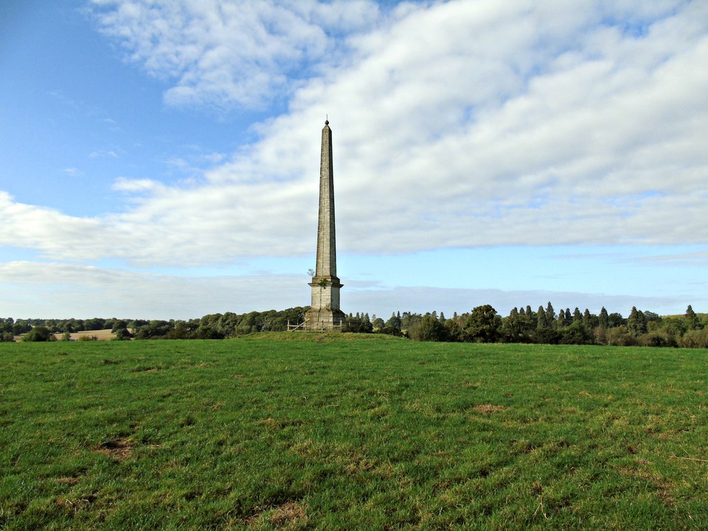
Umberslade Obelisk

The Umberslade Obelisk is a Grade II listed monument in Warwickshire, England constructed by order of Thomas Archer, 1st Baron Archer, on his estate of...

Umberslade Baptist Church

Umberslade Baptist Church is a redundant Baptist church southwest of the village of Hockley Heath, Solihull, West Midlands, England (grid reference SP147721...

Umberslade Hall

Umberslade Hall is a 17th-century mansion converted into residential apartments situated in Nuthurst near Tanworth-in-Arden, Warwickshire. It is a Grade...

Nearby Amenities

Located within 500m of 52.329883,-1.7699518
Barrier: kissing_gate
Source: survey
Lat/Long: 52.3293132/-1.7630278
Man Made: tower
Tower Type: communication
Lat/Long: 52.3294894/-1.7770838
Barrier: kissing_gate
Source: survey
Lat/Long: 52.329228/-1.7629804
Barrier: stile
Source: survey
Lat/Long: 52.328255/-1.7681068
Barrier: kissing_gate
Source: survey
Lat/Long: 52.3288591/-1.7670605
Barrier: kissing_gate
Source: survey
Lat/Long: 52.328955/-1.7669736
Barrier: kissing_gate
Source: survey
Lat/Long: 52.3296811/-1.765253
Barrier: kissing_gate
Source: survey
Lat/Long: 52.3306515/-1.7636973
Man Made: tower
Tower Type: communication
Lat/Long: 52.329927/-1.7750645
Barrier: kissing_gate
Source: survey
Lat/Long: 52.3288021/-1.7726351
Barrier: kissing_gate
Source: survey
Lat/Long: 52.3279846/-1.7682852
Power: pole
Source: bing
Lat/Long: 52.3319578/-1.7751101
Power: pole
Source: bing
Lat/Long: 52.3318316/-1.7733908
Power: pole
Source: bing
Lat/Long: 52.3317333/-1.7720148
Power: pole
Source: bing
Lat/Long: 52.3316185/-1.770561
Power: pole
Source: bing
Transformer: distribution
Lat/Long: 52.3318349/-1.7700622
Power: pole
Source: bing
Lat/Long: 52.3317316/-1.7684394
Power: pole
Source: bing
Lat/Long: 52.3316398/-1.7670071
Power: pole
Source: bing
Lat/Long: 52.3315595/-1.7655855
Power: pole
Source: bing
Lat/Long: 52.3314055/-1.7632601
The data included in this document is from www.openstreetmap.org. The data is made available under ODbL.

Have you been to Lapworth Hill?

Leave your review of Lapworth Hill below (or comments, questions and feedback).