Mary's Cleuch

Valley in Dumfriesshire

Scotland

Mary's Cleuch

Minor road near Sibbaldbie
Minor road near Sibbaldbie Credit: Steven Brown

Mary's Cleuch is a picturesque valley located in Dumfriesshire, Scotland. Situated in the southern part of the country, it is well-known for its stunning natural beauty and historical significance. The valley is named after Mary, Queen of Scots, who is said to have visited the area during her reign.

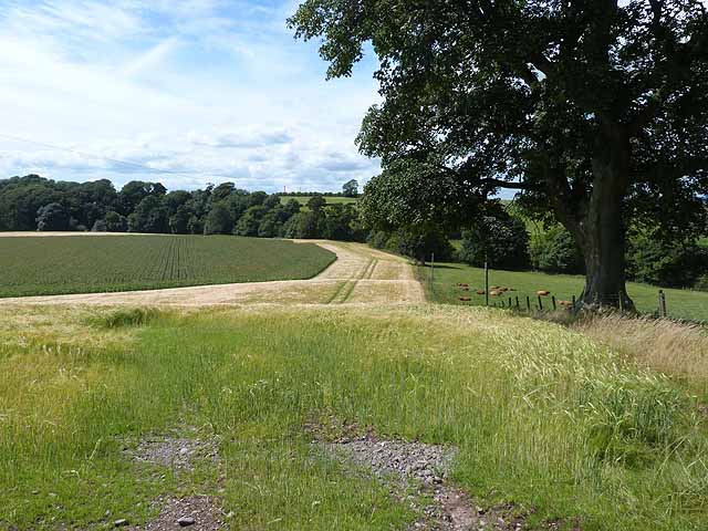
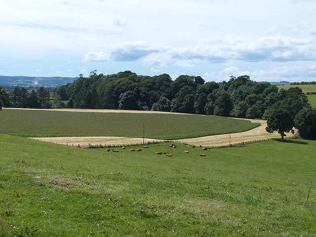
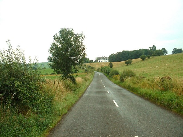
Surrounded by rolling hills and lush greenery, Mary's Cleuch offers a tranquil and idyllic setting for visitors to explore. The valley is home to a diverse range of flora and fauna, including various species of birds, wildflowers, and trees. It is a haven for nature lovers and provides ample opportunities for hiking, birdwatching, and photography.

In addition to its natural splendor, Mary's Cleuch also boasts a rich historical heritage. The valley is dotted with ancient ruins and archaeological sites, providing a glimpse into Scotland's past. Visitors can discover remnants of old castles, forts, and settlements that once played a significant role in the region's history.

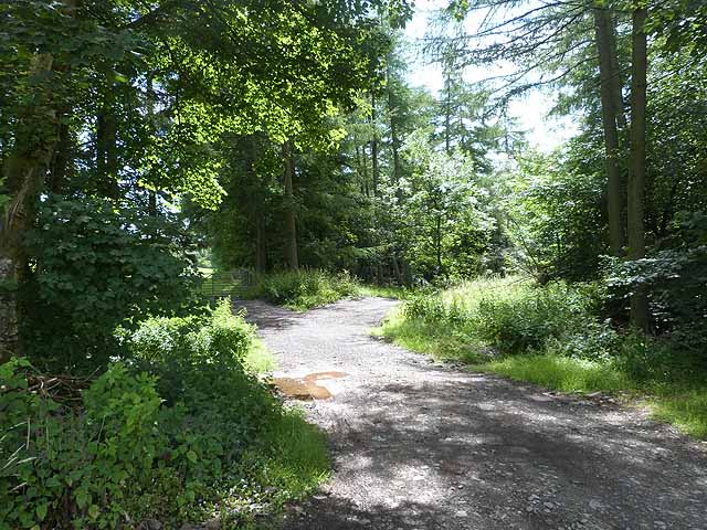
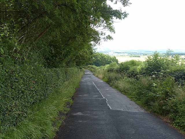
The area is also renowned for its walking trails, which allow visitors to explore the valley at their own pace. One of the most popular routes is the Mary's Cleuch Trail, which takes hikers through the heart of the valley, offering breathtaking views of the surrounding landscape.

Whether it's immersing oneself in nature, delving into the past, or simply enjoying the serenity of the countryside, Mary's Cleuch offers a truly remarkable experience for all who visit.

If you have any feedback on the listing, please let us know in the comments section below.

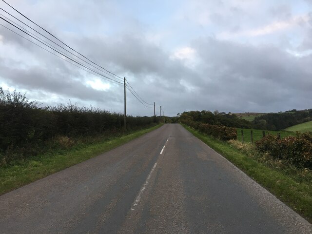
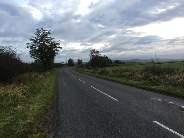
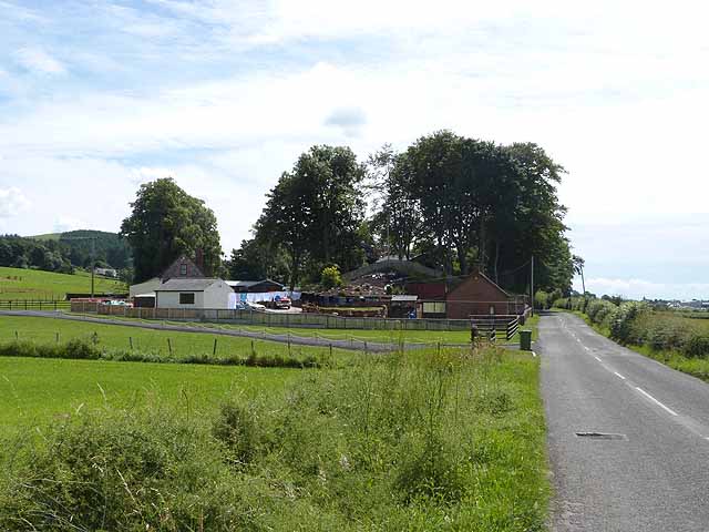
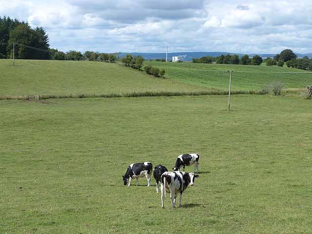
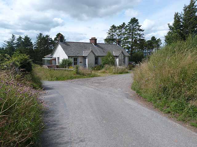
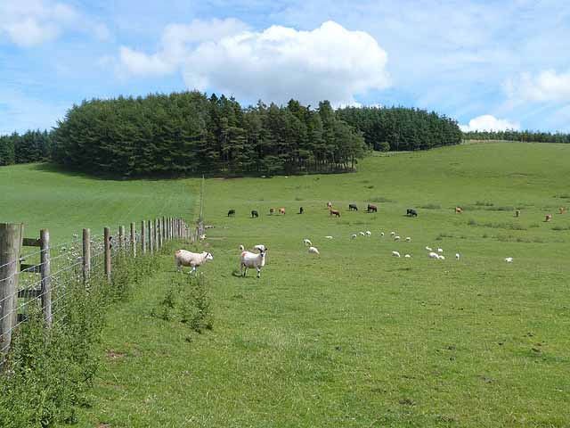
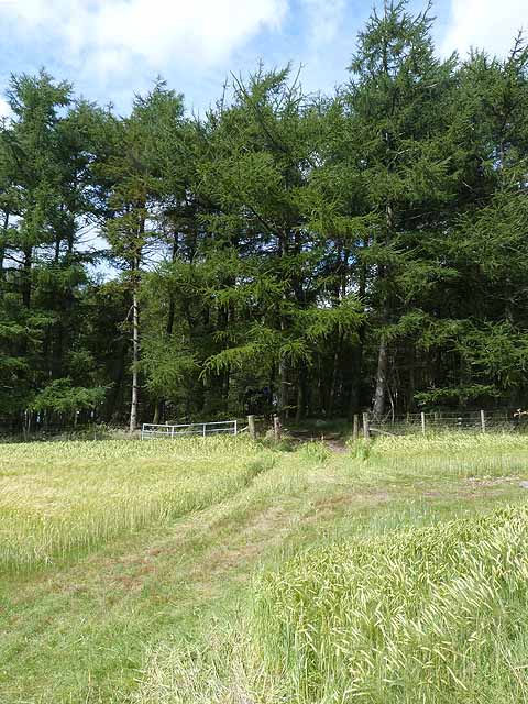
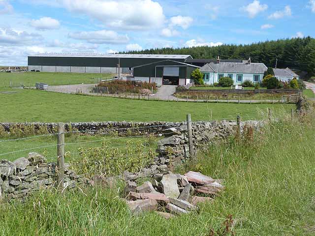
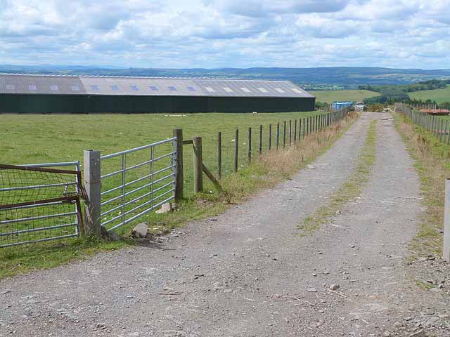
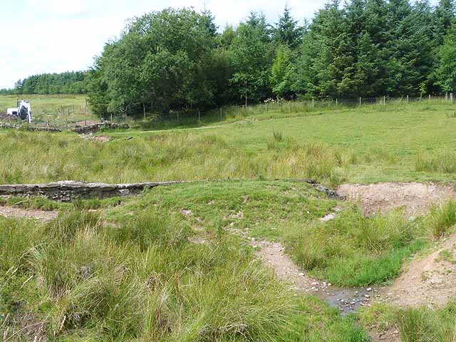
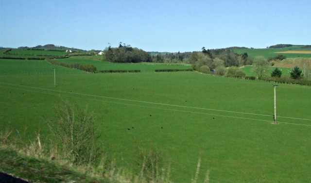
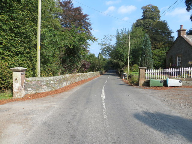
Mary's Cleuch Images

Images are sourced within 2km of 55.158517/-3.3450968 or Grid Reference NY1485. Thanks to Geograph Open Source API. All images are credited.

Minor road near Sibbaldbie
Breckenry Road
Breckenry Road
St Michaels Small cluster of houses by the B723 Eskdale to Lockerbie road.
St Michaels
Small cluster of houses by the B723 Eskdale to Lockerbie road.
Fields and cattle near St Michael's In the distance is Steven's Croft Biomass Power Station, see <a href="https://www.geograph.org.uk/photo/1538074">NY1285 : A74(M) And Steven's Croft Biomass Power Station</a> at <a href="https://www.geograph.org.uk/gridref/NY1285">NY1285</a>.
Fields and cattle near St Michael's
In the distance is Steven's Croft Biomass Power Station, see NY1285 : A74(M) And Steven's Croft Biomass Power Station at NY1285.
Field at Hillside An unusual sub-division of a field - maize in the centre, encircled by barley. The belt of trees extends along the banks of the Dryfe Water.
Field at Hillside
An unusual sub-division of a field - maize in the centre, encircled by barley. The belt of trees extends along the banks of the Dryfe Water.
Woodland above Mary's Cleuch
Road from Balgrayhill to Cleuchfoot The road drops steeply down to the valley of the Dryfe Water.
Road from Balgrayhill to Cleuchfoot
The road drops steeply down to the valley of the Dryfe Water.
Unoccupied cottage below Balgrayhill Although still apparently in good condition, this cottage is unoccupied.
Unoccupied cottage below Balgrayhill
Although still apparently in good condition, this cottage is unoccupied.
Field below Dodge Wood Sheep and cattle grazing this sunny field overlooking the valley of the Dryfe Water.
Field below Dodge Wood
Sheep and cattle grazing this sunny field overlooking the valley of the Dryfe Water.
Track leading into Crow Wood
Balgrayhill Farm In a commanding position overlooking the valley of the Dryfe Water.
Balgrayhill Farm
In a commanding position overlooking the valley of the Dryfe Water.
Large barn at Balgrayhill Farm With a stunning view over the valley of the Dryfe Water.
Large barn at Balgrayhill Farm
With a stunning view over the valley of the Dryfe Water.
Old dam at Ley Hill A small pond was at one time retained by this dam. Now broken, leaving a marshy area behind. Some ditching work appears to be in progress in the distance.
Old dam at Ley Hill
A small pond was at one time retained by this dam. Now broken, leaving a marshy area behind. Some ditching work appears to be in progress in the distance.
Farmland near Lockerbie To the north of the town, viewed from a Glasgow bound train.
Farmland near Lockerbie
To the north of the town, viewed from a Glasgow bound train.
Road (B723) at Balgray House Lodge Looking northward.
Road (B723) at Balgray House Lodge
Looking northward.
Ordnance Survey Flush Bracket 12081 This can be found on the wall of Balgray House Lodge - a private dwelling.
For more detail see : <span class="nowrap"><a title="http://www.bench-marks.org.uk/bm22749" rel="nofollow ugc noopener" href="http://www.bench-marks.org.uk/bm22749">Link</a><img style="margin-left:2px;" alt="External link" title="External link - shift click to open in new window" src="https://s1.geograph.org.uk/img/external.png" width="10" height="10"/></span>
Ordnance Survey Flush Bracket 12081
This can be found on the wall of Balgray House Lodge - a private dwelling. For more detail see : LinkExternal link
Hillside That's the name of the house. Looking north along the B723.
Hillside
That's the name of the house. Looking north along the B723.
Show me another place!

Mary's Cleuch is located at Grid Ref: NY1485 (Lat: 55.158517, Lng: -3.3450968)

Unitary Authority: Dumfries and Galloway

Police Authority: Dumfries and Galloway

What 3 Words

///unloads.rocky.masts. Near Lockerbie, Dumfries & Galloway

Nearby Locations

Dodge Wood Mary's Cleuch

Related Wikis

Sibbaldbie

Sibbaldbie is a small village in Annandale, Dumfries and Galloway, Scotland. == References ==

Nethercleugh railway station

Nethercleugh railway station was a station which served the rural area around Nethercleugh and the estate of Jardine Hall, 3 miles north of Lockerbie in...

Steven's Croft power station

Steven's Croft is a wood-fired power station near Lockerbie in Scotland. It started energy production in 2008. It is operated by E.ON and produces 44 MW...

Lockerbie Academy

Lockerbie Academy is a mainstream non-denominational secondary school in Lockerbie, Scotland. The head teacher is Brian Asher. The school roll is around...

Nearby Amenities

Located within 500m of 55.158517,-3.3450968
Post Box
Ref: DG11 77
Source: survey
Lat/Long: 55.1613969/-3.350713
Power: pole
Lat/Long: 55.1593957/-3.3528159
Power: pole
Lat/Long: 55.1600344/-3.3523651
Power: pole
Lat/Long: 55.1605966/-3.351533
Power: pole
Lat/Long: 55.1610469/-3.3508865
Power: pole
Lat/Long: 55.1614766/-3.3509071
The data included in this document is from www.openstreetmap.org. The data is made available under ODbL.

Have you been to Mary's Cleuch?

Leave your review of Mary's Cleuch below (or comments, questions and feedback).