Cwmnantygelli
Valley in Radnorshire
Wales
Cwmnantygelli

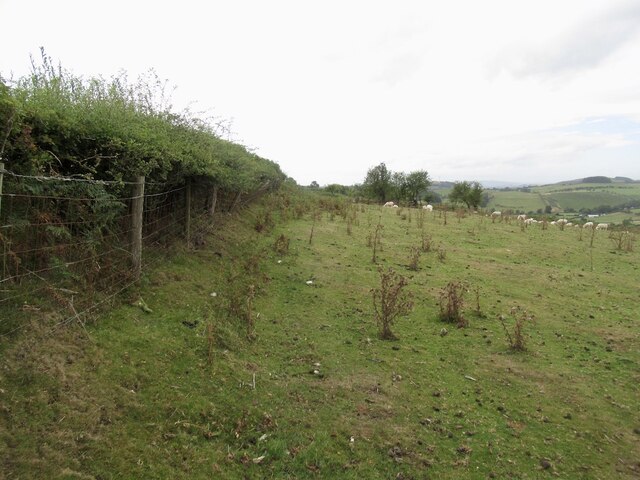
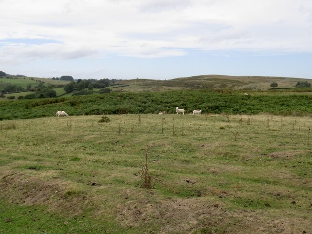
Cwmnantygelli is a picturesque valley located in the county of Radnorshire, Wales. Nestled amidst the rolling hills and breathtaking landscapes of the Welsh countryside, it is a haven of natural beauty and tranquility. The name "Cwmnantygelli" translates to "Valley of the Nantygelli," referring to the nearby river that flows through the area.
The valley is renowned for its stunning scenery, characterized by lush green meadows, dense woodlands, and stunning waterfalls cascading down the hillsides. It is a paradise for nature enthusiasts and hikers, offering a plethora of walking trails that showcase the area's diverse flora and fauna. Wildflowers, such as bluebells and primroses, adorn the valley during the spring months, creating a colorful spectacle.
Cwmnantygelli is also home to a variety of wildlife. Visitors may spot red kites soaring overhead, while badgers, foxes, and rabbits can be seen scurrying through the undergrowth. The river that winds its way through the valley is teeming with fish, attracting anglers from near and far.
History and heritage also play a significant role in Cwmnantygelli's appeal. The valley is dotted with ancient ruins, including the remains of old farmsteads and a medieval church, offering glimpses into the area's rich past.
For those seeking a peaceful retreat away from the hustle and bustle of modern life, Cwmnantygelli is a hidden gem waiting to be discovered. Its idyllic setting and untouched beauty make it a must-visit destination for nature lovers and history enthusiasts alike.
If you have any feedback on the listing, please let us know in the comments section below.
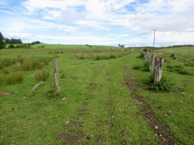
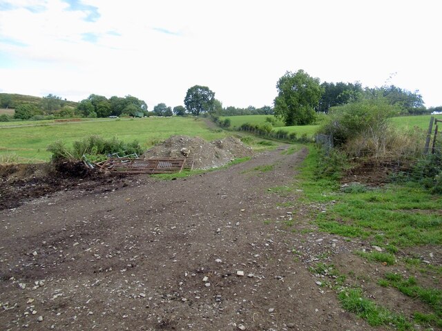
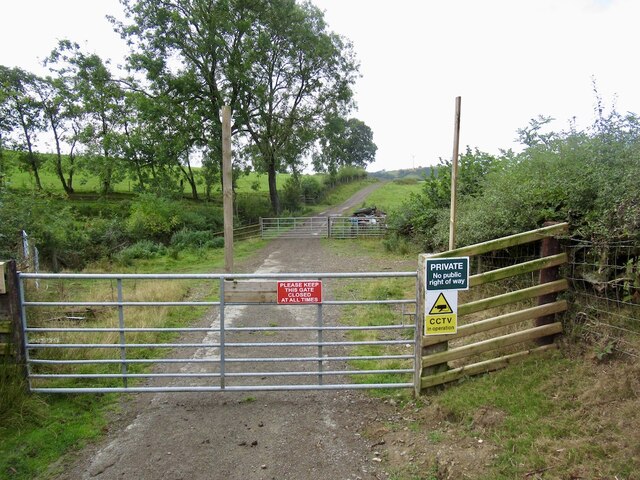
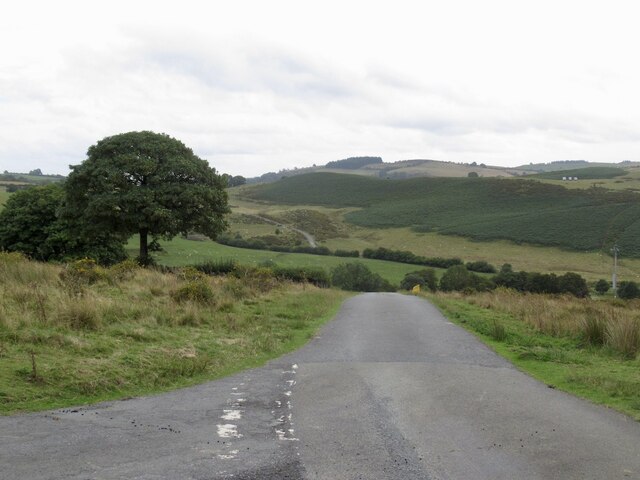
Cwmnantygelli Images
Images are sourced within 2km of 52.328714/-3.25763 or Grid Reference SO1470. Thanks to Geograph Open Source API. All images are credited.


Cwmnantygelli is located at Grid Ref: SO1470 (Lat: 52.328714, Lng: -3.25763)
Unitary Authority: Powys
Police Authority: Dyfed Powys
What 3 Words
///surgical.husky.lighter. Near Penybont, Powys
Nearby Locations
Related Wikis

Heartsease, Llanddewi Ystradenni
Heartsease is a small settlement or hamlet in the parish and community of Llanddewi Ystradenni in Powys, Wales. It should not be confused with Heartsease...

Llanbister Road railway station
Llanbister Road railway station is a countryside stop about 5 miles (8 km) from the village of Llanbister, Powys, Wales. The station is 41+3⁄4 miles (67...

Dolau railway station
Dolau railway station is an unstaffed railway station with one platform serving the small village of Dolau in Powys, mid Wales. It is located on the Heart...
Llanbister
Llanbister is a small village and community with a 2011 population of 382 in Powys, mid Wales, in the historic county of Radnorshire. == Facilities... ==
Nearby Amenities
Located within 500m of 52.328714,-3.25763Have you been to Cwmnantygelli?
Leave your review of Cwmnantygelli below (or comments, questions and feedback).