Ceunant Hangman

Valley in Montgomeryshire

Wales

Ceunant Hangman

Forest track in Big Wood, Cwm Nant-y-Meichiaid We thought this was the public right of way from the bend at Cwm Nant - it isn't - we took the wrong path - this one ended in the field which is the light at the end of the tunnel in this picture.
Forest track in Big Wood, Cwm Nant-y-Meichiaid Credit: Martin Evans

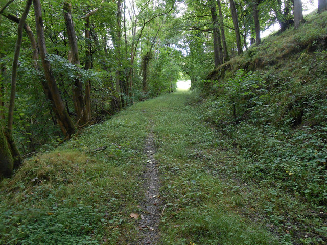
Ceunant Hangman is a picturesque valley located in Montgomeryshire, Wales. Nestled amidst the scenic beauty of the Welsh countryside, this valley is renowned for its breathtaking landscapes and tranquil ambiance.

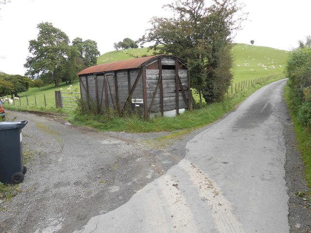
Situated near the village of Llangadfan, Ceunant Hangman is a hidden gem that offers visitors a chance to escape the hustle and bustle of city life and immerse themselves in nature. The valley is named after the Ceunant Hangman, a small stream that meanders through it, adding to its charm.

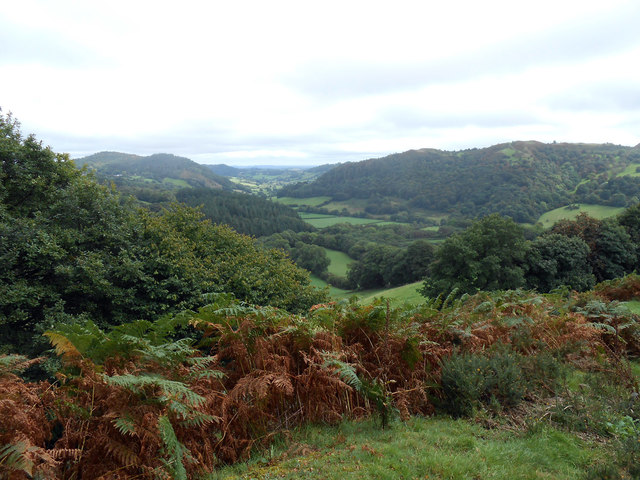
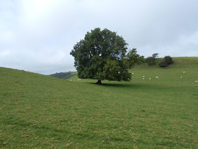
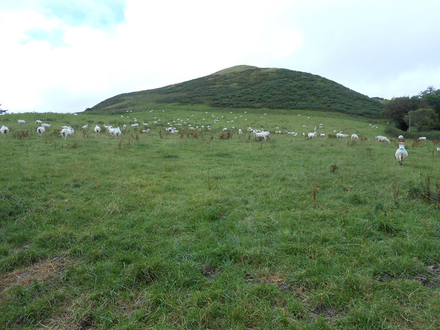
The valley boasts lush green meadows, rolling hills, and dense woodlands, making it an ideal destination for hikers, nature enthusiasts, and photographers. Its diverse flora and fauna contribute to its ecological significance. Visitors can spot a variety of plant species, including wildflowers and ancient trees, creating a vibrant and colorful landscape throughout the year.

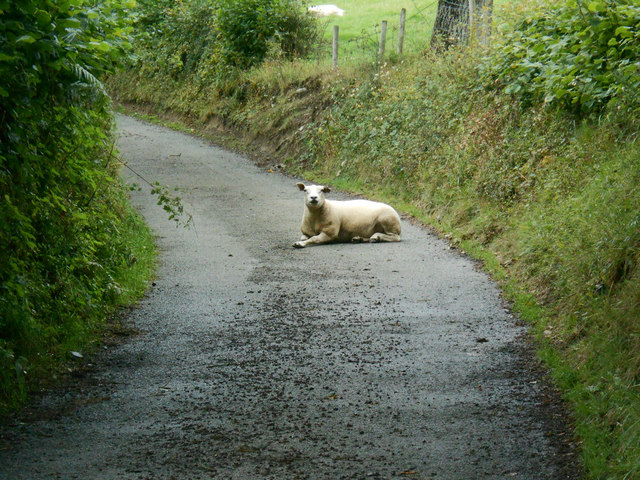
Ceunant Hangman is home to a plethora of wildlife, making it a haven for birdwatchers and animal lovers. From red kites and owls to elusive otters and badgers, the valley provides an opportunity to observe these creatures in their natural habitat.

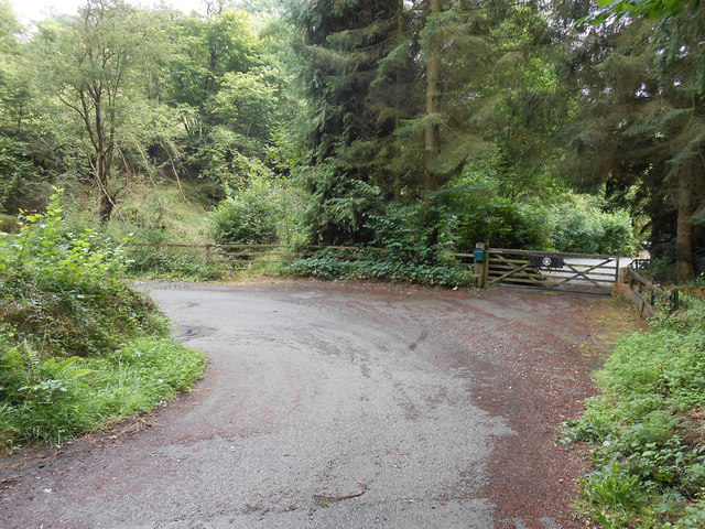
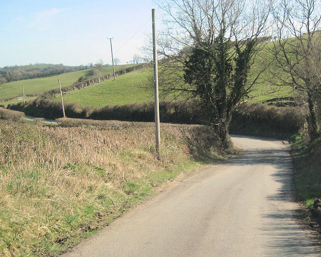
The valley also offers various walking trails, allowing visitors to explore its beauty at their own pace. These trails lead to stunning viewpoints that offer panoramic vistas of the surrounding countryside, making it a popular spot for photographers and artists.

Overall, Ceunant Hangman is a captivating valley that showcases the natural wonders of Montgomeryshire. Its unspoiled beauty and tranquility make it a must-visit destination for those seeking solace in nature.

If you have any feedback on the listing, please let us know in the comments section below.

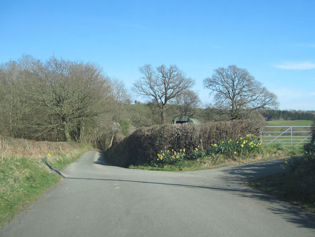
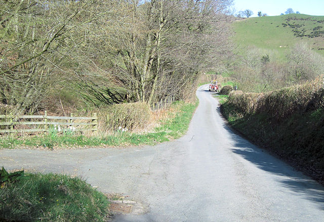
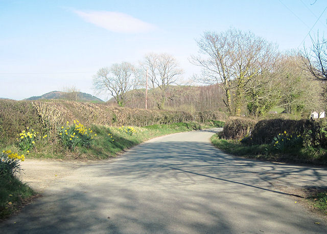
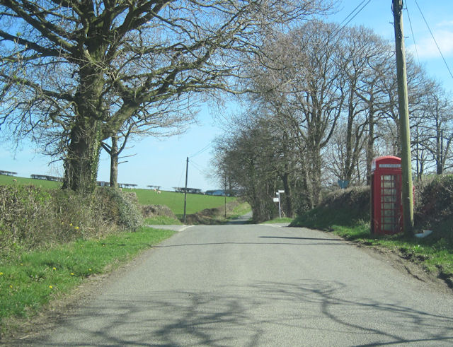
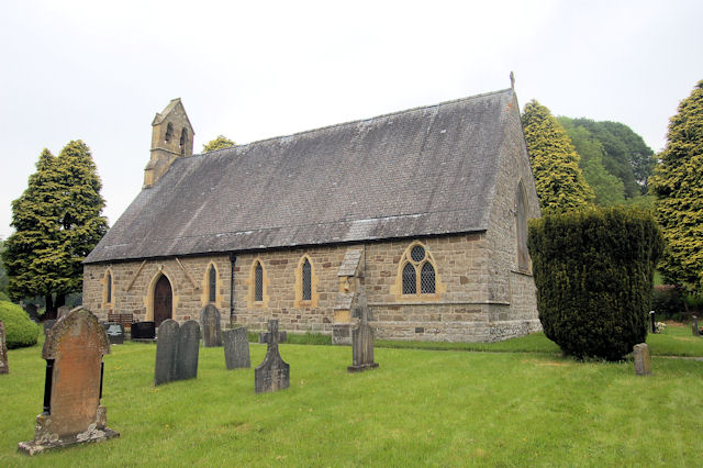
Ceunant Hangman Images

Images are sourced within 2km of 52.726116/-3.3021024 or Grid Reference SJ1215. Thanks to Geograph Open Source API. All images are credited.

Forest track in Big Wood, Cwm Nant-y-Meichiaid We thought this was the public right of way from the bend at Cwm Nant - it isn't - we took the wrong path - this one ended in the field which is the light at the end of the tunnel in this picture.
Forest track in Big Wood, Cwm Nant-y-Meichiaid
We thought this was the public right of way from the bend at Cwm Nant - it isn't - we took the wrong path - this one ended in the field which is the light at the end of the tunnel in this picture.
Looking down into Cwm Nant-y-Meichiaid A look back into this loveliest of quiet and hidden valleys deep in rural Montgomeryshire.  This is effectively nowhere, and that valley is the middle of it.  There are a few places like that around here.  The hilltops, undulate for miles and navigation, even for experienced map-readers can still be a little confusing.  And I live here.  The twin hills are unnamed as far as the map goes, but lie just south of Craignant Mawr.
Looking down into Cwm Nant-y-Meichiaid
A look back into this loveliest of quiet and hidden valleys deep in rural Montgomeryshire. This is effectively nowhere, and that valley is the middle of it. There are a few places like that around here. The hilltops, undulate for miles and navigation, even for experienced map-readers can still be a little confusing. And I live here. The twin hills are unnamed as far as the map goes, but lie just south of Craignant Mawr.
Ash tree in bwlch between two minor tops Ash trees are magical.  Just go and touch this one to find out.  Hidden from the rest of humanity except those braving this rarely walked path below Moel Llaethbwlch.
Ash tree in bwlch between two minor tops
Ash trees are magical. Just go and touch this one to find out. Hidden from the rest of humanity except those braving this rarely walked path below Moel Llaethbwlch.
Trackway to Craignant-mawr An extremely peaceful area - a lot of our walked covered the endless lanes and we only saw one car all day - the postman.  Moel Llaethbwlch behind the photographer.
Trackway to Craignant-mawr
An extremely peaceful area - a lot of our walked covered the endless lanes and we only saw one car all day - the postman. Moel Llaethbwlch behind the photographer.
Moel Llaethbwlch When I first glanced at the map, without my reading glasses, I read it as Moel Llaethbuwch.  This as a name far more prosaic in that it would have meant Milky Cow Hill.  Milk Pass Hill a good second place.  This hill at 1,190ft stands proud of the many local bumps.  Strangely, there is a spot height of 348 metres slightly northwest and below the summit.
Moel Llaethbwlch
When I first glanced at the map, without my reading glasses, I read it as Moel Llaethbuwch. This as a name far more prosaic in that it would have meant Milky Cow Hill. Milk Pass Hill a good second place. This hill at 1,190ft stands proud of the many local bumps. Strangely, there is a spot height of 348 metres slightly northwest and below the summit.
Entrance to Felin Cadwnfa Now here is a quiet place.  With Nant y Pandy on its journey towards Vyrnwy passing under the road on left of picture.
Entrance to Felin Cadwnfa
Now here is a quiet place. With Nant y Pandy on its journey towards Vyrnwy passing under the road on left of picture.
Rambo on the road So little traffic passes this road between Ebeneezer Adgyweiriwyd and Felin Cadwnfa that this ram could call the lane his home.  The ram however was terribly meithered by an injury to its ear.  I trust his diligent farmer would pick this up and treat it.
Rambo on the road
So little traffic passes this road between Ebeneezer Adgyweiriwyd and Felin Cadwnfa that this ram could call the lane his home. The ram however was terribly meithered by an injury to its ear. I trust his diligent farmer would pick this up and treat it.
Lane above Penarlas Very little to photograph of interest in this grid square, especially given the dearth of open and accessible footpaths.  We walked 10 miles of hill and lane this day and found only one footpath sign.  This bit of lane typical of our day. We only had 3 miles to go at this point.
Lane above Penarlas
Very little to photograph of interest in this grid square, especially given the dearth of open and accessible footpaths. We walked 10 miles of hill and lane this day and found only one footpath sign. This bit of lane typical of our day. We only had 3 miles to go at this point.
Track to somewhere We couldn't even glean from the ordnance survey or later via an internet search just where this track goes to.  Not wanting to trespass, it would seem to be an agricultural building.  It could just be the highly secretive Supreme Headquarters of the Alien Defence Organisation(SHADO).  Then again it might just be a big shed.  But hey, it's in grid square SJ115. Enjoy.
Track to somewhere
We couldn't even glean from the ordnance survey or later via an internet search just where this track goes to. Not wanting to trespass, it would seem to be an agricultural building. It could just be the highly secretive Supreme Headquarters of the Alien Defence Organisation(SHADO). Then again it might just be a big shed. But hey, it's in grid square SJ115. Enjoy.
Meifod road below Pen llys
Entrance to Ty Coch
Entrance to Ty Coch
Entrance east of Ty Coch off Meifod road
Road towards Haulfan
The Voel junction on the Meifod road Near Haulfen
The Voel junction on the Meifod road
Near Haulfen
Junction near Pen-y-Coed Looking towards Meifod
Junction near Pen-y-Coed
Looking towards Meifod
Penhyros House From Meifod road
Penhyros House
From Meifod road
Meifod road east of Penyrhos
Approaching cross roads at Rhos Pen Bwa
Show me another place!

Ceunant Hangman is located at Grid Ref: SJ1215 (Lat: 52.726116, Lng: -3.3021024)

Unitary Authority: Powys

Police Authority: Dyfed Powys

What 3 Words

///pouting.bead.animals. Near Llanfyllin, Powys

Nearby Locations

Ceunant Hangman

Related Wikis

Pontrobert

Pontrobert is an ecclesiastical parish that was formed in September 1854. It comprises the townships of Teirtref and part of Nantymeichiaid in the parish...

Dolobran, Montgomeryshire

Dolobran, in the county of Montgomeryshire (now Powys) in Wales, is a historic estate which was the earliest known seat of the expansive Lloyd family,...

Meifod

Meifod, formerly also written Meivod (), is a small village, community and electoral ward 7 miles north-west of Welshpool in Montgomeryshire, Powys, Wales...

Caereinion

Caereinion (fort of Einion) was a medieval cantref in the Kingdom of Powys, or possibly it was a commote (cwmwd) within a cantref called Llŷs Wynaf. It...

River Banwy

The River Banwy is a river about 19 miles (31 km) long in Powys, Wales. It is a tributary of the River Vyrnwy. The Banwy rises in the hills near the pass...
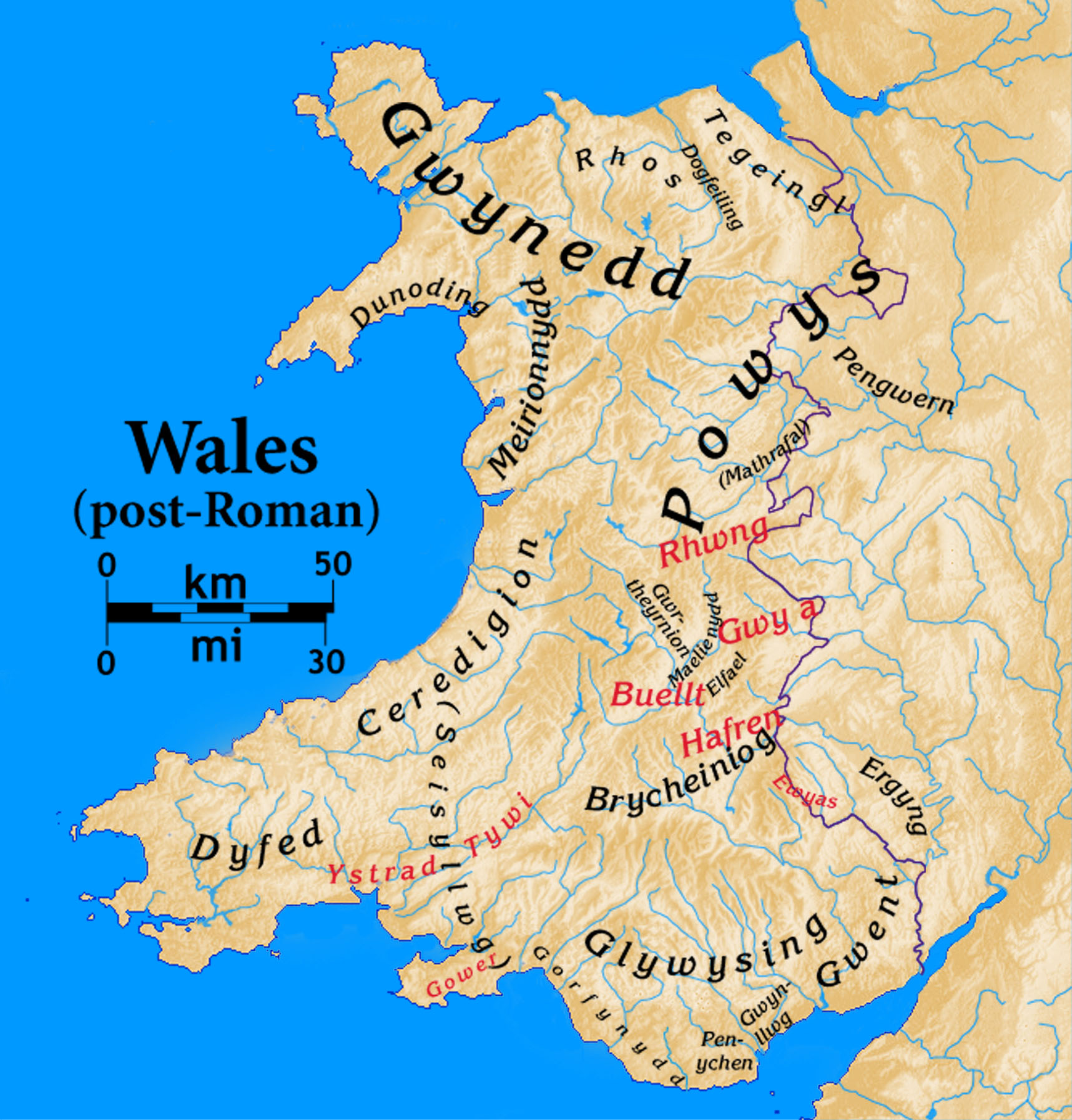
Dogfeiling

Dogfeiling was a minor sub-kingdom and later a commote in north Wales. It formed part of the eastern border of the Kingdom of Gwynedd in early medieval...

Mathrafal

Mathrafal near Welshpool, in Powys, Mid Wales, was the seat of the Kings and Princes of Powys probably from the 9th century until its destruction in 1213...

Plynlimon and Hafan Tramway

The Plynlimon and Hafan Tramway was a 2 ft 3 in (686 mm) gauge narrow gauge railway in Cardiganshire (now Ceredigion) in Mid Wales. It ran from Llanfihangel...

Nearby Amenities

Located within 500m of 52.726116,-3.3021024
Place: farm
Lat/Long: 52.7296377/-3.3015146
The data included in this document is from www.openstreetmap.org. The data is made available under ODbL.

Have you been to Ceunant Hangman?

Leave your review of Ceunant Hangman below (or comments, questions and feedback).