Annandale

Valley in Dumfriesshire

Scotland

Annandale

National Cycle Route 74 Heading north on the B7076 towards Johnstonebridge.
Runs parallel to the A74(M) at this point.
National Cycle Route 74 Credit: JThomas

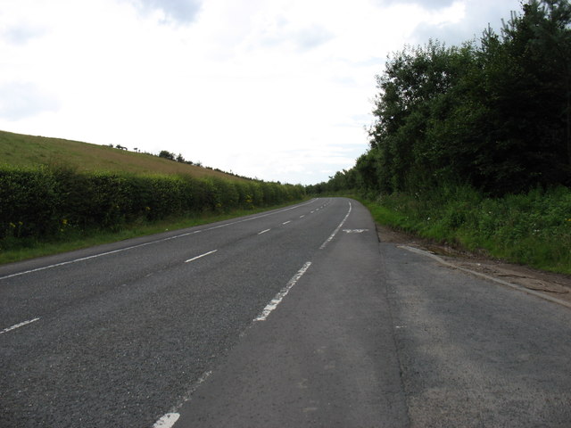
Annandale is a picturesque valley located in the county of Dumfriesshire in the southern part of Scotland. Situated along the River Annan, the valley stretches approximately 30 miles from its headwaters in the Moffat Hills to its mouth at the Solway Firth.

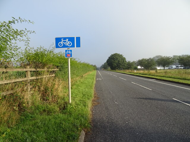
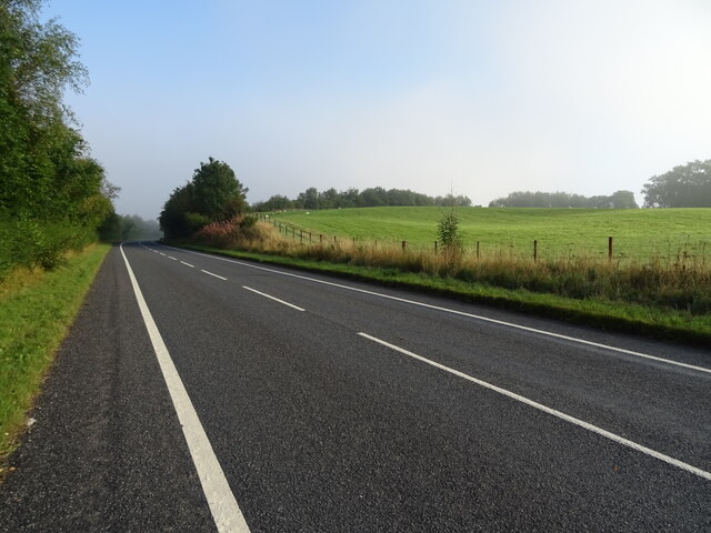
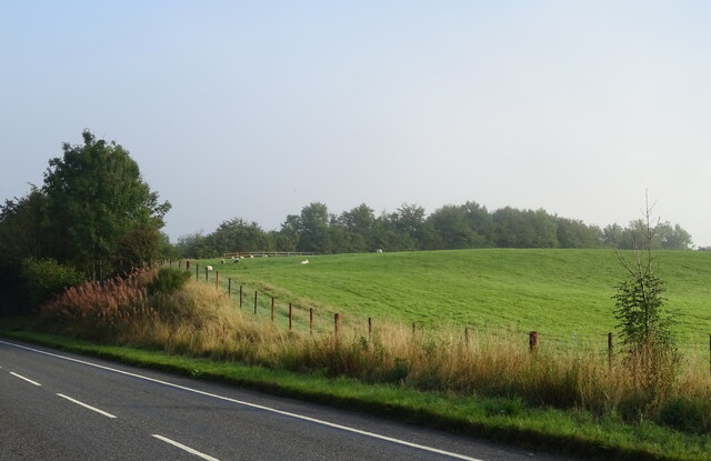
Renowned for its captivating natural beauty, Annandale is blessed with rolling hills, lush green fields, and charming woodlands. The valley is surrounded by the breathtaking Southern Uplands, which provide a stunning backdrop for the region. The River Annan meanders through the valley, offering tranquil spots for fishing and leisurely walks along its banks.

The region has a rich history dating back thousands of years. Annandale was once home to various ancient civilizations, and evidence of their settlements can still be seen in the form of standing stones and burial mounds. The valley was also a significant location during the Wars of Independence between Scotland and England, with several castles and fortresses dotting the landscape.

Annandale is not only known for its natural beauty and historical significance but also for its warm and welcoming community. The valley is home to several charming villages and towns, including Moffat, Lockerbie, and Annan. These communities offer a range of amenities, including shops, cafes, and traditional pubs, where visitors can experience the local culture and hospitality.

Whether it's exploring the stunning countryside, delving into history, or simply enjoying the peaceful ambiance, Annandale offers a perfect retreat for nature lovers and history enthusiasts alike.

If you have any feedback on the listing, please let us know in the comments section below.

Annandale Images

Images are sourced within 2km of 55.197647/-3.3819228 or Grid Reference NY1290. Thanks to Geograph Open Source API. All images are credited.

National Cycle Route 74 Heading north on the B7076 towards Johnstonebridge.
Runs parallel to the A74(M) at this point.
National Cycle Route 74
Heading north on the B7076 towards Johnstonebridge. Runs parallel to the A74(M) at this point.
B7076 towards Johnstonebridge Heading north parallel to the A74(M).
B7076 towards Johnstonebridge
Heading north parallel to the A74(M).
Grazing, Dinwoodie Beside the B7076.
Grazing, Dinwoodie
Beside the B7076.
Road junction with the B7076
The B7076 (former A74), heading south
Long straight section of the A74(M) The A74(M) & M74  run over 80 miles from the M6 at the Scottish border near Gretna to the M8 at Glasgow. This is one of the two most important routeways into Scotland from the south. The last stretch of the M74 opened in 2011 (see <a title="https://www.geograph.org.uk/snippet/590" href="https://www.geograph.org.uk/snippet/590">Link</a> ).
Wikipedia: <span class="nowrap"><a title="http://en.wikipedia.org/wiki/A74(M)_and_M74_motorways" rel="nofollow ugc noopener" href="http://en.wikipedia.org/wiki/A74(M)_and_M74_motorways">Link</a><img style="margin-left:2px;" alt="External link" title="External link - shift click to open in new window" src="https://s1.geograph.org.uk/img/external.png" width="10" height="10"/></span>
Long straight section of the A74(M)
The A74(M) & M74 run over 80 miles from the M6 at the Scottish border near Gretna to the M8 at Glasgow. This is one of the two most important routeways into Scotland from the south. The last stretch of the M74 opened in 2011 (see Link ). Wikipedia: LinkExternal link
Site of Dinwoodie station, 1991 View northward, towards Beattock, Carstairs and Glasgow etc.: ex-Caledonian Railway section of the WCML up Annandale. The station was closed 13/6/60 to facilitate acceleration of express trains and the route was electrified in 1974.
Site of Dinwoodie station, 1991
View northward, towards Beattock, Carstairs and Glasgow etc.: ex-Caledonian Railway section of the WCML up Annandale. The station was closed 13/6/60 to facilitate acceleration of express trains and the route was electrified in 1974.
Dalmakethar Cottages Viewed from a Glasgow bound train.
Dalmakethar Cottages
Viewed from a Glasgow bound train.
Dalmakethar Cottages Viewed from a Glasgow bound train.
Dalmakethar Cottages
Viewed from a Glasgow bound train.
Dalmakethar Cottages Dalmakethar Cottages seen from the WCML.
Dalmakethar Cottages
Dalmakethar Cottages seen from the WCML.
Track leading to Newbigging Hill Looking westward.
Track leading to Newbigging Hill
Looking westward.
Roundabout on the B7076
National Cycle Route 74 Heading north towards Johnstonebridge.
National Cycle Route 74
Heading north towards Johnstonebridge.
Hangingshaw Cottages
B7076 towards Johnstonebridge Runs parallel to the A74(M) at this point.
B7076 towards Johnstonebridge
Runs parallel to the A74(M) at this point.
A74(M), southbound The A74(M) & M74  run over 80 miles from the M6 at the Scottish border near Gretna to the M8 at Glasgow. This is one of the two most important routeways into Scotland from the south. The last stretch of the M74 opened in 2011 (see <a title="https://www.geograph.org.uk/snippet/590" href="https://www.geograph.org.uk/snippet/590">Link</a> ).
Wikipedia: <span class="nowrap"><a title="http://en.wikipedia.org/wiki/A74(M)_and_M74_motorways" rel="nofollow ugc noopener" href="http://en.wikipedia.org/wiki/A74(M)_and_M74_motorways">Link</a><img style="margin-left:2px;" alt="External link" title="External link - shift click to open in new window" src="https://s1.geograph.org.uk/img/external.png" width="10" height="10"/></span>
A74(M), southbound
The A74(M) & M74 run over 80 miles from the M6 at the Scottish border near Gretna to the M8 at Glasgow. This is one of the two most important routeways into Scotland from the south. The last stretch of the M74 opened in 2011 (see Link ). Wikipedia: LinkExternal link
Line of trees near Dinwoodie Mains
Field near Dinwoodie Mains
Show me another place!

Annandale is located at Grid Ref: NY1290 (Lat: 55.197647, Lng: -3.3819228)

Unitary Authority: Dumfries and Galloway

Police Authority: Dumfries and Galloway

What 3 Words

///smiled.bedding.palettes. Near Johnstonebridge, Dumfries & Galloway

Related Wikis

Dinwoodie railway station

Dinwoodie railway station was a station which served the rural area around the settlement of Dinwoodie, 6 miles north of Lockerbie in Applegarth parish...
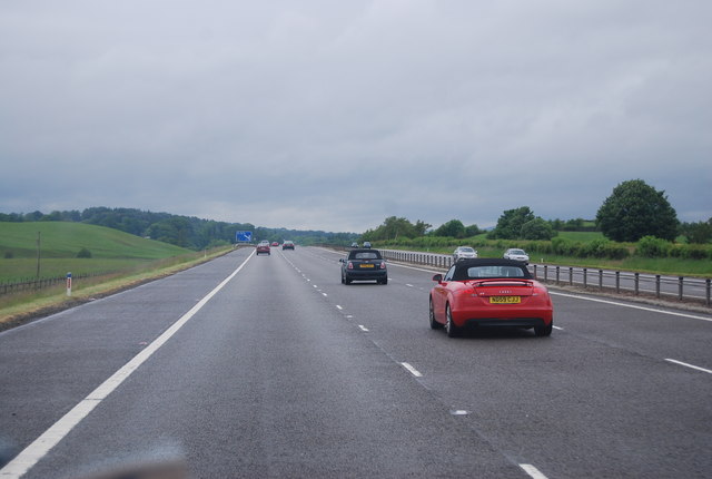
Johnstonebridge

Johnstonebridge is a village in Dumfries and Galloway, Scotland.It is roughly halfway between Moffat and Lockerbie, and lies on the A74(M) motorway. The...

Annandale Water services

Annandale Water services is a motorway service station in the village of Johnstonebridge, Scotland. The service station is located next to the A74(M) motorway...

Annandale Water

Annandale Water is a loch in Annandale, Dumfries and Galloway, in the south west of Scotland. It is part of Annandale Water service station at Junction...

Sibbaldbie

Sibbaldbie is a small village in Annandale, Dumfries and Galloway, Scotland. == References ==
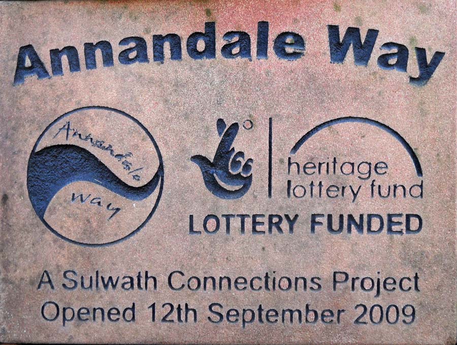
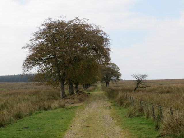
Annandale Way

The Annandale Way is a 90-kilometre (56 mi) hiking trail in Scotland, which is officially designated by NatureScot as one of Scotland's Great Trails. It...

Nethercleugh railway station

Nethercleugh railway station was a station which served the rural area around Nethercleugh and the estate of Jardine Hall, 3 miles north of Lockerbie in...

Boreland

Boreland is a village in Dumfries and Galloway, Scotland, which is located in Dryfesdale about 7 miles (11 kilometres) north of Lockerbie on the B723 road...

Nearby Amenities

Located within 500m of 55.197647,-3.3819228
Power: pole
Lat/Long: 55.1997947/-3.3879191
Power: pole
Lat/Long: 55.1998285/-3.386747
Power: pole
Lat/Long: 55.1998668/-3.3851319
Power: pole
Lat/Long: 55.1998844/-3.3844055
Power: pole
Lat/Long: 55.1999167/-3.3835271
Power: pole
Lat/Long: 55.1999535/-3.3826512
Power: pole
Lat/Long: 55.19998/-3.3818424
Power: pole
Lat/Long: 55.2000211/-3.3813529
Power: pole
Lat/Long: 55.1991287/-3.3848434
Power: pole
Lat/Long: 55.198379/-3.3845626
Power: pole
Lat/Long: 55.1976365/-3.3842844
Power: pole
Lat/Long: 55.1970866/-3.3840809
Power: pole
Lat/Long: 55.1965103/-3.3838671
The data included in this document is from www.openstreetmap.org. The data is made available under ODbL.

Have you been to Annandale?

Leave your review of Annandale below (or comments, questions and feedback).