Glen Ely
Valley in Peeblesshire
Scotland
Glen Ely

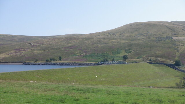
Glen Ely is a picturesque valley located in the Peeblesshire region of Scotland. Nestled in the Southern Uplands, this valley stretches for approximately 10 miles and is renowned for its stunning natural beauty. The area is characterized by rolling hills, lush greenery, and meandering streams, creating a tranquil and idyllic atmosphere.
One of the prominent features of Glen Ely is the Ely Water, a river that flows through the valley. The river is a haven for various species of fish, including trout and salmon, making it a popular spot for fishing enthusiasts. The surrounding landscape is also a paradise for hikers, with numerous trails offering breathtaking views of the valley and the surrounding hills.
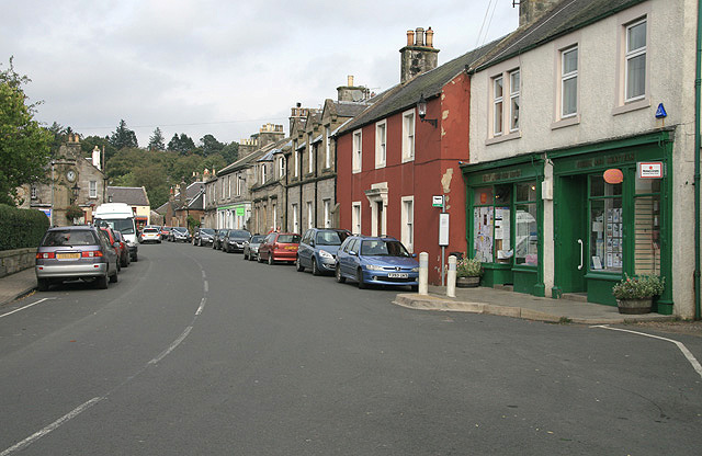
The valley is dotted with charming villages and hamlets, each with its own unique character. The local communities are known for their warm hospitality and strong sense of community spirit. Glen Ely offers a peaceful retreat for those seeking a break from the hustle and bustle of city life.
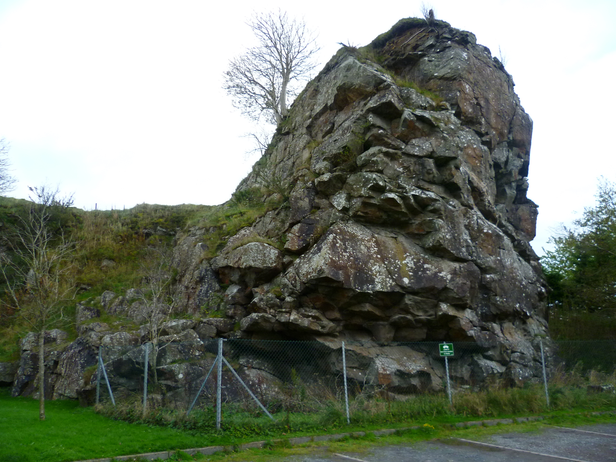
The valley is rich in history, with several ancient sites and landmarks scattered throughout the area. One such site is the Ely Tower, a medieval tower house that stands as a reminder of the region's past. Visitors can explore the tower and learn about its history, or simply enjoy the panoramic views it offers from the top.
Glen Ely is truly a hidden gem, offering visitors a chance to immerse themselves in nature, explore historical sites, and experience the warmth of a close-knit community. Whether it's fishing, hiking, or simply enjoying the serenity of the Scottish countryside, Glen Ely has something to offer for everyone.
If you have any feedback on the listing, please let us know in the comments section below.
Glen Ely Images
Images are sourced within 2km of 55.775391/-3.4023966 or Grid Reference NT1254. Thanks to Geograph Open Source API. All images are credited.


Glen Ely is located at Grid Ref: NT1254 (Lat: 55.775391, Lng: -3.4023966)
Unitary Authority: The Scottish Borders
Police Authority: The Lothians and Scottish Borders
What 3 Words
///attracts.revealing.gushes. Near West Linton, Scottish Borders
Nearby Locations
Related Wikis

Baddinsgill
Baddinsgill is a hamlet in the Scottish Borders area of Scotland. The Baddinsgill Reservoir is a few hundred metres north of the hamlet. == See also... ==

Baddinsgill Reservoir
Baddinsgill Reservoir is a small reservoir in the Scottish Borders area of Scotland close to Carlops, West Linton, and the boundary with Midlothian. It...

West Water Reservoir
West Water Reservoir (sometimes Westwater Reservoir) is an artificial reservoir in the Pentland Hills, Scottish Borders, 3 kilometres (1.9 mi) west of...
West Linton
West Linton (Scottish Gaelic: Liontan Ruairidh) is a village and civil parish in southern Scotland, on the A702. It was formerly in the county of Peeblesshire...
Pentland Hills
The Pentland Hills are a range of hills southwest of Edinburgh, Scotland. The range is around twenty miles (thirty kilometres) in length, and runs southwest...

West Cairn Hill
West Cairn Hill is a hill in the Pentland Hills range of Scotland. With a height of 562 m (1,844 ft), it is the fifth highest elevation and lies on the...
Carlops
Carlops (Scottish Gaelic: Leum na Caillich) is a small village in the Pentland Hills, within the Scottish Borders area of Scotland, close to the boundary...

Cauldstane Slap
Cauldstane Slap is a pass located in the Pentland Hills of Scotland. It marks the border between the neighboring council areas of West Lothian and Scottish...
Nearby Amenities
Located within 500m of 55.775391,-3.4023966Have you been to Glen Ely?
Leave your review of Glen Ely below (or comments, questions and feedback).