Damkirk Bottom
Valley in Cumberland Copeland
England
Damkirk Bottom
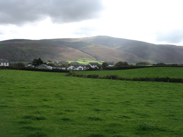
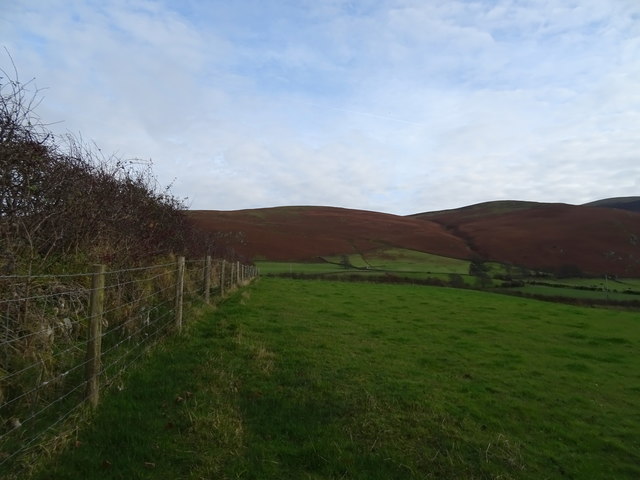
Damkirk Bottom is a small village located in the stunning Cumberland Valley, nestled within the picturesque county of Cumberland in northwestern England. This idyllic village is situated at the southern end of the valley, surrounded by rolling hills and lush greenery, providing a tranquil and serene environment for its residents.
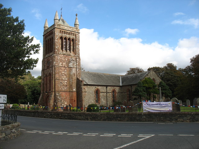
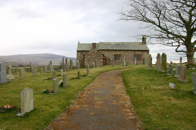
The village itself boasts a charming and quaint atmosphere, with traditional stone-built houses lining its narrow streets. It is home to a close-knit community, with a population of approximately 500 residents. The village has a rich history, dating back several centuries, and remnants of its past can be seen in the form of historical buildings and landmarks, such as the ancient St. Mary's Church, which dates back to the 12th century.
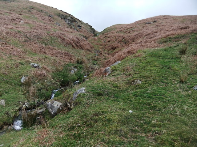
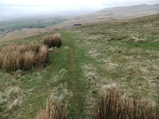
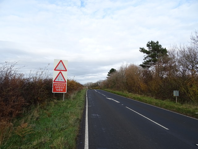
Nature enthusiasts will find themselves in paradise in Damkirk Bottom, as the surrounding countryside offers countless opportunities for outdoor activities. The valley is crisscrossed by numerous walking trails, allowing visitors to explore the breathtaking beauty of the landscape. The nearby river provides excellent fishing spots, attracting anglers from far and wide.
Despite its rural setting, Damkirk Bottom is well-connected to larger towns and cities in the region. The village has a small but convenient range of amenities, including a local shop, a post office, and a cozy pub. Its accessibility to nearby towns ensures that residents have access to essential services and a wider range of amenities.
Overall, Damkirk Bottom presents an enchanting blend of natural beauty, historical significance, and a close-knit community, making it an ideal destination for those seeking a peaceful and idyllic countryside lifestyle.
If you have any feedback on the listing, please let us know in the comments section below.
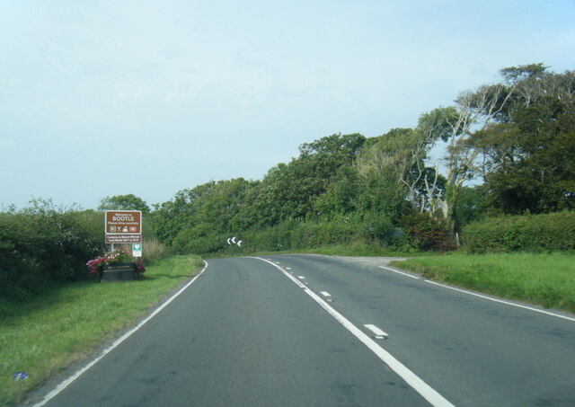
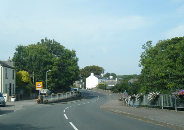
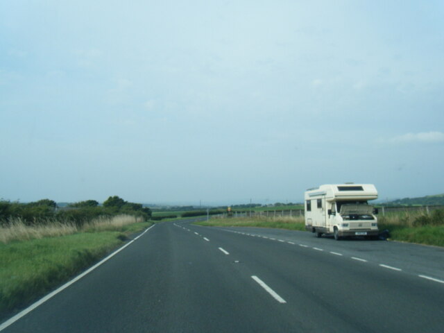
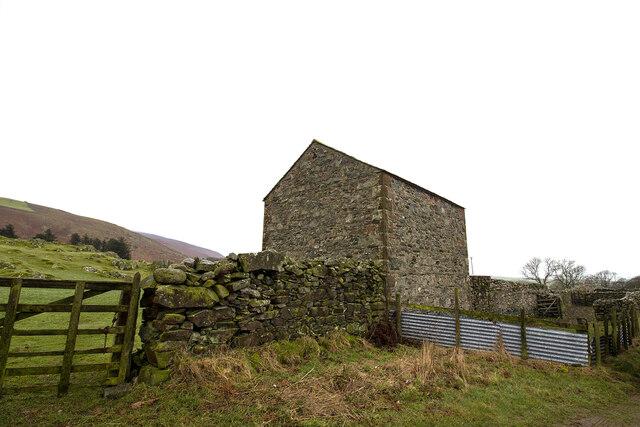
Damkirk Bottom Images
Images are sourced within 2km of 54.287957/-3.3520387 or Grid Reference SD1288. Thanks to Geograph Open Source API. All images are credited.


Damkirk Bottom is located at Grid Ref: SD1288 (Lat: 54.287957, Lng: -3.3520387)
Administrative County: Cumbria
District: Copeland
Police Authority: Cumbria
What 3 Words
///gadgets.climber.gems. Near Millom, Cumbria
Nearby Locations
Related Wikis
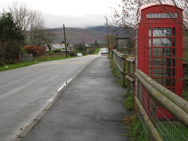
Corney
Corney is a village and former civil parish, now in the parish of Waberthwaite, in the Cumberland district, in the ceremonial county of Cumbria, England...
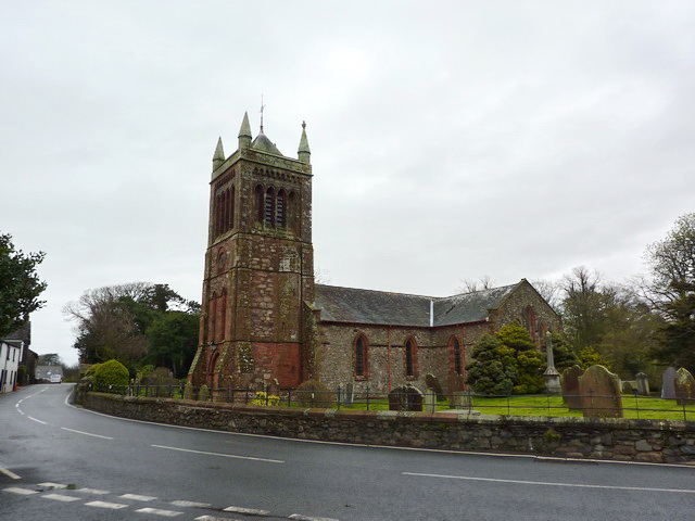
St Michael's Church, Bootle
St Michael's Church is in the village of Bootle, Cumbria, England. It is an active Anglican parish church in the deanery of Calder, the archdeaconry of...

Bootle, Cumbria
Bootle (oo as in boot) is a village and civil parish in the Borough of Copeland in Cumbria, England. The parish had a population of 745 in the 2001 census...
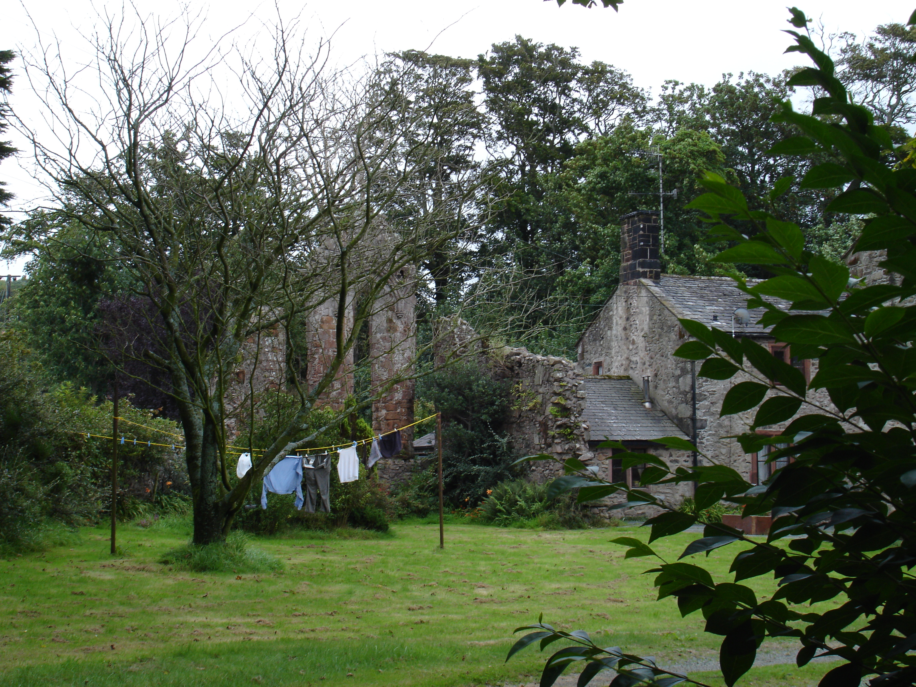
Seaton Priory
Originally called the nunnery of Lekeley from the name of the land it was built upon, the former nunnery of Seaton is to the north of the parish of Bootle...
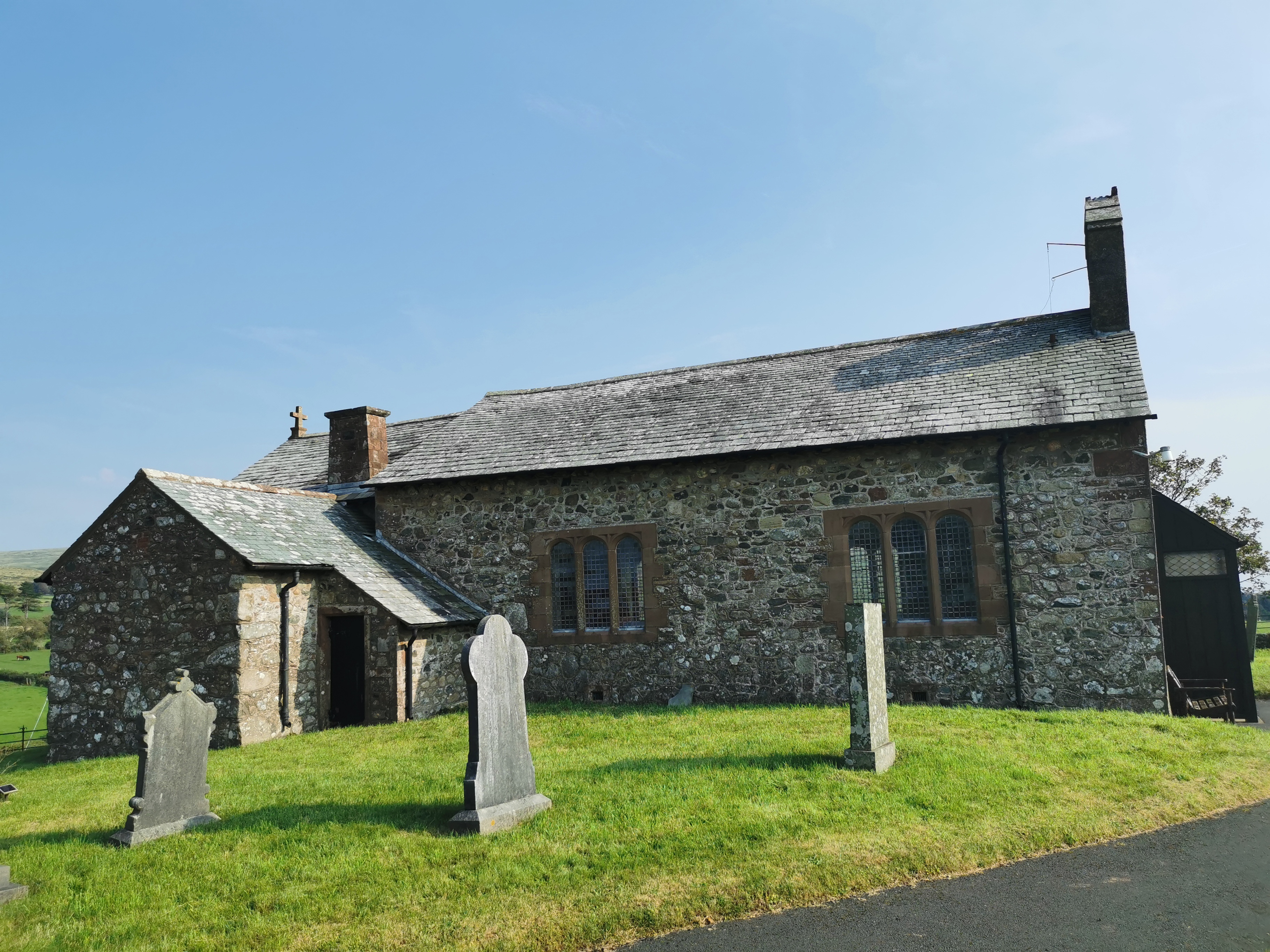
St John the Baptist, Corney
St John the Baptist, is in Corney, Cumbria, England. It is an Anglican parish church in the deanery of Calder, and the diocese of Carlisle. Its benefice...
Hycemoor
Hycemoor is a hamlet in Copeland borough of the county of Cumbria, in North west England. == Location == It is located on a minor road about a mile away...
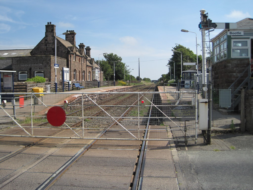
Bootle railway station
Bootle is a railway station on the Cumbrian Coast Line, which runs between Carlisle and Barrow-in-Furness. The station, situated 24 miles (39 km) north...

Black Combe
Black Combe is a fell in the south-west corner of the Lake District National Park, England, just 4 miles (6.4 km) from the Irish Sea. It lies near the...
Nearby Amenities
Located within 500m of 54.287957,-3.3520387Have you been to Damkirk Bottom?
Leave your review of Damkirk Bottom below (or comments, questions and feedback).