Garelet Cleuch
Valley in Peeblesshire
Scotland
Garelet Cleuch
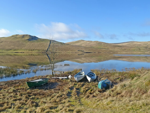
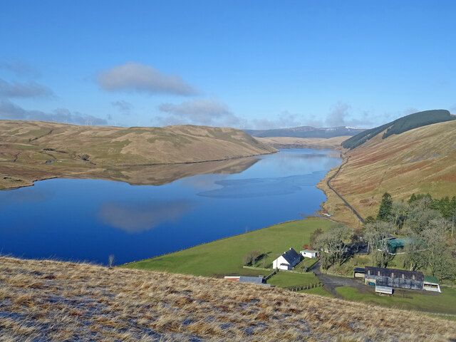
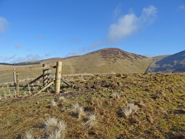
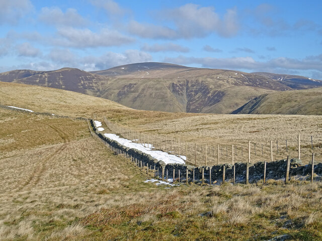
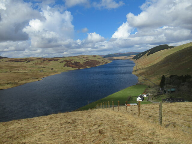
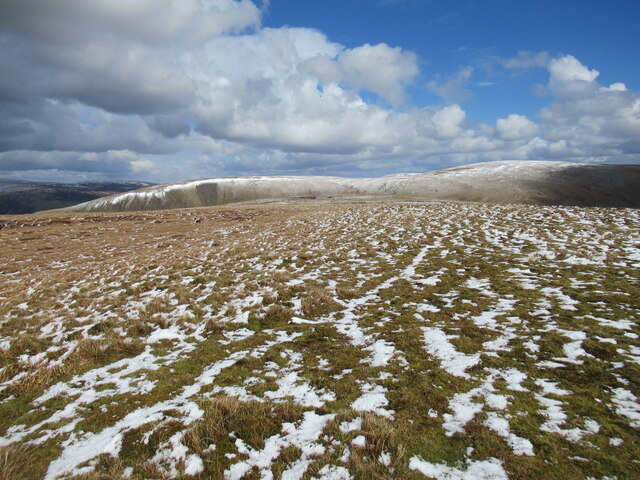
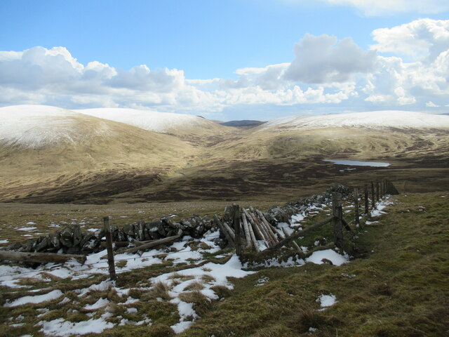
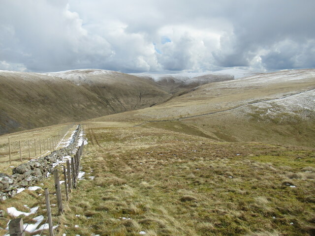
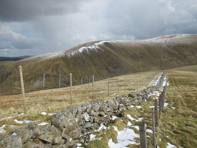
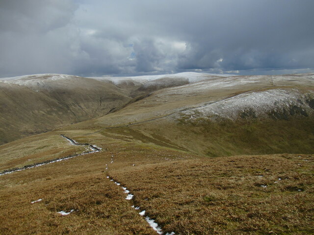
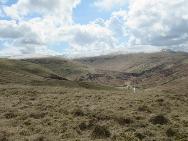
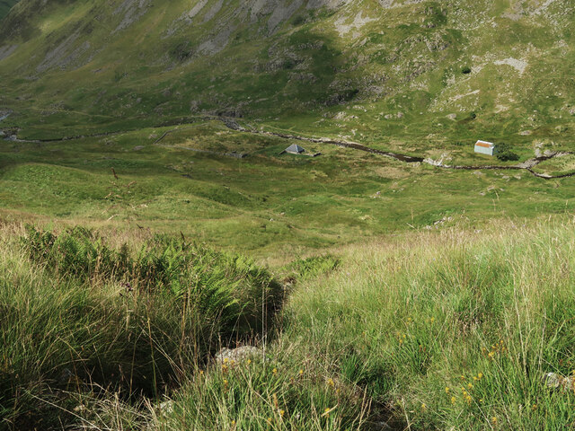
Garelet Cleuch is a picturesque valley located in the historic county of Peeblesshire, Scotland. Situated in the southern part of the country, it is known for its stunning natural beauty and tranquil atmosphere. The valley is nestled between rolling hills and is flanked by the majestic River Tweed, which meanders gracefully through the landscape.
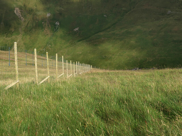
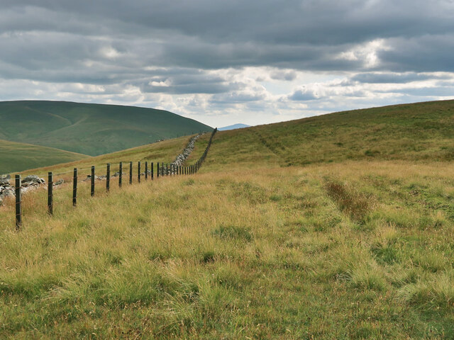
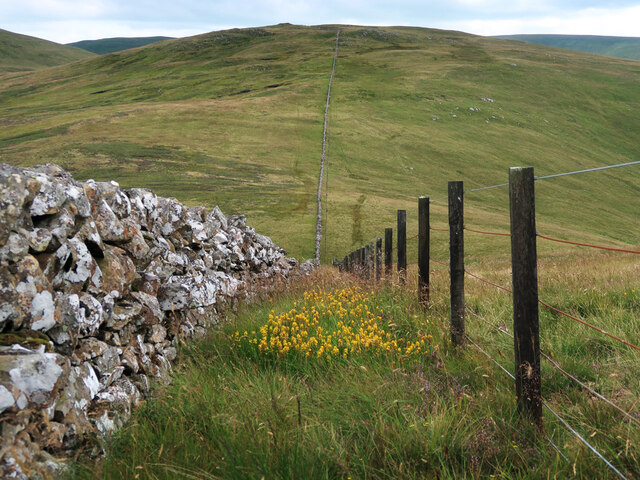
The countryside surrounding Garelet Cleuch is characterized by lush greenery, with patches of dense woodland and open fields. The valley itself is carpeted with vibrant wildflowers during the spring and summer months, creating a colorful and enchanting sight. The valley is also home to a diverse range of wildlife, including deer, rabbits, and various bird species, making it a haven for nature lovers and wildlife enthusiasts.
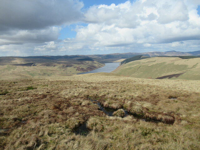
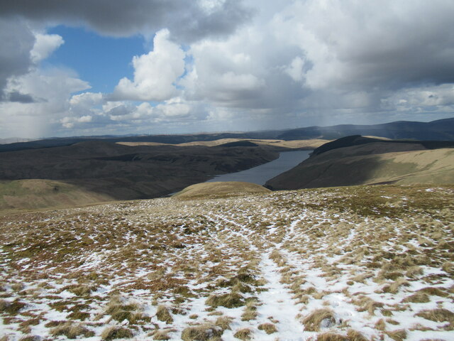
The area offers several walking and hiking trails, allowing visitors to explore the valley and admire its natural wonders up close. These trails provide stunning vistas of the surrounding countryside, with panoramic views that stretch for miles. The peacefulness and tranquility of Garelet Cleuch make it an ideal destination for those seeking a retreat from the hustle and bustle of everyday life.
Although it is primarily a rural area, Garelet Cleuch is within easy reach of the nearby town of Peebles, which offers various amenities such as shops, restaurants, and accommodation options. The valley's close proximity to Peebles makes it a popular destination for day trips or longer stays, providing visitors with the best of both worlds – the serenity of the countryside and the conveniences of a town.
If you have any feedback on the listing, please let us know in the comments section below.
Garelet Cleuch Images
Images are sourced within 2km of 55.437936/-3.3917311 or Grid Reference NT1216. Thanks to Geograph Open Source API. All images are credited.
Garelet Cleuch is located at Grid Ref: NT1216 (Lat: 55.437936, Lng: -3.3917311)
Unitary Authority: The Scottish Borders
Police Authority: The Lothians and Scottish Borders
What 3 Words
///protrude.testers.enjoyable. Near Moffat, Dumfries & Galloway
Nearby Locations
Related Wikis

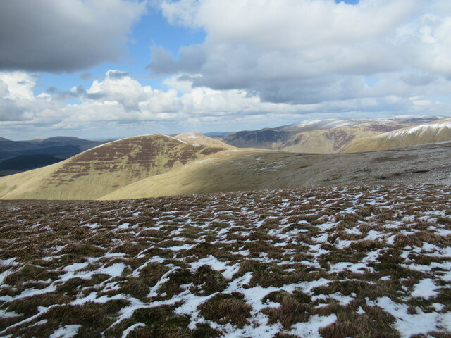
Moffat Hills
The Moffat Hills are a range of hills in the Southern Uplands of Scotland. They form a roughly triangular shape with a west facing side, a north facing...

Fruid Reservoir
Fruid is a small reservoir in the Scottish Borders area of Scotland, UK, near Menzion. It is formed by damming the Fruid Water, and supplements the contents...

Hart Fell
Hart Fell is a hill in the Moffat Hills range, part of the Southern Uplands of Scotland. It lies north of the town of Moffat on the border with the Scottish...

Talla Water
Talla Water is a river in the Scottish Borders area of Scotland, near Tweedsmuir. It feeds the Talla Reservoir, and is a tributary of the River Tweed....
Have you been to Garelet Cleuch?
Leave your review of Garelet Cleuch below (or comments, questions and feedback).