Gameshope Loch

Lake, Pool, Pond, Freshwater Marsh in Peeblesshire

Scotland

Gameshope Loch

Summit plateau on Garelet Dod Carlavin Hill and Molls Cleuch Dod are visible in the distance. As often seems to happen in April, a warm spell has given way to the return of cold northerly winds and wintry showers.
Summit plateau on Garelet Dod Credit: Alan O'Dowd

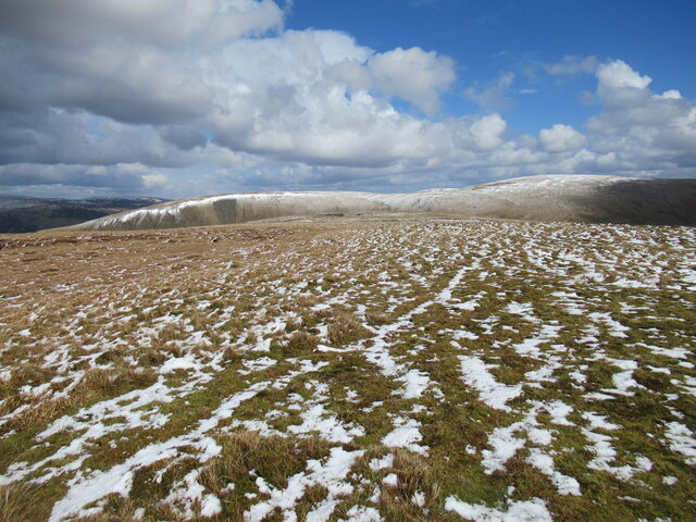
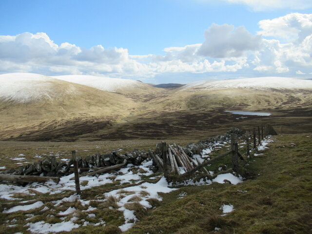
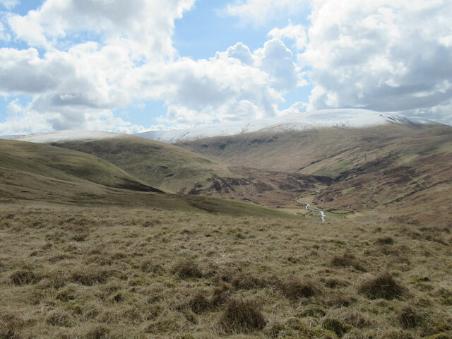
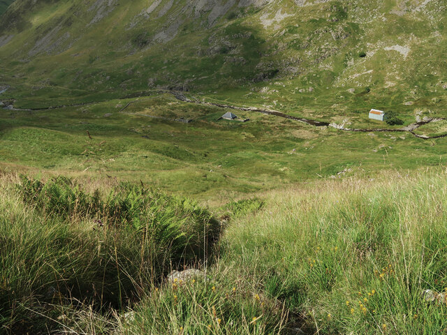
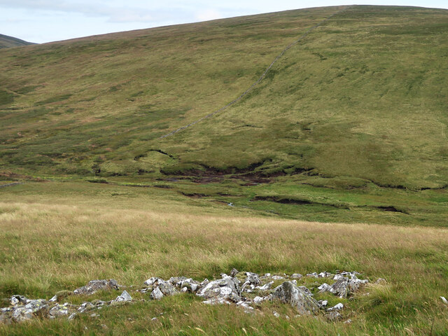
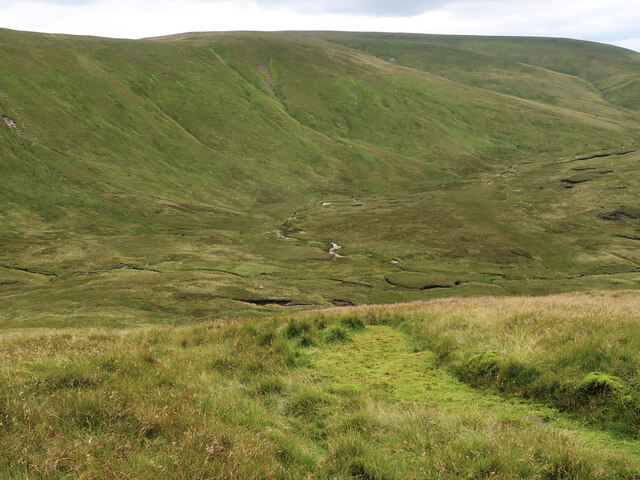
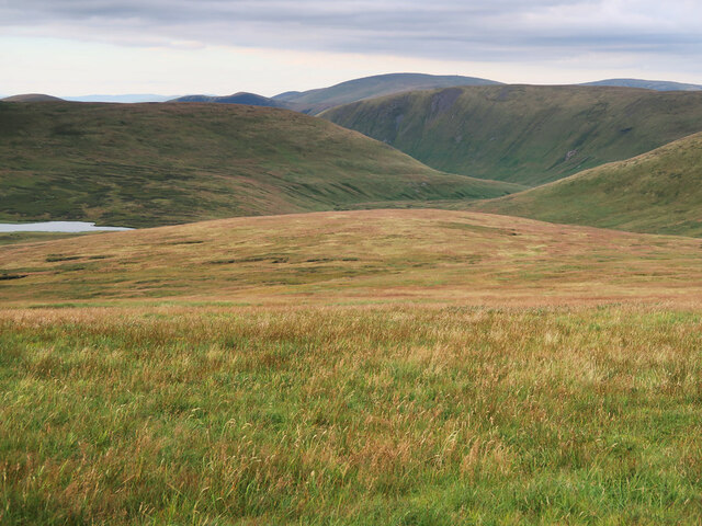
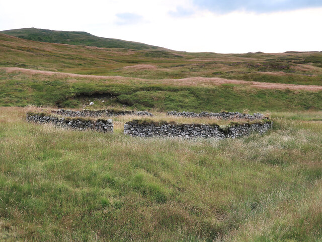
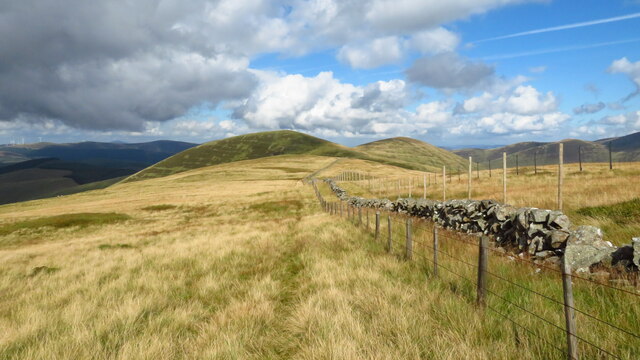
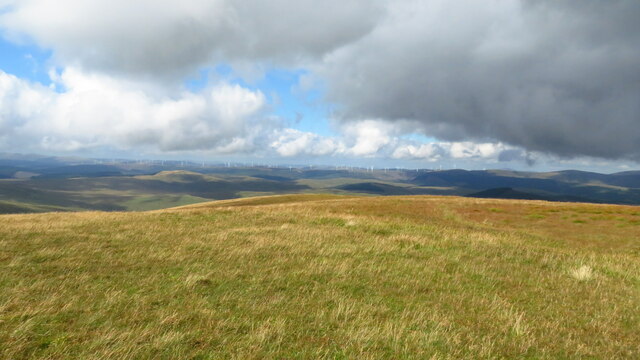
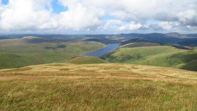
Gameshope Loch is a picturesque freshwater loch located in Peeblesshire, Scotland. Nestled amongst the rolling hills and verdant landscapes, it covers an area of approximately 5 acres. The loch is characterized by its tranquil and serene atmosphere, making it an ideal spot for nature enthusiasts and anglers alike.

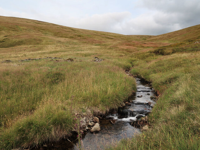
Surrounded by lush vegetation and bordered by a mixture of grassy banks and reed beds, Gameshope Loch offers a diverse habitat for various wildlife species. The loch's crystal-clear waters are home to a variety of freshwater fish, including brown trout, which attracts anglers from near and far.

The loch is an important breeding ground for several bird species, and visitors can often spot a range of waterfowl such as ducks and swans gliding across the calm surface. The surrounding marshes provide an ideal environment for marshland birds, such as snipes and lapwings, to forage and nest.

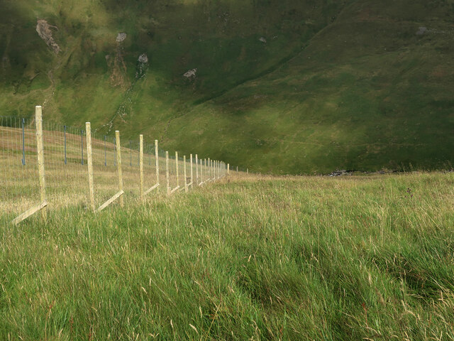
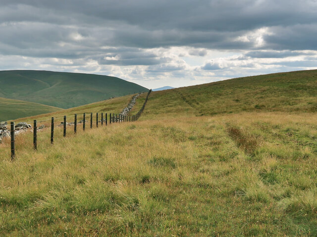
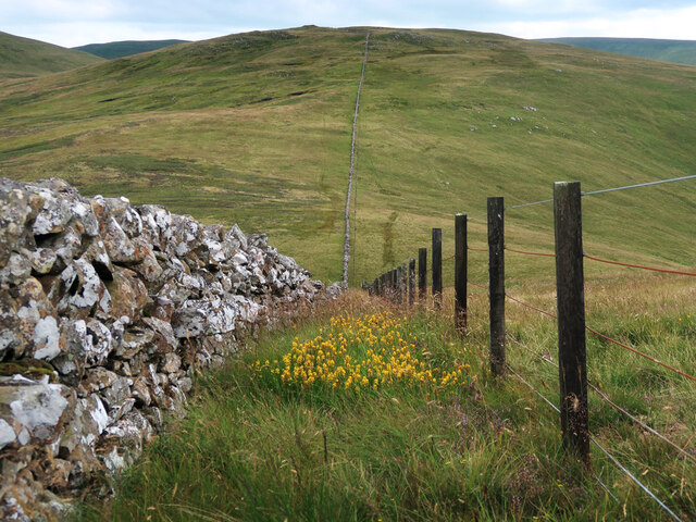
Nature enthusiasts can enjoy the beautiful scenery by walking along the loch's perimeter, which offers breathtaking views of the surrounding hills and the heather-covered moorland. The area is also a haven for outdoor activities such as picnicking, birdwatching, and photography.

Access to Gameshope Loch is relatively easy, with a small parking area nearby and a footpath leading to the loch. The tranquility and natural beauty of Gameshope Loch make it a hidden gem in Peeblesshire, attracting visitors looking to immerse themselves in the peacefulness of the Scottish countryside.

If you have any feedback on the listing, please let us know in the comments section below.

Gameshope Loch Images

Images are sourced within 2km of 55.43321/-3.3766136 or Grid Reference NT1216. Thanks to Geograph Open Source API. All images are credited.

Summit plateau on Garelet Dod Carlavin Hill and Molls Cleuch Dod are visible in the distance. As often seems to happen in April, a warm spell has given way to the return of cold northerly winds and wintry showers.
Summit plateau on Garelet Dod
Carlavin Hill and Molls Cleuch Dod are visible in the distance. As often seems to happen in April, a warm spell has given way to the return of cold northerly winds and wintry showers.
Looking into the upper Games Hope Gameshope Loch is visible in the distance, with snow-covered hillsides above 600m. or so, during a spell of  cold spring weather with northerly winds and wintry showers.
Looking into the upper Games Hope
Gameshope Loch is visible in the distance, with snow-covered hillsides above 600m. or so, during a spell of cold spring weather with northerly winds and wintry showers.
The upper Fruid Water from Strawberry Hill Looking towards the Hart Fell group of hills, where a spell of cold northerly winds with snow showers has left decent snow cover above 600m. or so.
The upper Fruid Water from Strawberry Hill
Looking towards the Hart Fell group of hills, where a spell of cold northerly winds with snow showers has left decent snow cover above 600m. or so.
Old fence posts on Great Hill
Steep slope behind Gameshope bothy The ground has been planted with trees and shrubs by the Borders Forest Trust.
Steep slope behind Gameshope bothy
The ground has been planted with trees and shrubs by the Borders Forest Trust.
Fence on Speir Gairs The fence descends the steep slope down to the Games Hope Burn.
Fence on Speir Gairs
The fence descends the steep slope down to the Games Hope Burn.
Fence and Dyke on Garelet Dod On the boundary of the Borders Forest Trust land.
Fence and Dyke on Garelet Dod
On the boundary of the Borders Forest Trust land.
Dyke and Fence between Garelet Dod and Din Law On the boundary of the Borders Forest Trust land.
Dyke and Fence between Garelet Dod and Din Law
On the boundary of the Borders Forest Trust land.
Boggy col between Din Law and Cape Law
Back Burn below Hartfell Rig The start of the Fruid Water viewed from Cape Law.
Back Burn below Hartfell Rig
The start of the Fruid Water viewed from Cape Law.
Loch Hill above Gameshope Loch Not looking much like a hill from this viewpoint on Cape Law.
Loch Hill above Gameshope Loch
Not looking much like a hill from this viewpoint on Cape Law.
The unnamed small burn in Ether Cleuch And an old, overgrown sheepfold on the right.
The unnamed small burn in Ether Cleuch
And an old, overgrown sheepfold on the right.
Old sheepfold beside the Games Hope Burn Looking towards Din Law.
Old sheepfold beside the Games Hope Burn
Looking towards Din Law.
Broad ridge and fence running N from Speir Gairs towards Common Law
Featureless summit of Garelet Dod - view towards Clyde Wind Farm There is no cairn to mark this summit.
Featureless summit of Garelet Dod - view towards Clyde Wind Farm
There is no cairn to mark this summit.
On Garelet Dod - slope leading down to Strawberry Hill & Fruid Reservoir Featureless western slope but the terrain is easy to walk.
On Garelet Dod - slope leading down to Strawberry Hill & Fruid Reservoir
Featureless western slope but the terrain is easy to walk.
Great Hill (summit) The summit of Great Hill.
Great Hill (summit)
The summit of Great Hill.
Cape Law (Donald) Summit of Cape Law (fence corner) NT 13121 15076
Cape Law (Donald)
Summit of Cape Law (fence corner) NT 13121 15076
Show me another place!

Gameshope Loch is located at Grid Ref: NT1216 (Lat: 55.43321, Lng: -3.3766136)

Unitary Authority: The Scottish Borders

Police Authority: The Lothians and Scottish Borders

What 3 Words

///juggles.cliff.restriction. Near Moffat, Dumfries & Galloway

Related Wikis

Moffat Hills

The Moffat Hills are a range of hills in the Southern Uplands of Scotland. They form a roughly triangular shape with a west facing side, a north facing...

Hart Fell

Hart Fell is a hill in the Moffat Hills range, part of the Southern Uplands of Scotland. It lies north of the town of Moffat on the border with the Scottish...

White Coomb

White Coomb is a hill in the Moffat Hills range, part of the Southern Uplands of Scotland. Its broad summit is the highest point in the range and the registration...

Loch Skeen

Loch Skeen or Loch Skene is a loch in Dumfries and Galloway in the south of Scotland. It is located about 10 miles to the north-east of Moffat and feeds...

Have you been to Gameshope Loch?

Leave your review of Gameshope Loch below (or comments, questions and feedback).