Gibson's Spout
Waterfall in Cumberland Copeland
England
Gibson's Spout
Gibson's Spout is a spectacular waterfall located in Cumberland, England. It is situated within the picturesque countryside of the Lake District National Park, near the village of Ennerdale Bridge. The waterfall is renowned for its beauty and is a popular destination for nature lovers, hikers, and photographers.
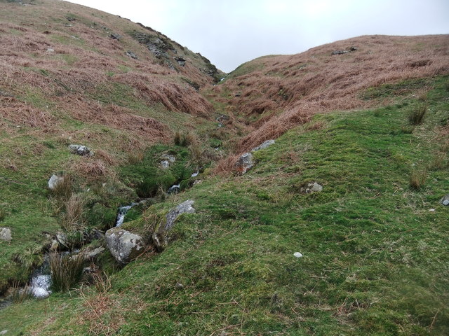
Gibson's Spout is formed by the cascading waters of the River Liza as it tumbles down a series of rocky ledges, creating a mesmerizing display of rushing water. The waterfall is named after a local landowner, Mr. Gibson, who owned the land surrounding it in the 19th century.
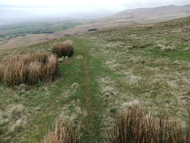
The waterfall is easily accessible, with a well-maintained footpath that leads visitors directly to its base. The path offers stunning views of the surrounding countryside, including the tranquil Ennerdale Water, a nearby glacial lake.
Visitors to Gibson's Spout can marvel at the sheer power and beauty of the waterfall as it plunges into a crystal-clear pool below. The area surrounding the waterfall is rich in flora and fauna, with moss-covered rocks, ferns, and wildflowers adding to its natural charm.
The waterfall is particularly impressive after periods of heavy rainfall, when the River Liza swells and the water cascades down with even greater force. However, caution is advised during such times, as the rocks can become slippery and the current stronger.
Gibson's Spout is a true gem of the Lake District, offering visitors a chance to immerse themselves in the stunning natural beauty of the region and witness the raw power of nature firsthand.
If you have any feedback on the listing, please let us know in the comments section below.
Gibson's Spout Images
Images are sourced within 2km of 54.28431/-3.351059 or Grid Reference SD1288. Thanks to Geograph Open Source API. All images are credited.


Gibson's Spout is located at Grid Ref: SD1288 (Lat: 54.28431, Lng: -3.351059)
Administrative County: Cumbria
District: Copeland
Police Authority: Cumbria
What 3 Words
///detained.bandaged.tones. Near Millom, Cumbria
Nearby Locations
Related Wikis

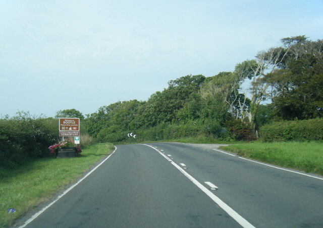
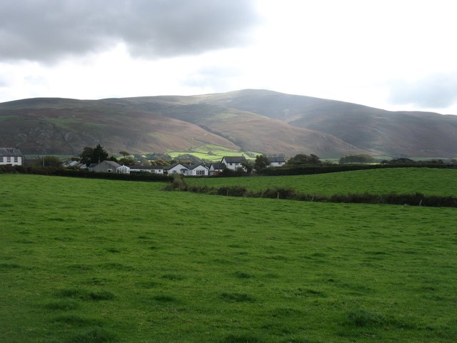
Bootle, Cumbria
Bootle (oo as in boot) is a village and civil parish in the Borough of Copeland in Cumbria, England. The parish had a population of 745 in the 2001 census...
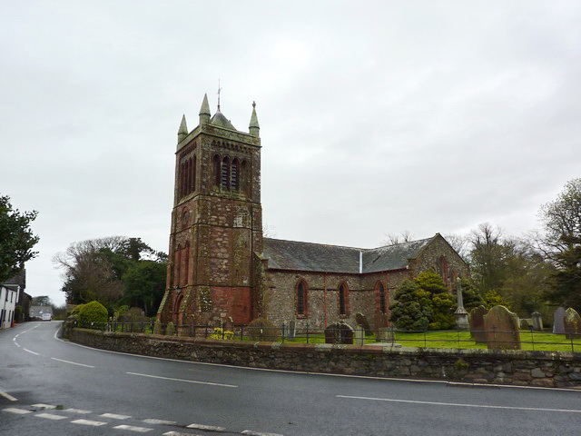
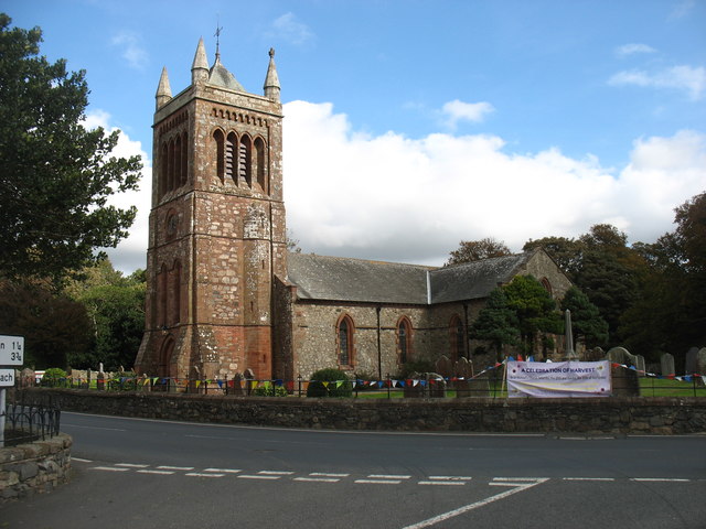
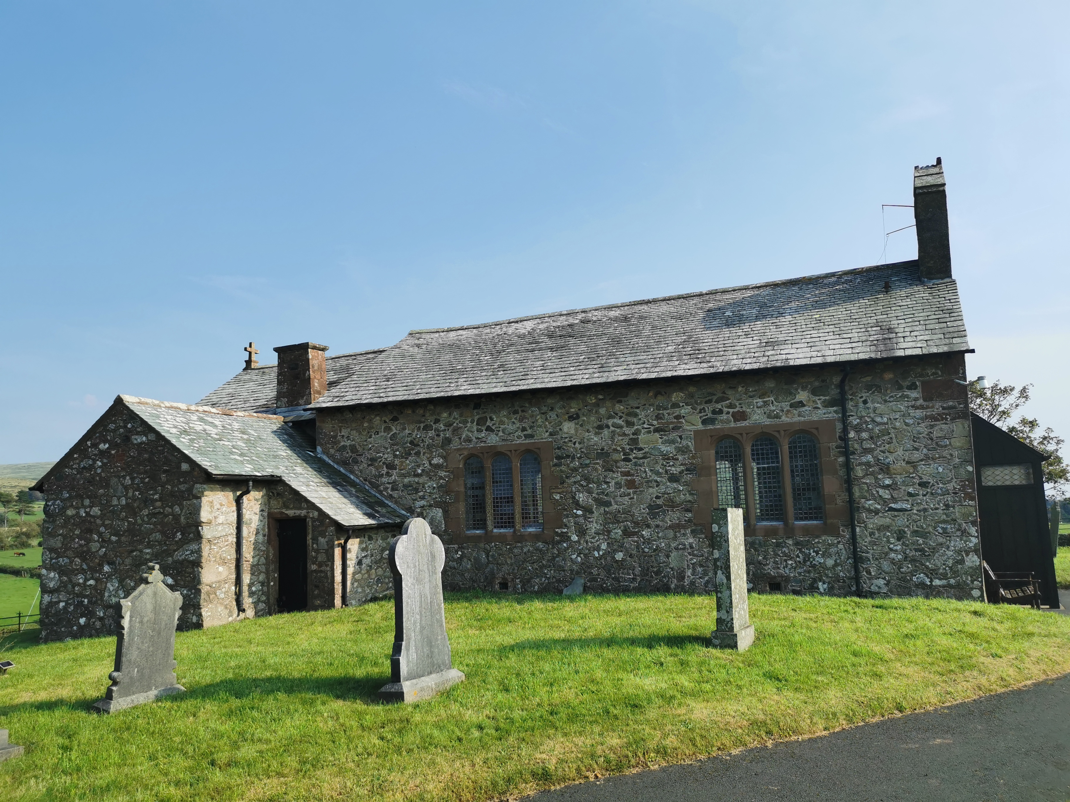
St Michael's Church, Bootle
St Michael's Church is in the village of Bootle, Cumbria, England. It is an active Anglican parish church in the deanery of Calder, the archdeaconry of...
Corney
Corney is a village and former civil parish, now in the parish of Waberthwaite, in the Cumberland district, in the ceremonial county of Cumbria, England...
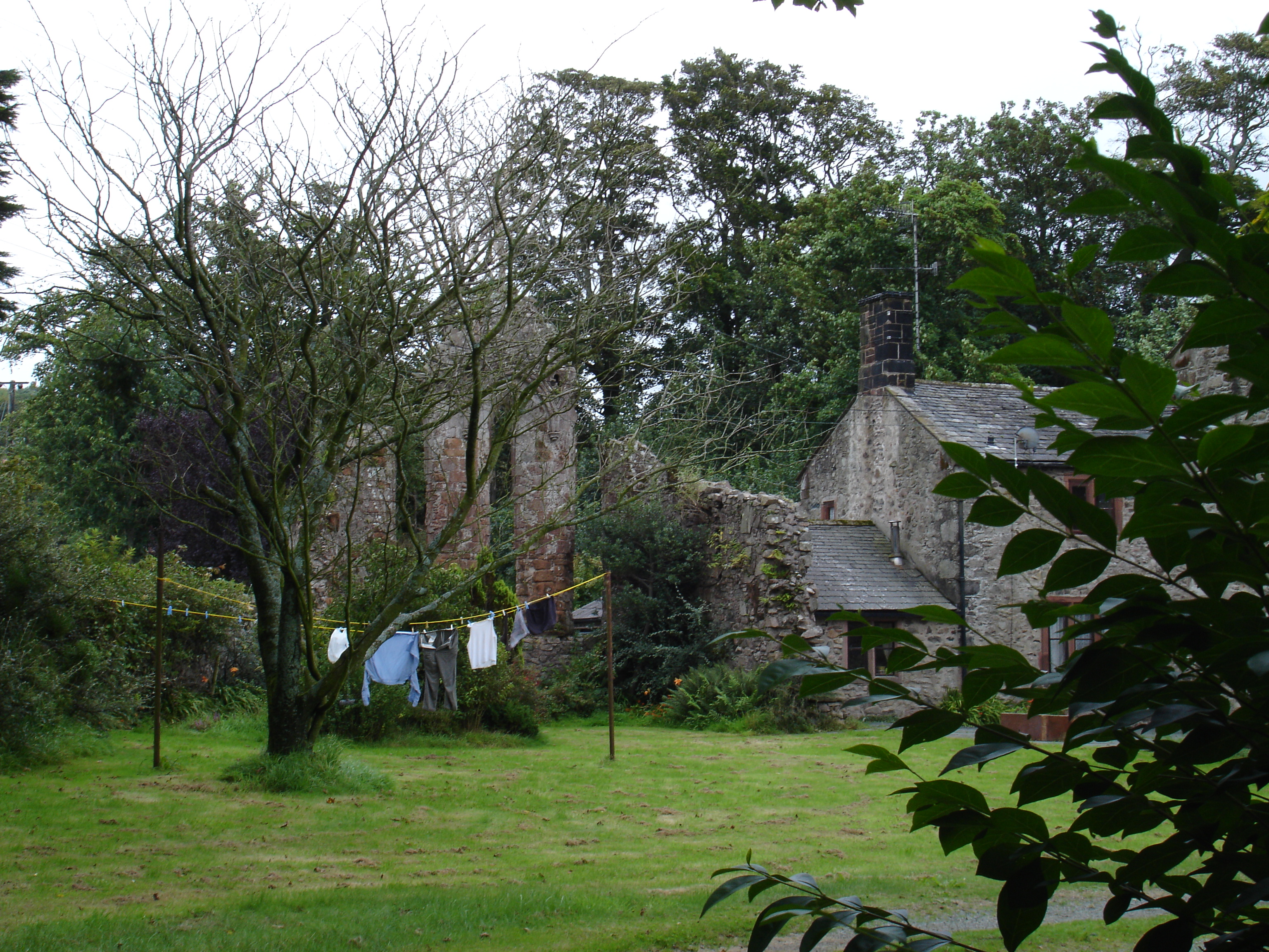
Seaton Priory
Originally called the nunnery of Lekeley from the name of the land it was built upon, the former nunnery of Seaton is to the north of the parish of Bootle...
Hycemoor
Hycemoor is a hamlet in Copeland borough of the county of Cumbria, in North west England. == Location == It is located on a minor road about a mile away...
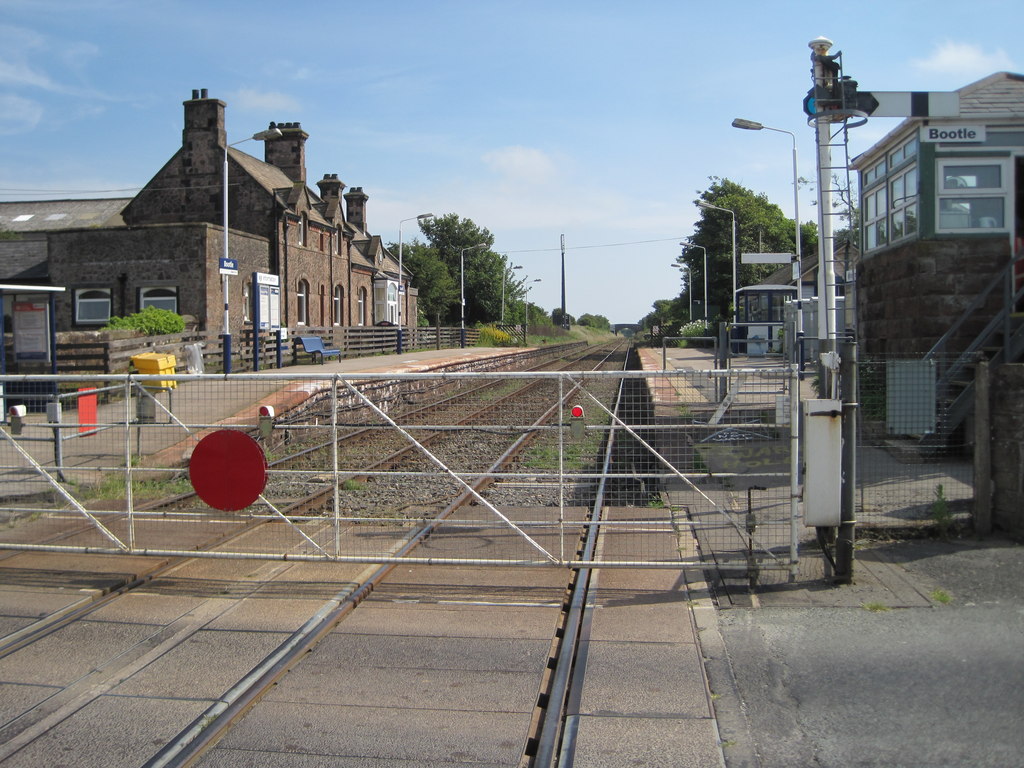
Bootle railway station
Bootle is a railway station on the Cumbrian Coast Line, which runs between Carlisle and Barrow-in-Furness. The station, situated 24 miles (39 km) north...
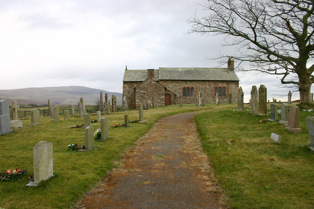
St John the Baptist, Corney
St John the Baptist, is in Corney, Cumbria, England. It is an Anglican parish church in the deanery of Calder, and the diocese of Carlisle. Its benefice...

Black Combe
Black Combe is a fell in the south-west corner of the Lake District National Park, England, just 4 miles (6.4 km) from the Irish Sea. It lies near the...
Nearby Amenities
Located within 500m of 54.28431,-3.351059Have you been to Gibson's Spout?
Leave your review of Gibson's Spout below (or comments, questions and feedback).